Trail Overview
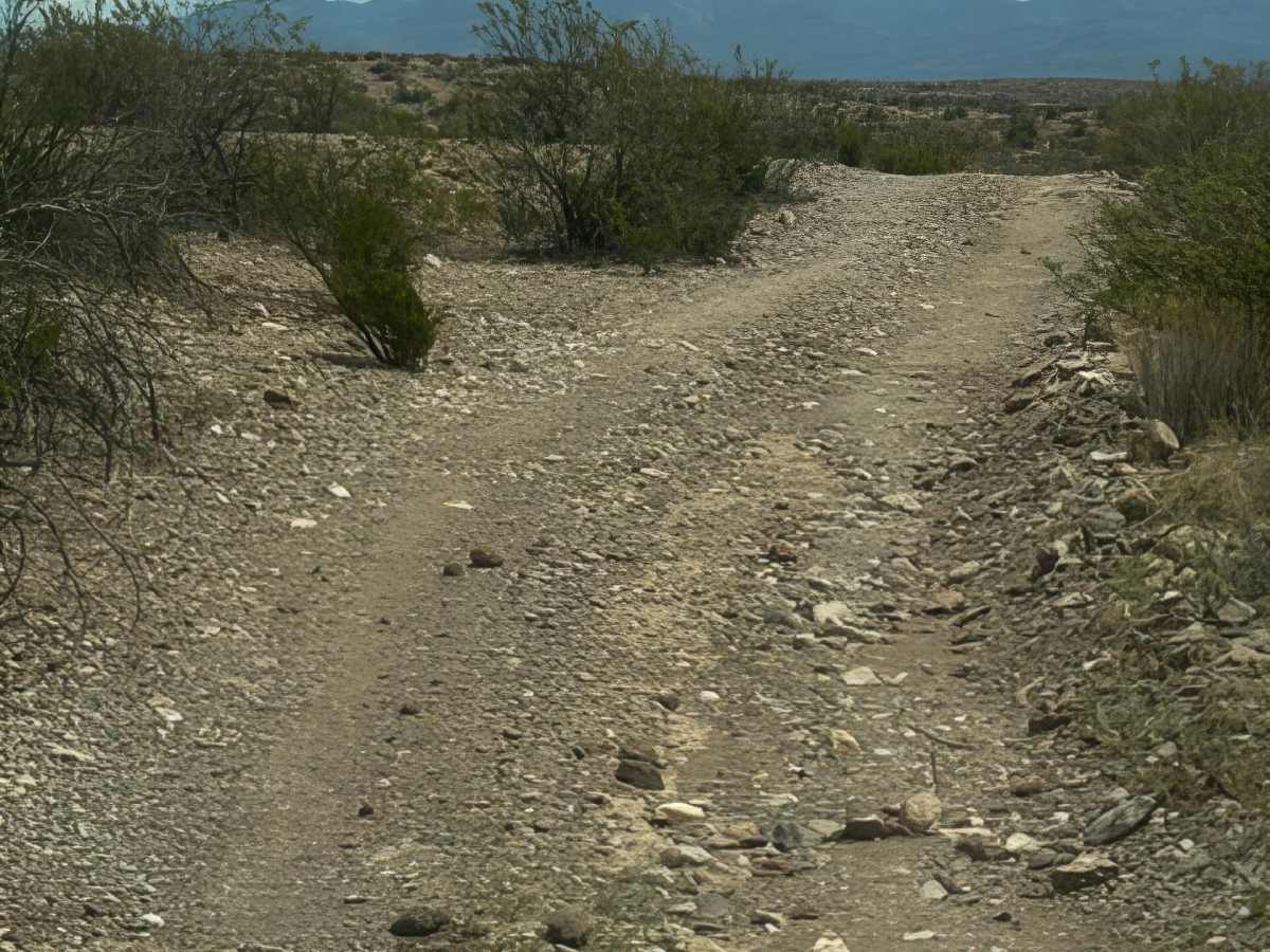
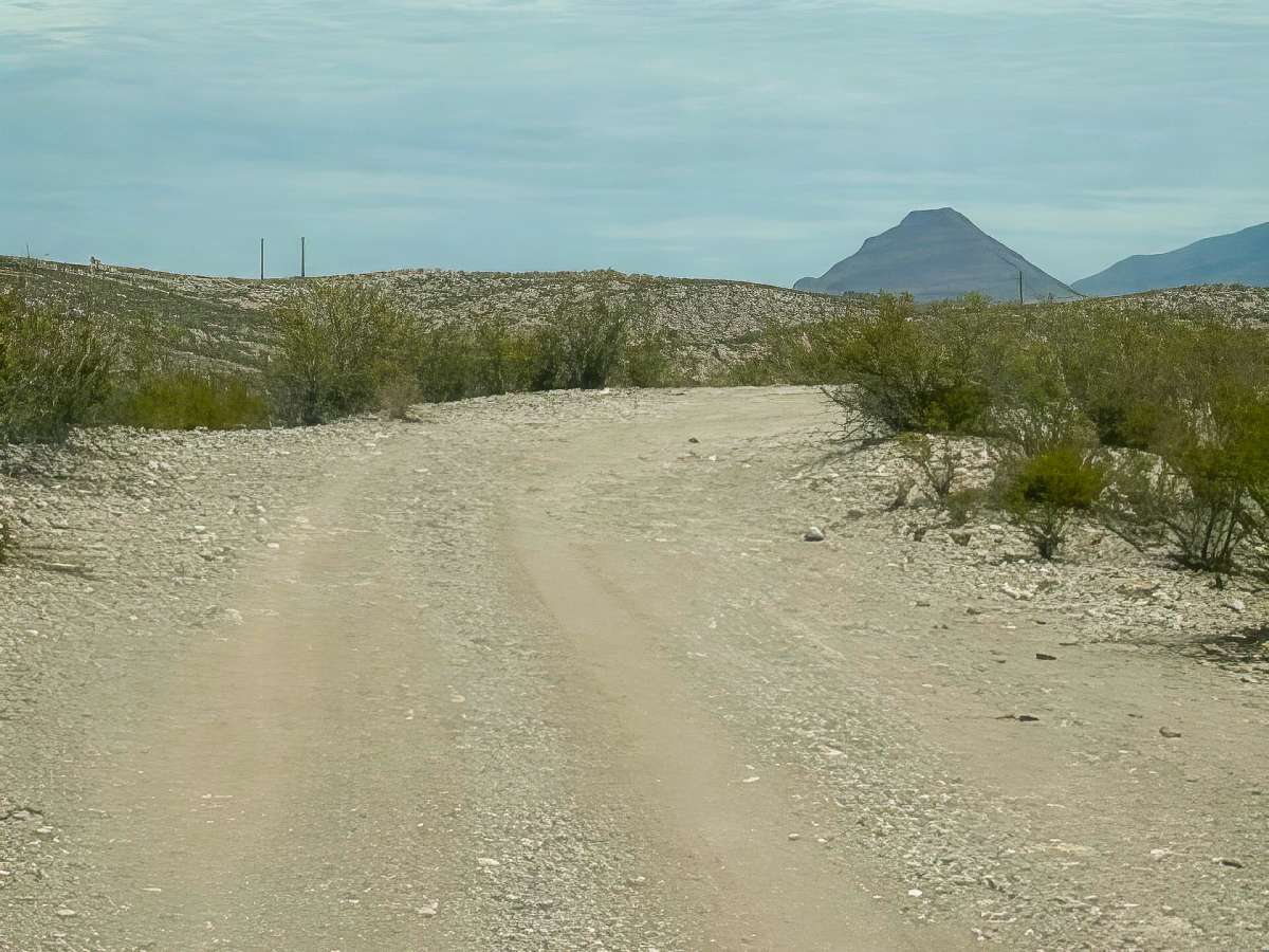
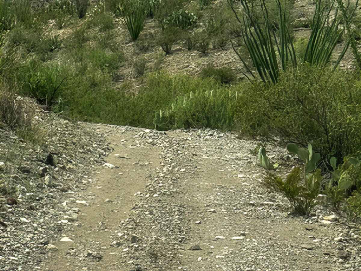
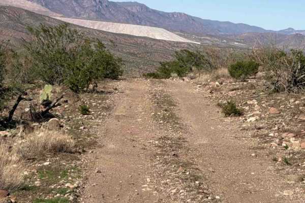
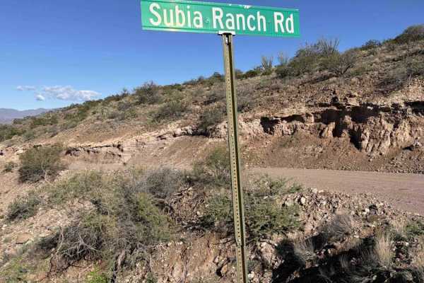
Gillard Road begins off the Black Hills Back Country Byway and travels toward Mo1011 as an out-and-back trail. The route starts as a wide two-track of loose gravel with a few ruts and washed-out sections.
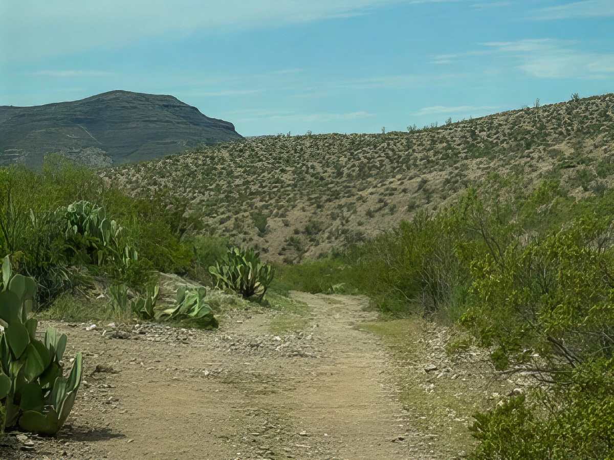
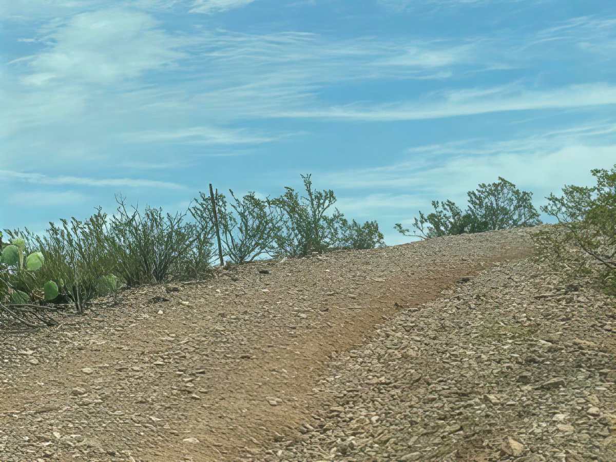
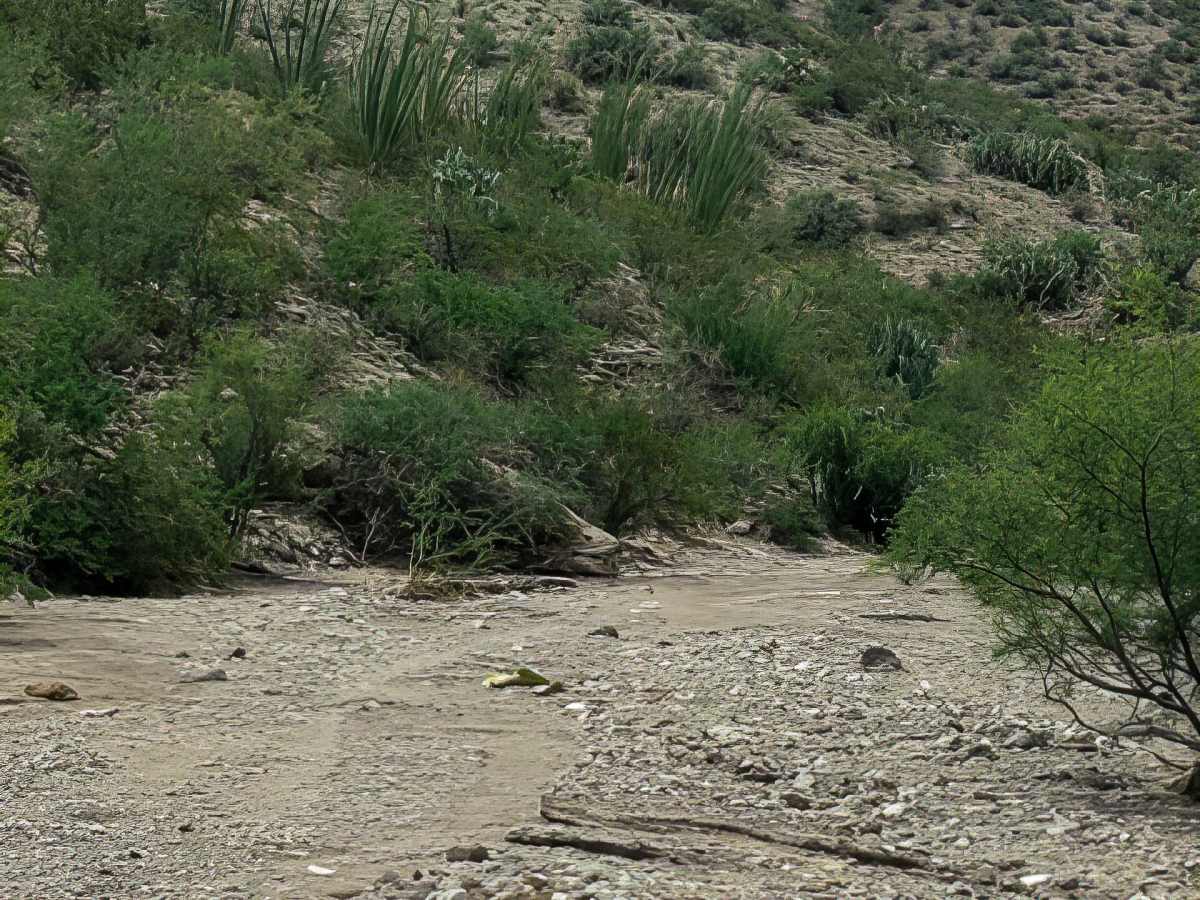
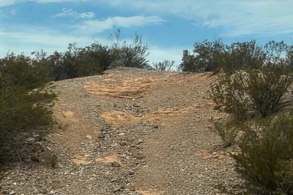
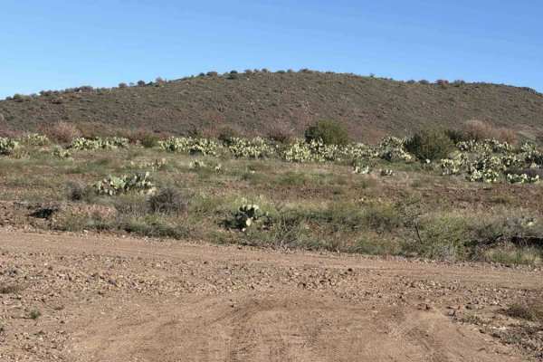
Continuing toward the wash, the trail crosses a cattle guard near a water tank and climbs through a rutted, washed-out section before continuing along a washboard gravel track. At the wash intersection, the route connects with Gb1045, which provides access to the next section of Gillard Road. Beyond this point, the trail becomes much narrower and more challenging. This section is out-and-back; it is also a narrow shelf road surrounded by creosote and prickly pear. Loose, small gravel and numerous washed-out drainage transitions make careful wheel placement crucial, with the shelf dropping toward the wash below. This is a two-way trail with no passing areas, so be prepared for oncoming traffic. The trail eventually reaches the wash and ends there. There is no continuation. Future storms will continue to change the washouts and drainage transitions.
Difficulty
Trail given a 4 for the last section. Mostly easy until the last section, where it is washed out with deep ruts, a shelf road, 2-way traffic, and no turnouts. No specific obstacles found. The only turnaround is in the wash at the end.