Trail Overview
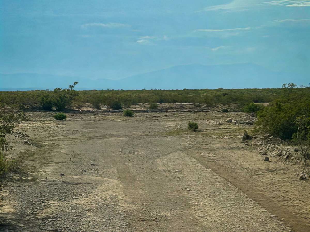
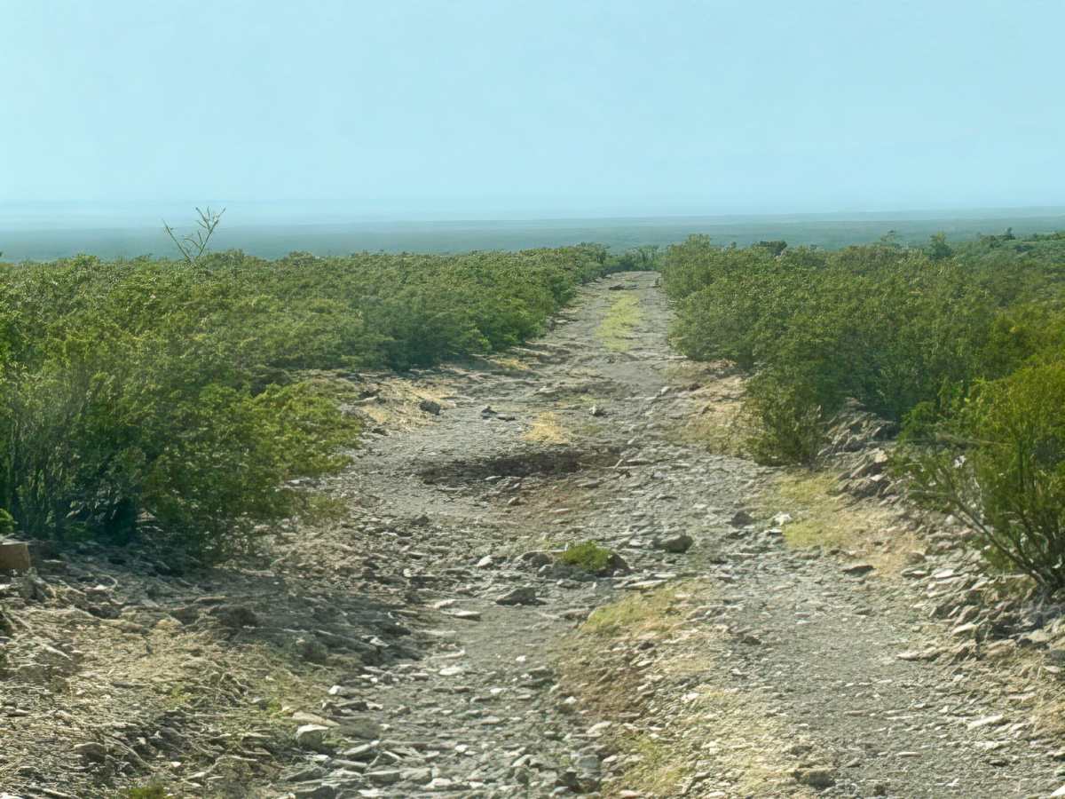
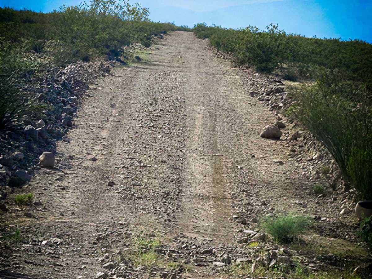
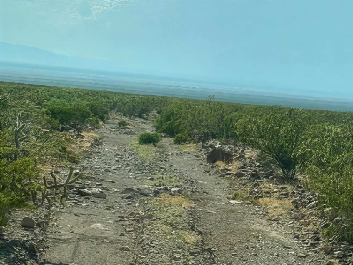
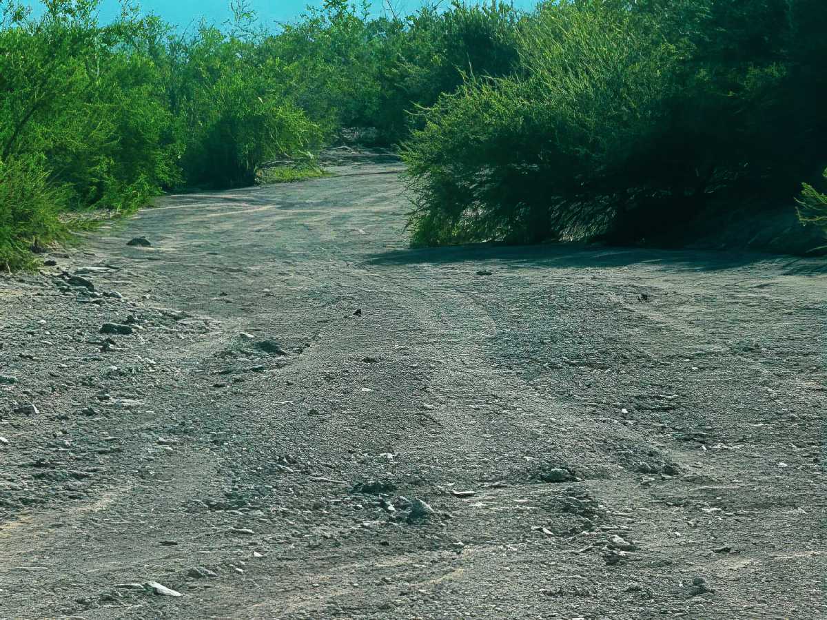
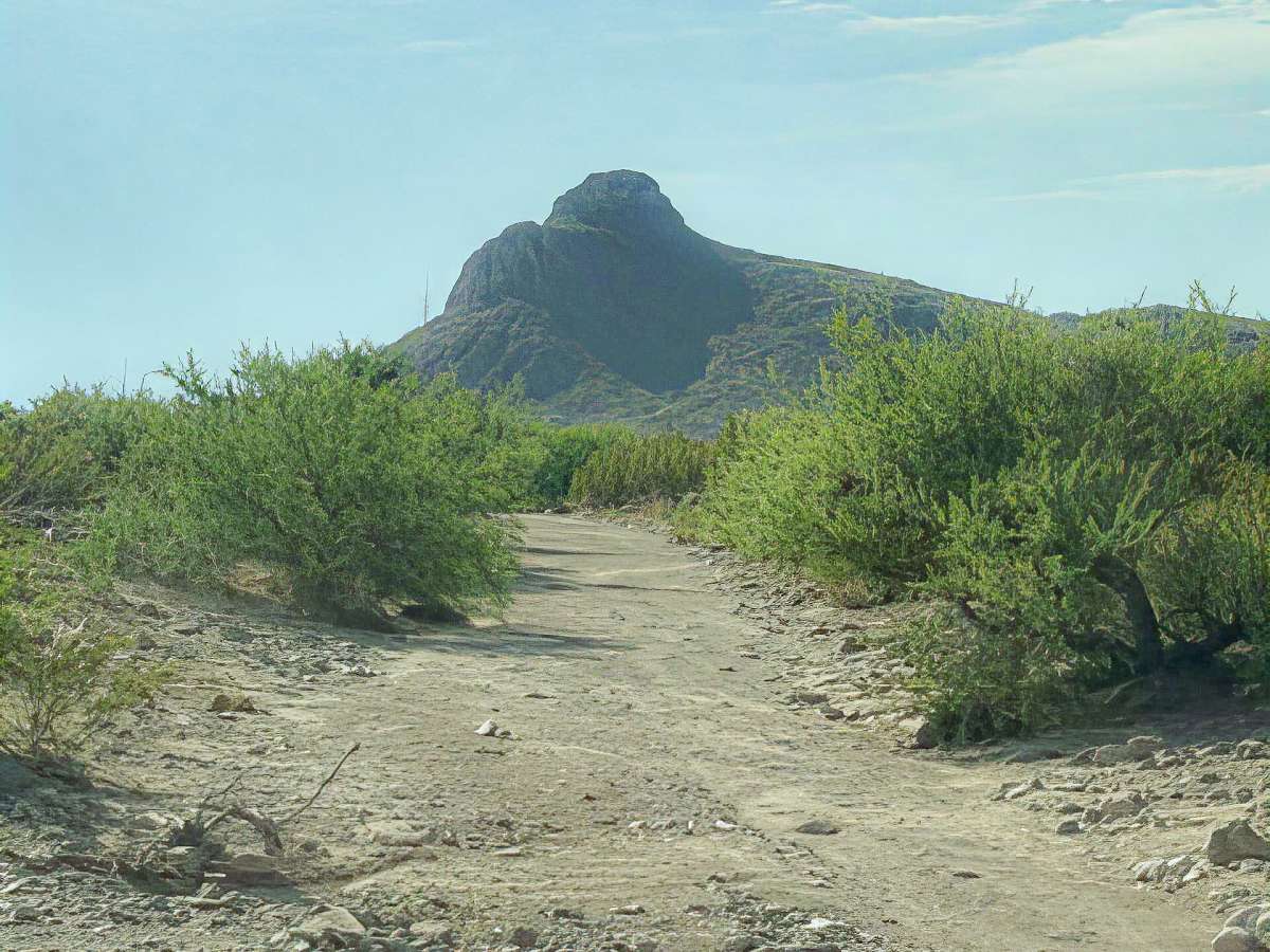
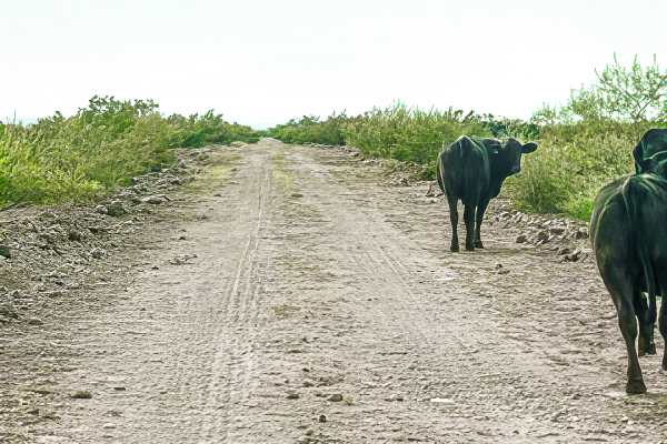
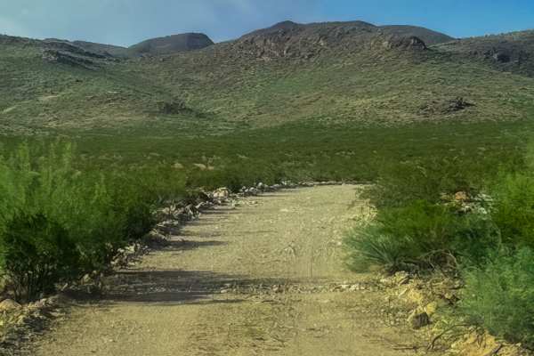
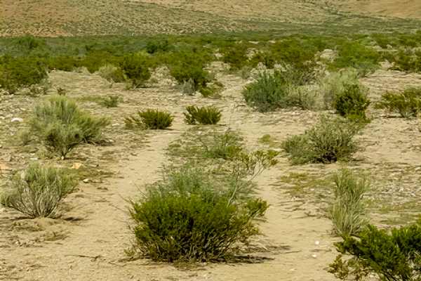
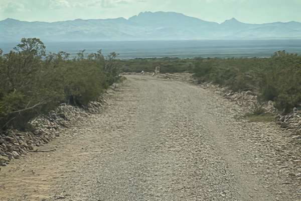
Ss1156 is a point-to-point wash trail around the base of Gold Hill. This trail travels east and west from Ss1127 to Ss1155. The trail is bumpy, with thick sections of loose 6-12” rocks; it is lined with desert landscape to the north. The trail follows the base of the mountain. No obstacles, nothing technical. LTE AT&T service found. Halfway across, there is a closed gate; pass through it and close it. Tank on the north side. No camping .5 mile from any water tank. Beautiful mountain landscape. Sunset views. Make sure to check out the east side of Gold Hill and look up. One wash crossing. Gold Hill is the most interesting find on the trail. Looks like a giant skull.
Difficulty
Ruts and loose 6-12” rock gravel, lined by overgrown shrubs; pinstripes possible. No obstacles, nothing technical.
History
Gold Hill is part of a historic mining landscape dating back more than 100 years. Prospectors worked the surrounding hills for gold, copper, silver, and other minerals, while ranchers used the valleys and water sources below. Gold Hill was already marked on USGS maps in 1917, alongside historic mines, ranches, tanks, wells, and detention dams—many reminders of how people once made a living in this rugged desert.

 Offroad