SS1130

Total Miles2.2
Technical Rating
2Easy
Best TimeSpring, Summer, Winter, Fall
Trail TypeFull-Width Road
Accessible By
Open Trail Map

Trail Overview

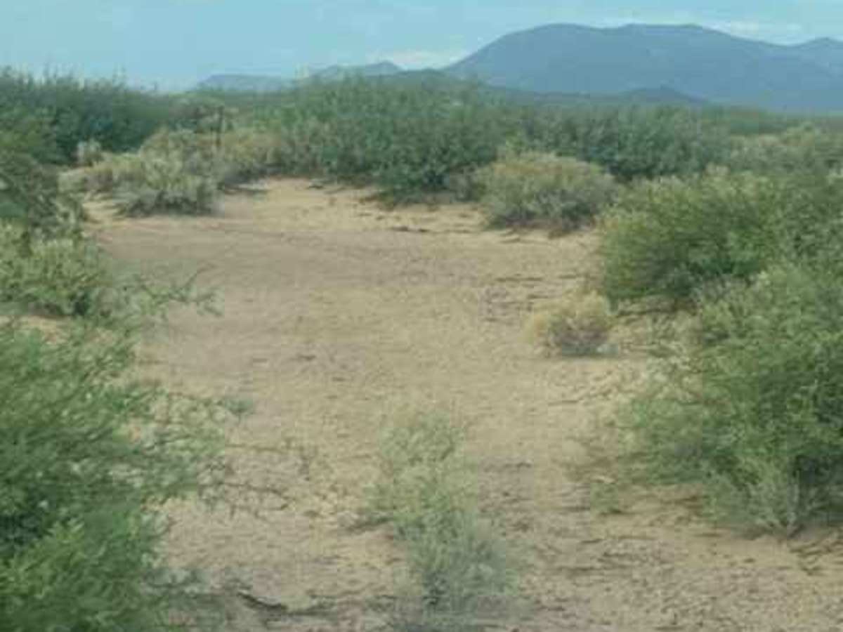
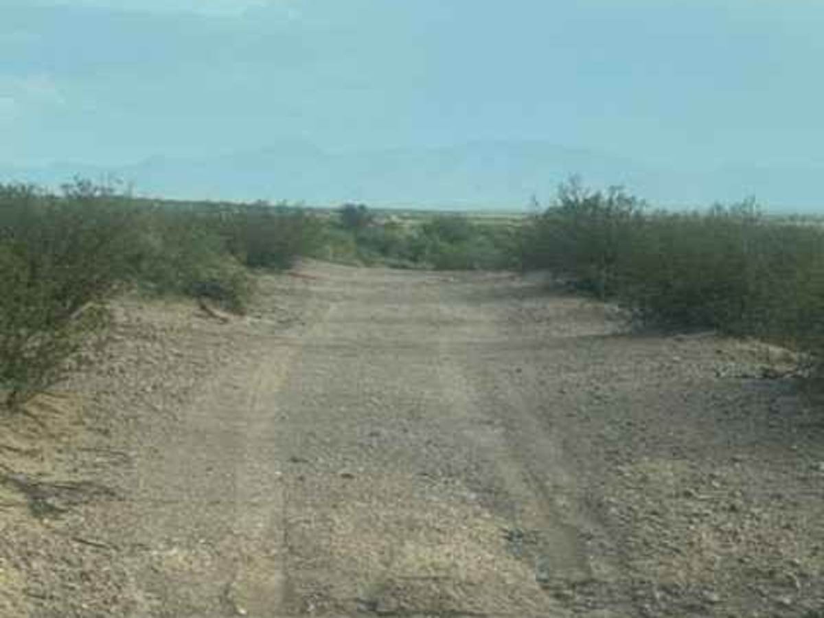
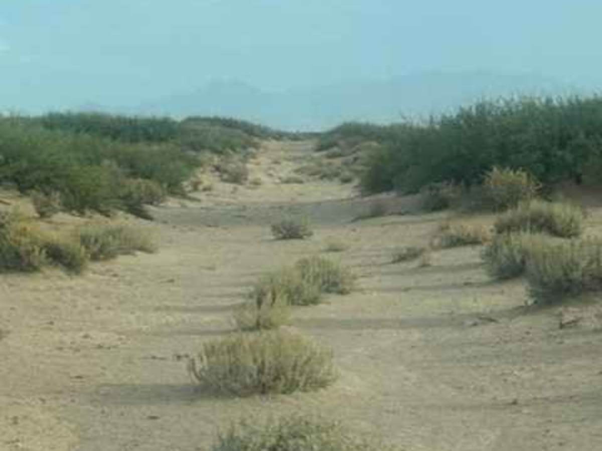
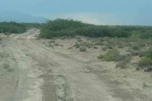
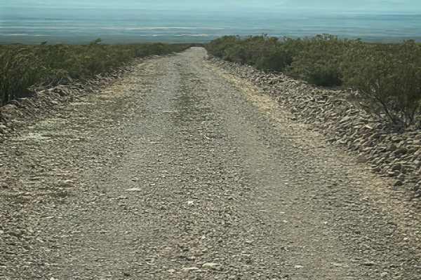
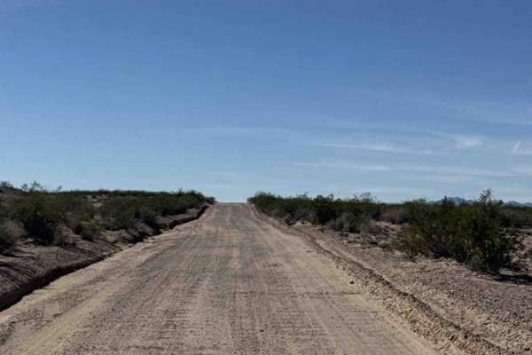
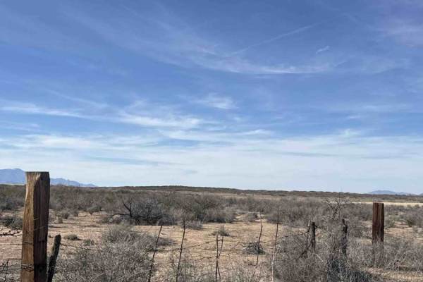
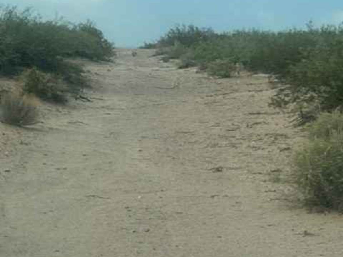
SS1130 begins off SS1123 and goes north and south. This is a natural trail and turns into sand; there are lots of ruts and wash-out sections. Watch your speed. Winds through sandy desert terrain. 4WD high clearance needed; sand is deep in some sections. It follows the fence line; could become impassable in wet conditions. Few tight sections; expect pinstripes in the north section. Trail will continually change with every future storm. The southern section of the trail has lots of erosion across the trail, deep water washouts, nothing technical, no obstacles found. The original right turn has disappeared and has become overgrown, no longer accessible. So the trail ends sooner than the map suggests

Photos of SS1130

Difficulty

Deep ruts, harsh water drainage transitions. Few tight trees; pinstripes most likely. No obstacles, nothing technical

Technical Rating

2

SS1130 Trail can be accessed by the following ride types:

  • Single Track
  • 50 Inch
  • 60 Inch
  • High Clearance
  • Full Width

SS1130 Map

The onX Offroad Difference

onX Offroad combines trail photos, descriptions, difficulty ratings, width restrictions, seasonality, and more in a user-friendly interface. Available on all devices, with offline access and full compatibility with CarPlay and Android Auto. Discover what you're missing today!

Open Trail Map