Trail Overview
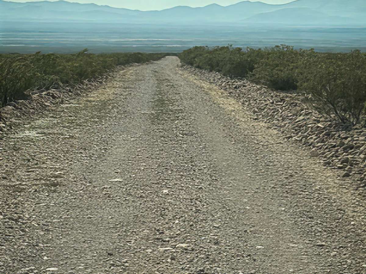
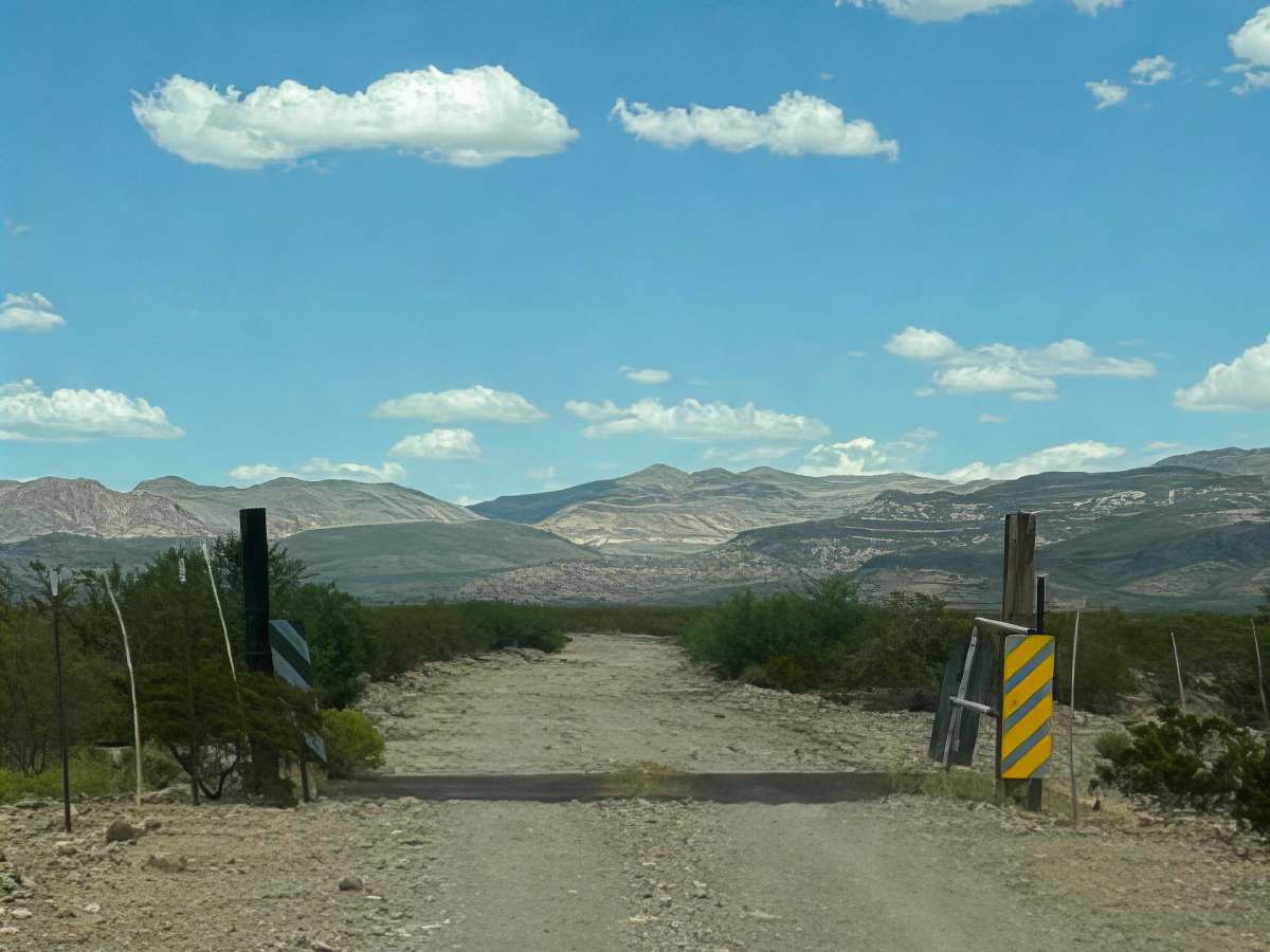
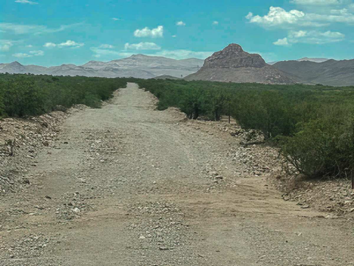
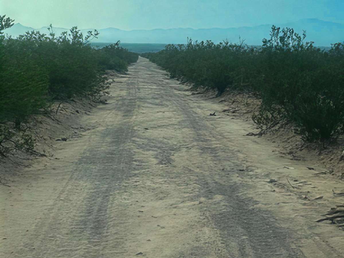
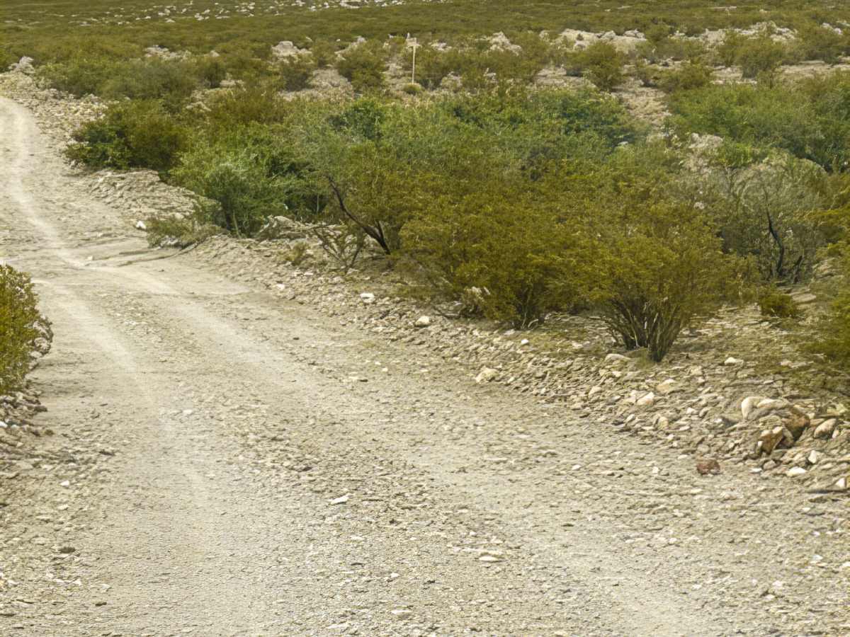
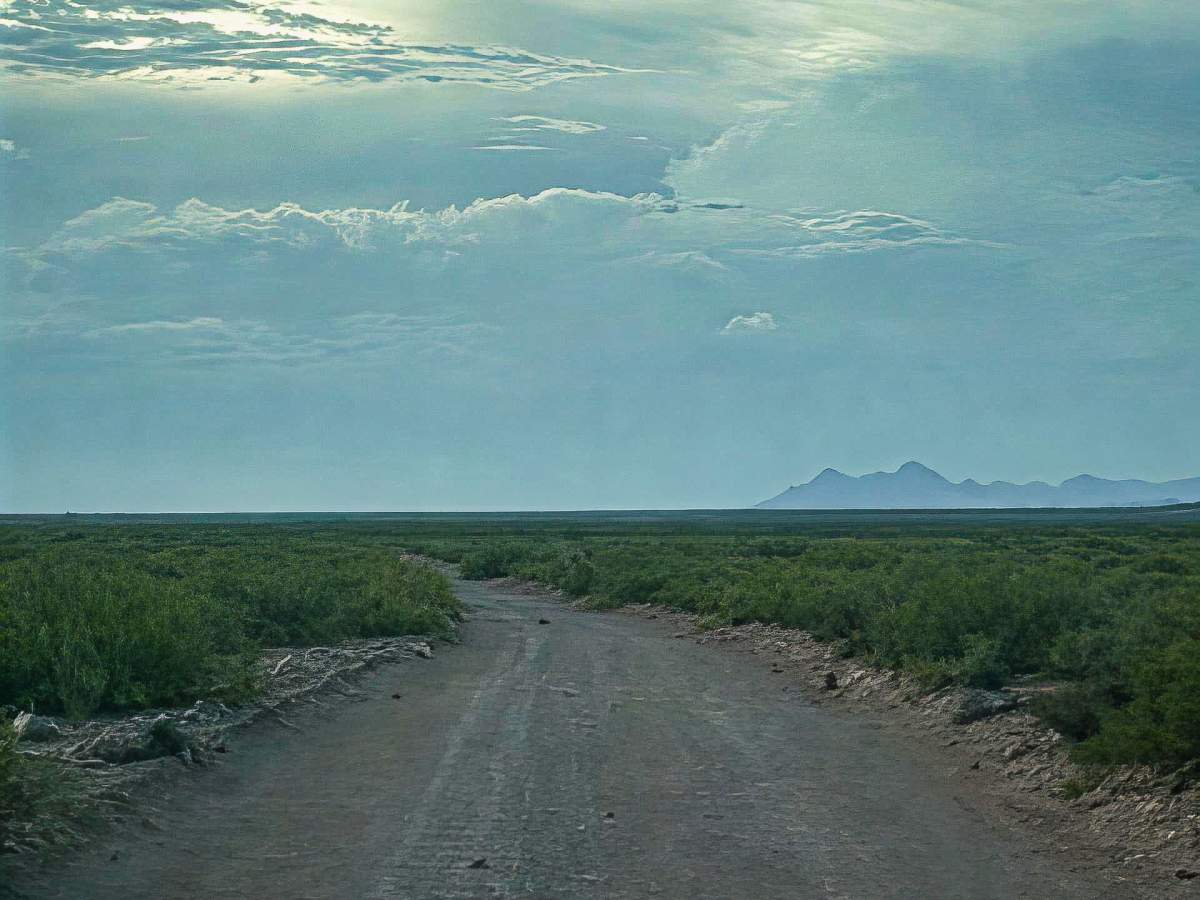
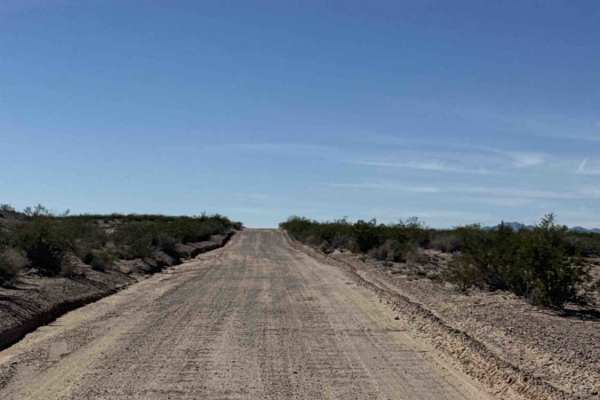
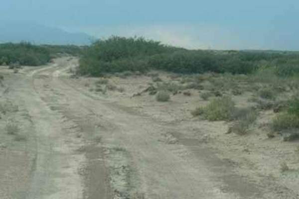
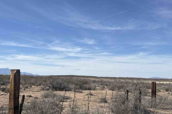
Trail SS1127 starts south of SS1149, crosses over, and heads north. This is a wide, 2-lane point-to-point trail, bumpy but manageable. Rock berms on both sides; you will pass through a cattle guard. The trail is surrounded by the Peloncillo Mountains to the north. Look up at Gold Hill to see the arch. Next, the trail passes McKenzie Peak, and you will cross another cattle guard and make a Hard left to continue west. There are several other trails in this area. All with amazing scenery. The trail is well established and very used. Beautiful Sunday trail ride with lots of other trails to explore. The passage through the private property is open; leave the gate at the tank as you found it. On the other side of the private property, there’s a cattle guard. The gravel trail continues Northwest and eventually connects to SS1123 and SS1050, which is the east-west connector all the way across to Hwy 70 on the north in Safford. This is an excellent connector trail from the Northwest to the Southeast trails.