SS1127G

Total Miles2
Technical Rating
2Easy
Best TimeSpring, Summer, Fall, Winter
Trail TypeFull-Width Road
Accessible By
Open Trail Map

Trail Overview

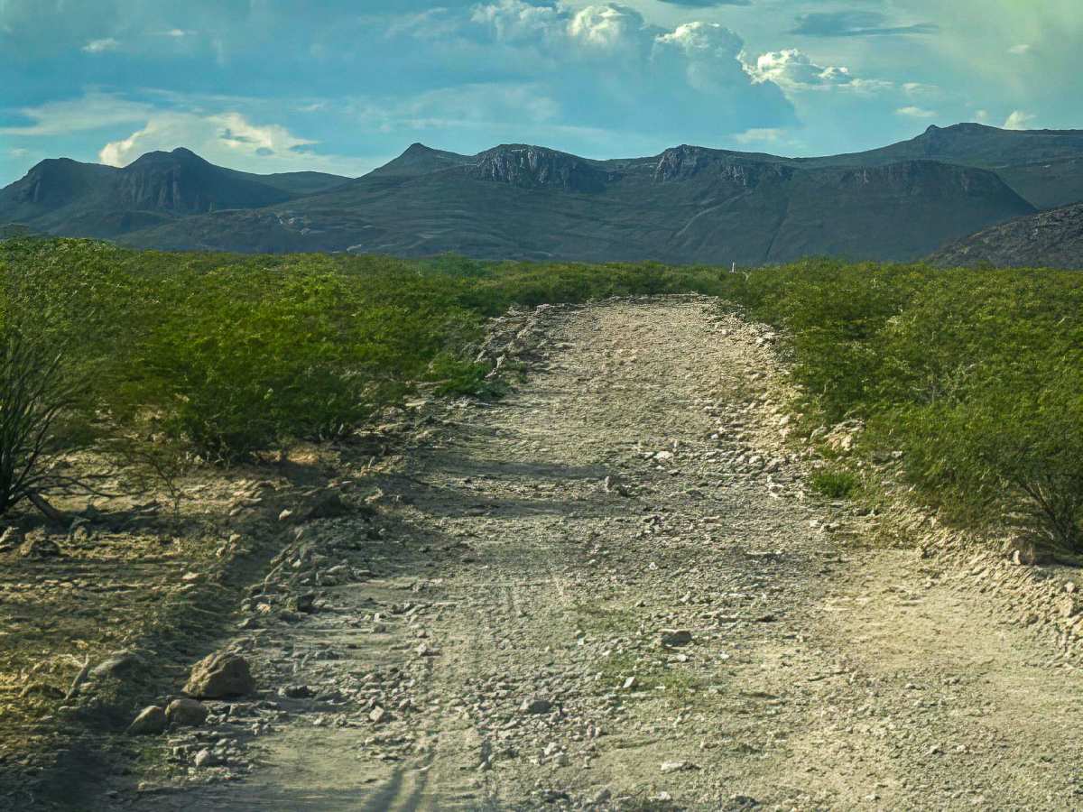
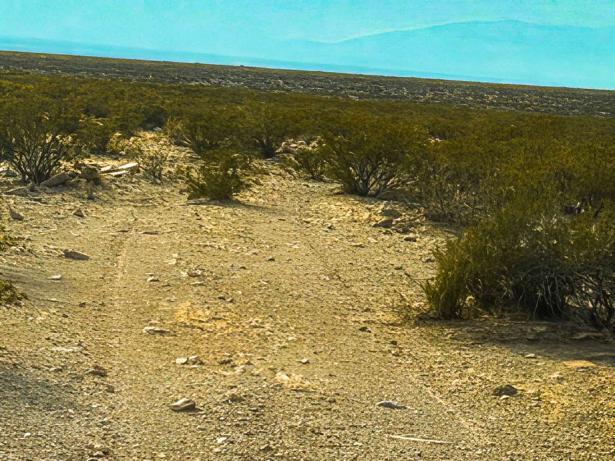
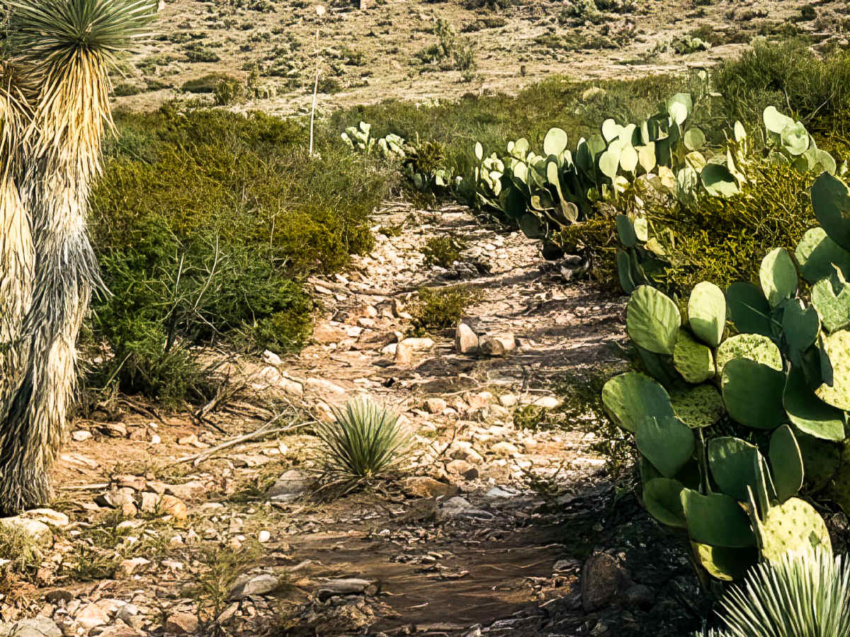
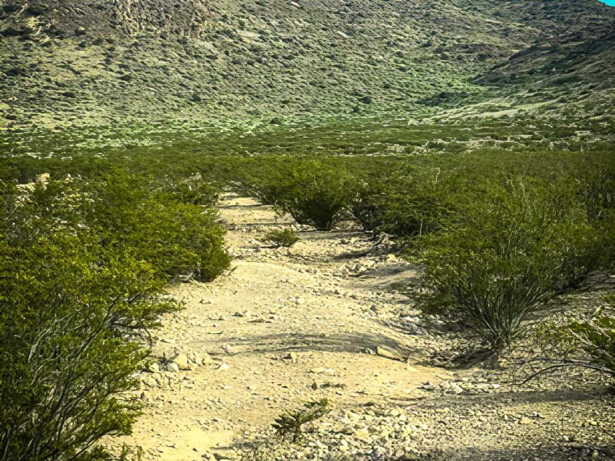
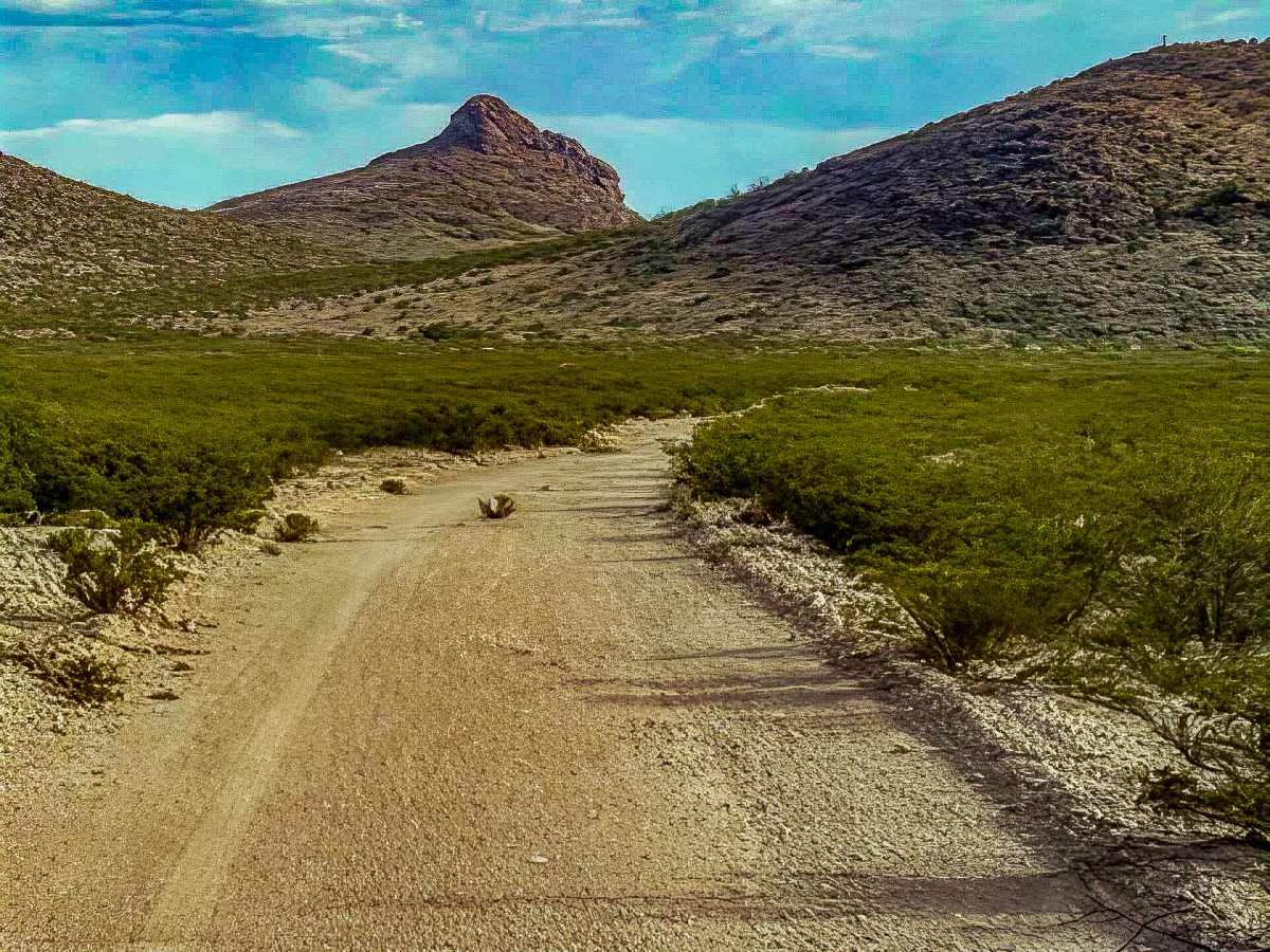
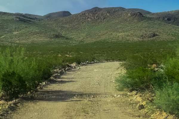
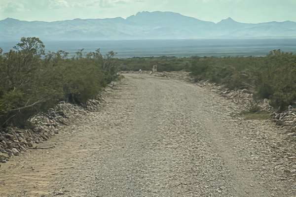
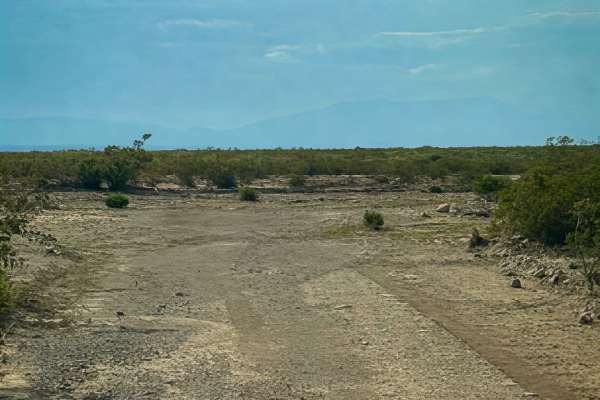
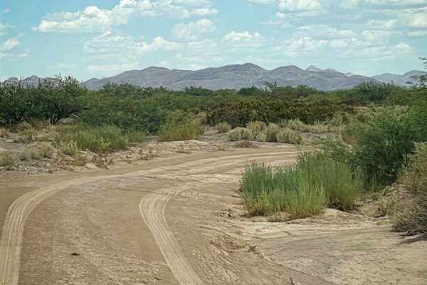
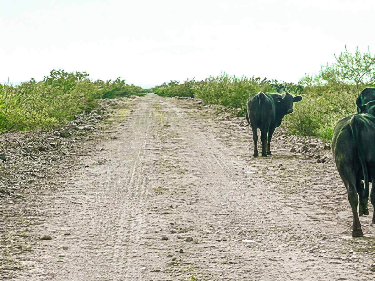
SS1127G is a wide, easy track at the base of the mountains, making it a great route for exploring the surrounding area. This out-and-back trail begins at SS1127. The endpoint connects to a no-motorized-use trail, so vehicle travel ends here. At the feeding trough, the trail turns southeast and becomes more natural and narrower but remains wide enough for full-size vehicles with minimal pinstriping. The route continues into the valley between the mountains with several natural drainage, rut, and wash transitions. The final half becomes increasingly narrow due to overgrown prickly pear cactus and tall yucca. Expect some pinstripes through this section. The trail could become impassable when wet, and future storms will likely continue to erode and reshape the backside of the route. No camping was found. The area offers beautiful sunset views and is a great spot to explore the surrounding mountain valleys.

Photos of SS1127G

Difficulty

Ruts, water drainage transitions, bumpy; the last half of the trail gets tight, with cactus & rocks getting larger. 4wd recommended and high clearance

Technical Rating

2

SS1127G Trail can be accessed by the following ride types:

  • Single Track
  • 50 Inch
  • 60 Inch
  • High Clearance
  • Full Width

SS1127G Map

The onX Offroad Difference

onX Offroad combines trail photos, descriptions, difficulty ratings, width restrictions, seasonality, and more in a user-friendly interface. Available on all devices, with offline access and full compatibility with CarPlay and Android Auto. Discover what you're missing today!

Open Trail Map