Trail Overview
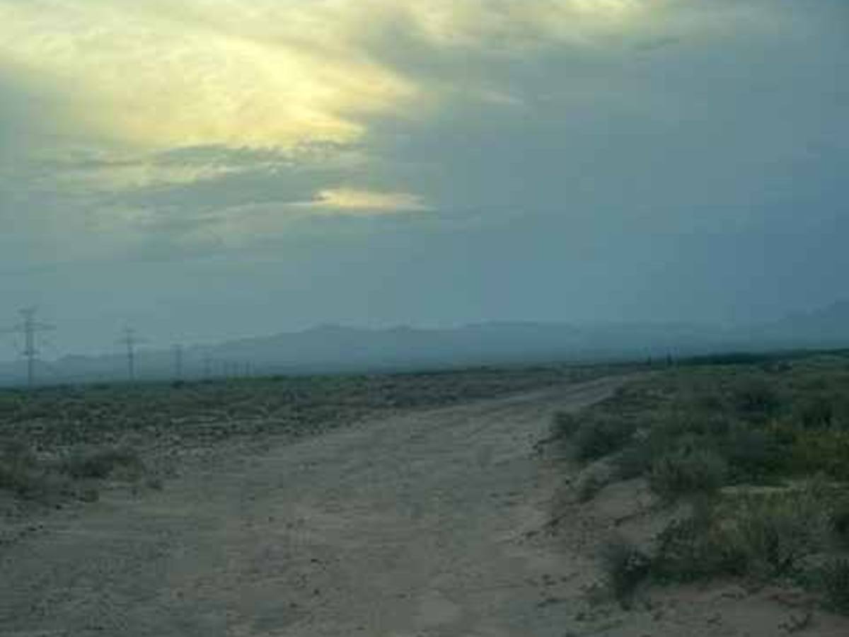
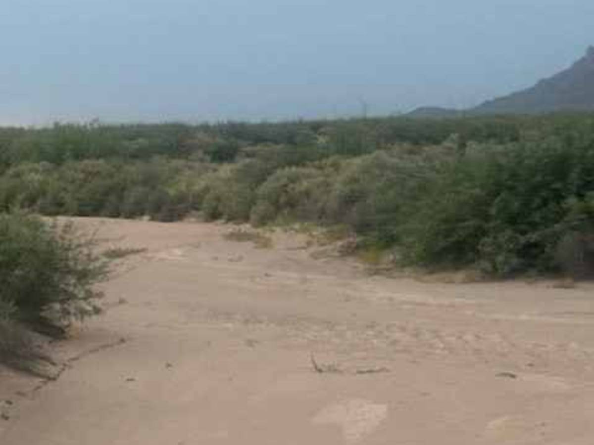
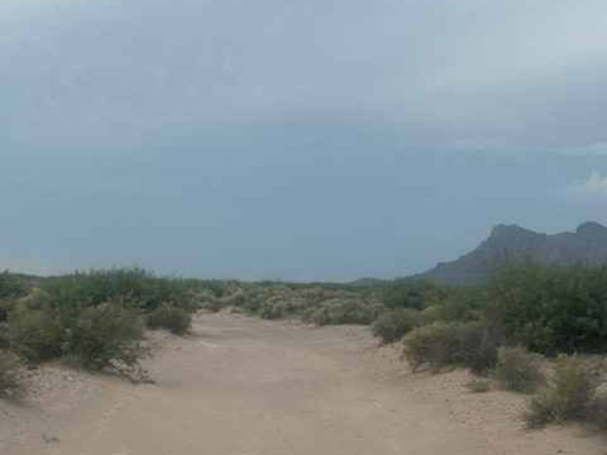
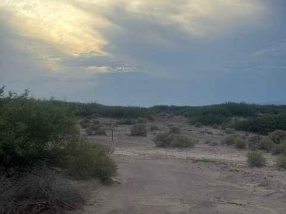
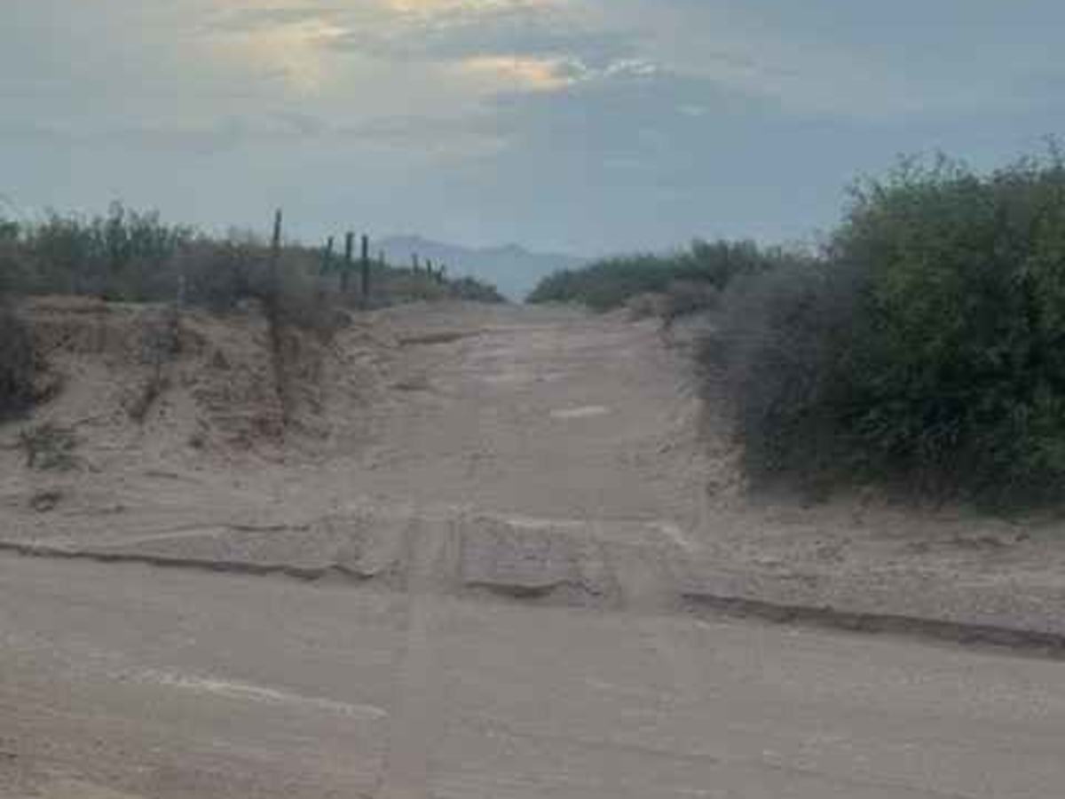
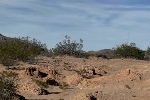
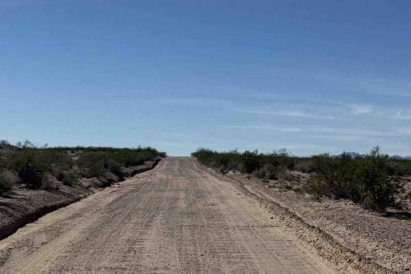
SS1106 is a wide sand trail that runs east-west between SS1050 and SS1104. Hard-packed sand, wide, surrounded by desert bushes, yucca, and creosote; this trail snakes through the desert. Eventually makes a hard left at the fence line outside the state trust land. Eventually, this trail starts making its way around the base of the dunes. Extremely fun trail. No obstacles, nothing technical, but might become impassable in wet conditions. Several side trails found. This trail makes several curves around. Pay attention to the trail line and markers in the area; there are a few no-motorized-use areas. Also, this is a 2-way trail, so pay attention to oncoming traffic. It eventually follows the fence line to SS1104, which is an exit. Remember, every rain and monsoon continues to reshape this area. This trail will be forever changing. 4WD recommended for sand. Reminder: this entire area is a flash-flood area. Great Connector between the east and west trails that take you north and south.
History
The San Simon Desert in southeastern Arizona has a rich history shaped by the Chiricahua Apache, early settlers, ranchers, miners, and railroad travelers. The San Simon Valley became an important travel corridor between Arizona and New Mexico, with ranching and water sources playing a major role in its development. Today, remnants of old roads, ranch routes, water tanks, and historic travel corridors can still be found throughout the desert. The San Simon Valley has a long history of water-control structures, including numerous retention dams, diversion structures, and check dams built to slow runoff, reduce erosion, and manage flooding. Many of these structures date back decades to historic ranching and federal water-conservation projects, and they remain visible throughout the desert today. Monsoon storms continue to test these drainage systems and reshape the surrounding washes

 Offroad