Trail Overview
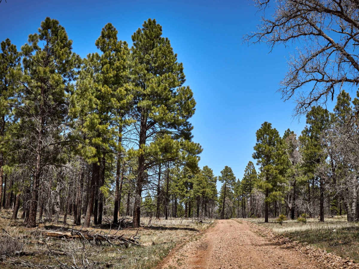
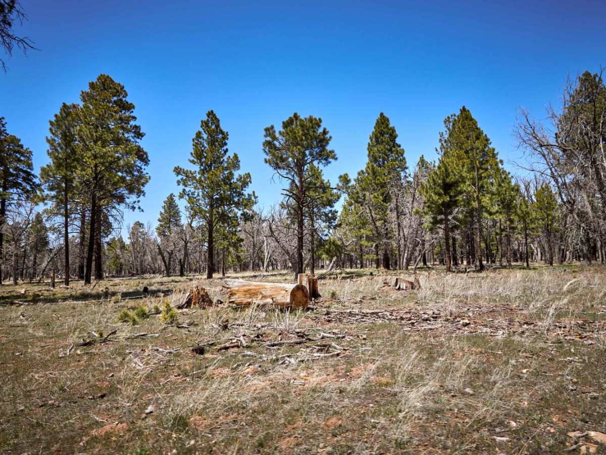
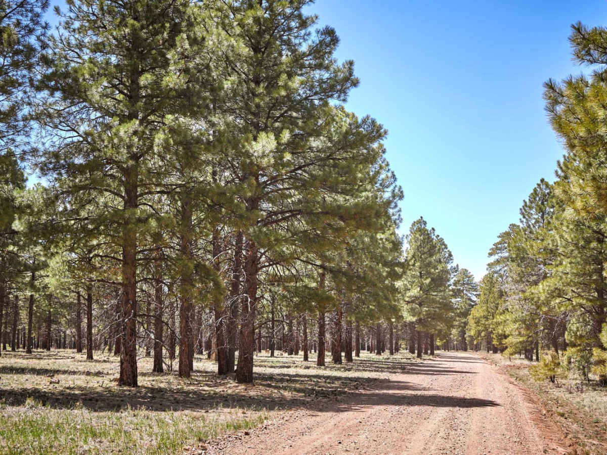
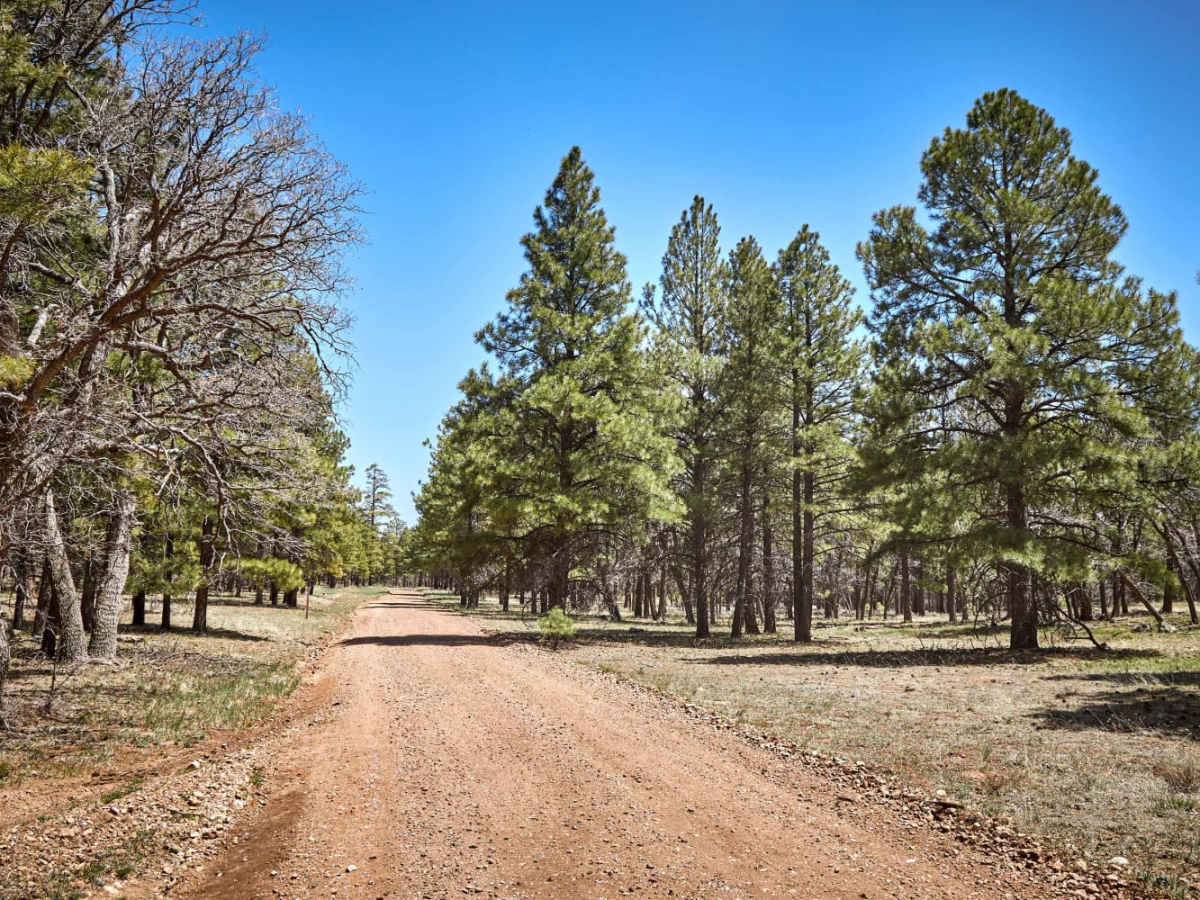
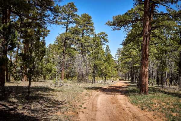
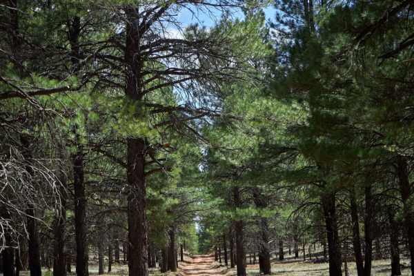
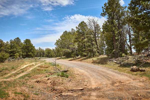
Ski Trail Connector 1 is an easy, highly accessible route perfect for beginners, scenic cruisers, and campers towing large trailers who want to experience the quiet beauty of the Kaibab National Forest. Stretching approximately 1.06 miles, this wide, well-maintained dirt road is passable for standard two-wheel-drive vehicles under dry conditions, though high-clearance vehicles, four-wheel-drive SUVs, and SxSs will find it an effortless drive. The trail features a gentle, minimal descent of about 105 feet, dropping from a maximum elevation of 7,523 feet down to 7,415 feet. Along the way, travelers wind through a forest of ponderosa pines, junipers, and piñon pines, with frequent opportunities to spot local wildlife such as elk, deer, and cattle grazing in the open grassy meadows.
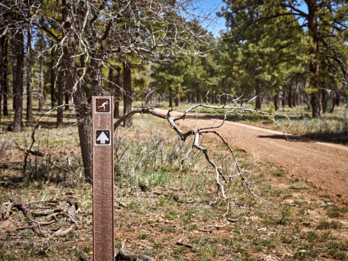
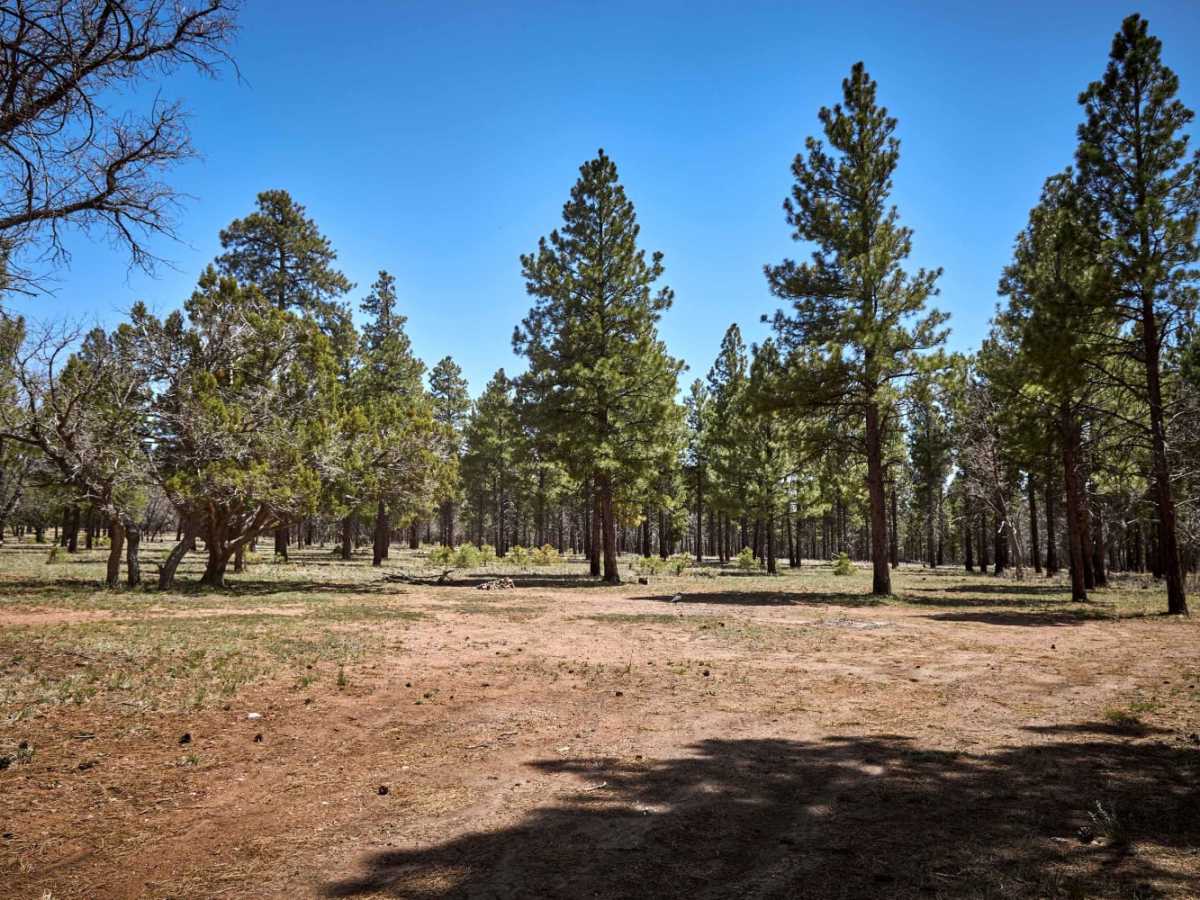
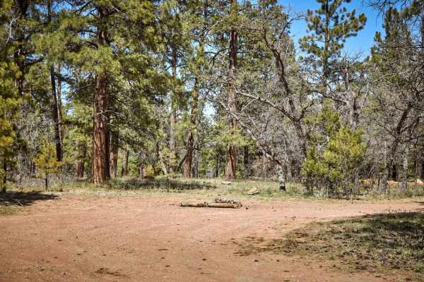
Conveniently located near the Grandview Lookout Tower, the northern end of the route offers spacious, primitive pull-through campsites that are highly suitable for fifth-wheels and travel trailers. During the winter months, when snow accumulation is sufficient, this gentle corridor transforms into a cross-country ski trail, meaning motorized access is restricted during heavy winter weather. The route serves as a seamless connector between Forest Service Road 310 and Road 2719, allowing drivers to easily navigate the local forest network. With its technical difficulty rated at a 1 out of 10, the trail contains no major obstacles or steep gradients, providing a straightforward dirt-road driving experience for all skill levels.

 Offroad