Sears Point

Total Miles 7.1
Technical Rating
3 Easy
Best Time Spring, Winter
Trail Type Full-Width Road
Accessible By
Open Trail Map

Trail Overview

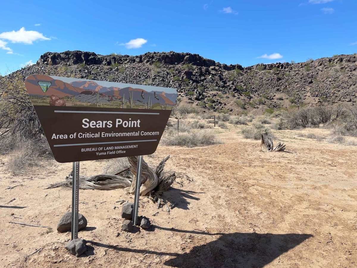
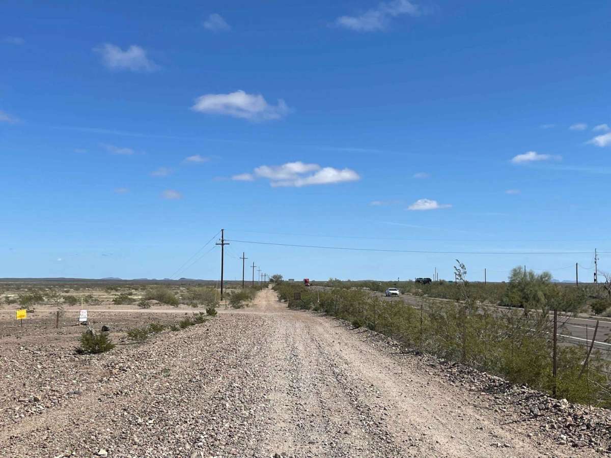
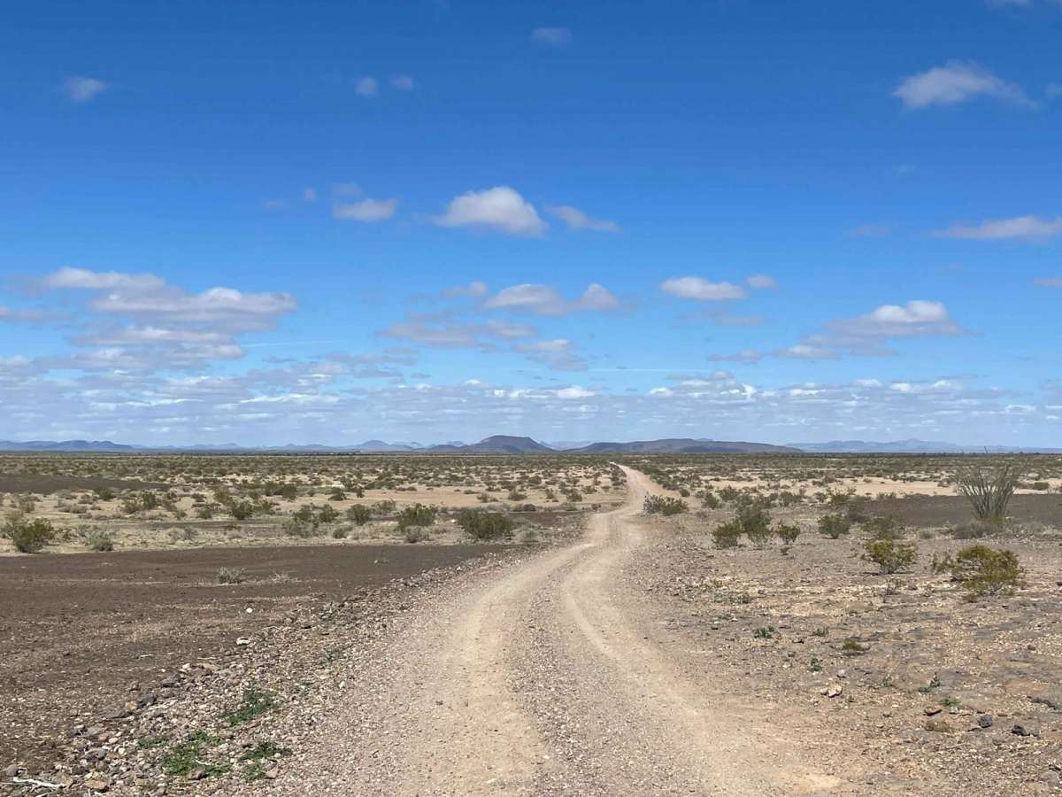
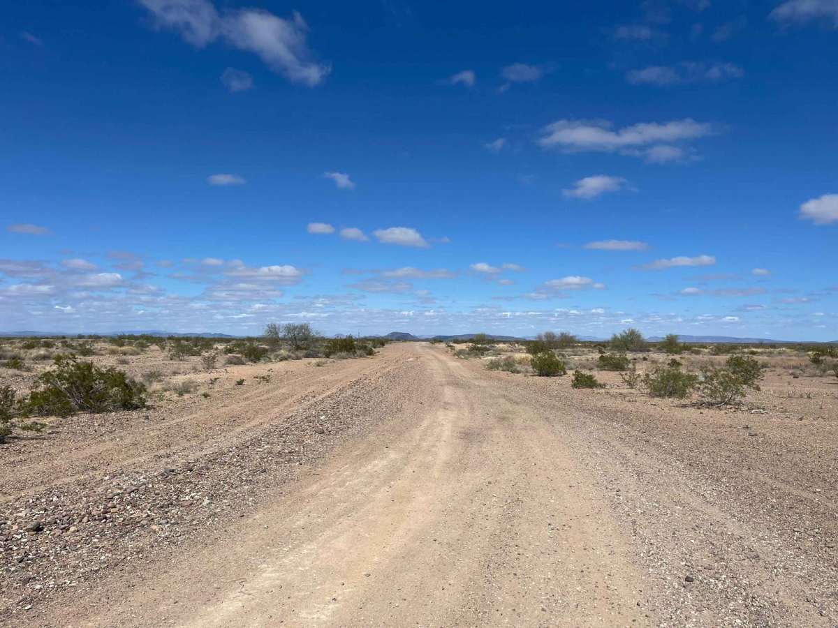
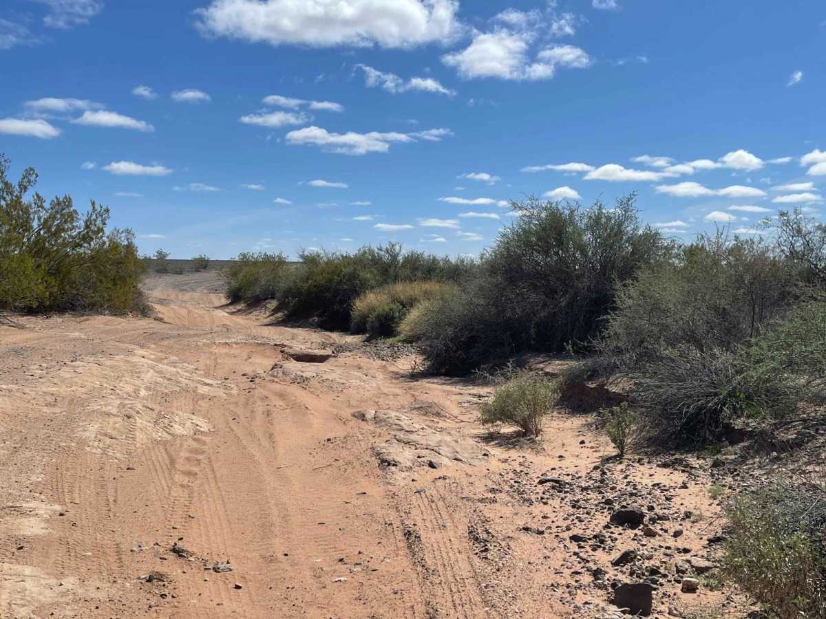
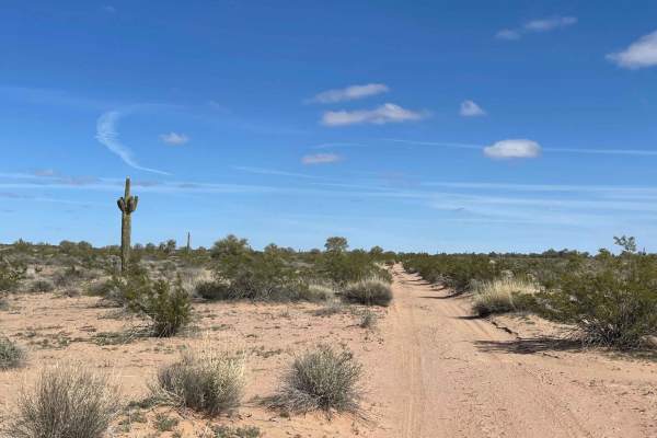
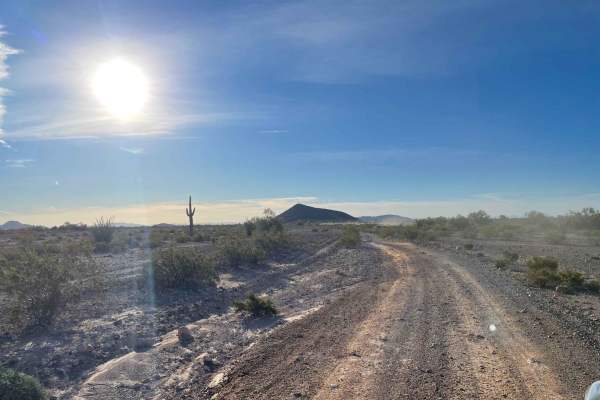
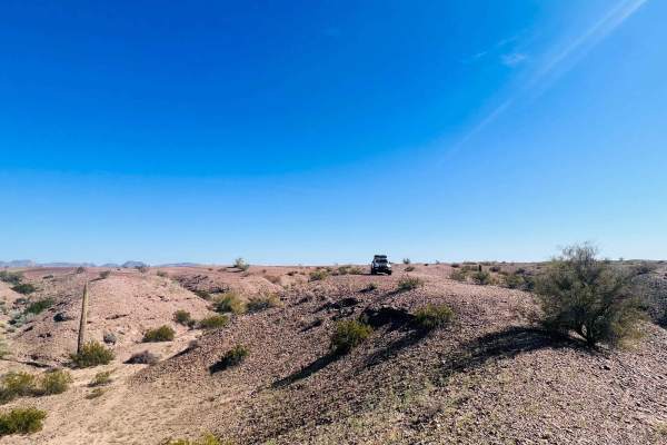
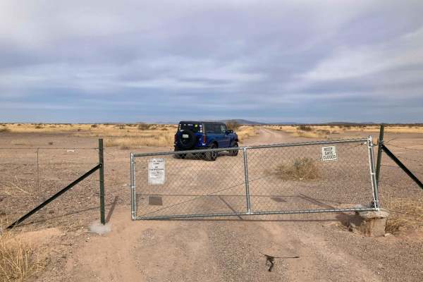
This mostly easy out-and-back trail leads to a beautiful Archaeological site that is also a point of critical environmental concern. Plenty of informational kiosks in the area explain why this petroglyph site is important and needs preservation. The trail passes through private and public lands; please be aware of your dust. Some sections will be impassable when wet and should not even be attempted during or after a storm. The soil in these areas is exceptionally delicate and becomes slick deep mud. These scars can last a long time. There are a few fire rings and campsites along the way. Just be sure who owns the land you are on, and be alert for closed area signage. Once at the site, park your car and head to the hills on foot. The black faces of the rocks near the top are where you will find them, and there are many to explore once you arrive. Please do not touch the petroglyphs as they are fragile, and please only take photographs. There are two bars of weak Verizon's LTE out here. Be aware this is also a border crossing area. Stay alert while you explore out here, and report any suspicious behavior to homeland security.

Photos of Sears Point

Difficulty

Do not attempt this trail during or just after a storm.

Technical Rating

3

Status Reports

Add Status Report
Mike Eisenbraun
Dec 26, 2024
Open
Packed dirt and sand trail with a few shallow ruts. Driven in 2WD with high tire pressure. Encountered several non-4WD, non-high clearance vehicles at Sears Point trailhead parking area that had made the drive easily.
Stan VanKleeck
May 16, 2024
Open
As of 5/16/24 road mostly good, 2 places partially washed out, but passable. Definitely not passable when wet, destination is the former Gila River bed (think deep greasy mud). Ironwood trees in good bloom- pretty. definitely get early start this time of year, at 12 noon was 103F (40C)! Lots of petroglyphs to see, easier if you have your binoculars to scan rock cliffs from bottom. Spotted all 3 types.
Darren Springer
Feb 20, 2024
Open
sensitive area. petroglyphs.

Sears Point Trail can be accessed by the following ride types:

  • Single Track
  • 50 Inch
  • 60 Inch
  • High Clearance
  • Full Width

Sears Point Map

The onX Offroad Difference

onX Offroad combines trail photos, descriptions, difficulty ratings, width restrictions, seasonality, and more in a user-friendly interface. Available on all devices, with offline access and full compatibility with CarPlay and Android Auto. Discover what you're missing today!

Open Trail Map