Trail Overview
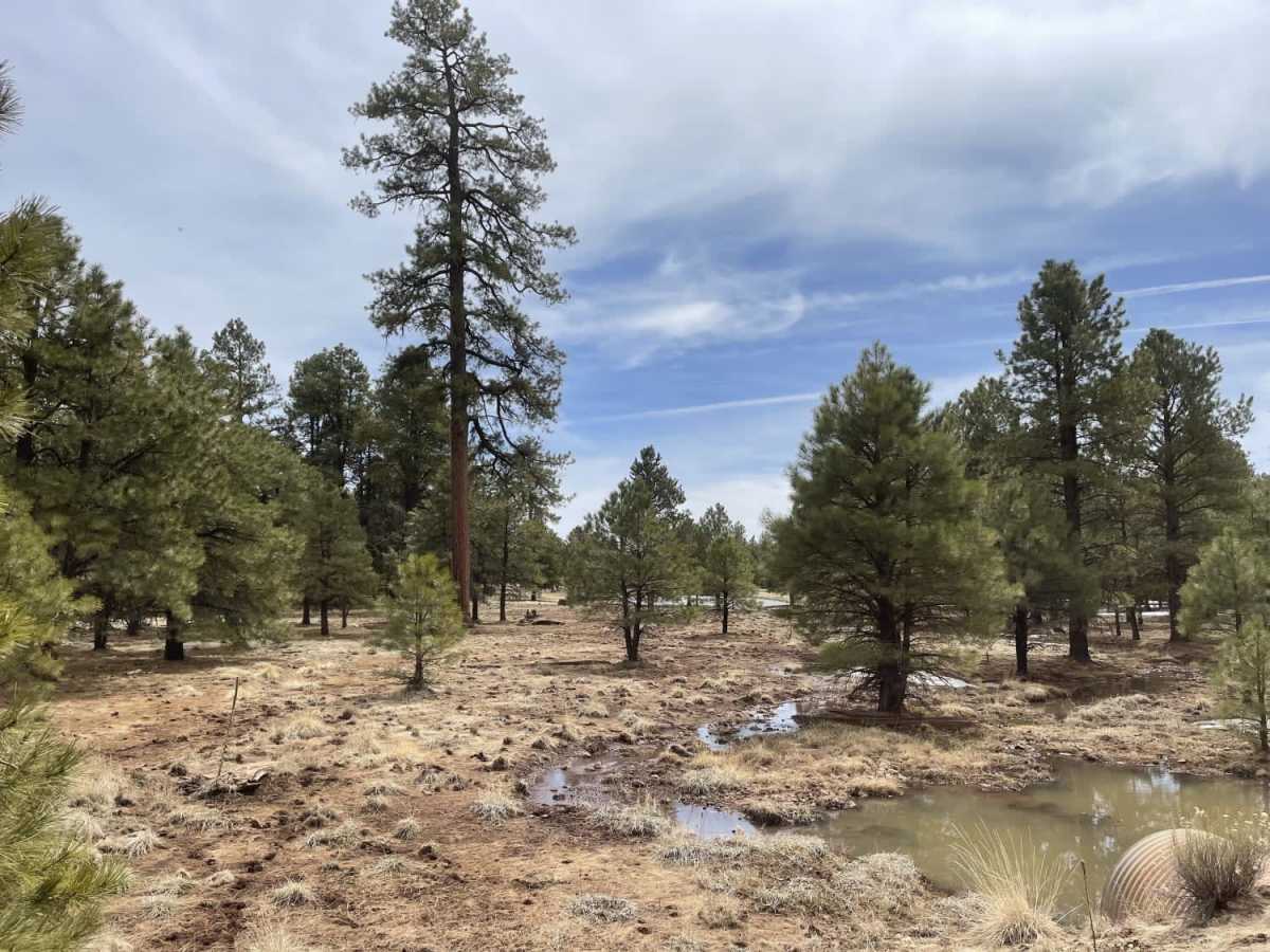
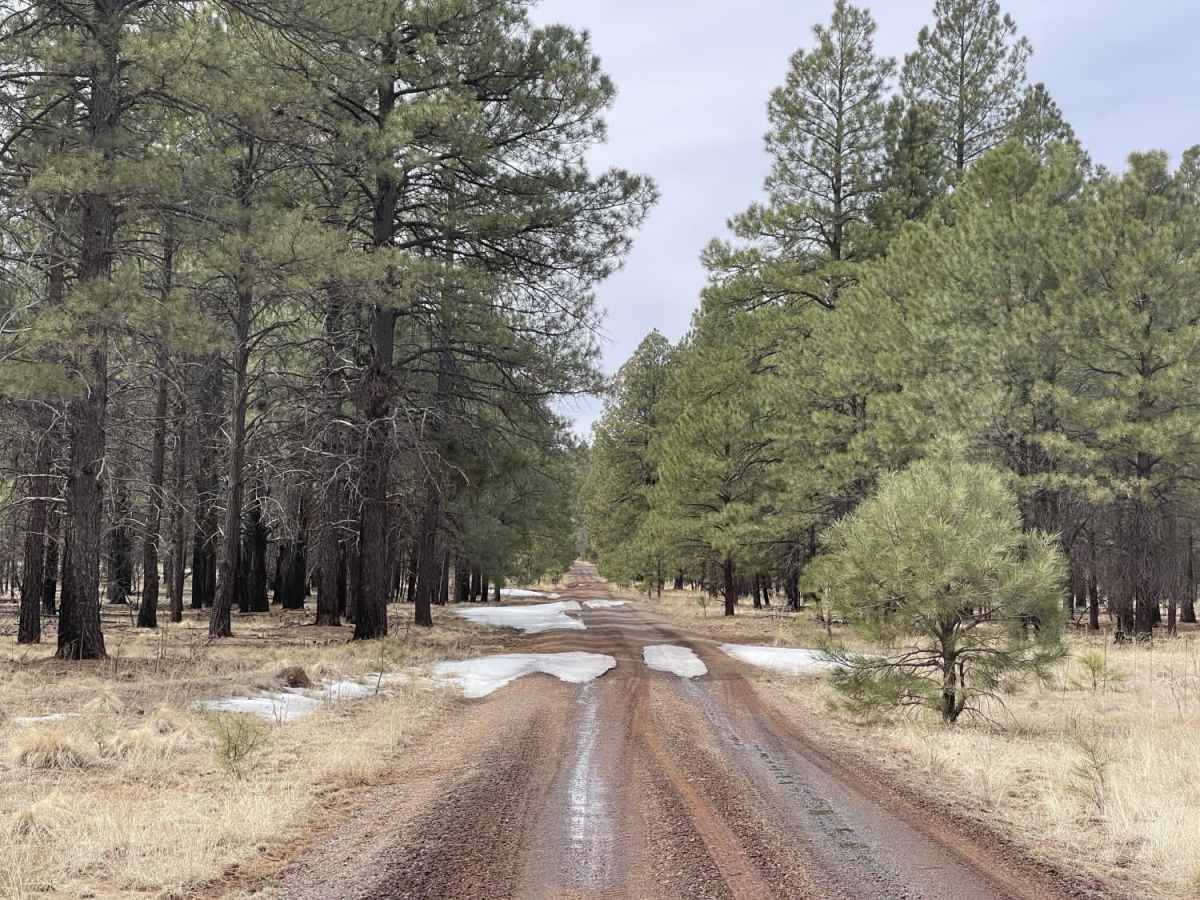
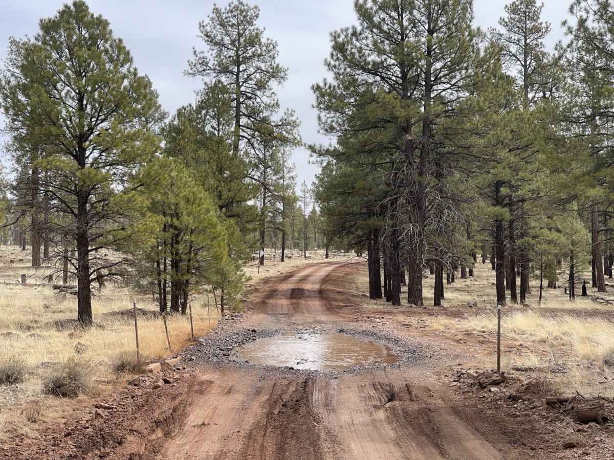
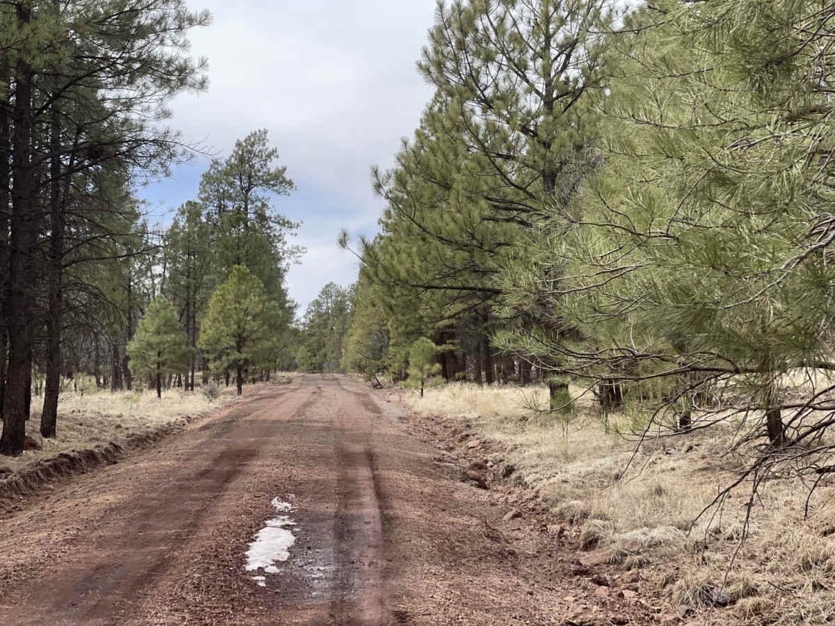
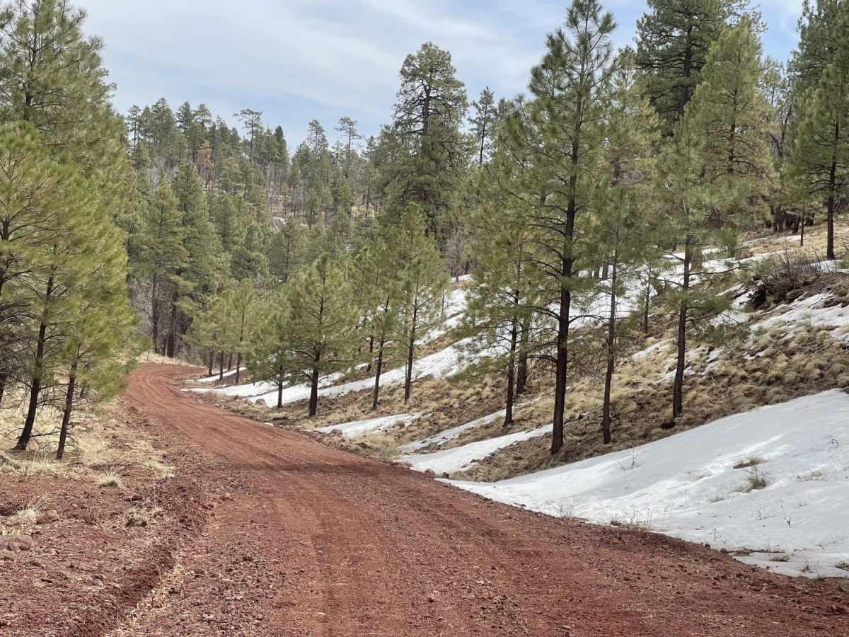
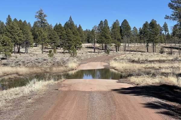
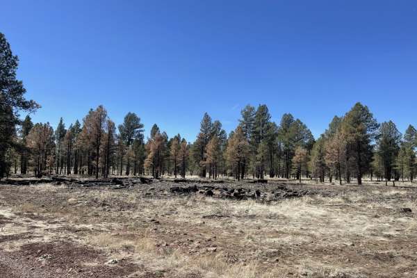
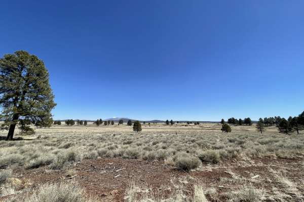
Rosilda Springs Trail is an easy, scenic 7.3-mile route ideal for beginners, families, and those seeking a relaxed cruise with plenty of dispersed camping options in northern Arizona. With a technical rating of 2 out of 10, the trail climbs modestly from 6,673 feet to a peak of 7,160 feet, offering a gentle route that is highly accessible for most stock high-clearance four-wheel-drive vehicles, SxSs, and dirt bikes. While no actual springs are found directly along the trail, the route traverses a gorgeous forested landscape with views of prominent nearby peaks like Hyde Hill, Barney Knoll, and Aspen Hill. The terrain is primarily unpaved, consisting of a well-graded dirt surface that can occasionally feature rutted sections, particularly after wet weather.
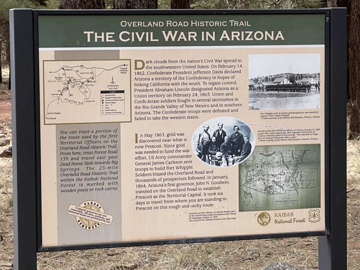
The trail serves as an excellent gateway to the historic Overland Road Trail #113, featuring informational kiosks and dedicated staging areas where visitors can park to hike or explore the area's rich history. Cell service remains relatively strong, with about two bars of LTE coverage available throughout the route, though travelers should plan ahead as there is no winter maintenance on this road. Dispersed campsites are abundant along the corridor, with several large sites spacious enough to accommodate big rigs and group base camps. Located in the Kaibab National Forest, this route provides convenient access to broader recreational activities, making it a perfect starting point or a peaceful scenic bypass for offroaders of all skill levels.
History
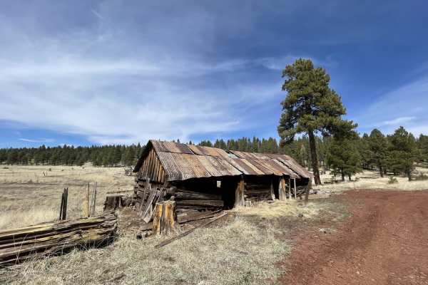
This route follows a portion of the historic Overland Road (Trail #113), a pioneer-era corridor in northern Arizona. The area features historical remnants, including old homesteads on Garland Prairie, historic railroad beds, abandoned logging camps near Pomeroy Tanks, a Depression-era Civilian Conservation Corps (CCC) camp, and the Bear Springs Sheep Driveway.