Trail Overview
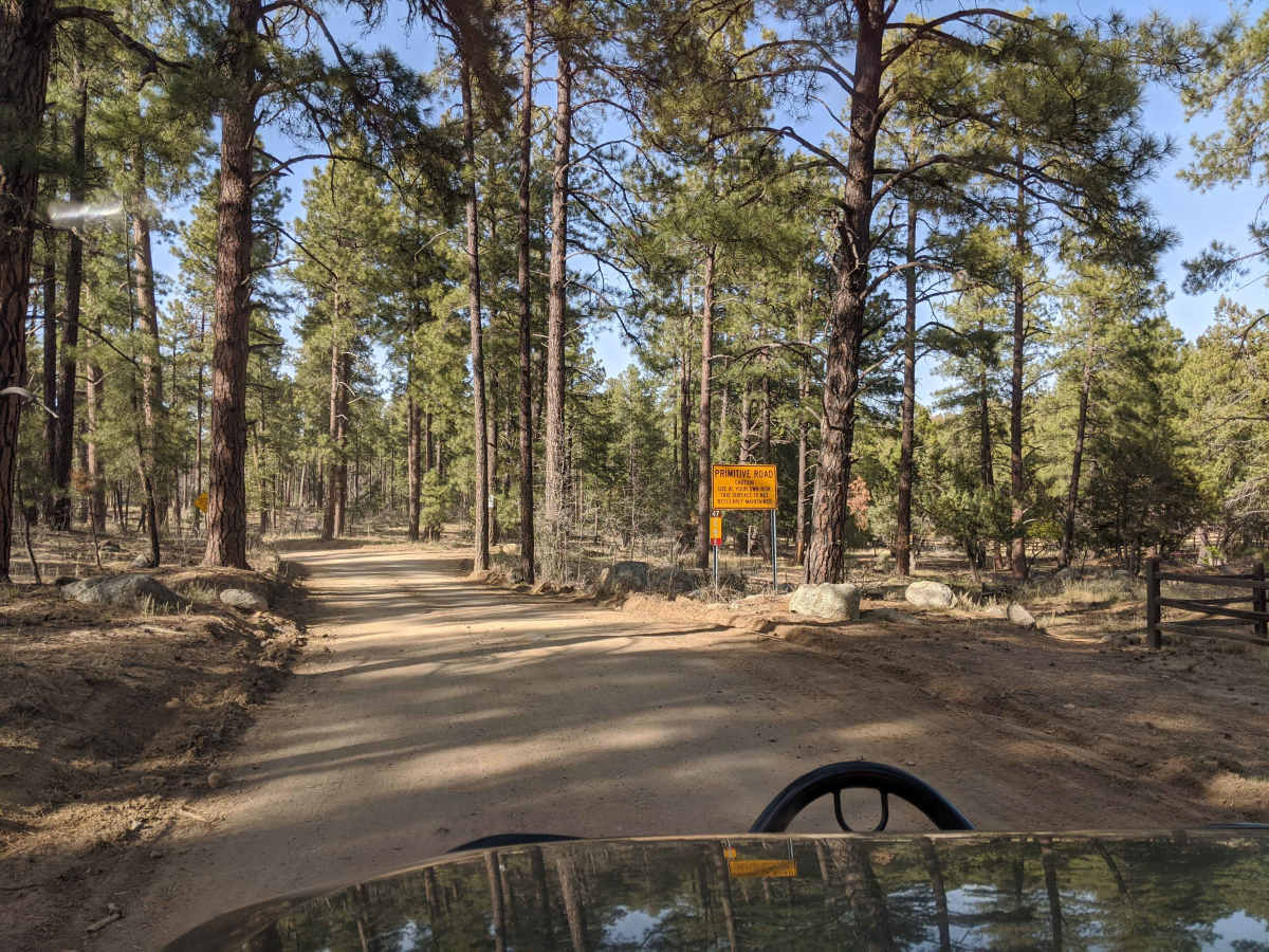
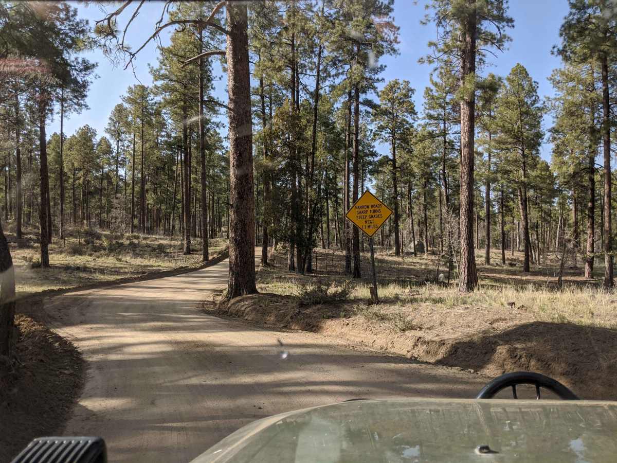
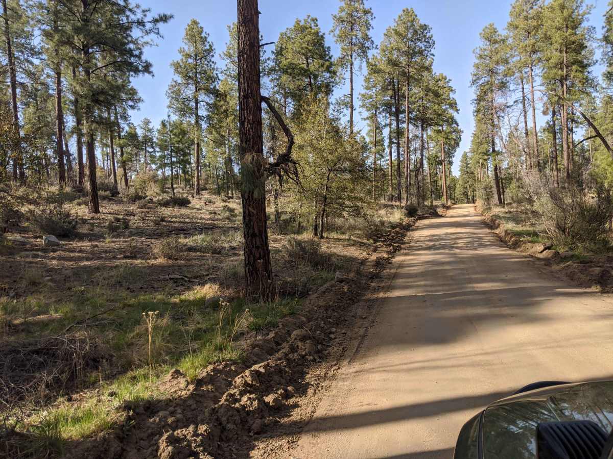
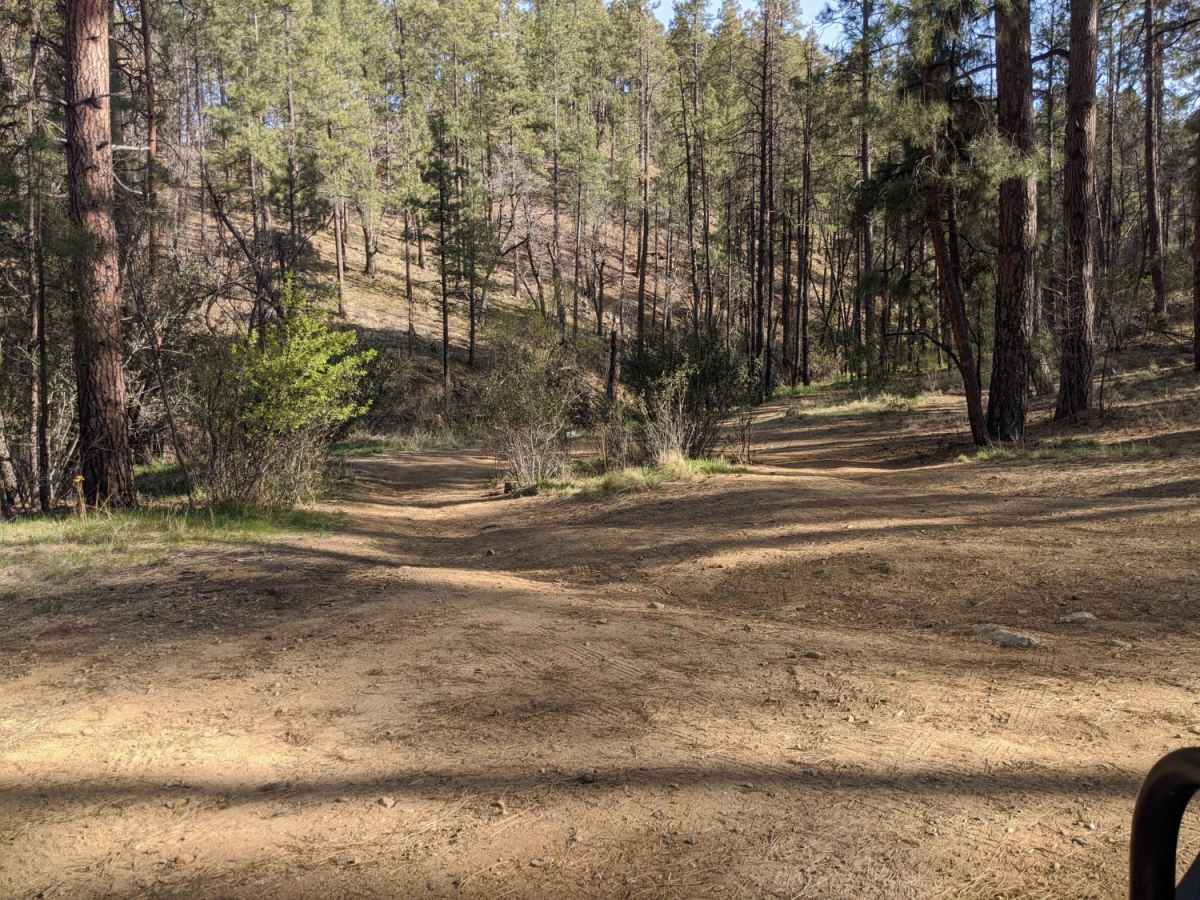
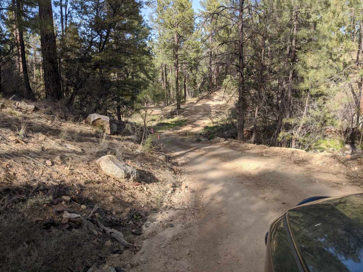
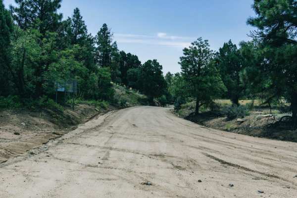
Road 000047 is an easy, scenic connector route near Prescott, Arizona, perfect for beginners and those looking for quick access to outdoor recreation in the Prescott National Forest. Spanning approximately 1.5 miles, this unpaved, one-to-two-car-width road runs between the Deering Park Estates residential area and the Thumb Butte Loop, offering a straightforward drive with minimal elevation change. The route sits at an elevation of around 6,000 feet, featuring gentle slopes and a technical rating of 1, making it accessible to virtually any standard passenger vehicle or high-clearance SUV. As you navigate the winding dirt track, you will be treated to views of the surrounding pine forest and nearby peaks, including Porter Mountain and West Spruce Mountain rising to the west.
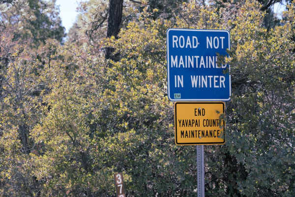
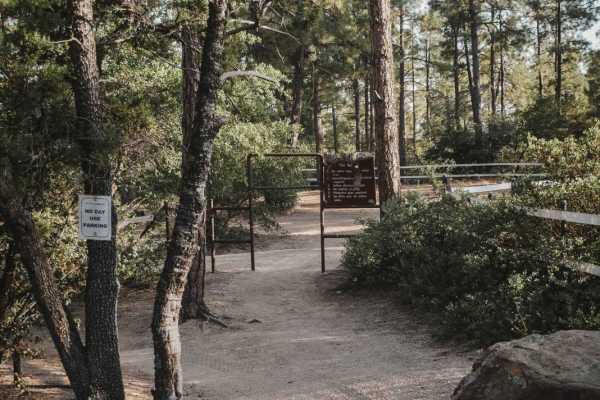
This route serves as a gateway to numerous recreational opportunities, providing direct access to local hiking, mountain biking, and horseback riding trails in the Thumb Butte area. Because portions of the road cross near private residences, drivers must keep speeds low and remain highly respectful of local residents along this busy corridor. The road is typically unmaintained during the winter months. Camping is strictly prohibited along this stretch of road, so visitors should plan to use designated campgrounds or dispersed camping areas deeper within the national forest.
Access Description
This road is typically unmaintained during the winter months, and winter weather conditions can make travel difficult. Because the road runs through a busy residential area and is only one to two cars wide, drivers are required to travel slowly and show respect to local homeowners. Cellphone reception is spotty along the entire route. Dispersed camping is prohibited along this road.

 Offroad