Trail Overview
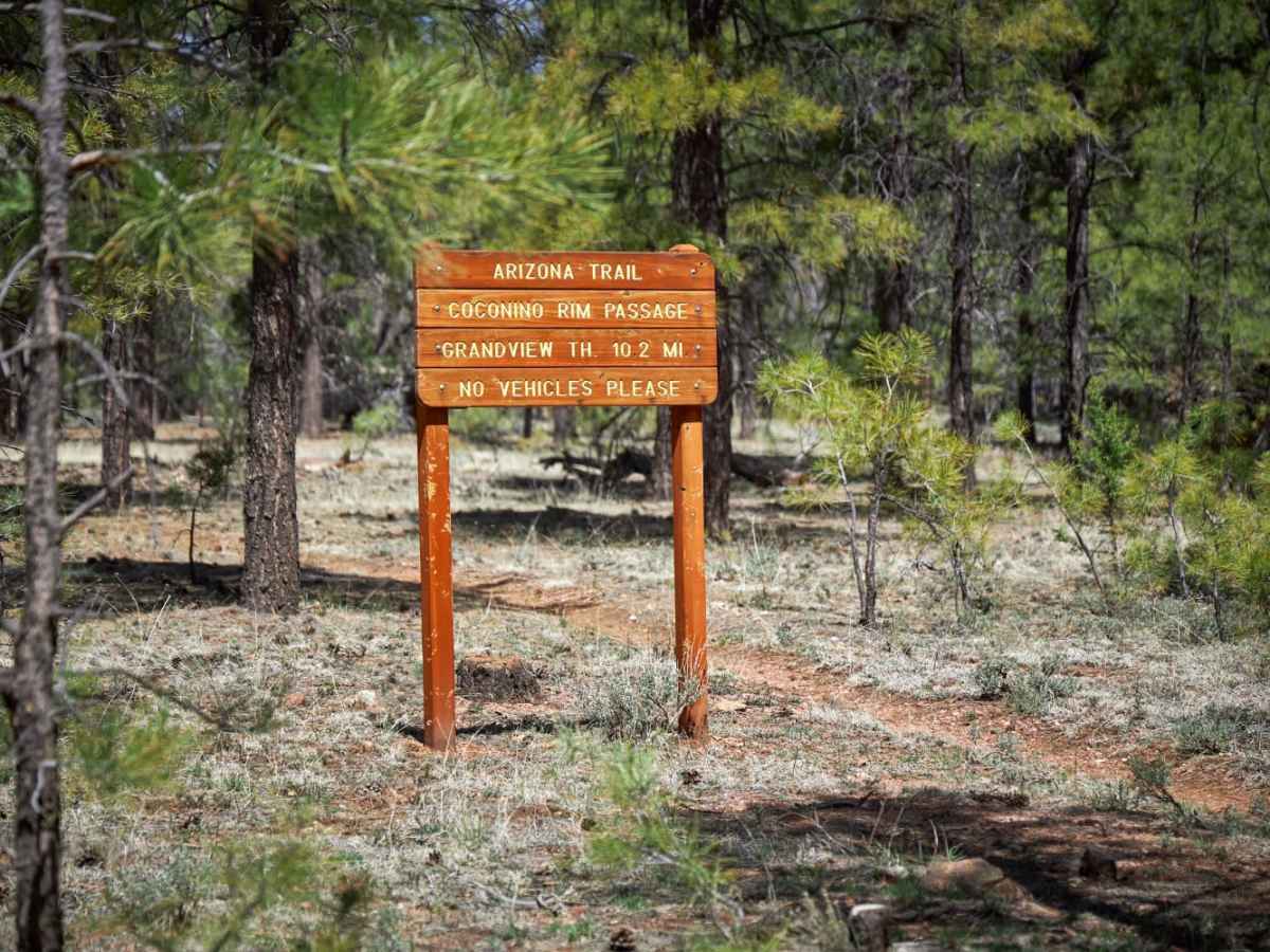
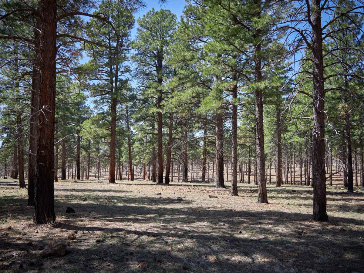
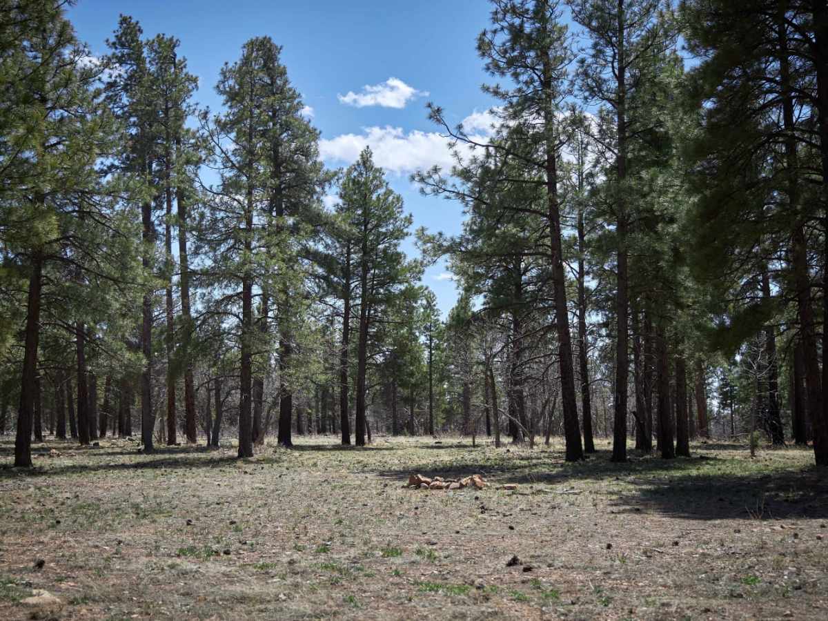
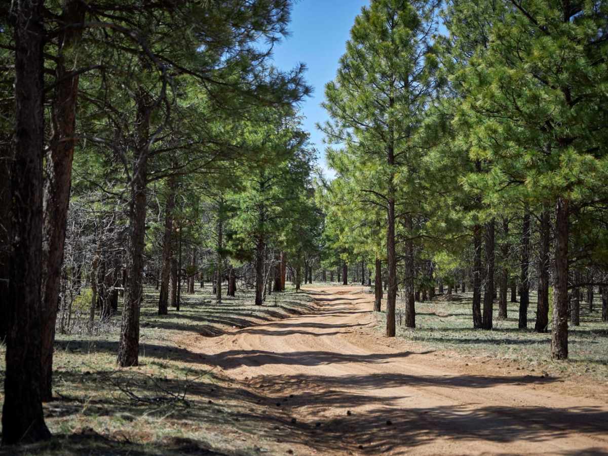
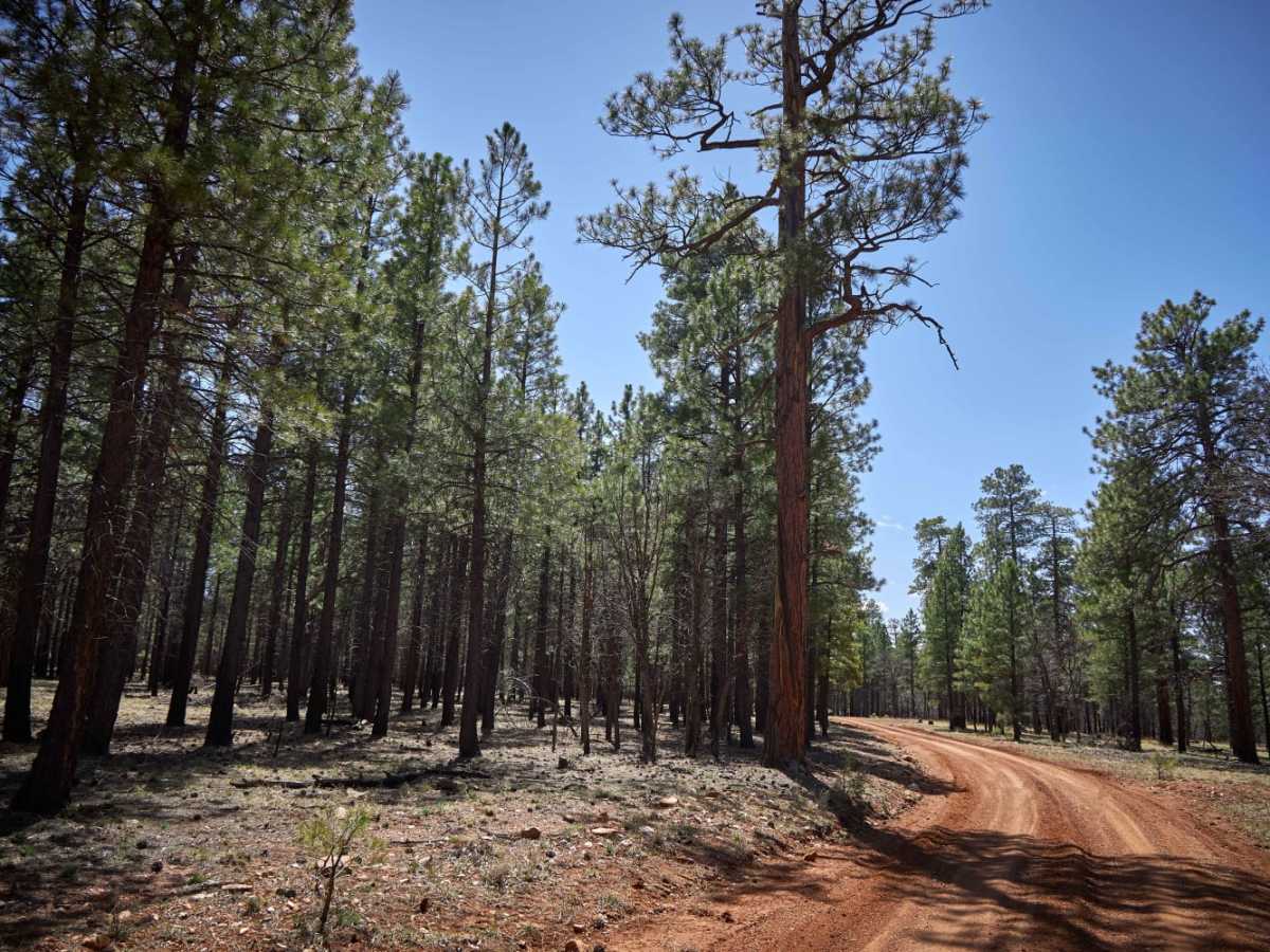
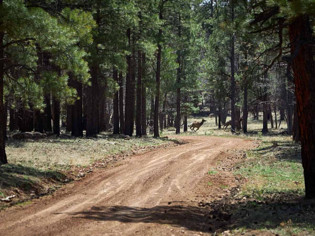
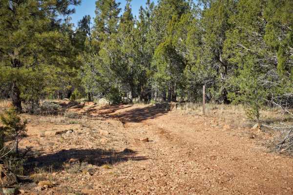
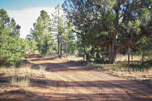
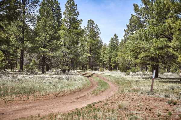
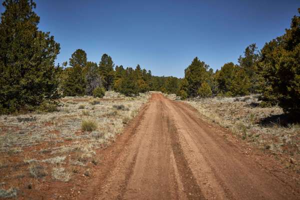
Rim Trail Road is an easy, scenic forest route ideal for offroaders seeking a relaxed drive through the Kaibab National Forest and abundant primitive camping options near the Grand Canyon's South Rim. Stretching approximately 10.5 miles through a rolling Ponderosa Pine forest, this trail features scenic meadows and open areas where travelers can spot deer, wild horses, elk, and grazing cattle. With a maximum elevation of nearly 7,500 feet and a gentle cumulative elevation gain of around 613 feet, the 1.5- to 2-lane wide path offers a straightforward cruise for high-clearance vehicles, four-wheel-drive rigs, and SxSs. The primarily packed-dirt surface is well-suited for beginners and larger setups, including 5th-wheel trailers, which can comfortably fit into many of the spacious primitive campsites complete with man-made rock fire rings along the route.
While the trail maintains a low difficulty rating under dry conditions, the local monsoon season can quickly transform the hard-packed dirt into deep mud and challenging ruts, requiring caution and capable traction. Access to the trail begins at the intersection of Hull Cabin Road (Forest Road 302) out of Tusayan, Arizona, and winds eastward to the boundary of the Navajo Nation reservation. Travelers should plan their route carefully, as the trail's eastern extension crosses onto reservation land before reconnecting with Highway 64. For a complete loop, offroaders can take Boundary Old 320 East from Highway 64, travel north for two miles at the eastern terminus, and turn west onto Rim Trail Road to fully experience this peaceful forest drive.
Access Description
Before visiting, check local fire permits and restrictions, as the Kaibab National Forest is dry most of the year and highly susceptible to wildfires. Additionally, note that while the trail ends at the forest boundary, any continuation onto reservation land requires checking local access rules and permits for crossing tribal land.