Trail Overview
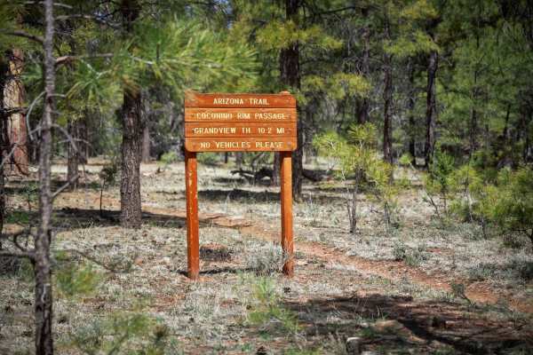
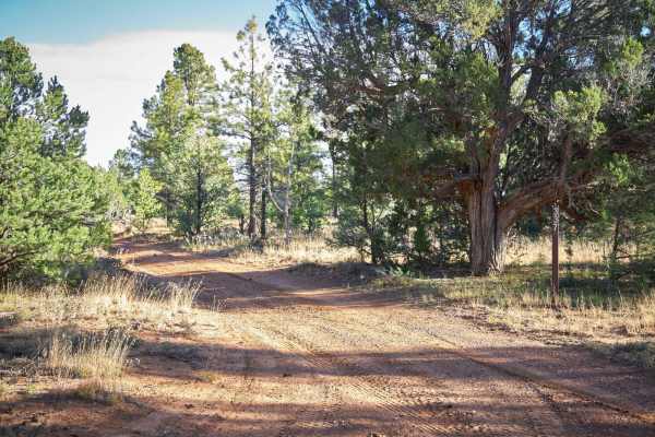
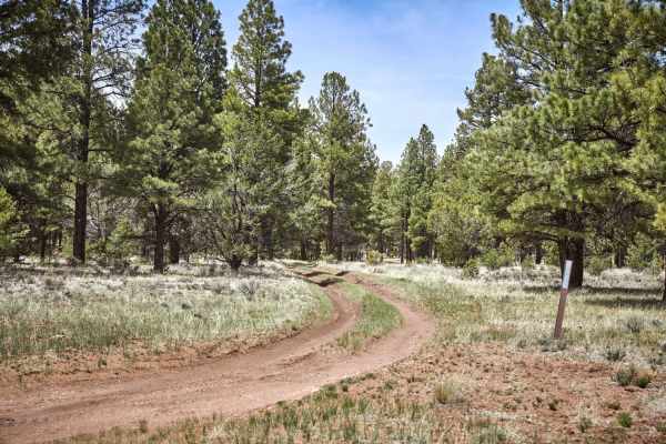
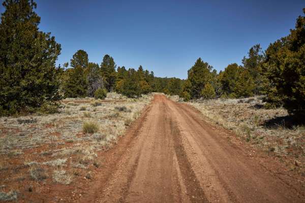
Rim Trail (Forest Service Road 310) is a 6.4-mile, single-lane dirt route traversing the Coconino Rim within Kaibab National Forest, just south of the Grand Canyon. Reaching a maximum elevation of 7,159 feet, the trail features minimal elevation change but provides views of towering pines and opportunities to spot elk and mule deer. While suitable for high-clearance four-wheel-drive vehicles when dry, the clay-heavy soil becomes slick and deeply rutted after rain or snowmelt.
The eastern section of the route gets more rugged, presenting uneven dirt, ruts, and obstacles up to 12 inches high as it nears the Navajo Nation Reservation boundary. Dispersed camping spots are plentiful on the western end, accommodating tents and overland trailers, but decrease in availability and accessibility further east. The trail is best driven from late spring through fall.
Access Description
The trail is located within the Tusayan Ranger District of the Kaibab National Forest, where no permits or fees are required for standard recreational driving or dispersed camping. However, the eastern end of the trail terminates at the Navajo Nation Reservation boundary, and crossing into tribal lands requires a permit from the Navajo Nation. High-clearance vehicles are recommended, and the road may become impassable to all vehicles during and immediately after heavy rain or winter snowfall due to deep, slick mud.