Trail Overview
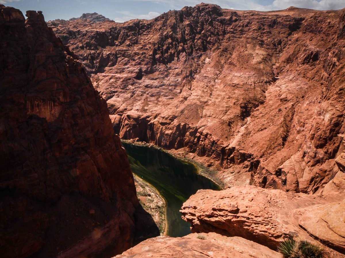
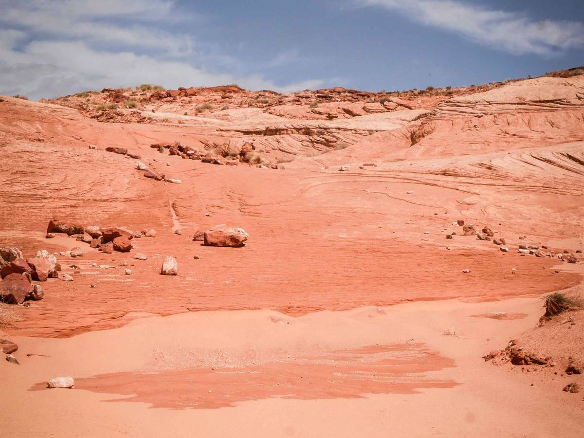
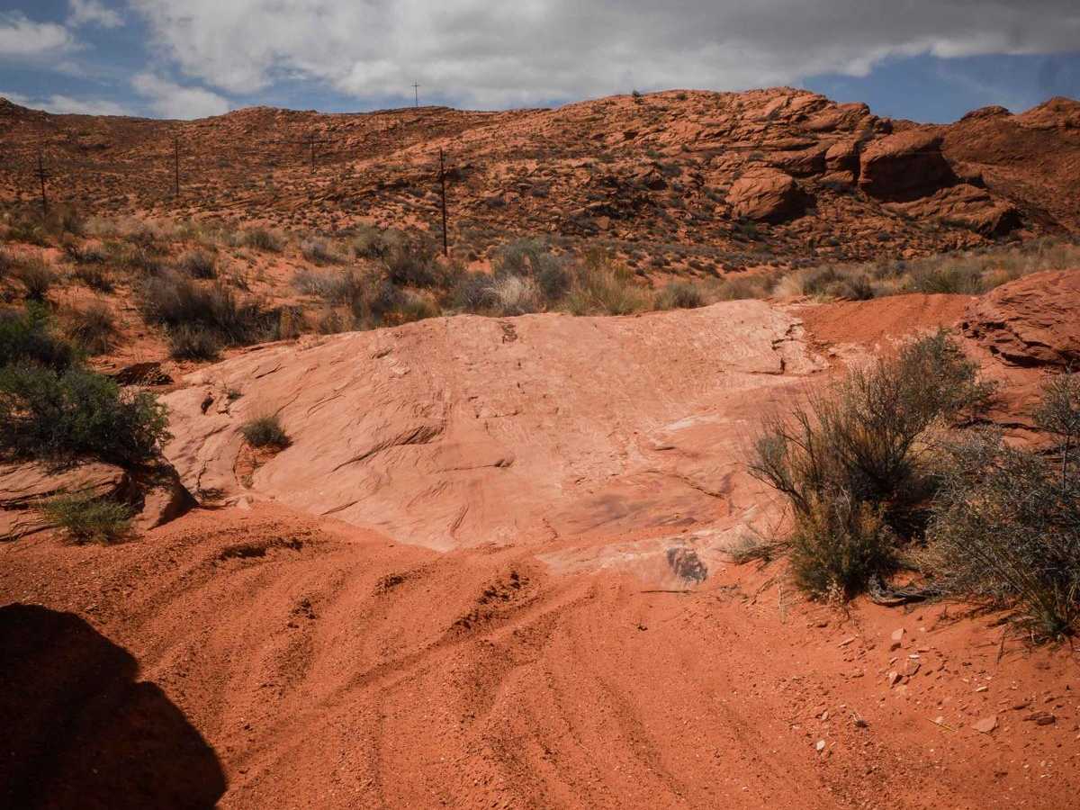
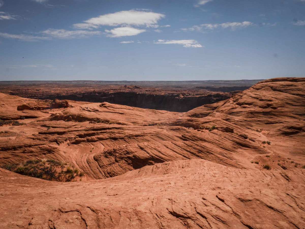
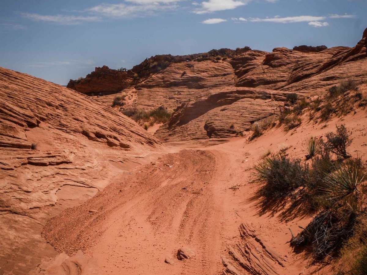
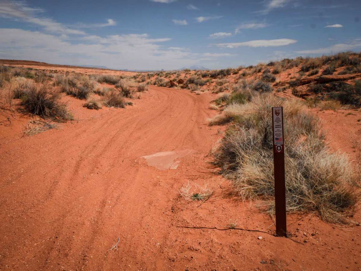
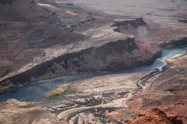
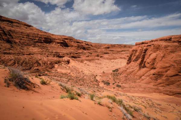
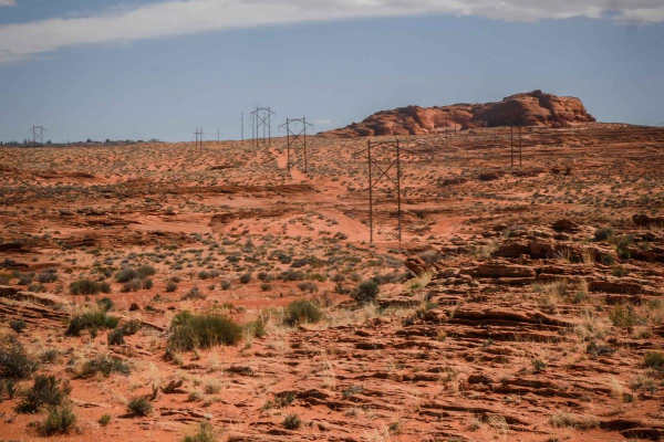
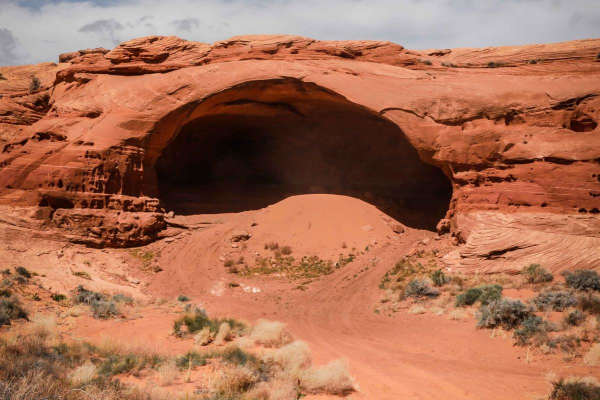
Q44 is a newer route in the Glen Canyon National Recreation Area. It starts as a sandy track off of 1043, then drops down a layer of slab rock right away. It continues through sand and dirt, with easy curves through this scenic red desert with awesome views of the rock formations. There is embedded rock in the surface of the road. After a mile, it starts to go over the slick rock that leads out to the canyon overlooking the Colorado River. It goes up and over the rock formations, and you have to look for the sections of sandy trail in between the slick rock to know where to keep going since it's not signed after this point. It's a bit hard to follow the tracks, and there is no indication where the trail ends before the edge of the canyon. The slick rock ledges get more technical and off-camber the farther you go. At some point, you can just park and walk out the rest of the way to get the view over the river. This trail is in the Ferry Swale area of the Glen Canyon National Recreation Area. As of April 2024, a permit system for ORV routes within Glen Canyon National Recreation Area is being developed, and ORV permits will be required in the future. Since this trail is in the Glen Canyon National Recreation Area, it's designated as open to conventional vehicles, OHVs, and street-legal ATVs/dirt bikes.
Difficulty
This is an intermediate road with moderate slick rock ledges and sand. It's a bit unclear where the trail ends before the viewpoint, but the difficulty gets harder the farther you go towards the canyon overlook. You can park and walk a very short distance to view the canyon if it gets too difficult.