Trail Overview
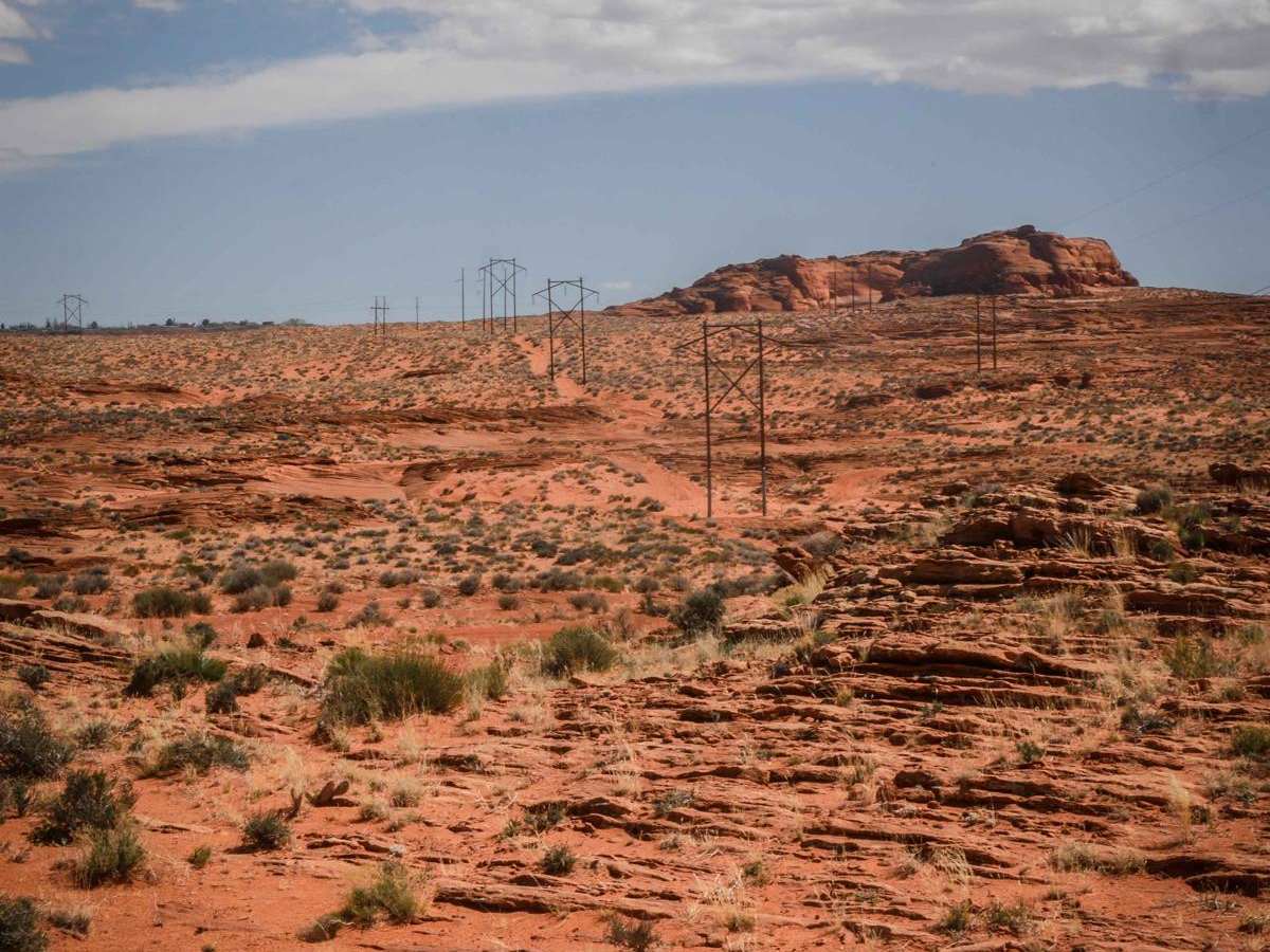
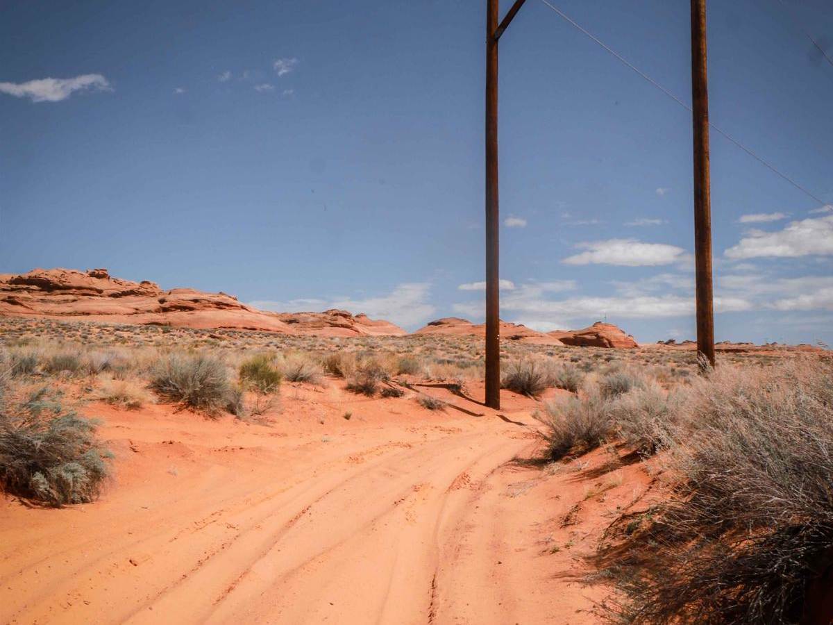
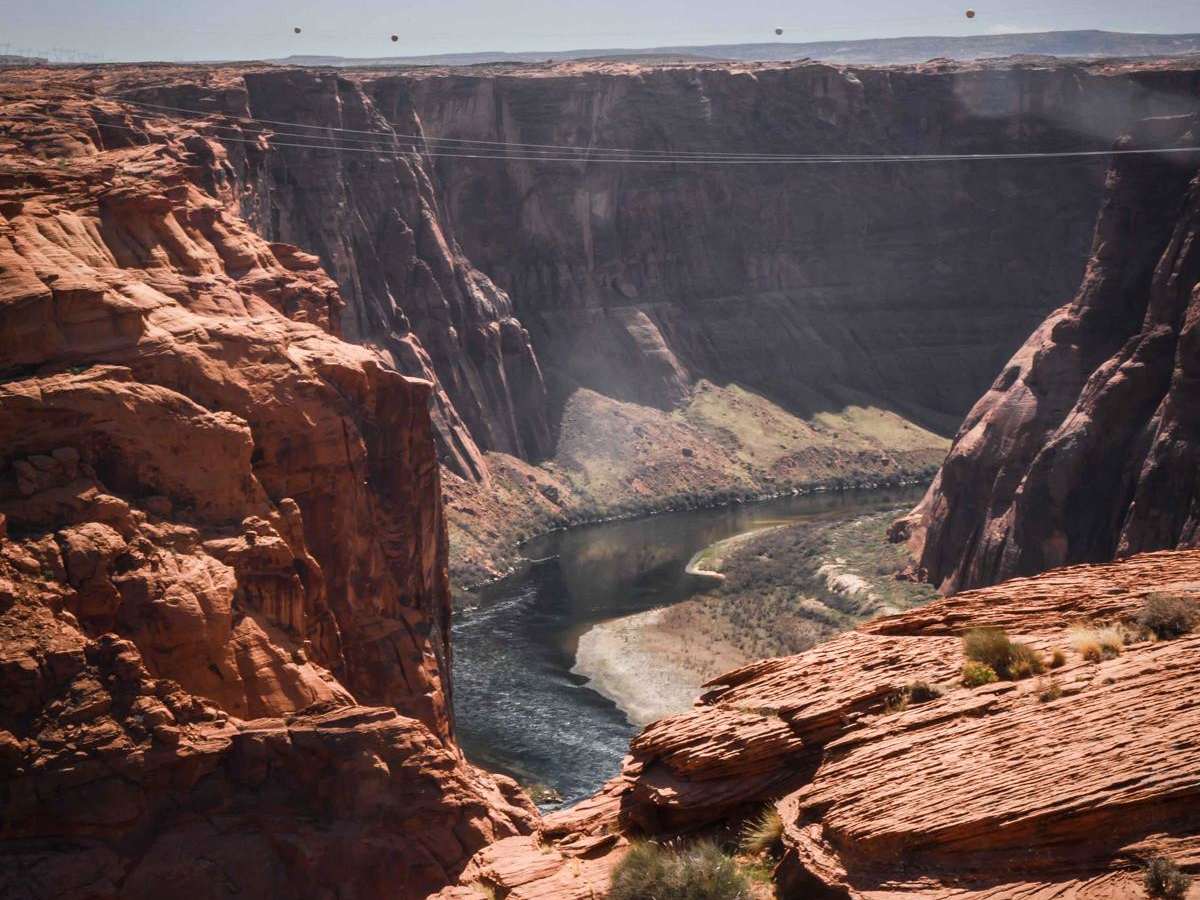
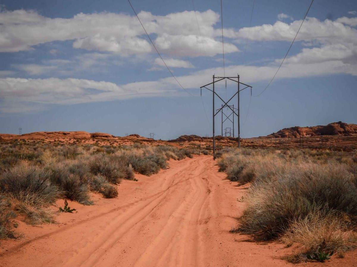
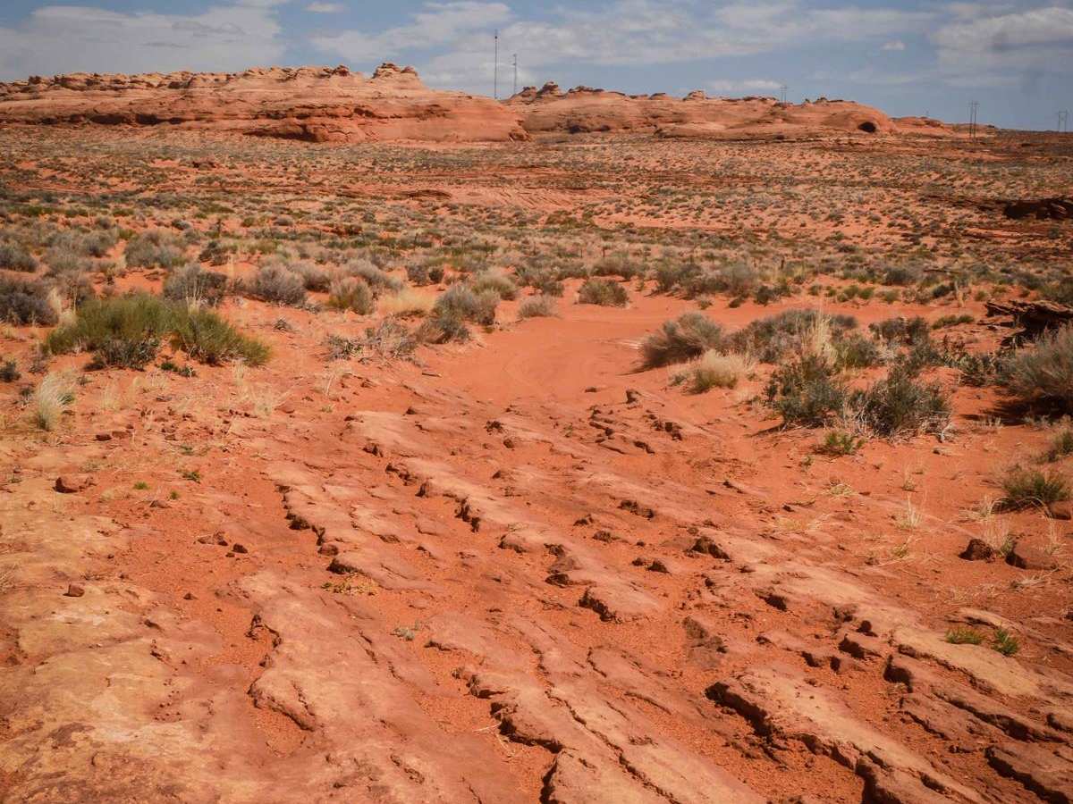
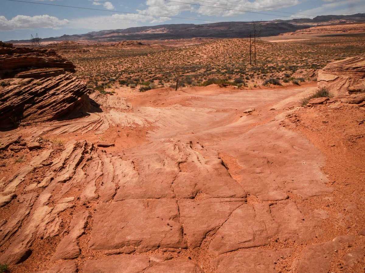
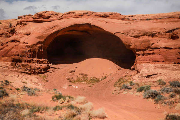
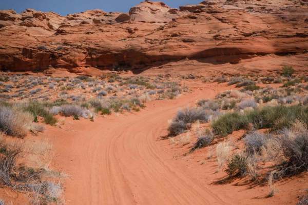
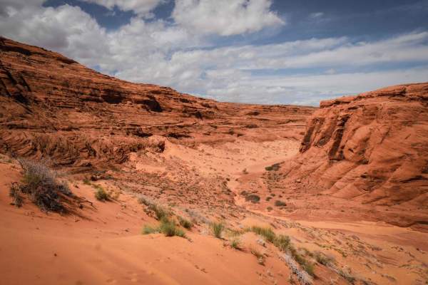
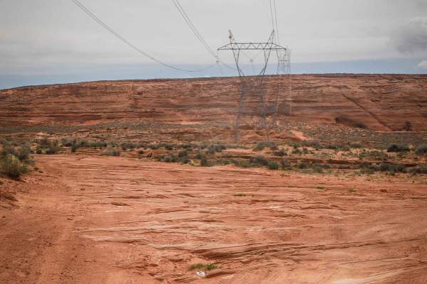
The Powerline ORV Loop is a newly developed route in the Ferry Swale area of Glen Canyon National Recreation Area. It's mostly a wide sandy road under the powerlines, with two spurs out to viewpoints over the Colorado River. It goes up some small slab rock ledges and has lots of layers of slab rock mixed in with the sand. It goes over a cattle grate with lots of intersections. It's well-signed with frequent trail markers indicating which trail to take since this is a new network of ORV routes in the National Recreation Area. It does turn south away from the powerlines at one point when it intersects with the BG Cave ORV Route. It keeps going over sand and rock slab, with ledges up to a foot high. When going clockwise, the first spur goes out towards the canyon and ends when the sand stops at the sandstone;there, you can walk out to the viewpoint over the river. The second spur goes past the powerline out a bit further to the edge, with a few more rock ledges down, but you can also park and walk to the edge as it becomes harder to follow the track after the sand ends at the powerline. The rest of the ORV route continues to make a clockwise loop back to the powerlines, going over several more sections of slick rock. Note that this trail is in the Ferry Swale area of the Glen Canyon National Recreation Area. As of April 2024, a permit system for ORV routes within Glen Canyon National Recreation Area is being developed, and ORV permits will be required in the future. Since this trail is in the Glen Canyon National Recreation Area, it's designated as open to conventional vehicles, OHVs, and street-legal ATVs/dirt bikes.