Pe1089

Total Miles2.9
Technical Rating
4Moderate
Best TimeSpring, Fall, Winter, Summer
Trail TypeFull-Width Road
Accessible By
Open Trail Map

Trail Overview

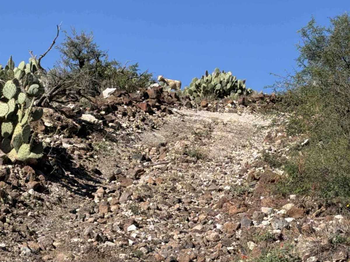
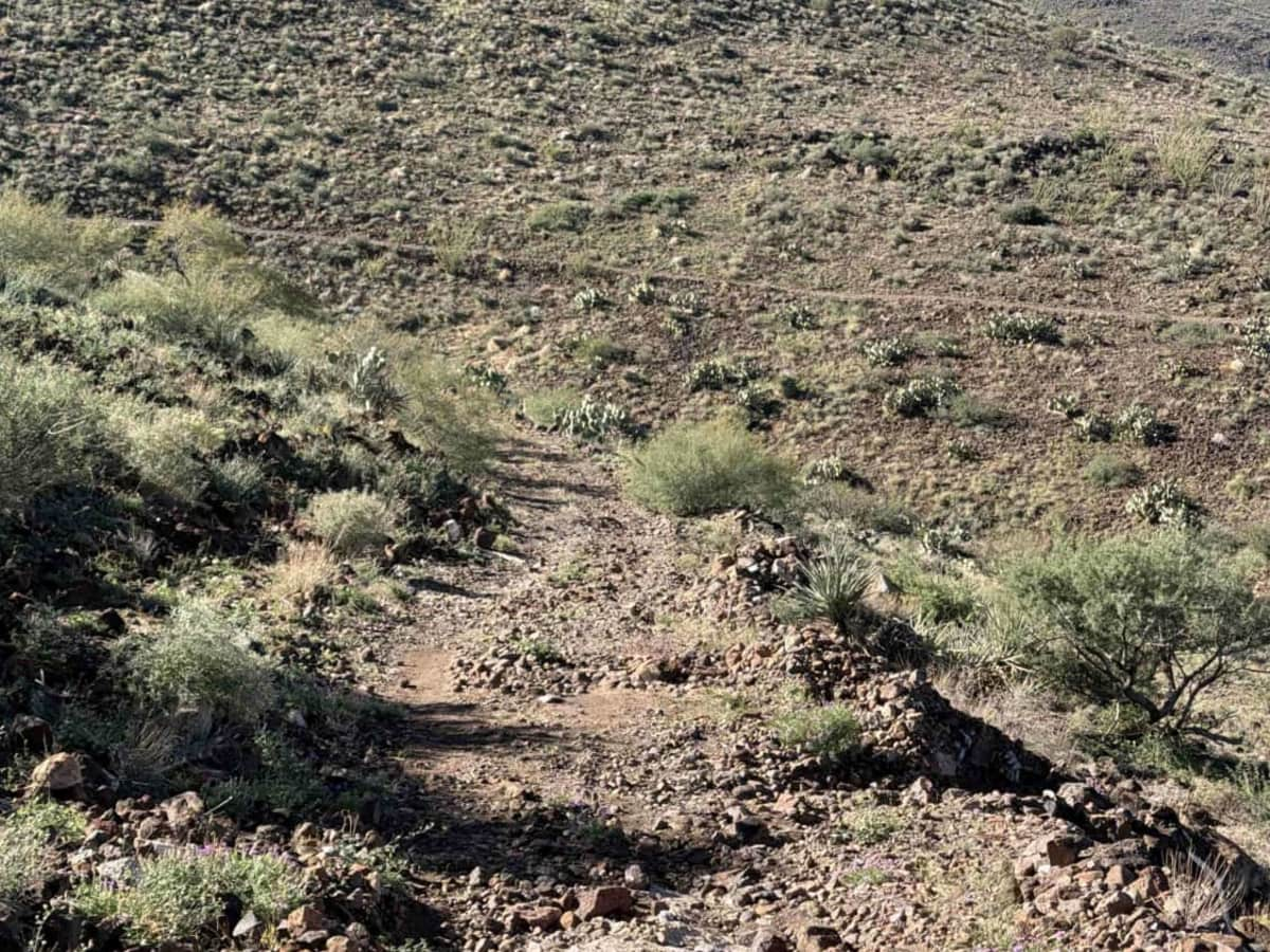
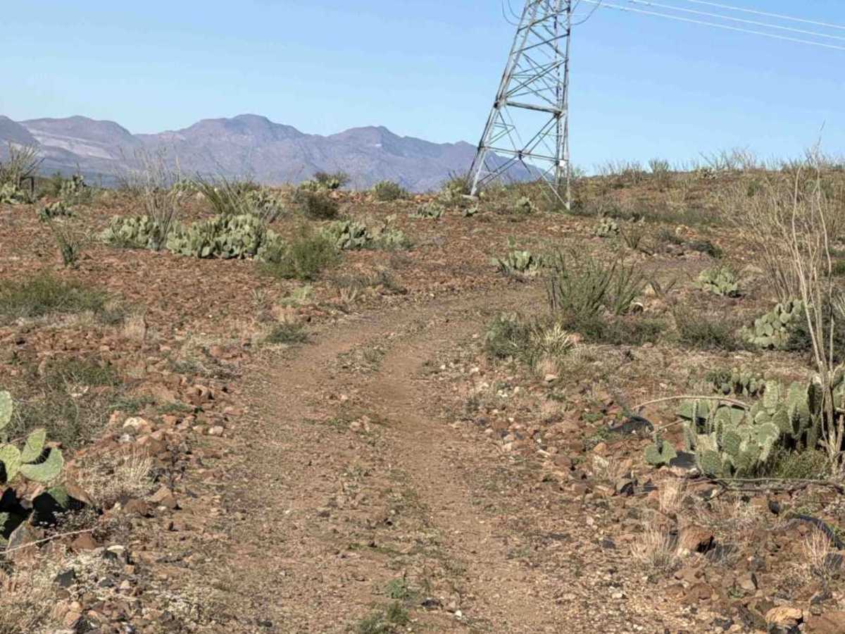
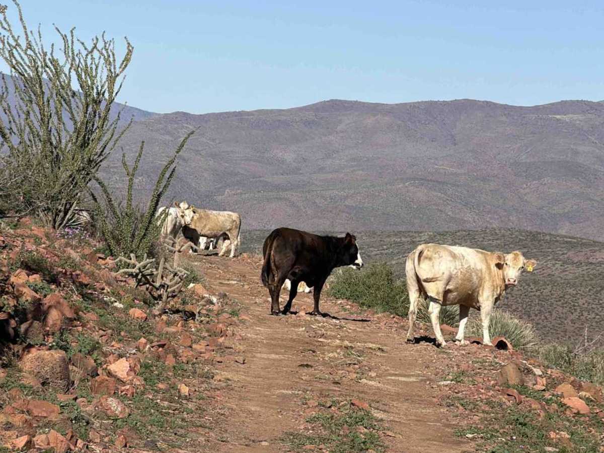
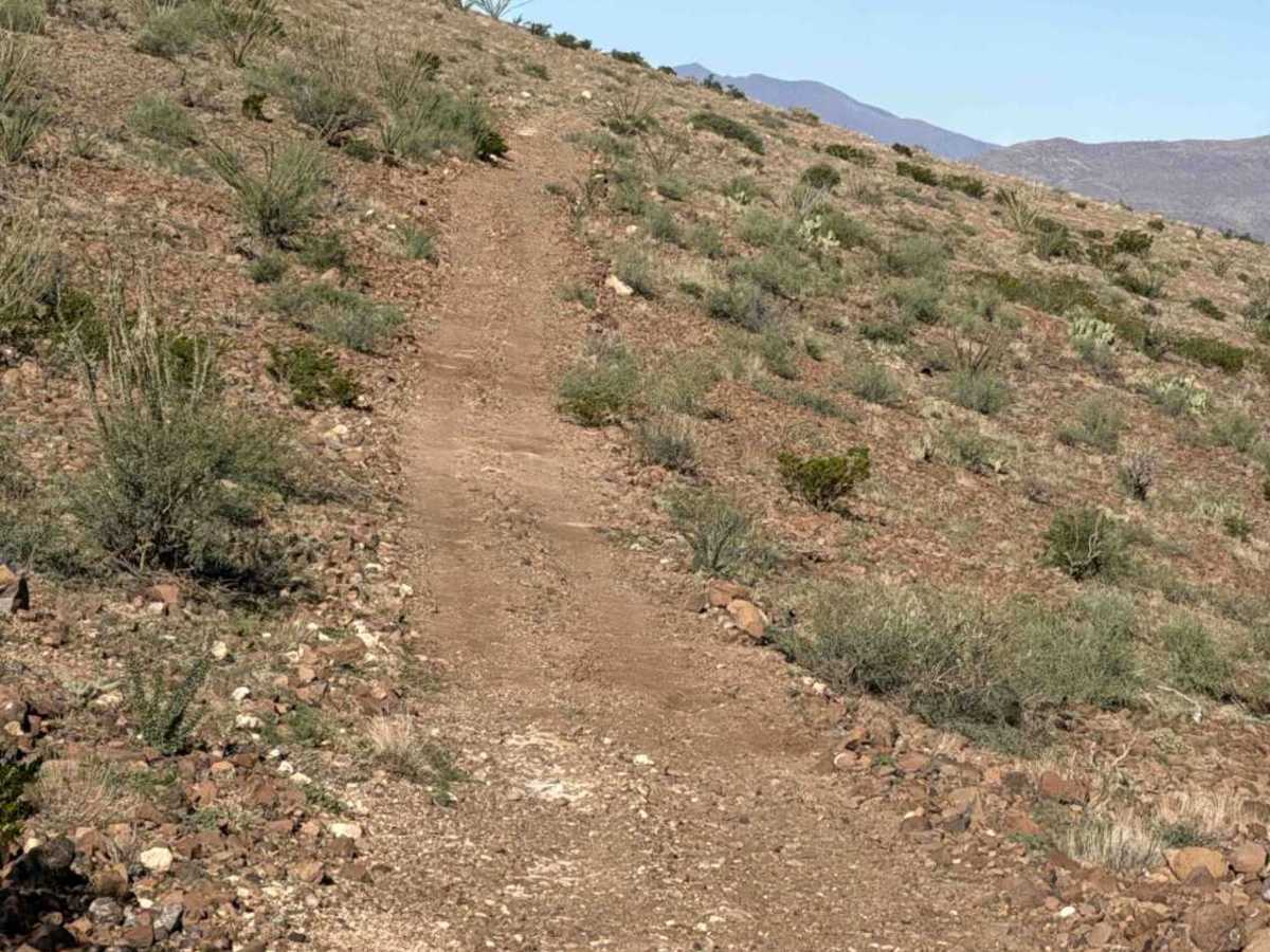
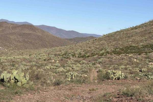
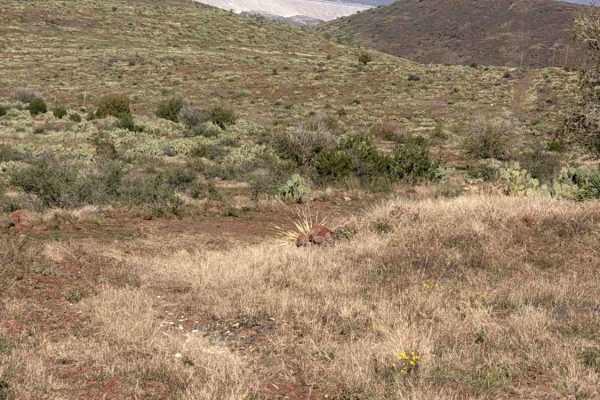
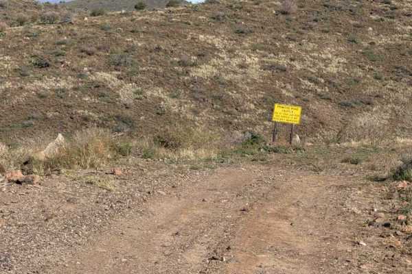
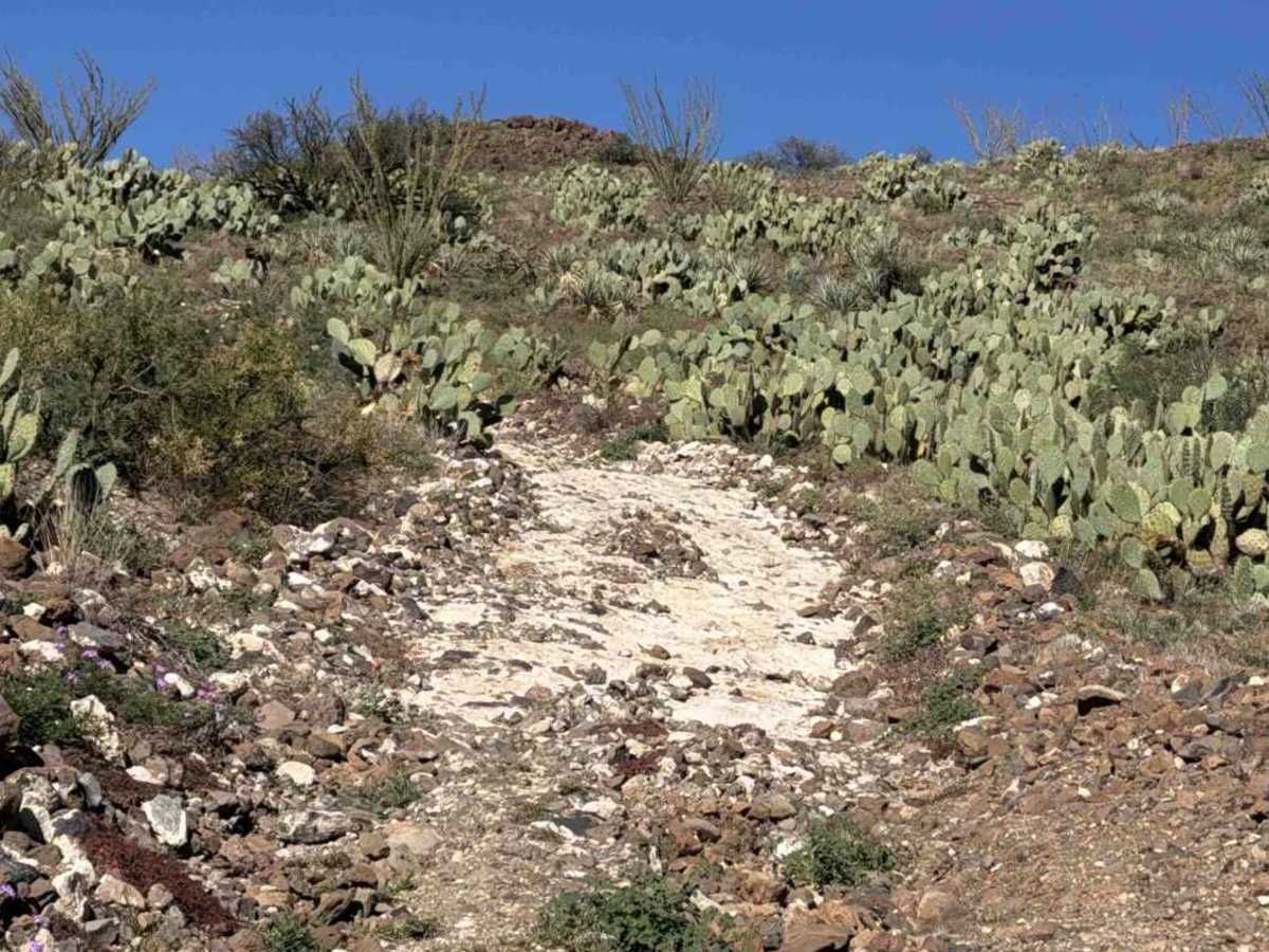
Pe1089 starts at the intersection of Pe1092. From this intersection, it is an incredibly steep climb over lots of loose rocks with big water washouts. 4WD and low lockers are recommended to climb up. It is a steep, long climb. At the top, you reach a tank and beautiful views of the valley to the west. The trail continues left around the tank, climbs down gradually, and transitions at the S-curve to the right onto the ridge of the next hill. Then you will reach a plateau where there is a power pole; continue NW; the trail becomes wider but with a ledge on the north side. At the next intersection, continue right and continue across, enjoying all the views. Excellent lunch spots. The east section of the trail's hill climb makes this trail a 4; the rest is manageable in 4WDh with high clearance. No obstacles; the steep, long hill climb over loose, large rocks with washouts and water-drainage ruts makes for a technical climb.

Photos of Pe1089

Difficulty

Steep, long Hill climb on the east section of the trail required lockers and low gears. Other than that section, the trail is 4WDH and high clearance. Loose rocks 6-12”, Ledge sections, washouts, and water drainage ruts.

Technical Rating

4

Pe1089 Trail can be accessed by the following ride types:

  • Single Track
  • 50 Inch
  • 60 Inch
  • High Clearance
  • Full Width

Pe1089 Map

The onX Offroad Difference

onX Offroad combines trail photos, descriptions, difficulty ratings, width restrictions, seasonality, and more in a user-friendly interface. Available on all devices, with offline access and full compatibility with CarPlay and Android Auto. Discover what you're missing today!

Open Trail Map