Trail Overview
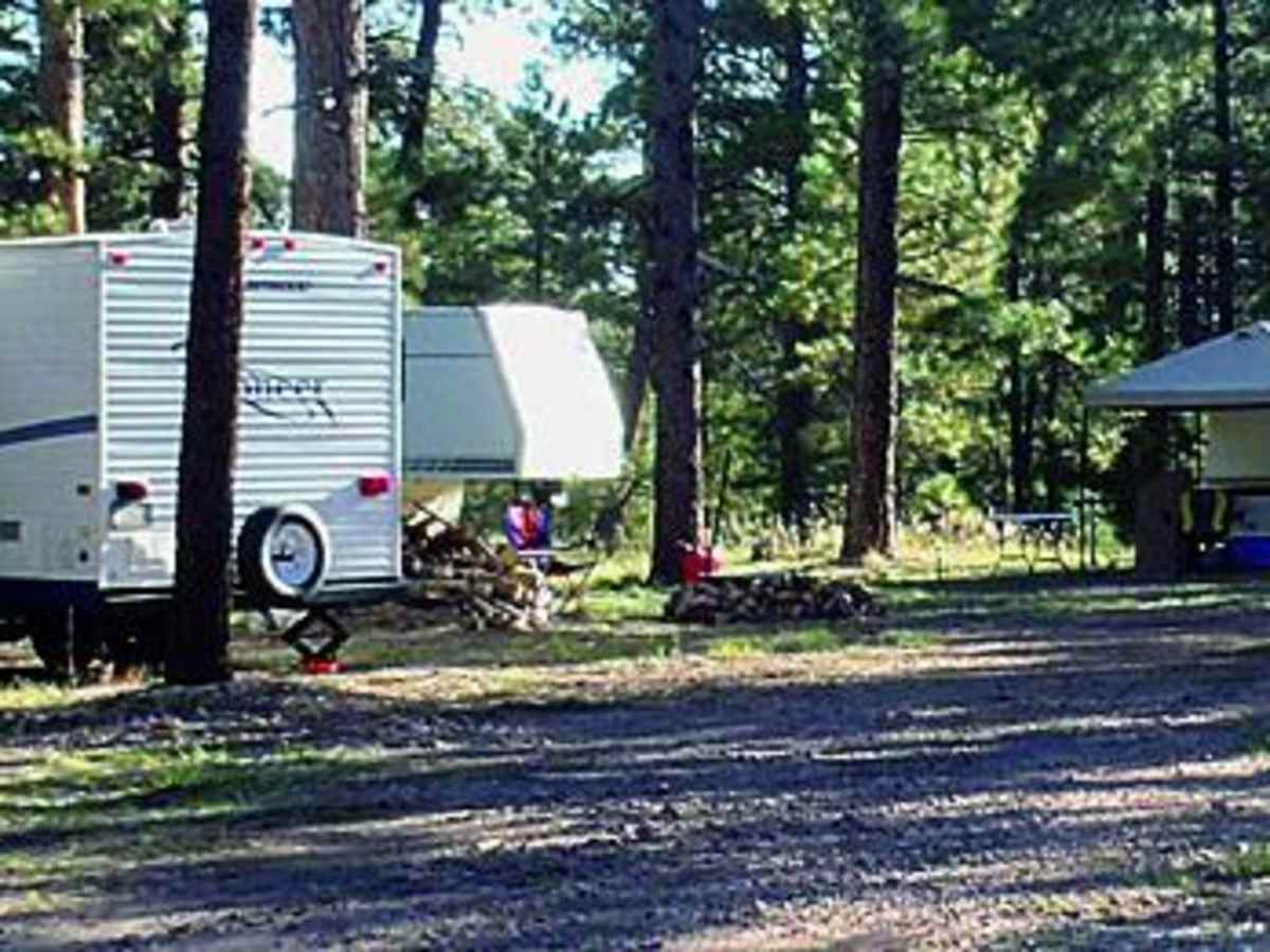
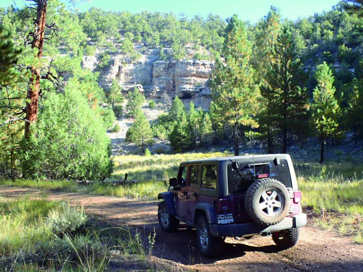
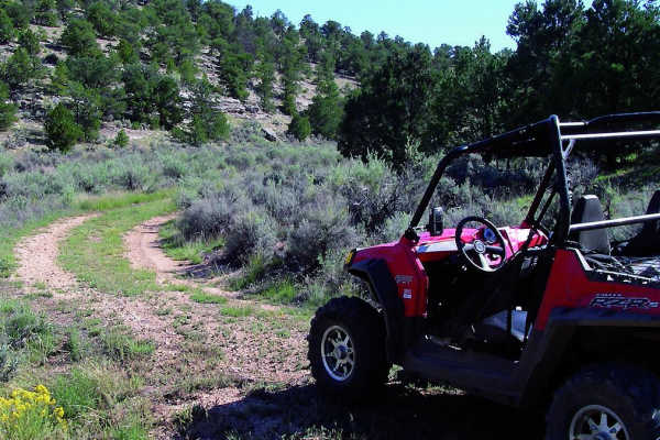
Orderville Canyon is a scenic, multi-use 31.5-mile point-to-point trail in northern Arizona, offering stock four-wheel-drive vehicles, SxSs, and dirt bikes an easy way to traverse from the Kaibab Plateau down to the desert flats. This route serves as the northernmost leg of the Great Western Trail, taking travelers through the scenic Buckskin Mountains and Orderville Canyon with a technical rating of 3. The path transitions from high-elevation ponderosa pines at 7,668 feet near Jacob Lake to low-lying sagebrush desert at 5,362 feet, making for a substantial elevation change of over 2,300 feet. The route is mostly a graded dirt and gravel road that is easily manageable for high-clearance, stock four-wheel-drive SUVs, though it features one steep hill that may require extra caution. Along the way, dispersed camping spots are abundant, particularly on the southern end within the Kaibab National Forest, providing excellent base camps for exploring the surrounding backcountry.
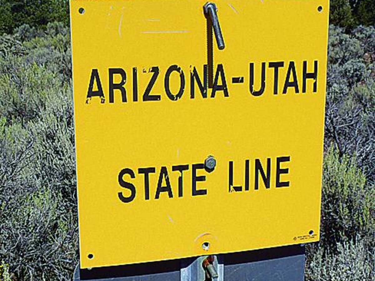
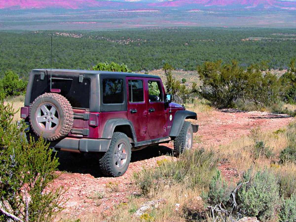
Originally utilized in 1863 by Mormon settlers for grazing cattle and sheep, the canyon was named after the cooperative Orderville United Order established around 1880, and it once hosted an active sawmill. Today, unlicensed vehicles are permitted, making it a popular route for SxSs and ATVs seeking to connect from Highway 89A near Jacob Lake to Highway 89 near the Utah border. To access the southern trailhead, head east from Jacob Lake on Highway 89A for 3.2 miles and look for the large staging and parking area on the left. Travelers should be prepared for changing weather conditions, as the dirt surfaces can become extremely muddy and slick during monsoon season or winter snowmelt. The route is best enjoyed from late spring through fall when the high-altitude sections are free of snow and mud, offering sweeping views of the Vermilion Cliffs and the rugged desert landscape of northern Arizona.
History
In 1863, Mormon settlers introduced cattle and sheep grazing to the area as they expanded their territory. Orderville Canyon was named after the Orderville United Order, a Mormon Church cooperative established around 1880. The land transitioned through multiple owners over the years and once hosted an active lumber sawmill.

 Offroad