Trail Overview
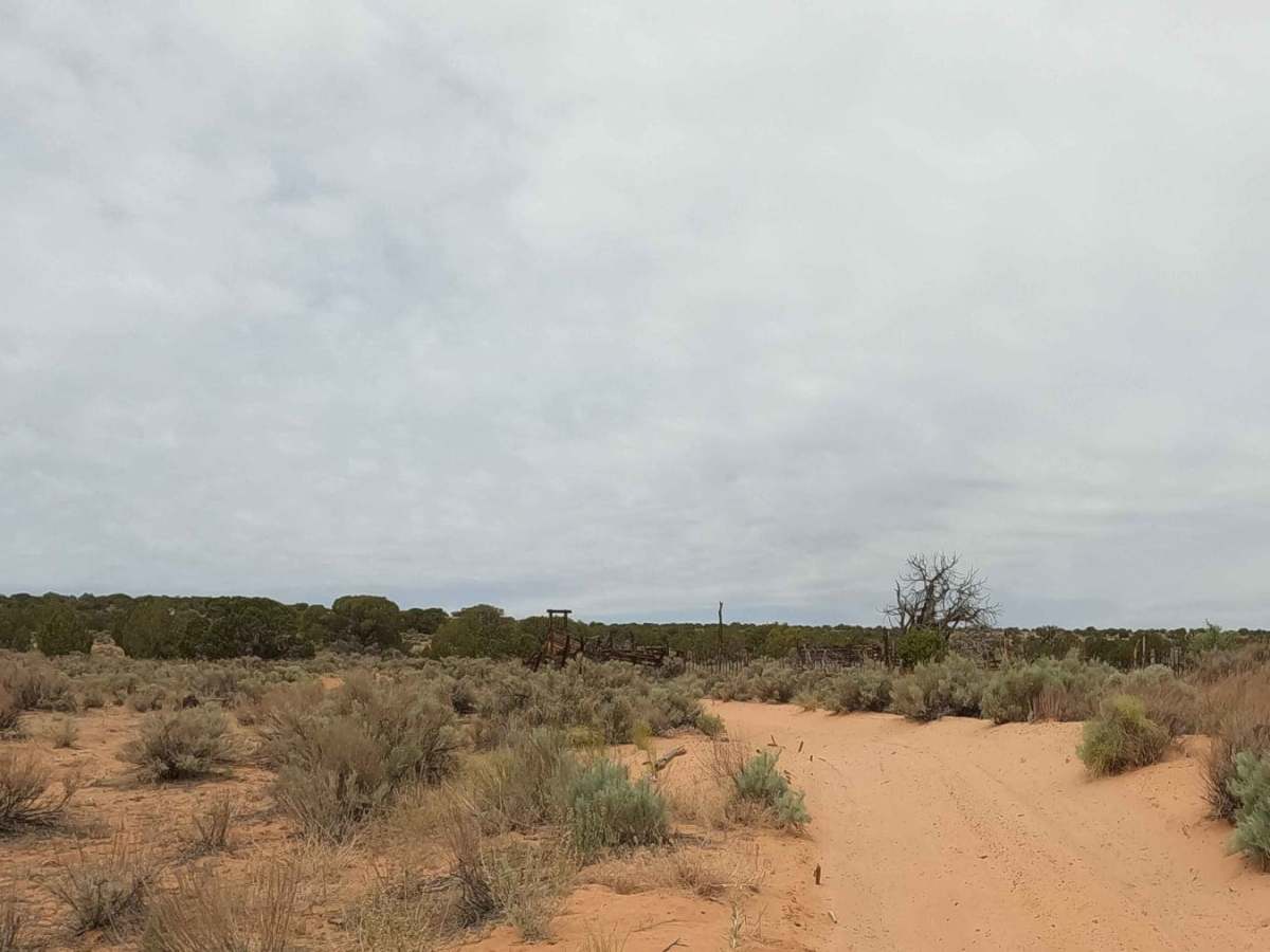
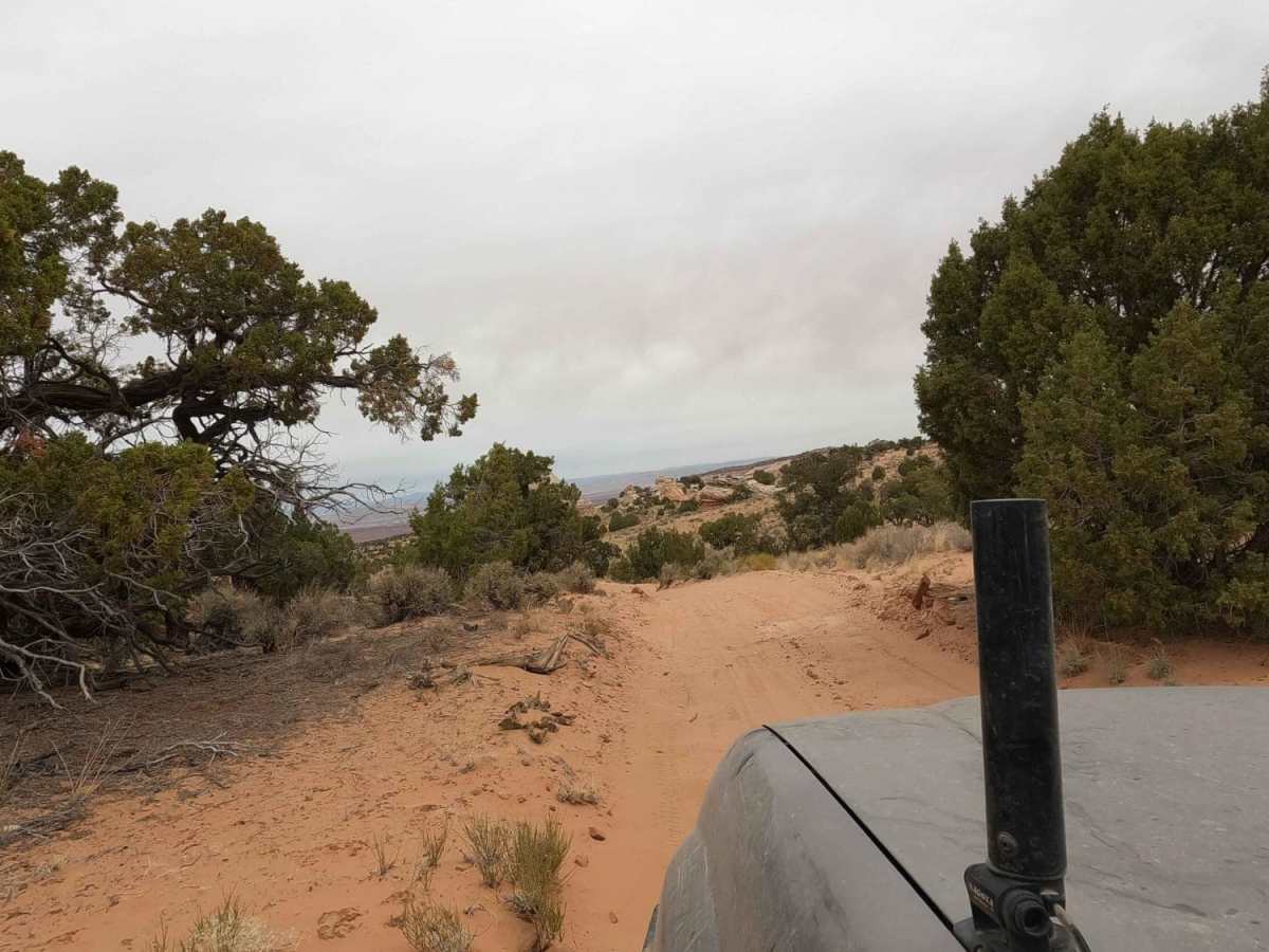
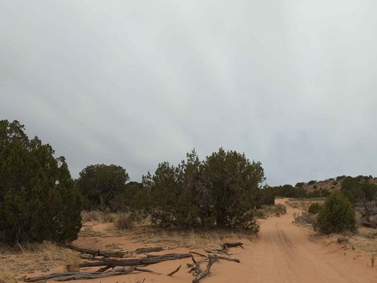
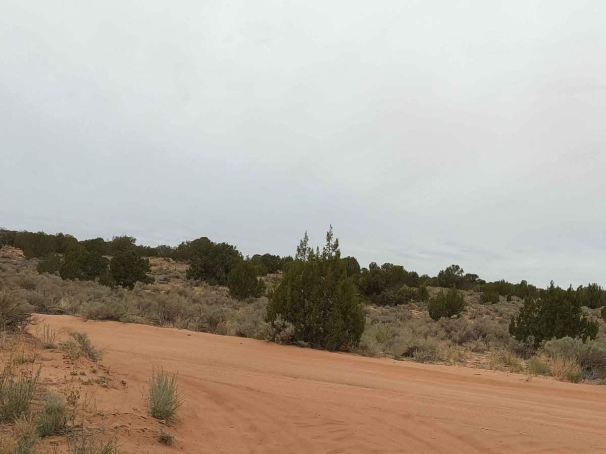
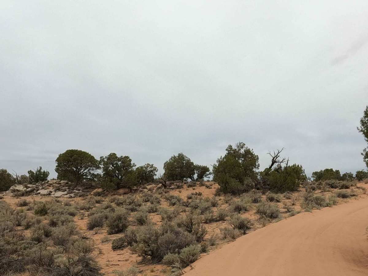
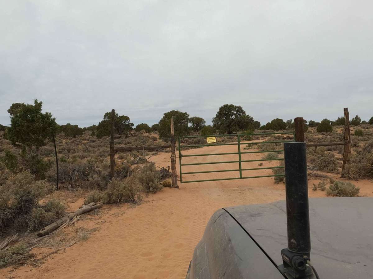
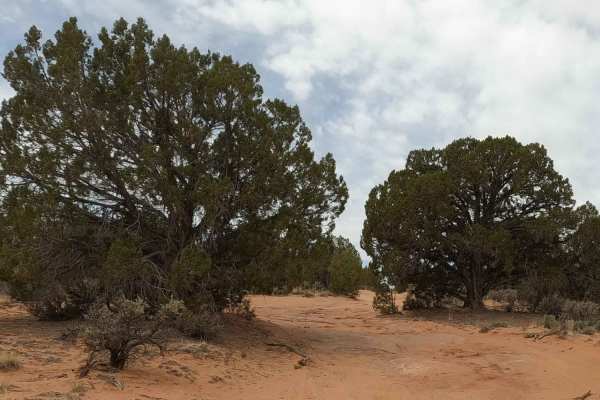
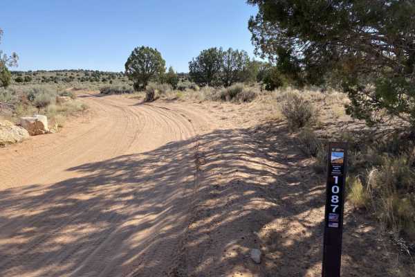
NM-1323 is a 2.75-mile sandy route within Vermilion Cliffs National Monument leading toward White Pocket. Situated in a remote high-desert environment between 5,722 and 5,978 feet, the trail consists entirely of deep, fine sand. High-clearance 4x4 vehicles are required, as standard all-wheel-drive crossovers will easily bottom out or become stuck.
Driving safely here requires airing down tires and carrying recovery gear like traction boards and a shovel. Due to summer temperatures exceeding 100°F, spring, fall, and winter are the best seasons to visit. There is no cell service, so visitors must carry a satellite messenger, extra water, and be prepared for self-rescue.
Access Description
No permits are required to drive NM-1323 or to visit White Pocket, but standard Bureau of Land Management regulations apply. Drivers must use high-clearance 4x4 vehicles; all-wheel-drive (AWD) vehicles are not recommended due to deep, soft sand. Always pack out all trash and be prepared for self-rescue.