Trail Overview
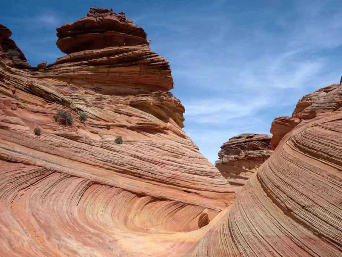
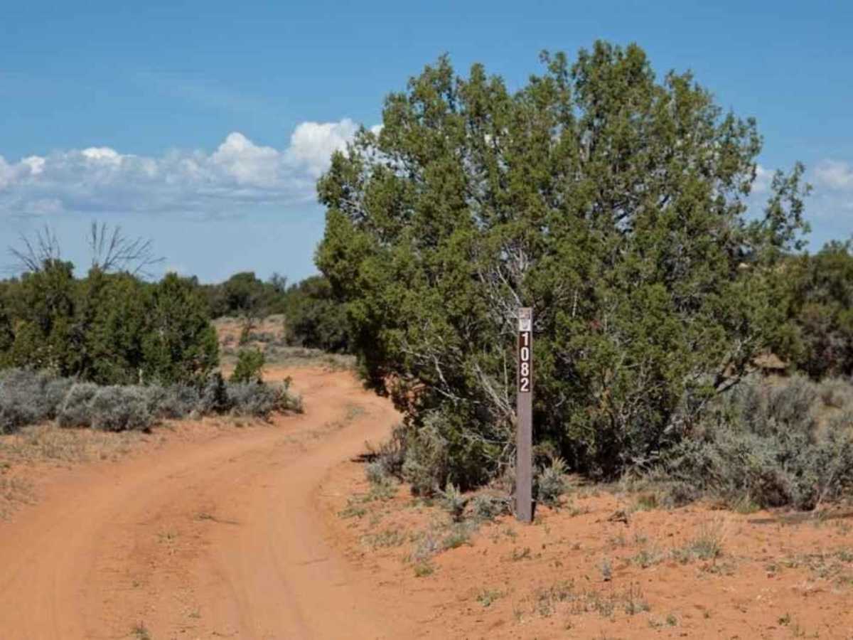
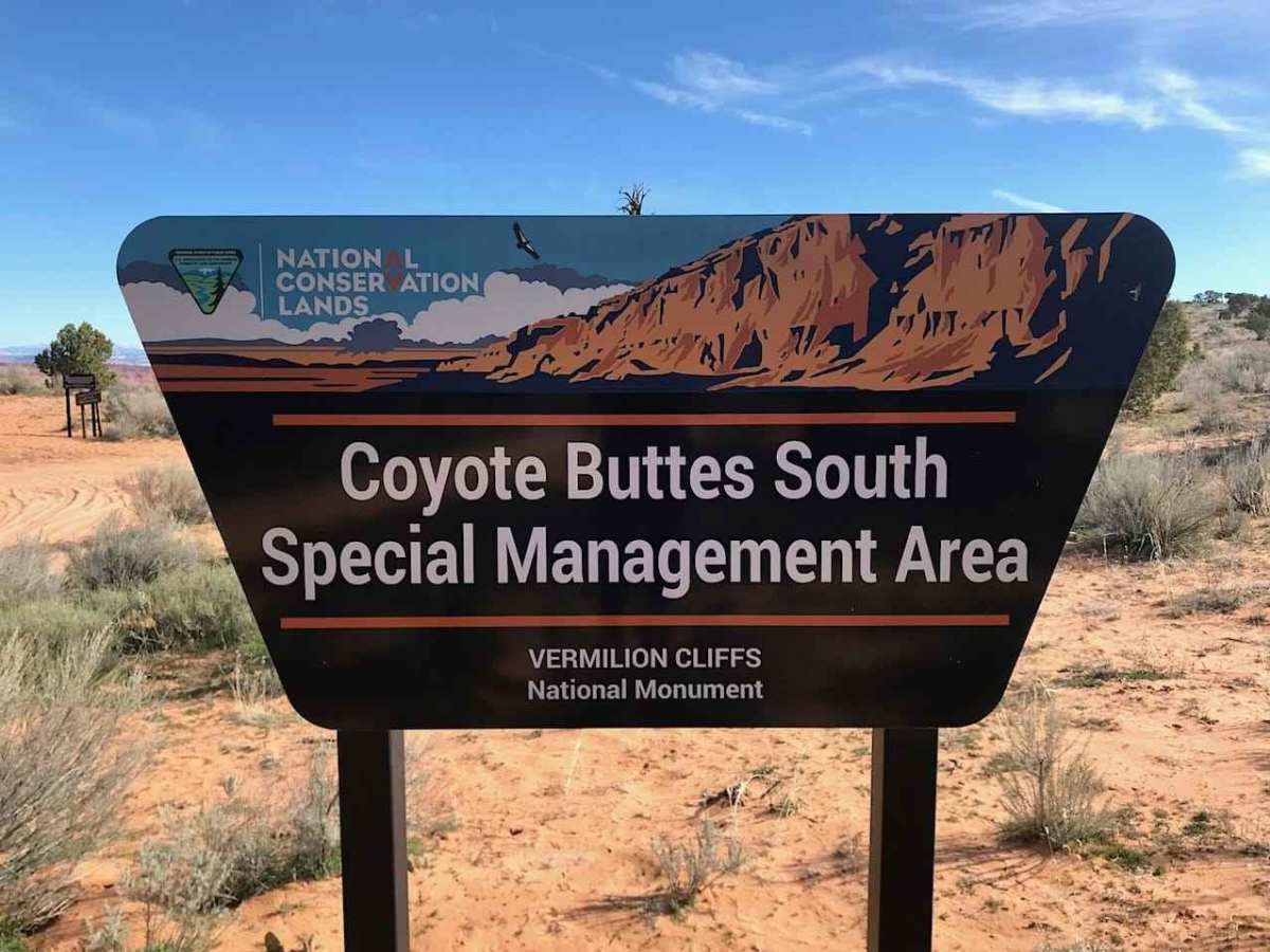
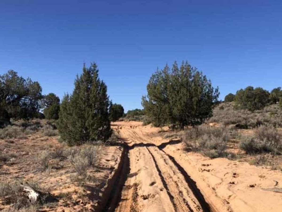
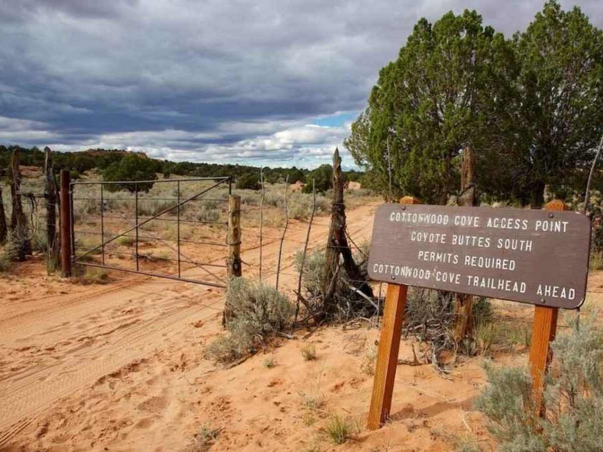
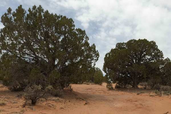
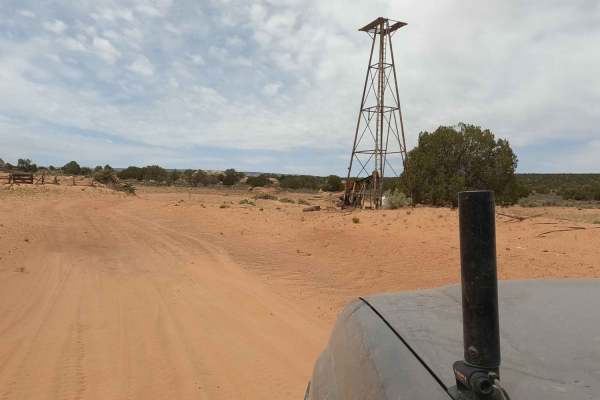
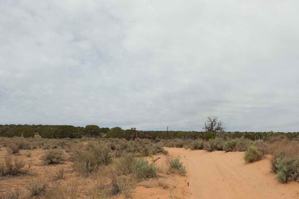
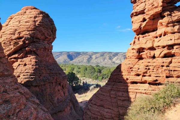
Cottonwood Cove-BLM1082 is a 7.4-mile out-and-back trail rated 3 of 10 located within the Vermillion Cliffs National Monument and adjacent to the Paria Canyon-Vermillion Cliffs Wilderness area. The trail starts in Poverty Flat at the intersection with Paw Hole, Sandhill Loop, and Red Pockets trails. The trail runs north 2.5 miles to the Cottonwood Cove Teepees trailhead which provides access into the Coyote Buttes South region. Most travelers never drive further than this point. Approximately 1.7 miles down the trail there is a gate;leave it the way you find it. Beyond this point, entry requires a BLM permit for Coyote Buttes South (there are both advanced and daily lotteries). The trail runs along the eastern border of the wilderness area to the trailhead parking lot. Continuing past the trail loops east past "The Chess Queen" and "Pile of Pancakes" rock formations before looping back west to the trail end. The south is the lesser-known, more difficult-to-access section of Coyote Buttes. For those who can't get a permit for "The Wave" in the Coyote Buttes North section and have the appropriate vehicles, the Cottonwood Cove trail and access is a great alternative and generally available. Although the southern section does not have as many impressive sandstone waves, it makes up for it with some very unique sandstone formations such as the Cottonwood Teepees, the World Cup, the Postman, as well as those named above. Be advised that this is a remote area and although very popular in the late spring and fall, it can be very hot in the summer and very cold in the winter. There is no cell service in this area. The nearest services are in Kanab or Big Water to the north and there is fuel in Jacobs Lake to the south.
Difficulty
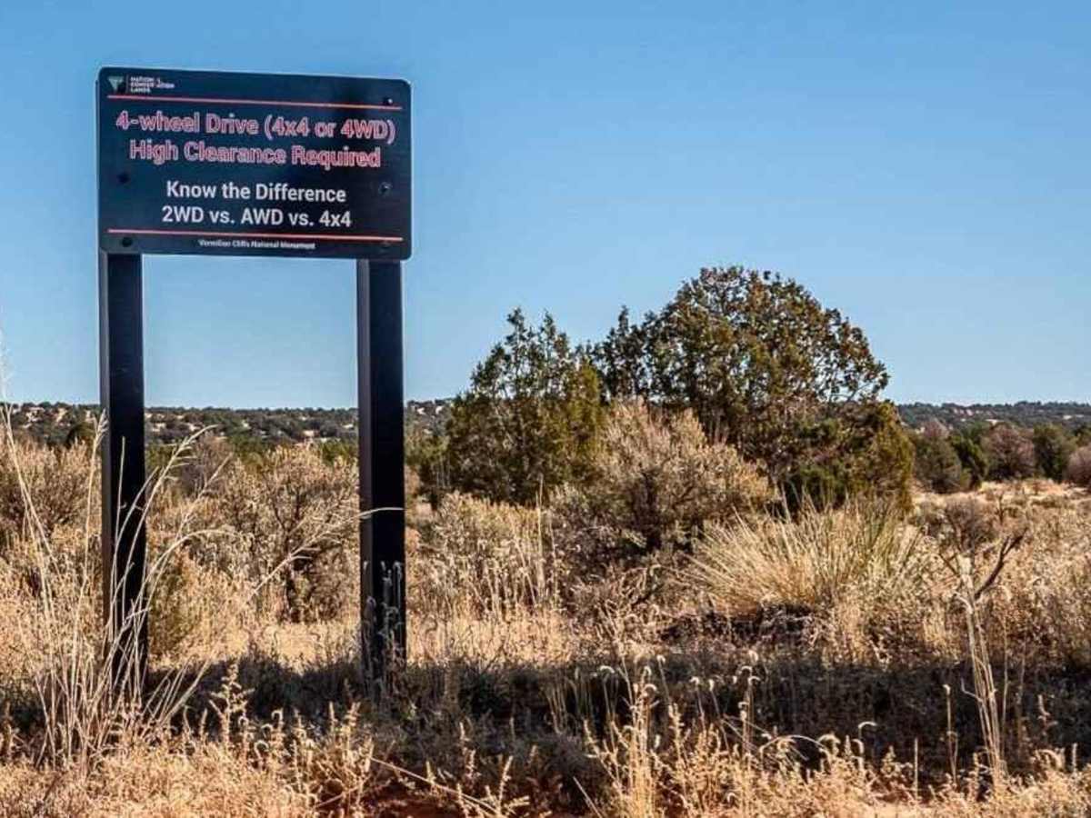
The trail consists of loose rocks, dirt, and sand with some slick rock surfaces and mud holes possible. No steps are higher than 12 inches. 4WD may be required, and aggressive tires are a plus.
History
https://www.recreation.gov/permits/16851