Trail Overview
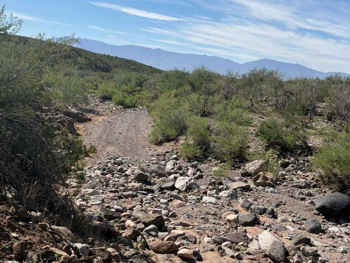
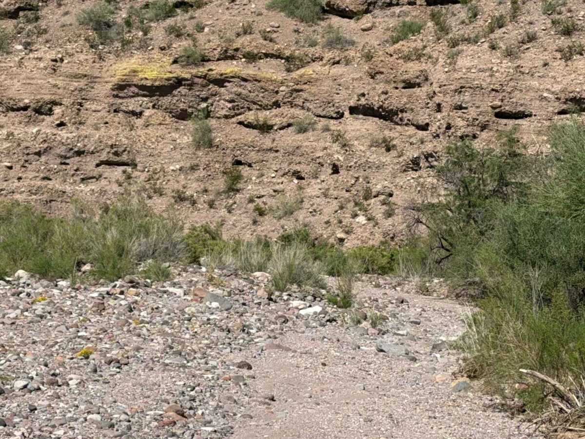
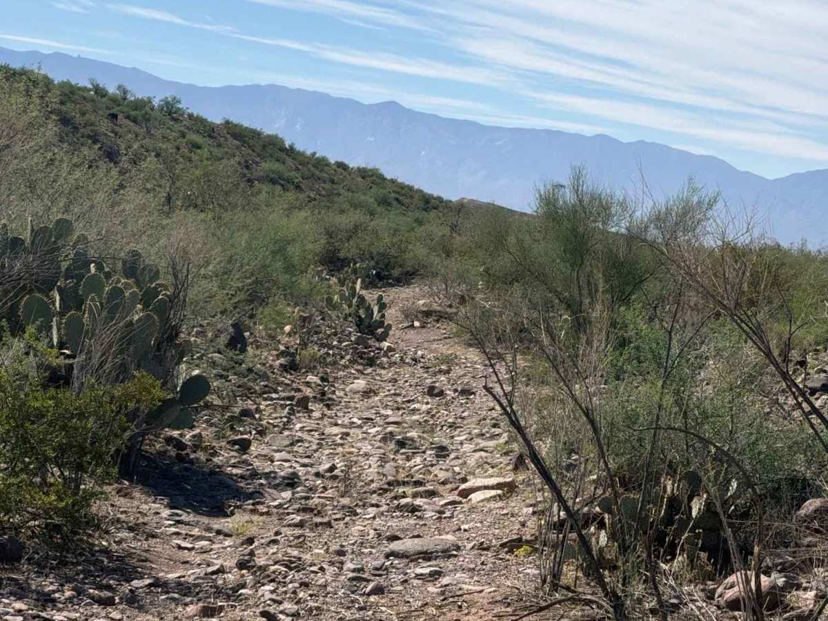
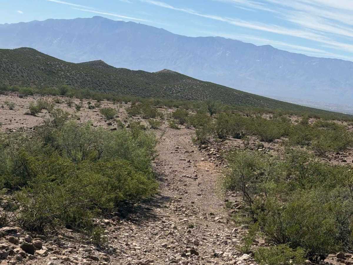
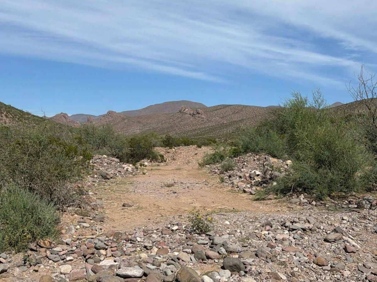
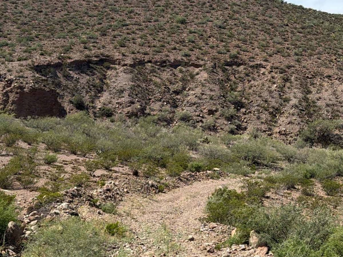
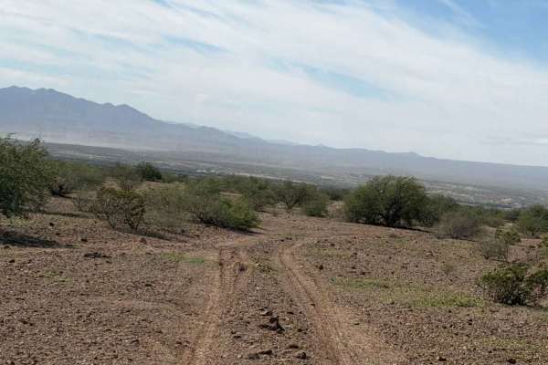
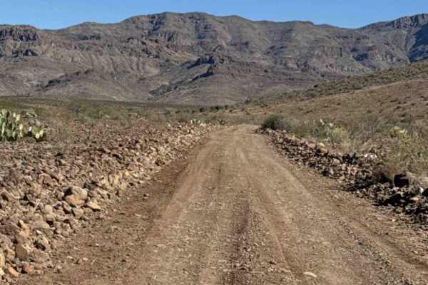
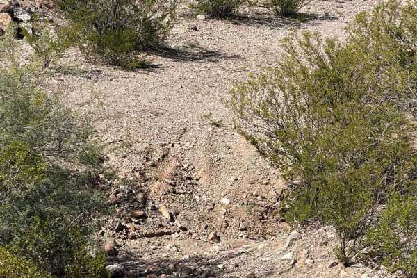
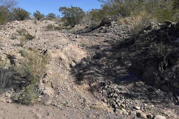
This trail begins at the State Trust property line and descends into a wash, passing through a tight, overgrown section with large rocks lining the wash. It crosses two sections of the wash before climbing out the opposite side and traversing the open desert above, then drops back into the wash and intersects with SA1004 or continues across the desert toward a series of mountain climbs. The route follows rugged, bumpy terrain with loose 6-inch rocks and desert creosote throughout. At the Y intersection, turn right to climb toward the next peak, where steep climbs lead to breathtaking elevated views of the Narrows to the north. Although there are no technical obstacles, expect steep hill climbs and uneven, rocky terrain. The trail reaches approximately 3,775 feet in elevation before ending at FH1085.
Difficulty
No obstacles or technical sections. Expect steep hill climbs, large scattered loose rocks, and a mix of wide and narrower sections. 4WD recommended.