Trail Overview
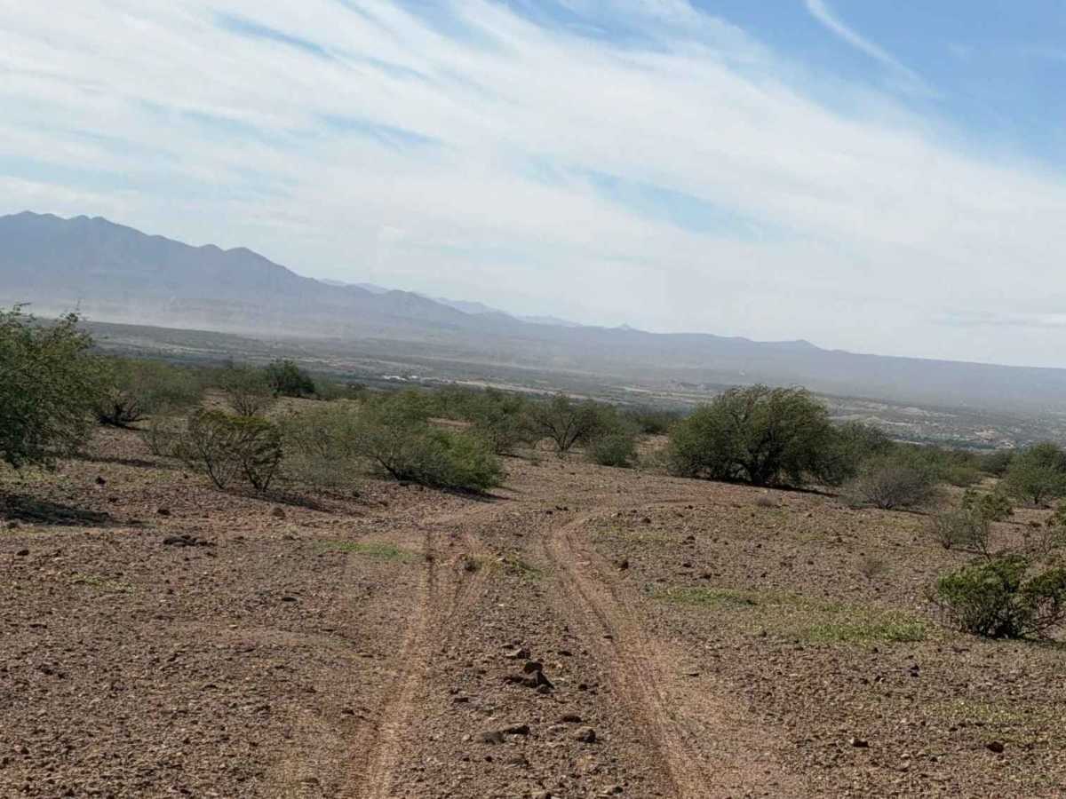
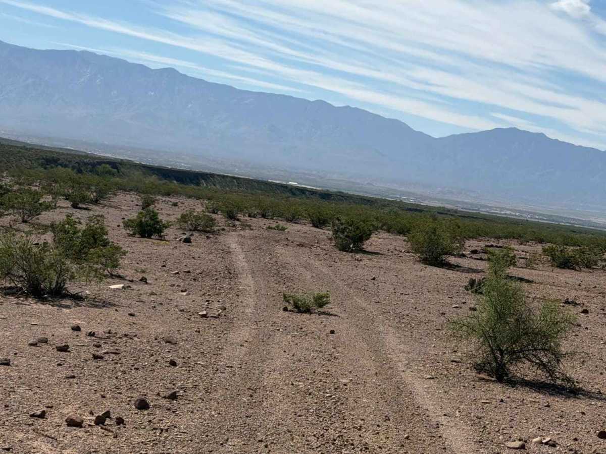
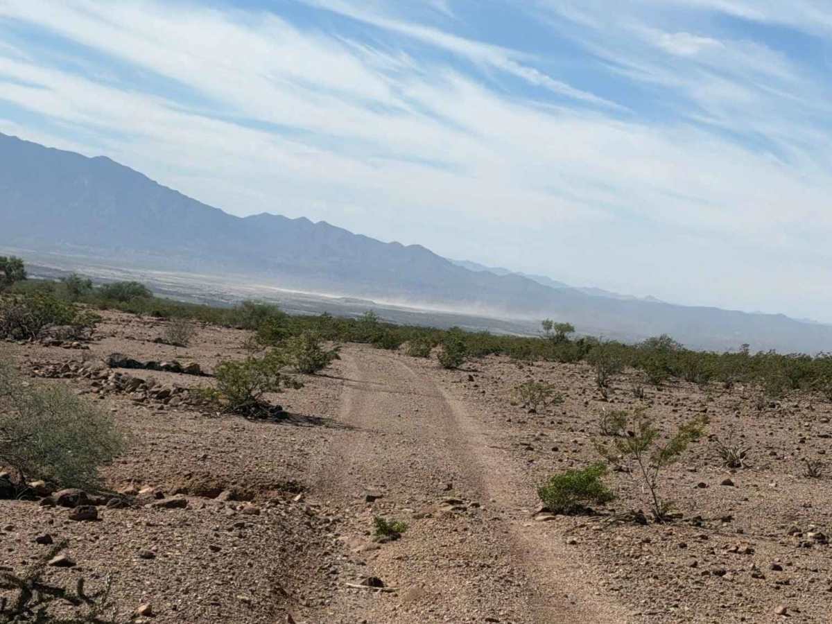
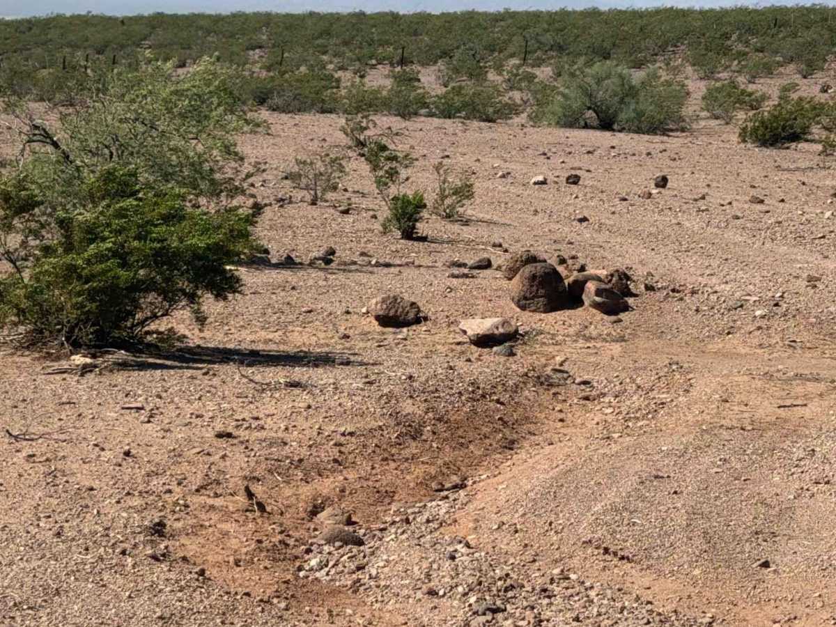
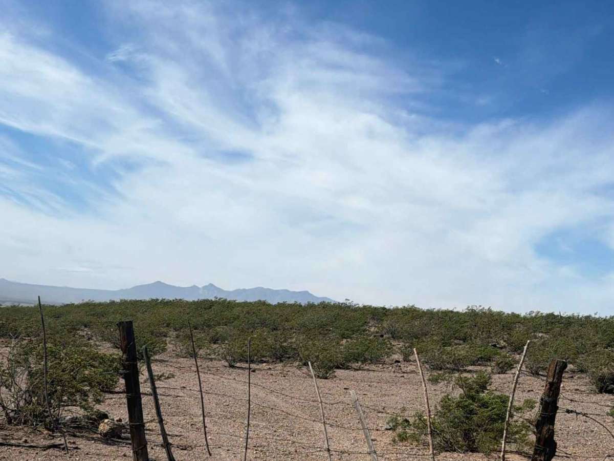
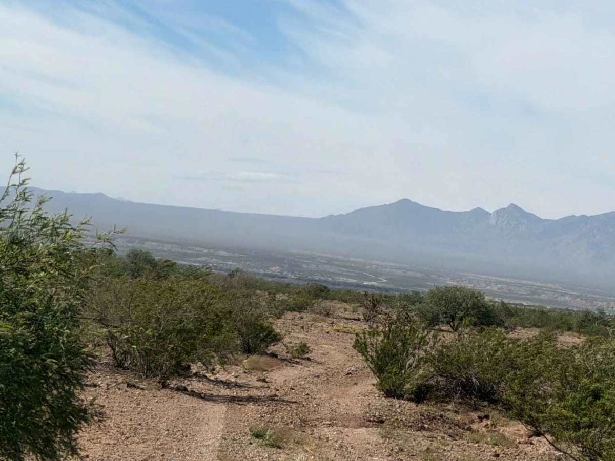
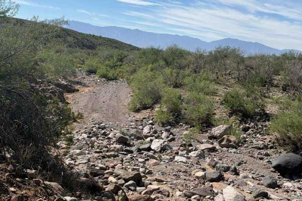
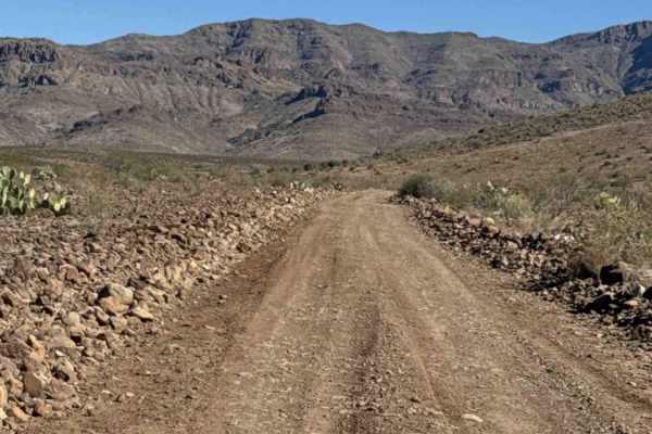
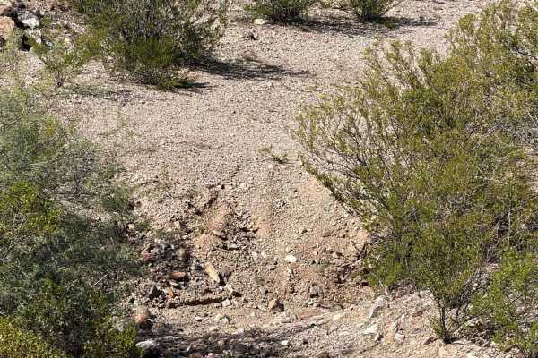
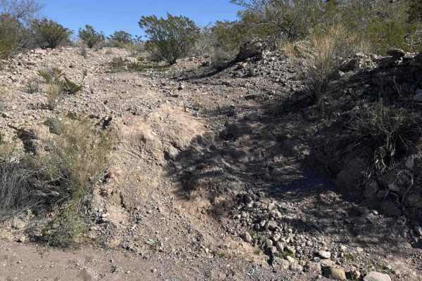
Trail begins at the state trust property line and runs north/south to Hawkins Road. This is a wide 2-track point-to-point trail, gentle gravel and dirt, with a few ruts and water transitions. Runs parallel above the wash. Surrounded by desert creosote, prickly pear, and lines of lava rock. Lava rock has been strategically placed to divert water in certain areas off the trail. A few pin stripes in random areas where creosote has grown close to the trail, followed by large, wide-open desert. Nothing technical, no obstacles. About half of a mile in, there is a gate; keep the gate closed after passing through. There is a water tank at the intersection of other trails; watch for livestock. The trail ends at Hawkins Road.
Difficulty
No obstacles, although a few pinstripes are possible. There are a few bumps at water drainage transitions, but overall the route is suitable for any 2WD or 4WD high-clearance vehicle.