Mead Davis Powerline Road

Total Miles13.5
Technical Rating
3Easy
Best TimeSpring, Fall, Winter
Trail TypeHigh-Clearance 4x4 Trail
Accessible By
Open Trail Map

Trail Overview

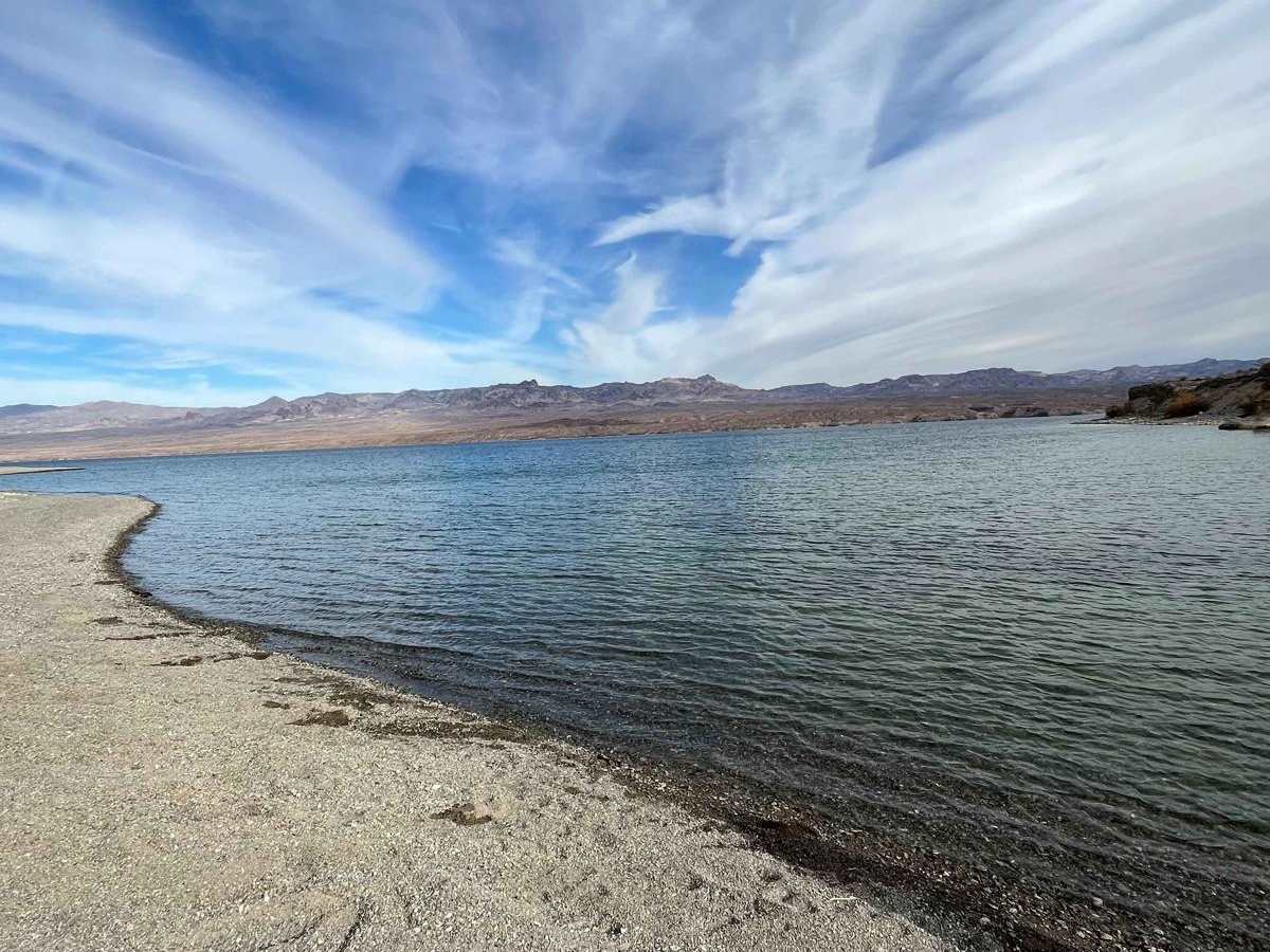
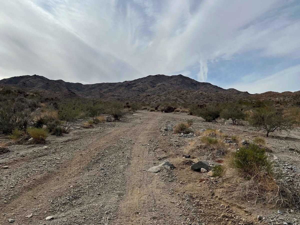
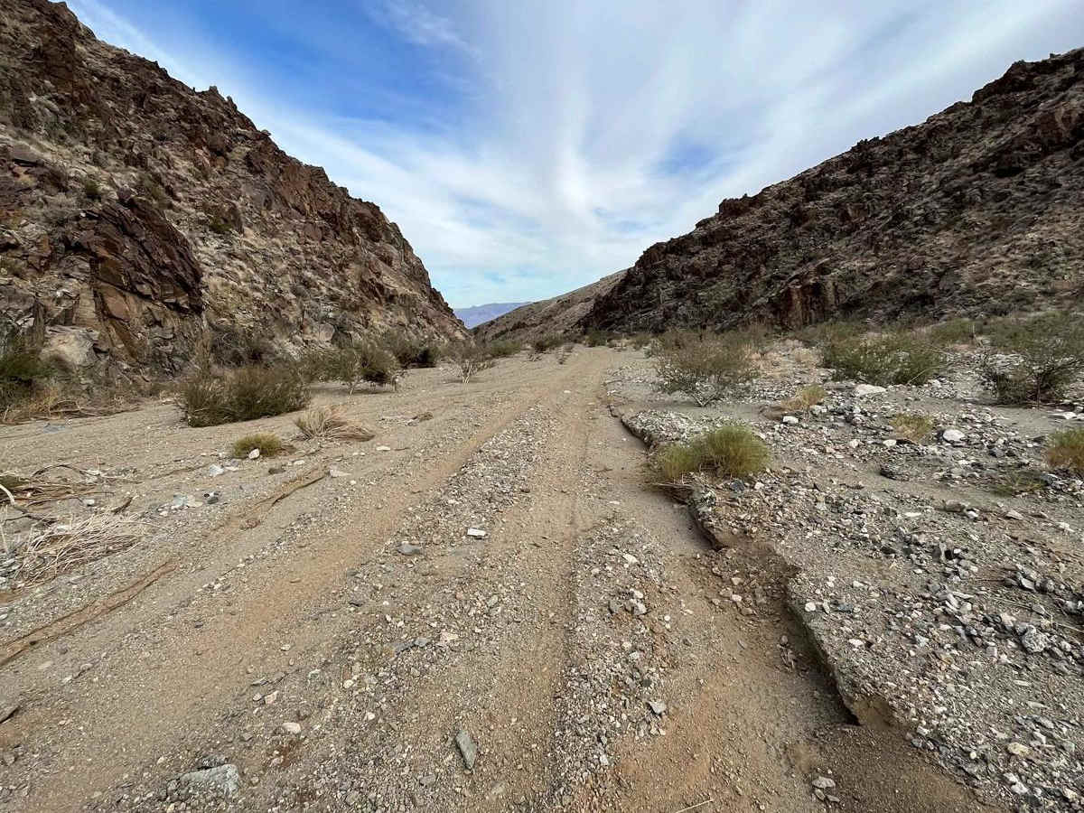
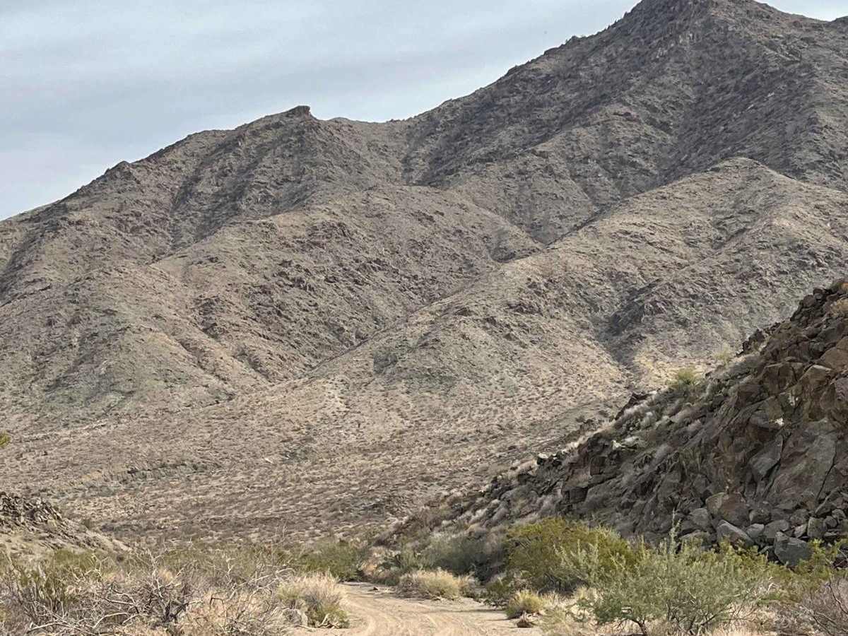
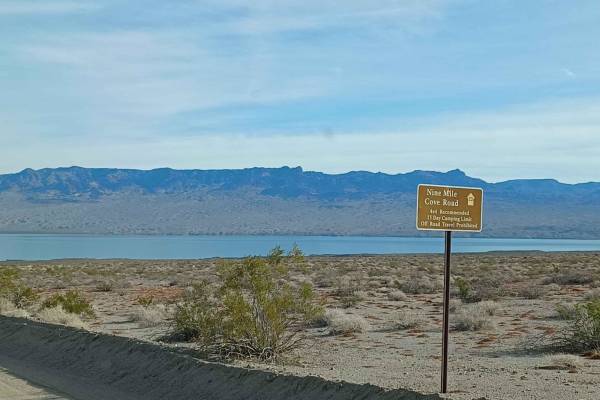
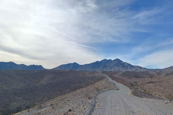
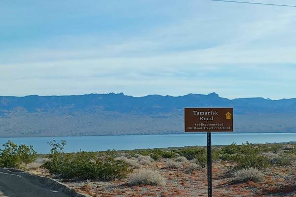
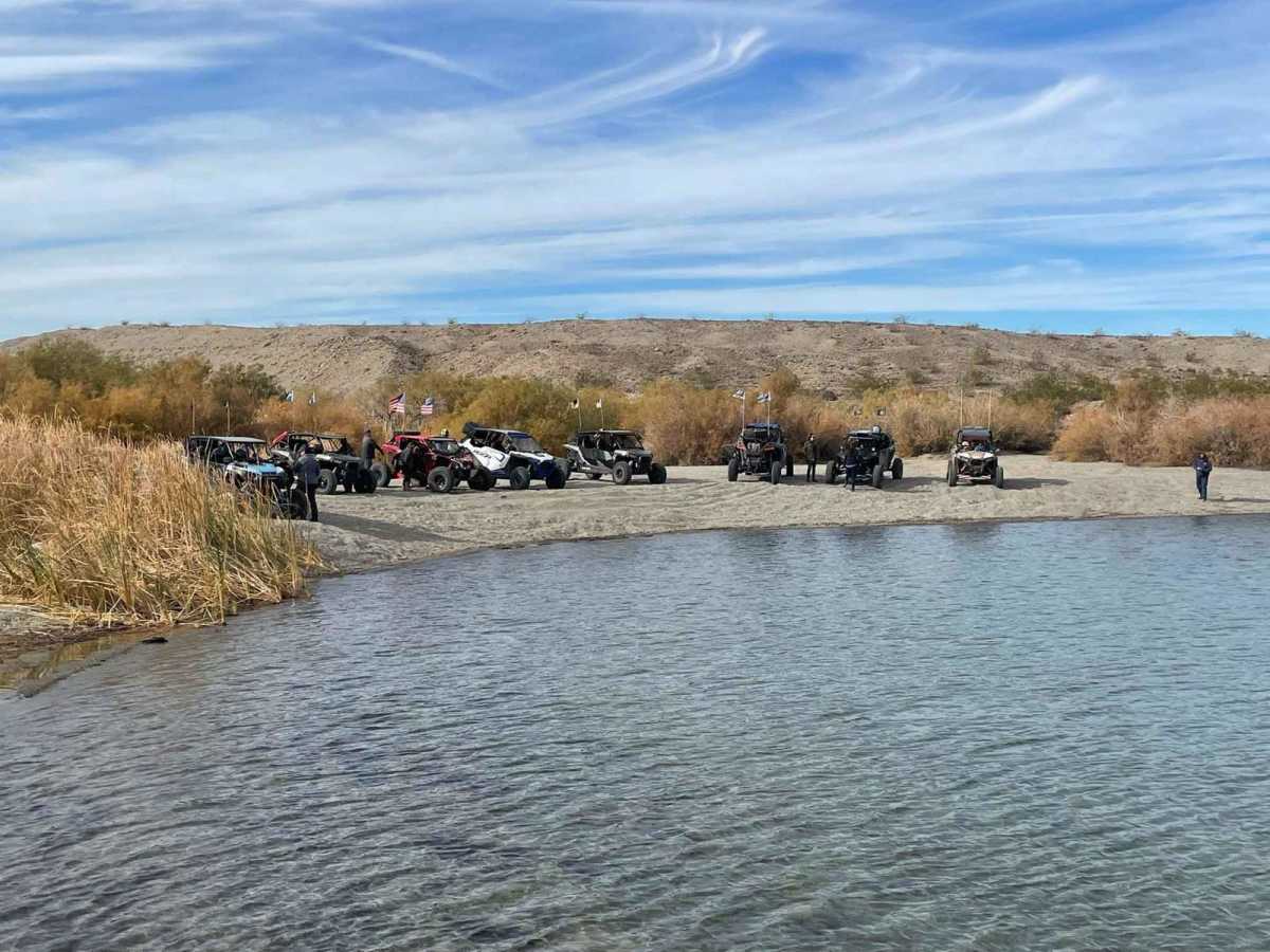
Mead Davis Powerline Road is a scenic 13.5-mile off-road trail ideal for four-wheel-drive vehicles, SxSs, and dirt bikes looking for a direct descent from the desert mountains to the shores of Lake Mohave. Starting near the base of Spirit Mountain at an elevation of 3,860 feet, the route descends over 3,200 feet down to 650 feet, offering stunning desert vistas along the way. The upper portion of the trail consists of a single-vehicle-wide, hard-packed dirt road with rutted areas and uneven grades. As the route continues, the terrain transitions into wide sandy washes that eventually narrow back down to single-vehicle width as they approach the lake near Cottonwood Island. With a technical rating of 3, this route is accessible to most high-clearance vehicles, and lifted two-wheel-drive vehicles can typically complete it after airing down. Drivers must watch for large boulders partially buried within the sandy washes, particularly when driving through dust kicked up by other vehicles. The trail ends directly at the shoreline of Lake Mohave, offering an excellent, quiet spot for lunch or watching the sunset before making the return trip. Accessing the trailhead from the west involves taking Christmas Tree Pass Road for six miles from Nevada State Route 95 to the intersection with the powerline road.

Photos of Mead Davis Powerline Road

Difficulty

Trail should be easy for any 4x4, SXS, UTV and motorcycle. most lifted 2 wheel drives should make the trail.

Technical Rating

3

Status Reports

Add Status Report
Nicolas Pineda
Jul 10, 2026
2019 Toyota Tacoma
Open
Rough/Deteriorated
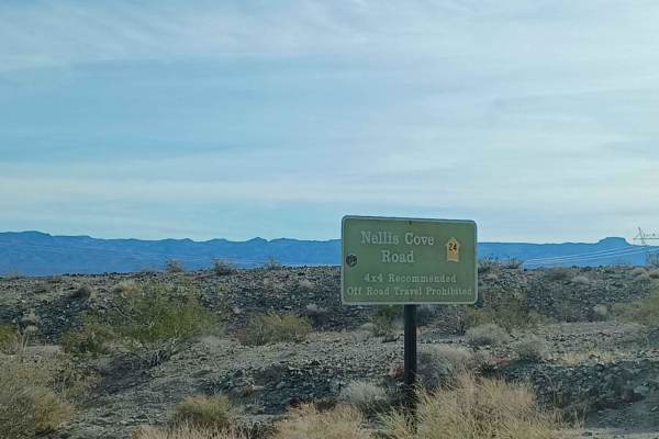
The trail from Cottonwood Pass to Nellis Cove is in pretty good shape overall, with only a few sections of loose sand. We took the route toward Christmas Tree Pass on the way back, and it has some incredible scenic overlooks of Lake Mohave that are definitely worth stopping for. This trail is absolutely beautiful—we found ourselves pulling over several times just to take it all in. Between the desert landscapes, mountain views, and overlooks of Lake Mohave, the journey is just as rewarding as the destination. Just before Roman Mine, the trail starts getting rockier with a few larger obstacles and some sharp rocks. I’d recommend airing down your tires and engaging 4WD before this section for better traction and to help protect your tires. As you get closer to Christmas Tree Pass, you’ll run into some washed-out areas with deep ruts in the middle of the trail. A high-clearance 4x4 with decent articulation is ideal, although I think a capable 4x2 could make it through if the driver knows how to pick good lines
Taylor B
Oct 25, 2025
2024 Polaris RZR XP 4 1000
Open
Normal

Mead Davis Powerline Road Trail can be accessed by the following ride types:

  • Single Track
  • 50 Inch
  • 60 Inch
  • High Clearance

Access Description

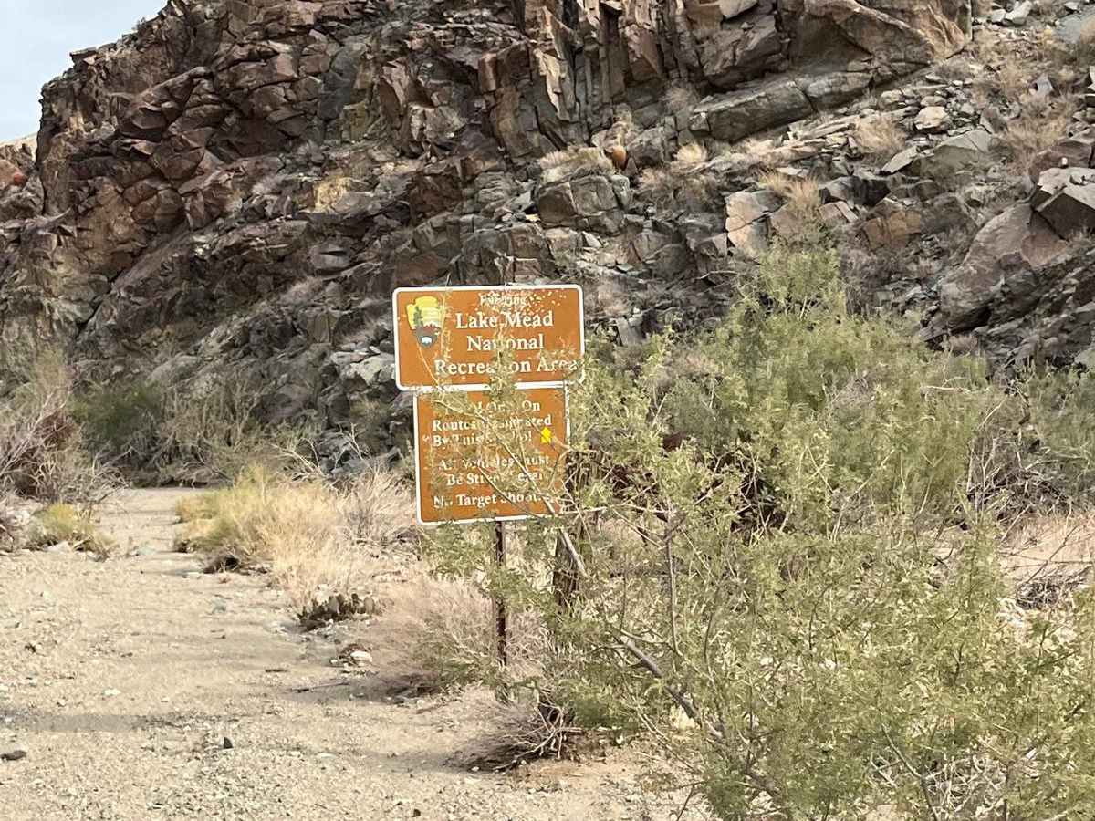
Mead Davis Powerline Road is located within the Lake Mead National Recreation Area. Visitors accessing the lake shore are subject to National Park Service entry fees or must display a valid America the Beautiful interagency pass.

Mead Davis Powerline Road Map

The onX Offroad Difference

onX Offroad combines trail photos, descriptions, difficulty ratings, width restrictions, seasonality, and more in a user-friendly interface. Available on all devices, with offline access and full compatibility with CarPlay and Android Auto. Discover what you're missing today!

Open Trail Map