Trail Overview
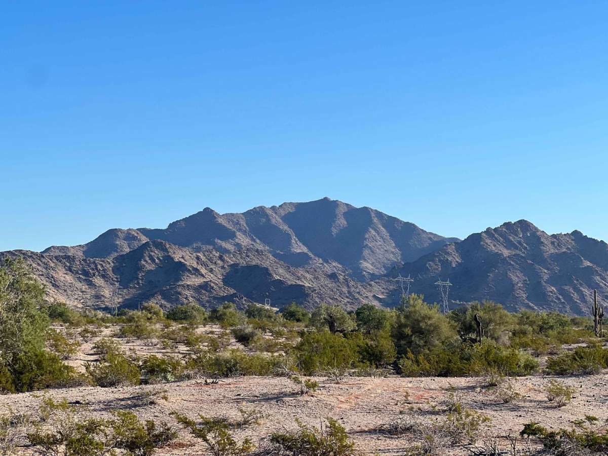
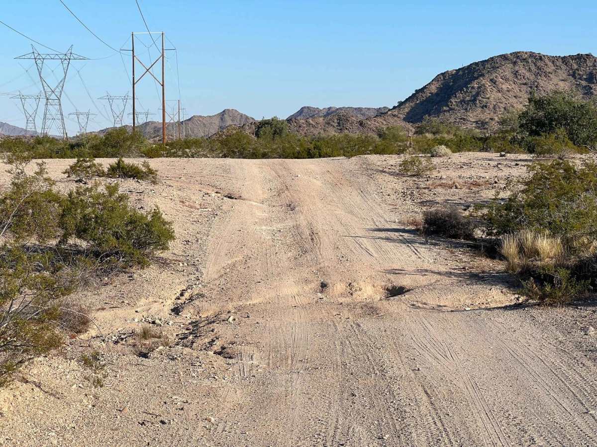
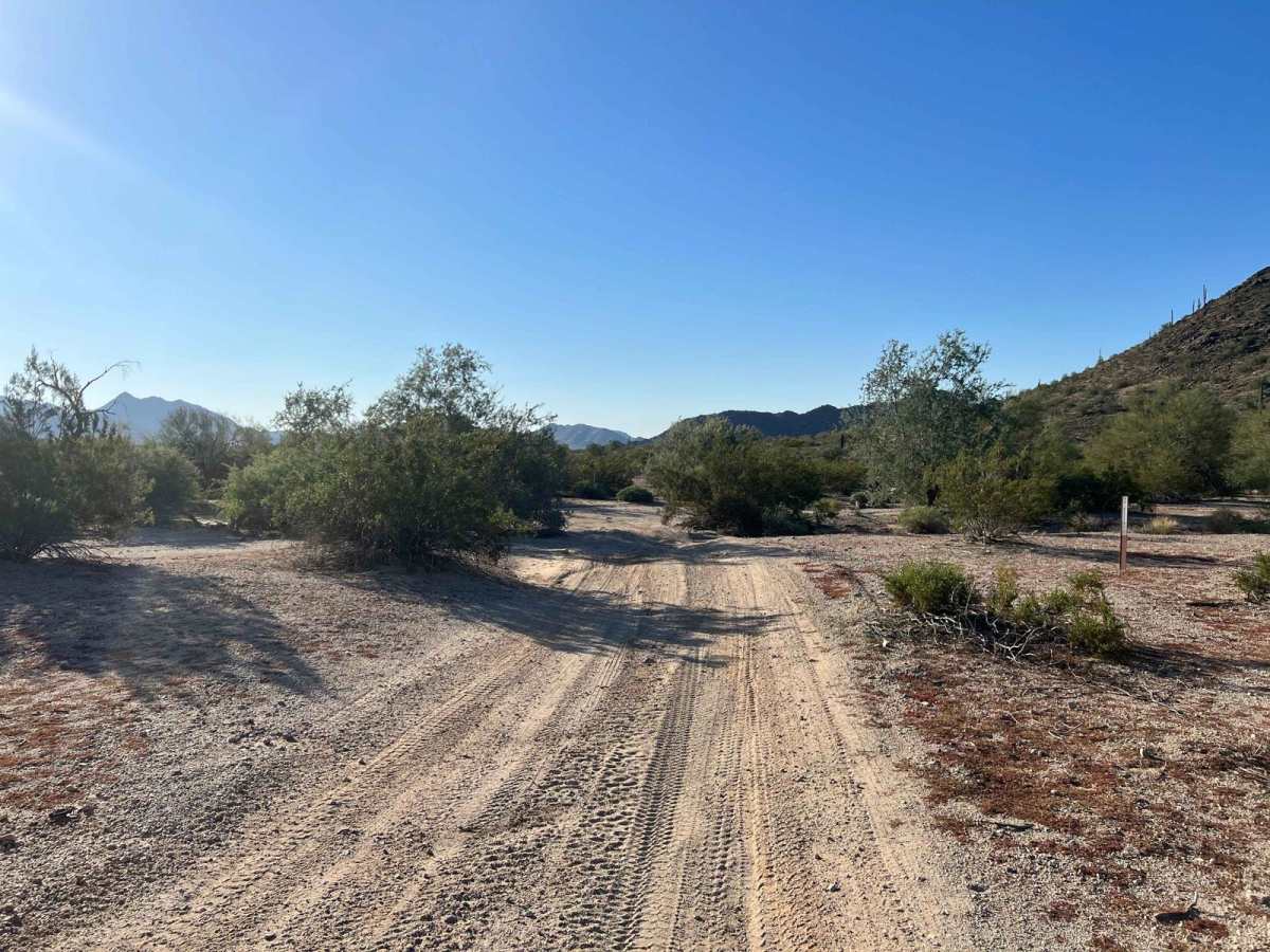
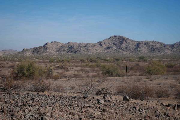
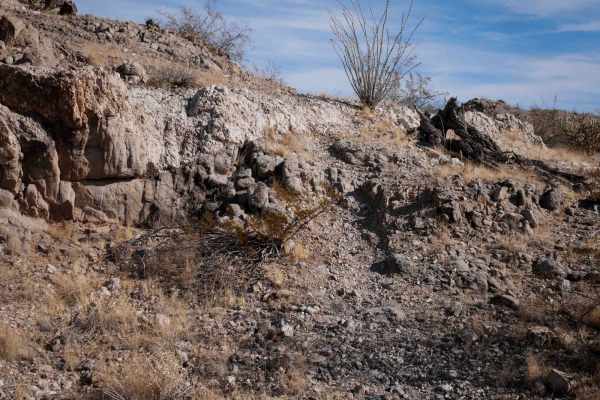
Margie's Cove Trail is an accessible, scenic desert trek perfect for novice offroaders and dispersed campers looking to explore the borders of the North Maricopa Wilderness. Spanning 5.6 miles, this route skirts the south side of Margie's Peak, dividing the wilderness area and the Sonoran Desert National Monument. The terrain consists mostly of a rutted dirt track with extensive stretches of soft sand and multiple desert washes. While ruts range from 12 to 18 inches, careful tire placement allows most high-clearance two-wheel-drive vehicles to safely navigate the path under dry conditions, though high-clearance four-wheel-drive vehicles will feel much more at home in the deeper sandy sections.
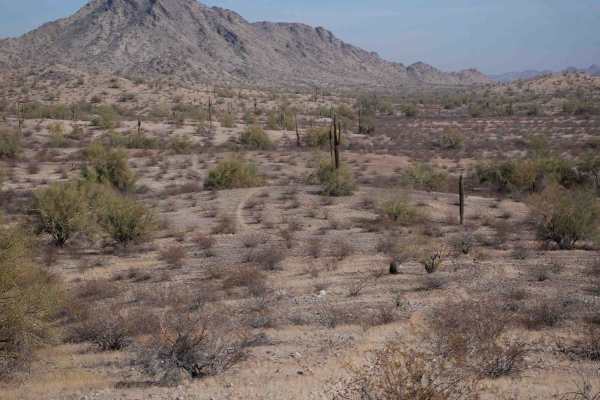
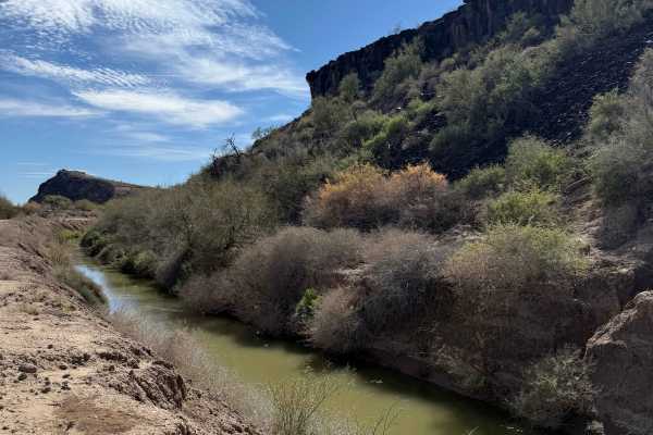
The trail climbs gently, starting at 865 feet and topping out at 1,162 feet, with a total elevation gain of roughly 296 feet. It leads directly to the Margie's Cove dispersed camping area, which serves as an excellent basecamp for hiking or exploring the surrounding desert. Offroaders should remain vigilant during rainy periods, as the numerous wash crossings present a significant risk of flash flooding, and steep, rutted wash entries can become impassable for lower clearance rigs. This multi-use route is highly suitable for dirt bikes, SxSs, and larger overland setups looking to experience a quiet, saguaro-filled landscape.
Access Description
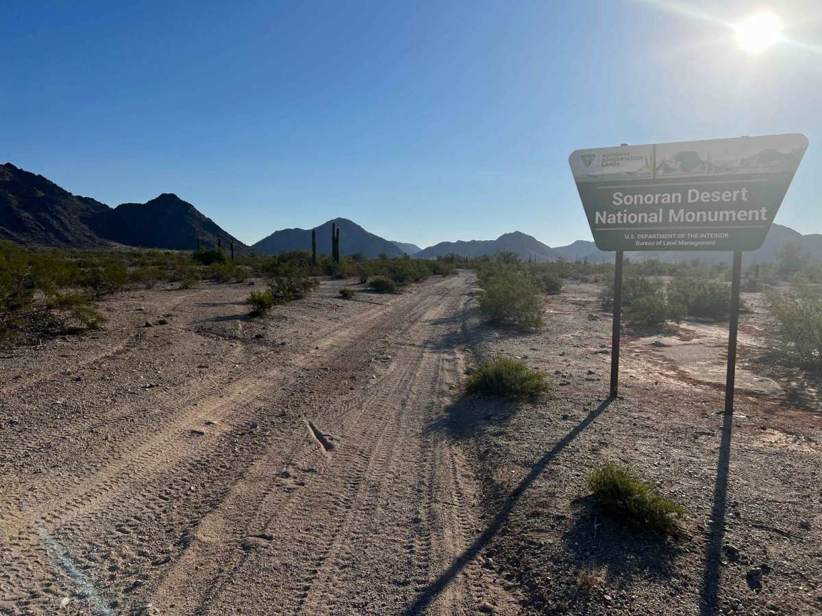
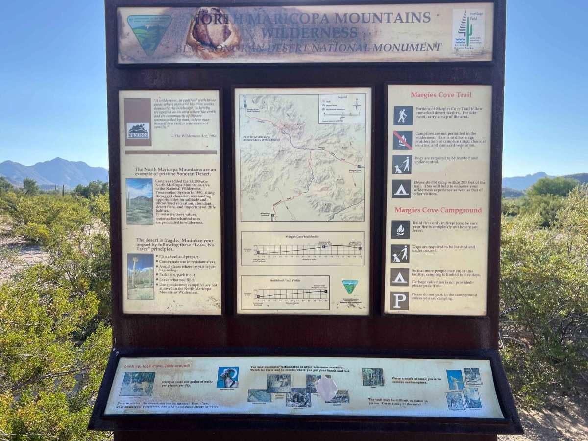
The trail borders the North Maricopa Wilderness and the Sonoran Desert National Monument, meaning motorized vehicles must remain strictly within the designated trail corridor. Driving off-trail into the wilderness area is strictly prohibited. Dispersed camping is allowed at the Margie's Cove campground at the end of the trail, but there are no water or restroom facilities, requiring visitors to pack out all trash and waste. No fees or permits are currently required.