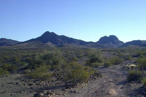
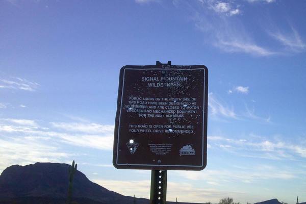
Trail Overview
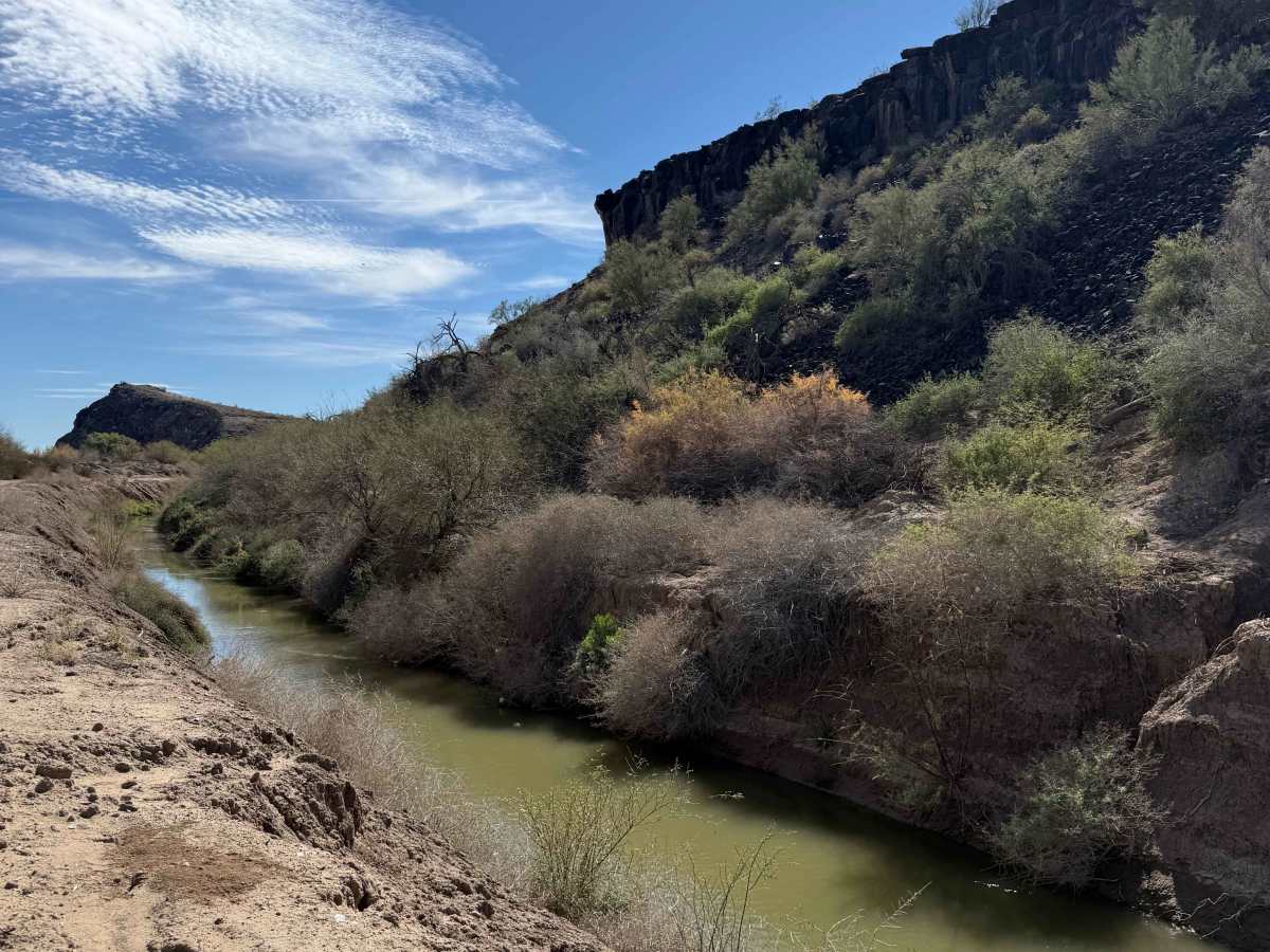
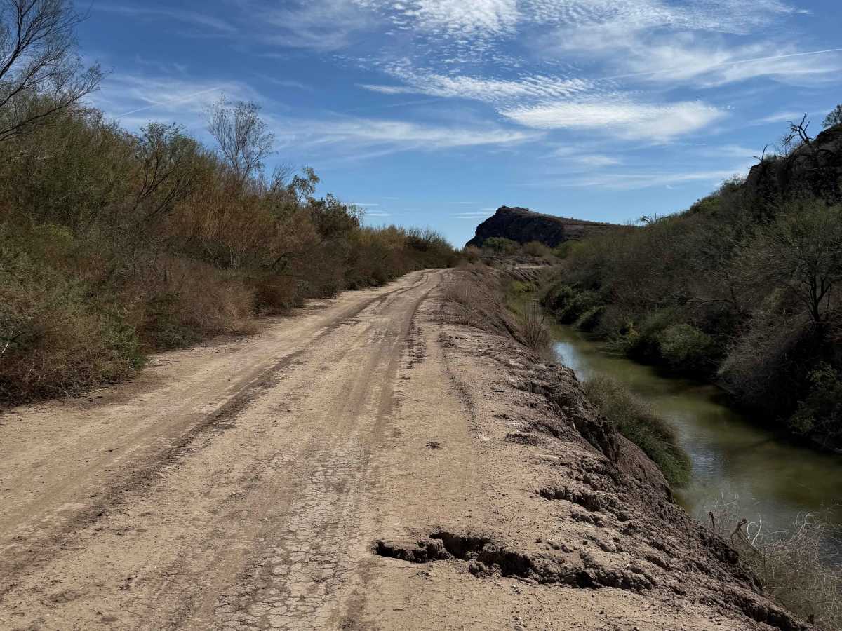
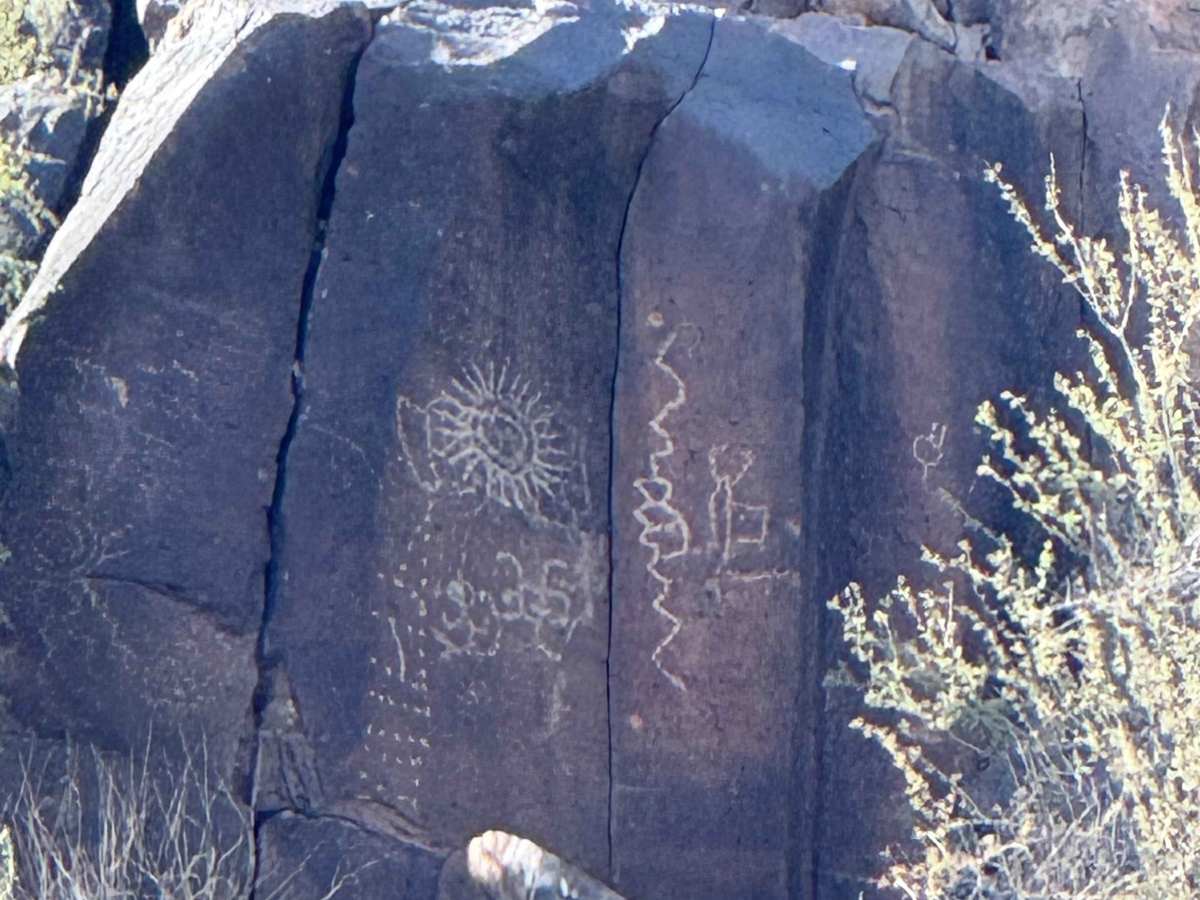
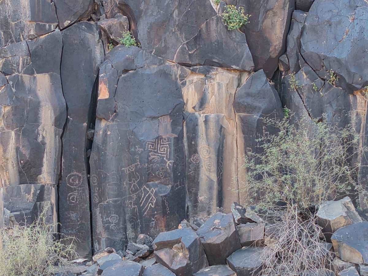
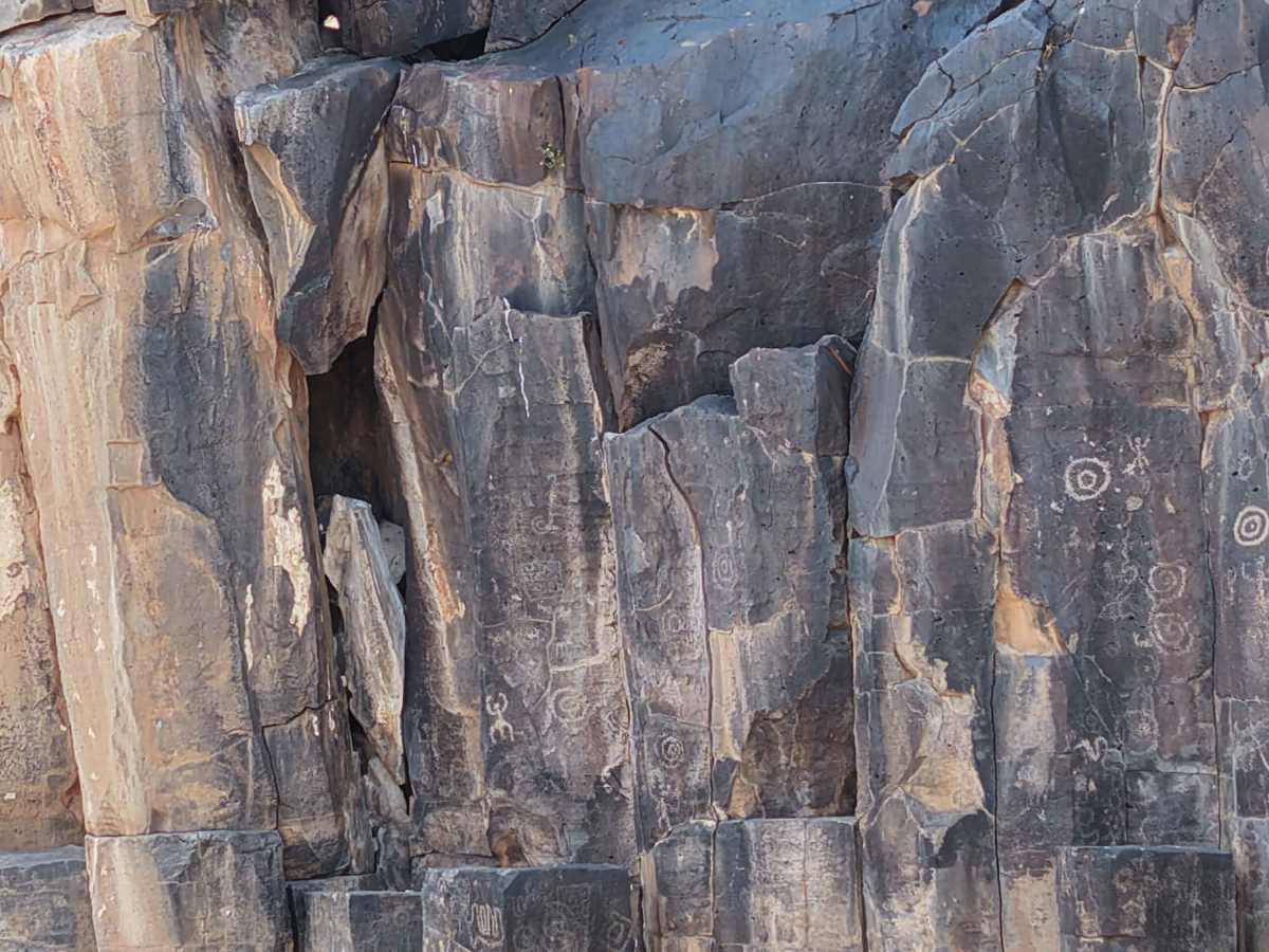
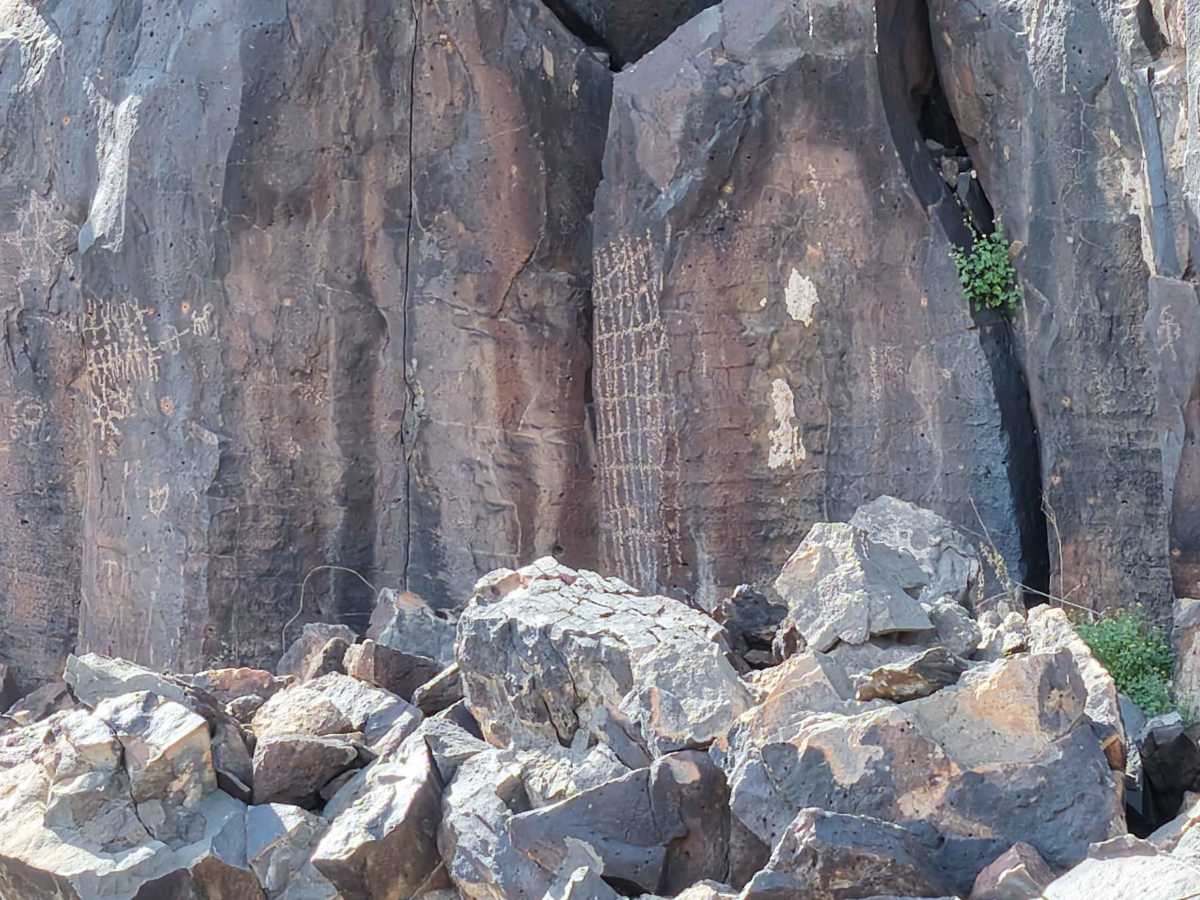
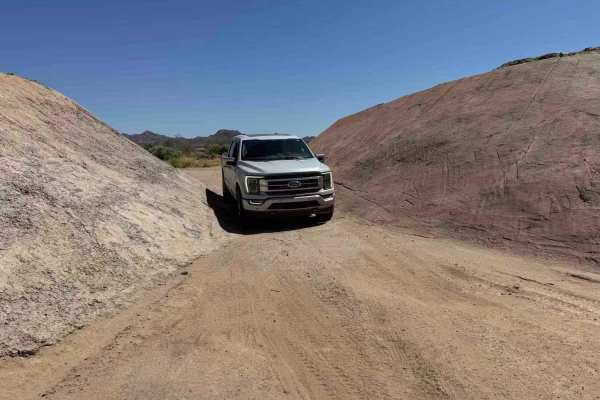
This short 1-mile trail begins at Agua Caliente Road and follows the east side of the Arlington Canal, ending on the north side of the Gillespie Dam. Rated 1/10, it's an easy drive with only minor ruts and occasional washouts that may deepen after heavy rains. The real highlight isn't the terrain - it's what many drivers miss. As you follow the canal south, look across to the west hillside near the upper ridgeline. If you're not paying attention, you'll drive right past a collection of petroglyphs etched high into the slope. They're easy to overlook, so slow down and scan the hillside carefully. This is a quick, peaceful trail perfect for beginners, families, or anyone wanting a short scenic run with a hidden historical reward. Best enjoyed during cooler months, or after checking for recent rains. Notes: Watch out for washouts after the monsoon season. Stay on established trails and respect historical sites. Do not approach or disturb petroglyph areas.
Difficulty
This beginner-friendly trail follows a mostly flat canal road with minimal obstacles like light ruts or occasional soft sand. There are no rock obstacles or technical climbs, and most stock 4x4s and SUVs with decent clearance can handle it in dry conditions. After monsoon rains, washouts and soft spots may develop. It’s ideal for beginners, families, sunset drives, and petroglyph hunters.