Trail Overview
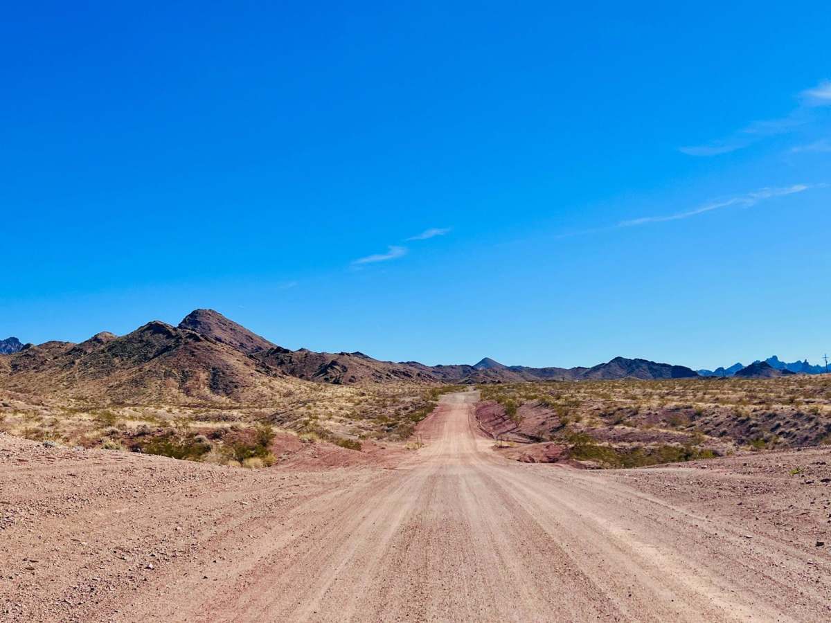
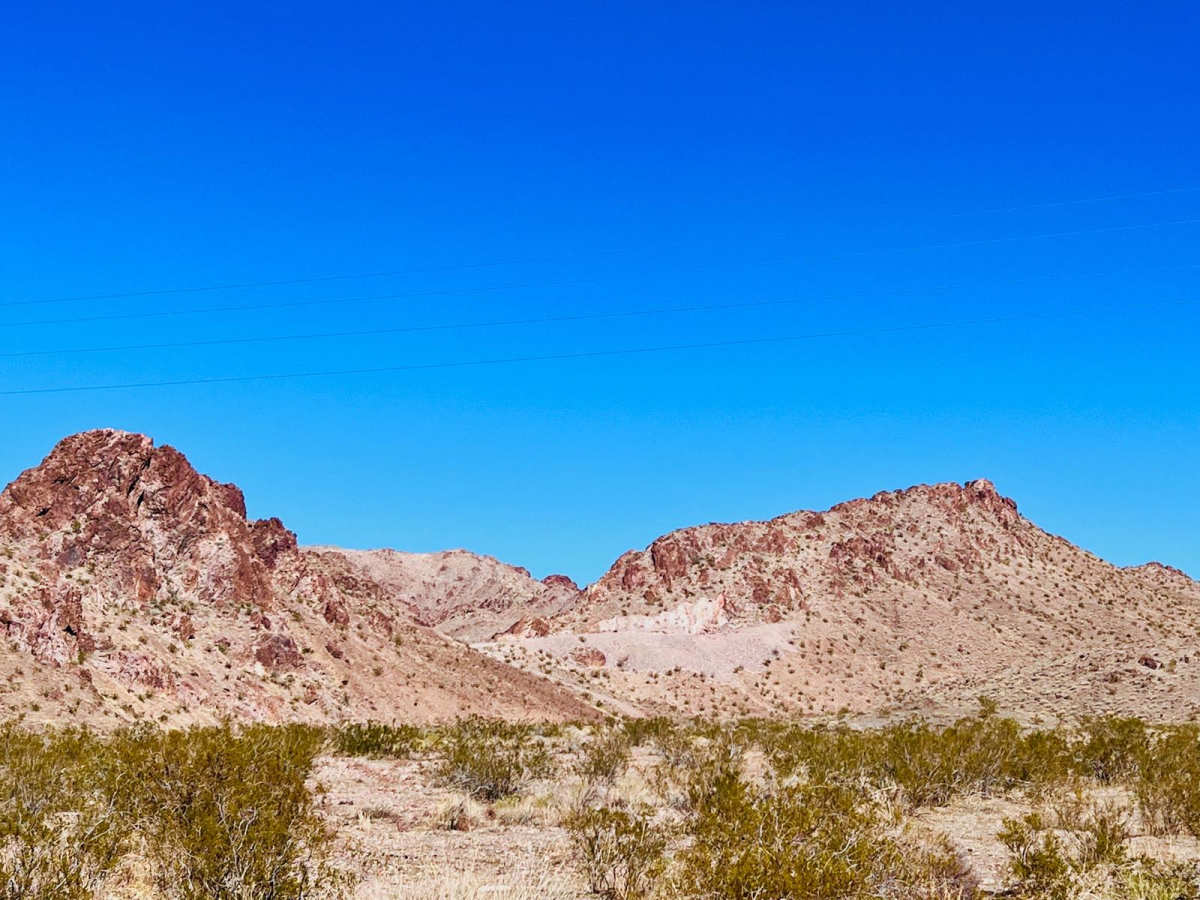
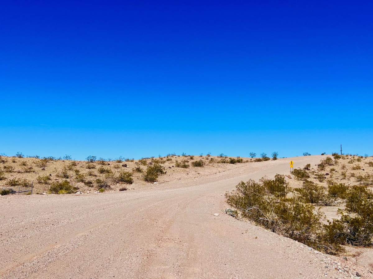
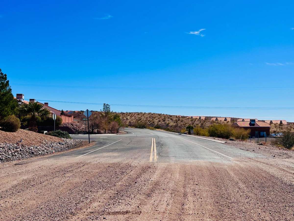
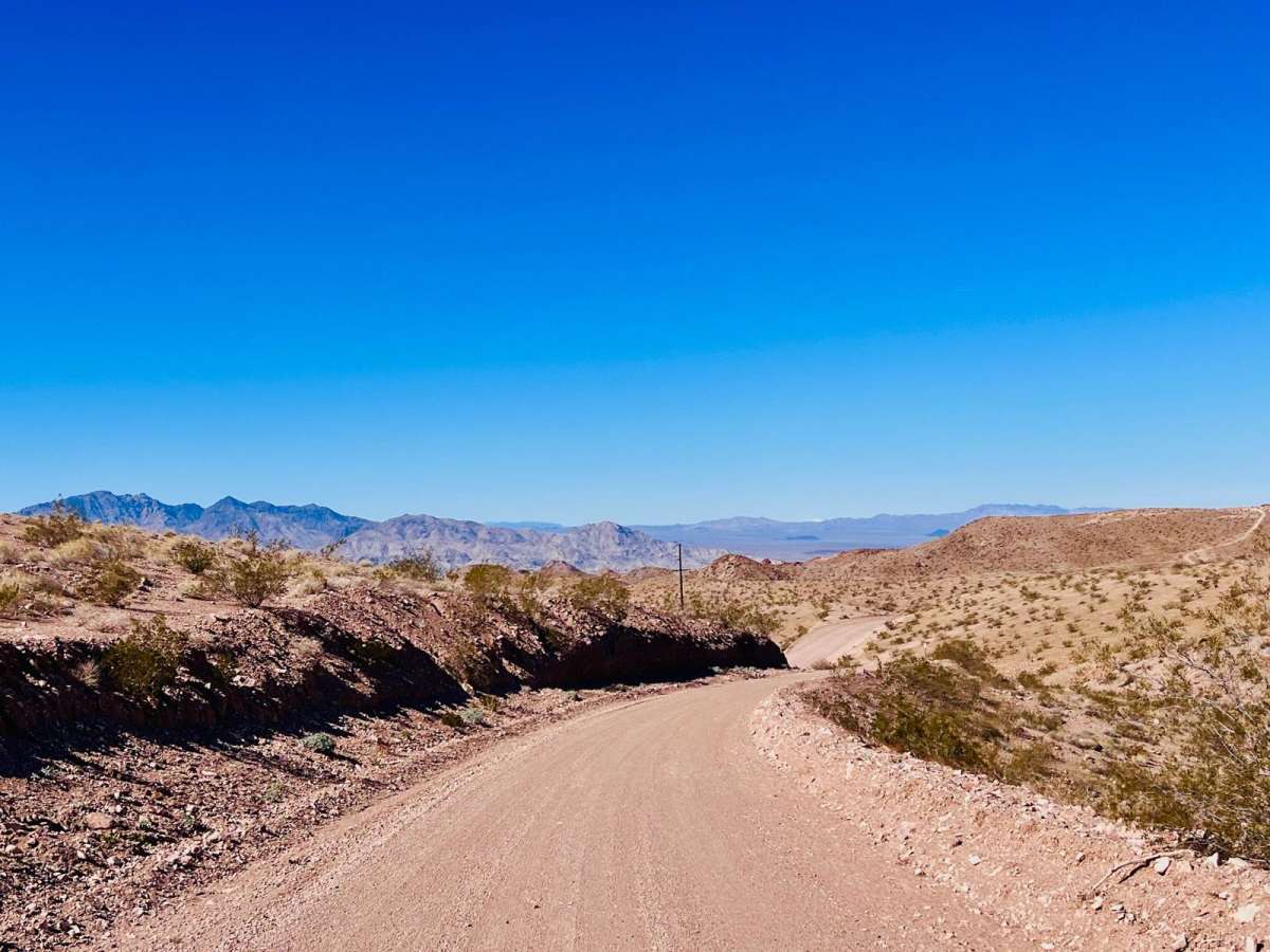
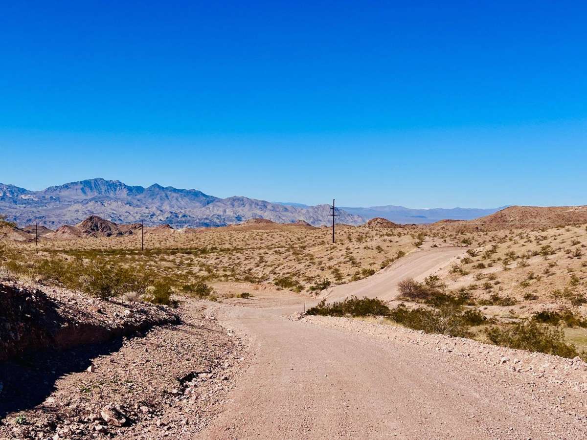
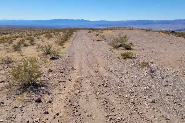
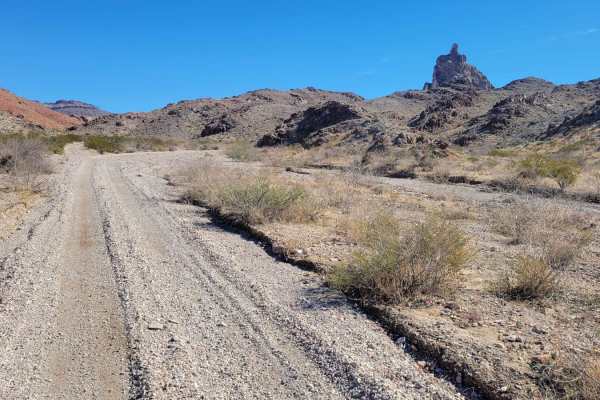
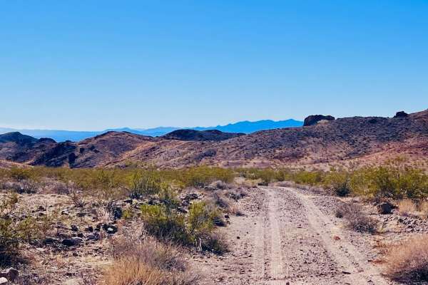
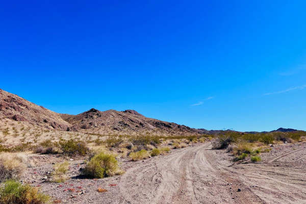
This excellent point-to-point trail picks up off Highway 68 From the Katherine Heights Townhomes complex. The trail begins behind the neighborhood. The trail heads north through some mountains and then turns west towards the Colorado River. This area is heavily used and shows signs of regular grading and trail maintenance. Any passenger car can use this trail. This trail has one narrower section with a couple of turns in the mountain section. There are pullouts on either end of this section. Otherwise, this trail is nice and wide. The trail's west end turns into a paved road and will eventually come out at the Katherine Landing Entrance into the Lake Mojave National Recreation Area. The official trail ends where the pavement begins. There are many other 4x4 trails off of this Kathering Mine Trail. One of the more popular is the Tyro Mine trail. The name Katherine Mine Trail is oddly deceiving as there are no large mines off of this trail. There are some dispersed campsites in the area, and target shooting is on the BLM land in the area. This area is BLM land; it borders the Lake Mead Recreation Area. Within the Lake Mead Recreation Area, federal regulations prohibit motor vehicles except on park roads and parking areas. This area can also get extremely hot in the summer months. Bring extra water and supplies if traveling during the summer.
Difficulty
This is a well-maintained graded dirt road. There is one twisty section through some mountains, and the route narrows down to one car for that section, so passing would be more difficult. Otherwise, the trail is two cars wide.