Trail Overview
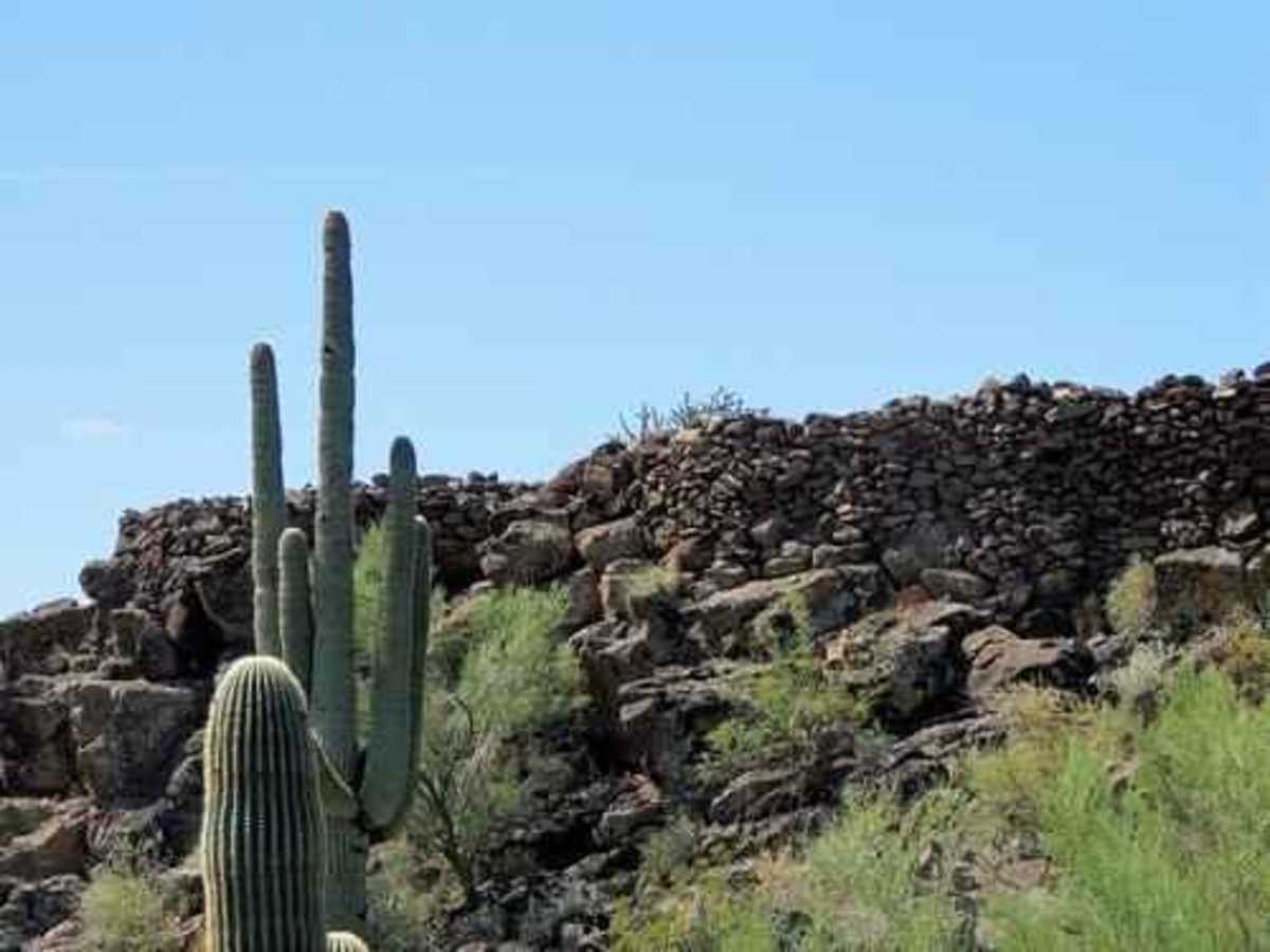
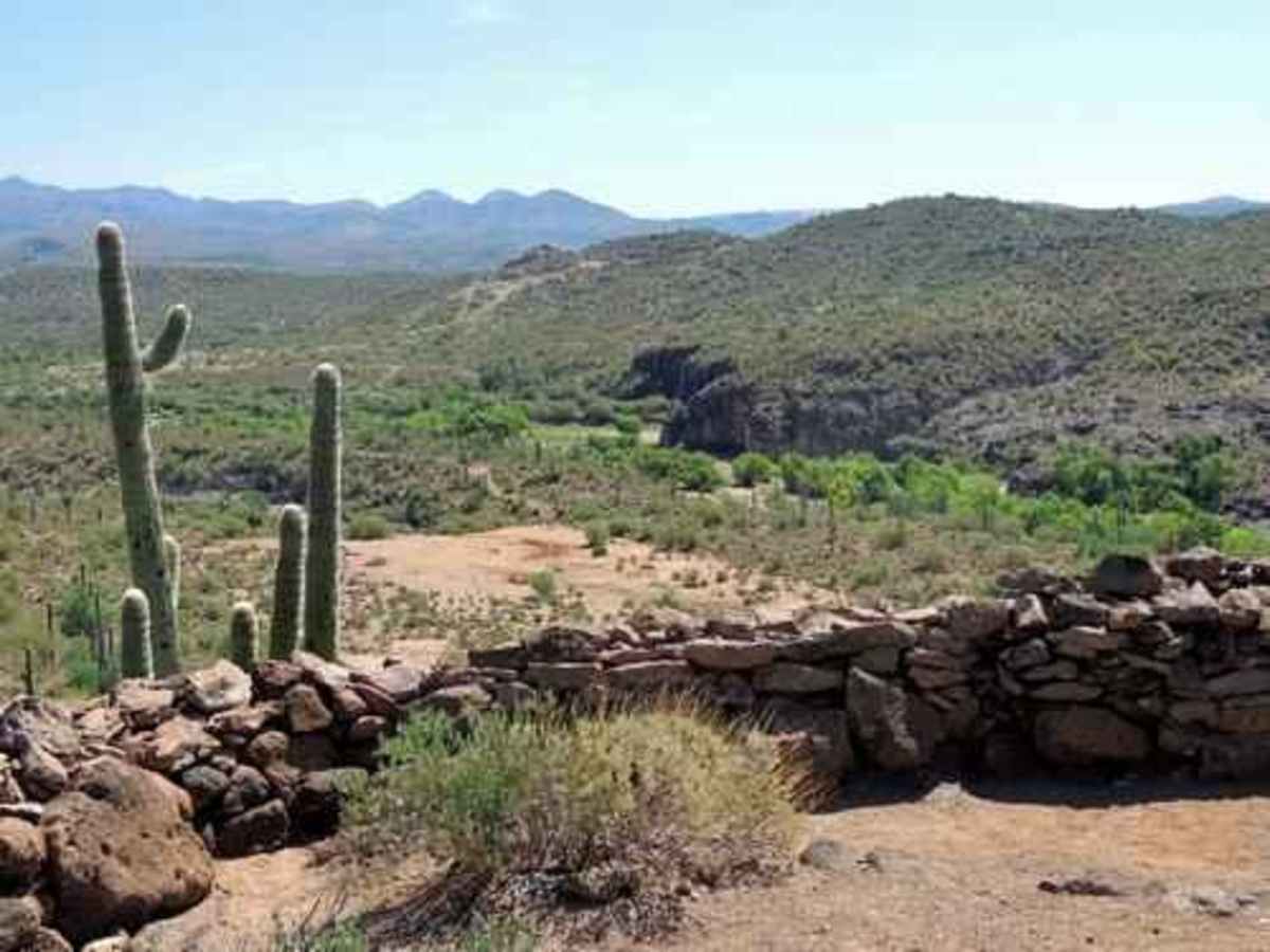
The Indian Fort trail is an approachable yet scenic 1.1-mile loop located in Yavapai County, Arizona, perfect for stock SUVs and high-clearance four-wheel-drive vehicles seeking a quick historic excursion. This route branches off Azco Mine Road near Cottonwood Gulch and takes drivers to the base of a small hill where a quick scramble leads to the historic stone wall ruins of an ancient Native American fort. Boasting a technical rating of 3, the trail consists primarily of a single-vehicle-wide dirt track with minor ruts, loose rocks, and shallow sandy washes. Elevation along the loop remains relatively low, between 1,780 and 1,926 feet with a modest cumulative gain of about 145 feet though drivers will encounter some short, steep grades and small ledges up to 12 inches high.
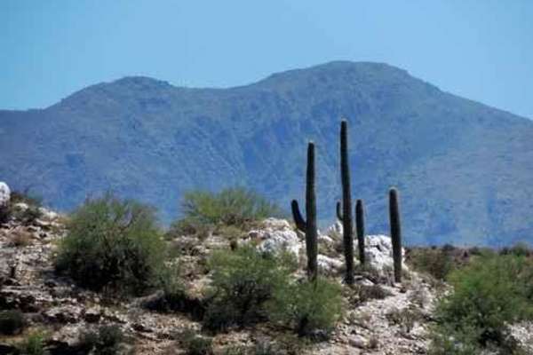
Navigating this short loop offers expansive views of the surrounding Black Canyon area, including the Agua Fria River and Moore Gulch to the east. While the trail can be completed in under thirty minutes, it is best enjoyed as a side excursion when combined with other nearby routes in the Table Mesa recreation area, such as exploring the nearby Gillette Ruins. High-clearance vehicles will easily handle the potential for minor mud holes and shallow water crossings, which typically remain under a foot deep depending on seasonal rains. Since the trail is narrow with limited spots to pass, keeping an eye out for oncoming traffic is recommended, especially during peak riding seasons in the cooler fall, winter, and spring months.
Difficulty
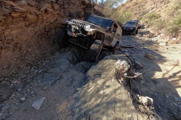
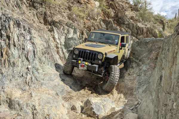
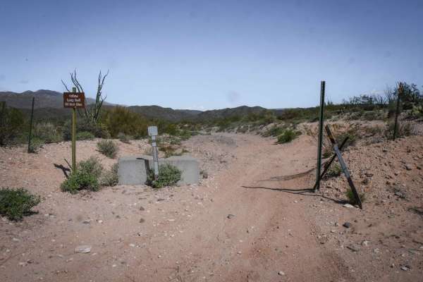
Uneven, rutted dirt trail with potential for loose rocks and sandy washes. Water crossings less than a foot deep. Potential for mud holes and trail obstacles up to 12", including ledges and short, steep grades. Roads are typically one vehicle wide with places to pass.