Trail Overview
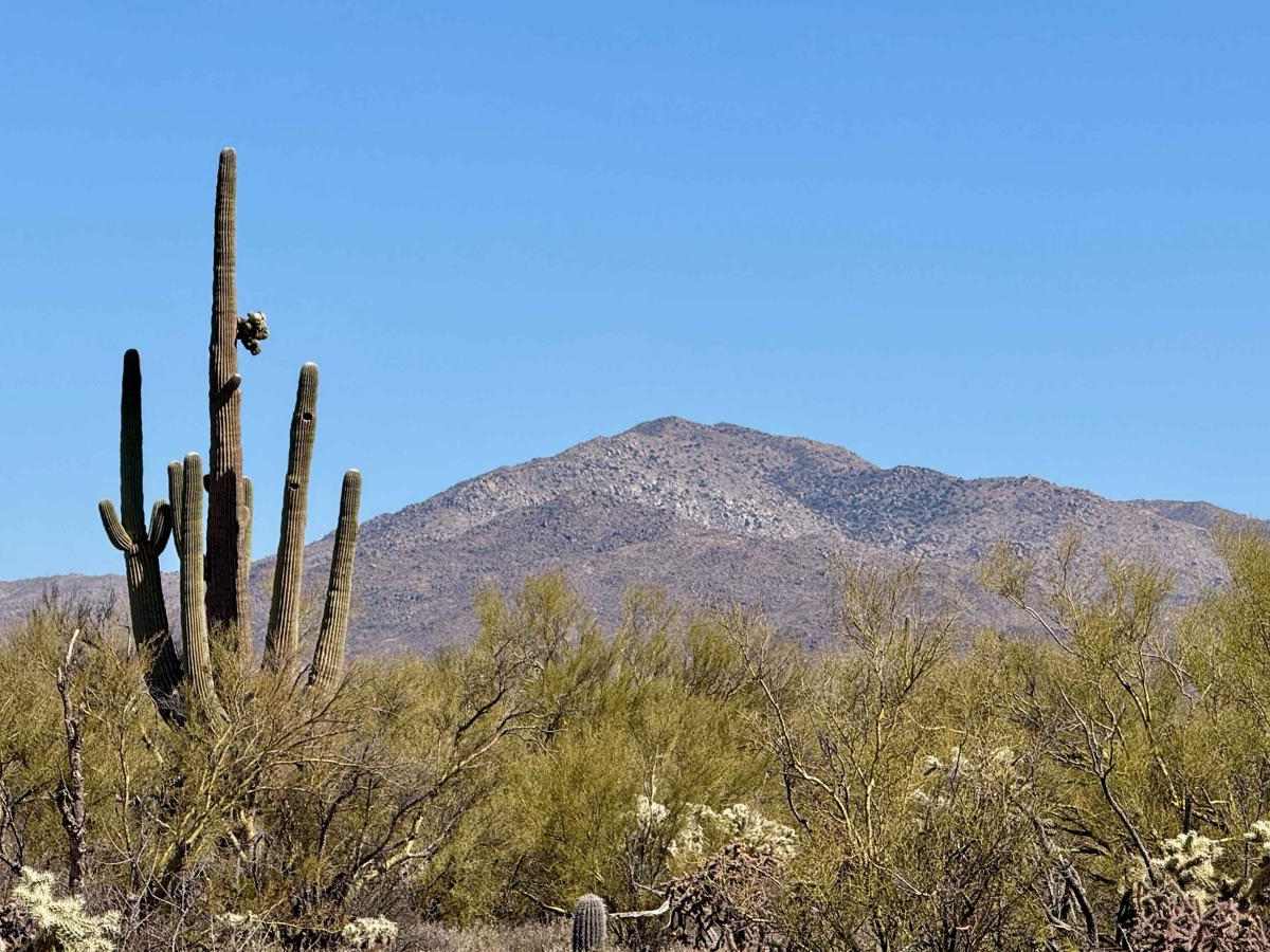
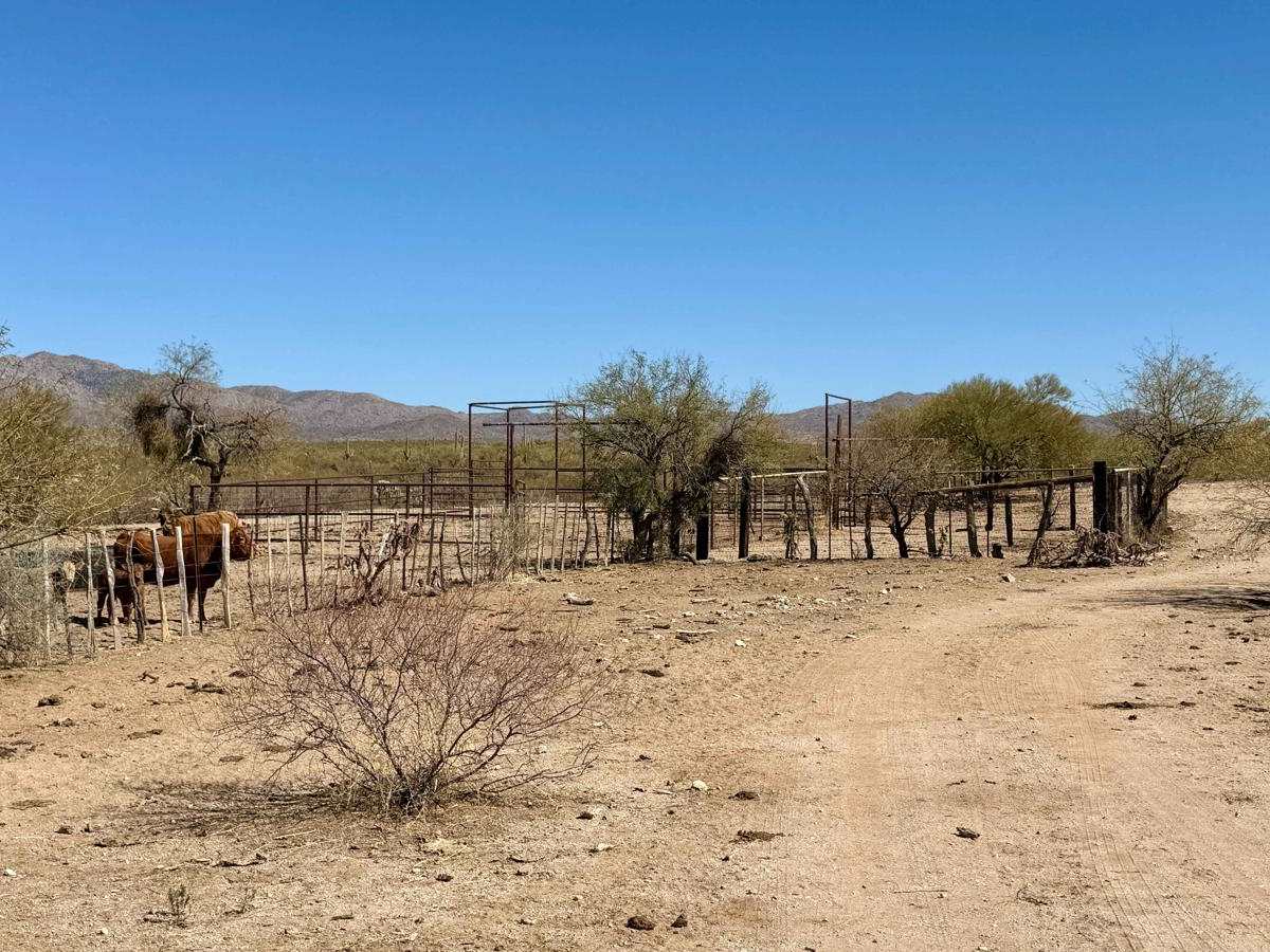
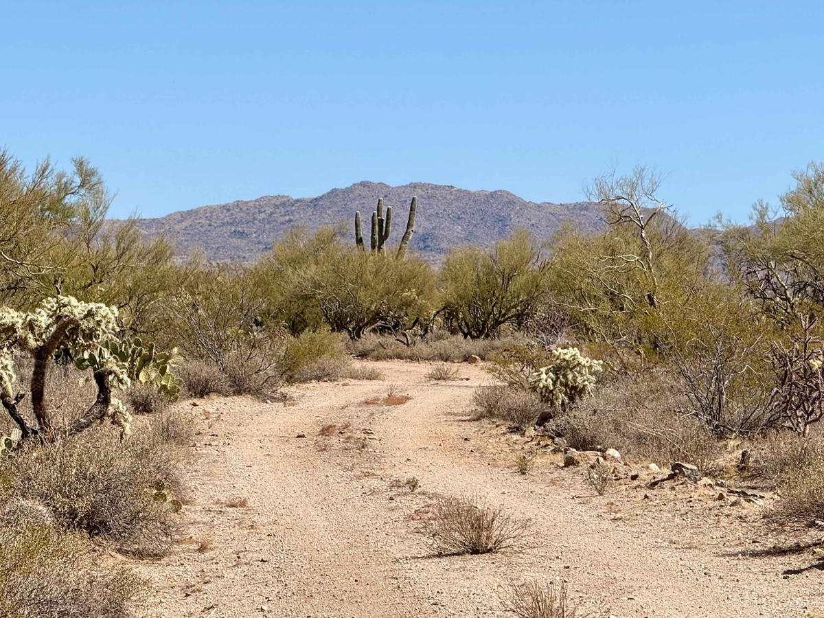
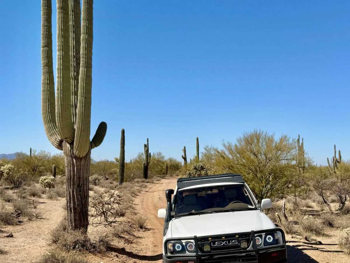
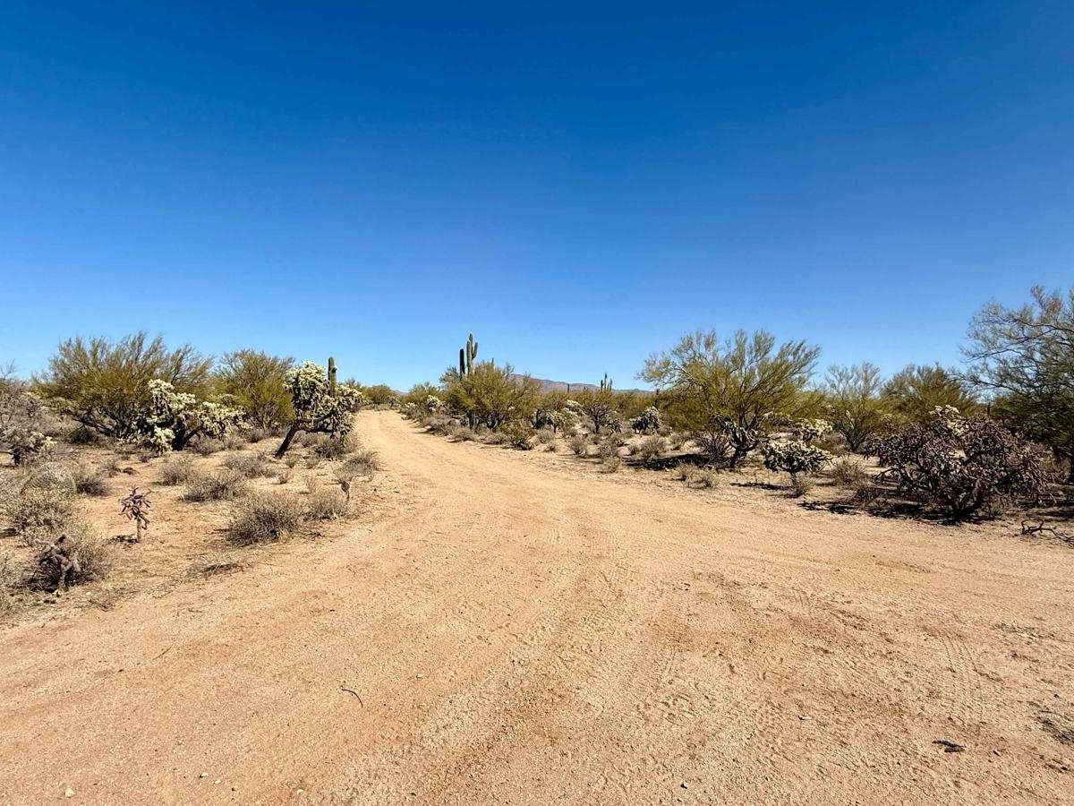
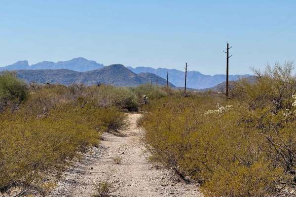
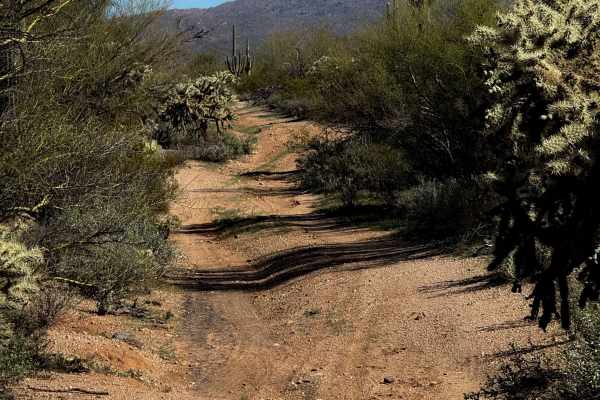
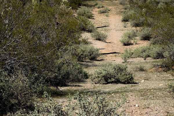
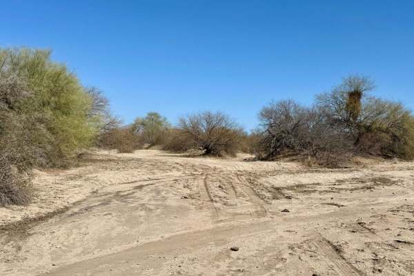
Hit Tank is a short and sweet cut-over trail that leads you past the Hit Tank, a favored watering hole for the local bovines. This area is a popular hangout, often filled with cows enjoying a refreshing drink of water, adding a lively element to your exploration.While this trail doesn't offer many designated dispersed camping spots, it compensates with beautiful vistas of Black Mountain, framed majestically by the towering arms of massive saguaro cacti that line the path. The striking desert scenery enhances the experience, making it an excellent spot for a quick stop or a scenic photo opportunity. The trail itself is easy to navigate, marked by sections that maintain two to three bars of LTE cell coverage, allowing you to stay connected during your adventure. While it features only one wash crossing, the path is generally narrow, so be prepared to pull over in certain spots to accommodate oncoming traffic. Important Note: Before you set off, remember to take the necessary precautions when traveling through the desert. Ensure you obtain your Arizona State Land Trust permit for access to the area, and always bring enough water and supplies to support your journey.
Difficulty
This trail is rated as a 2, reflecting its generally easy conditions, though it is narrow in parts and requires attentiveness for the single wash crossing, with options to pull over for oncoming traffic.