Trail Overview
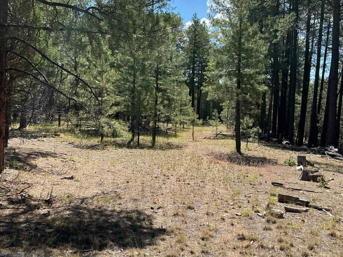
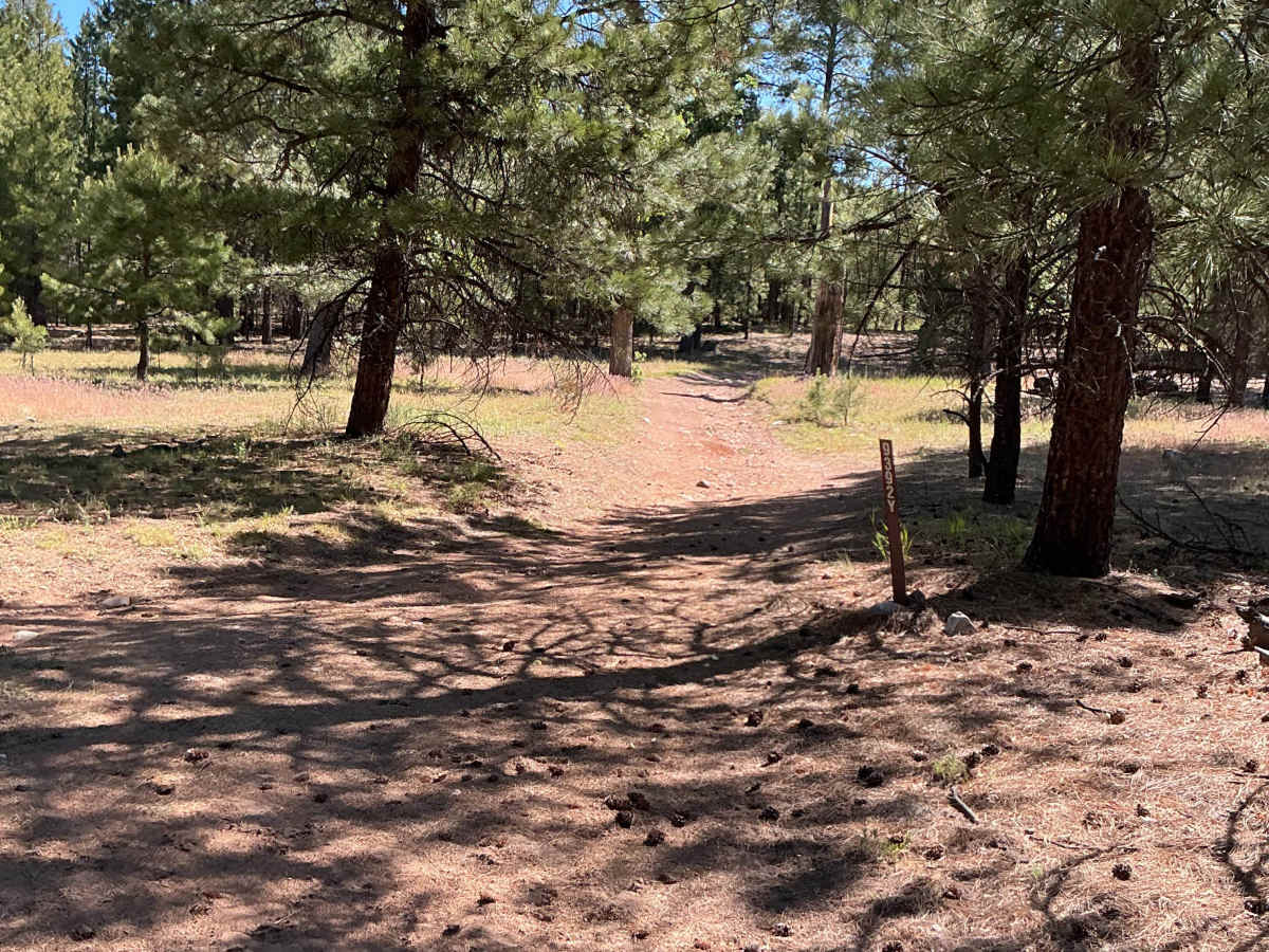
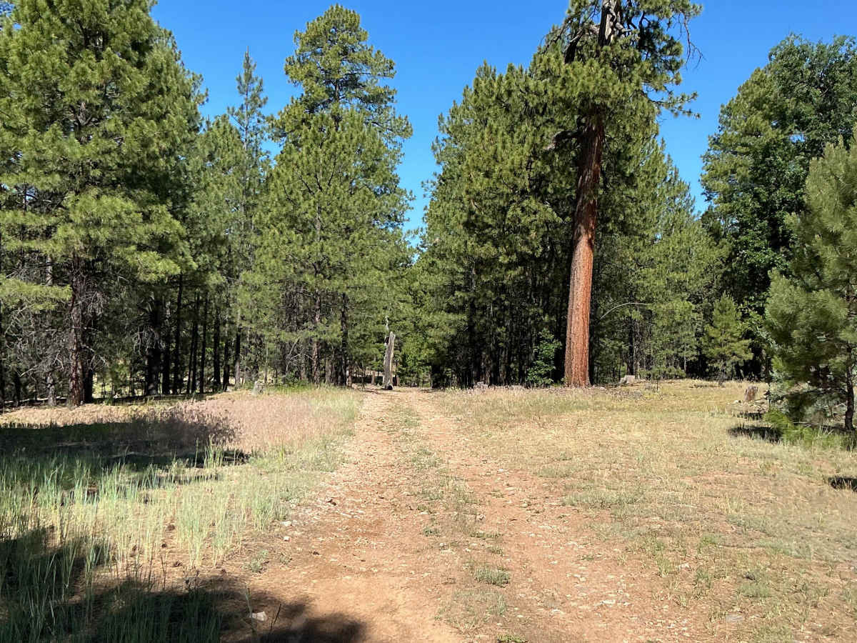
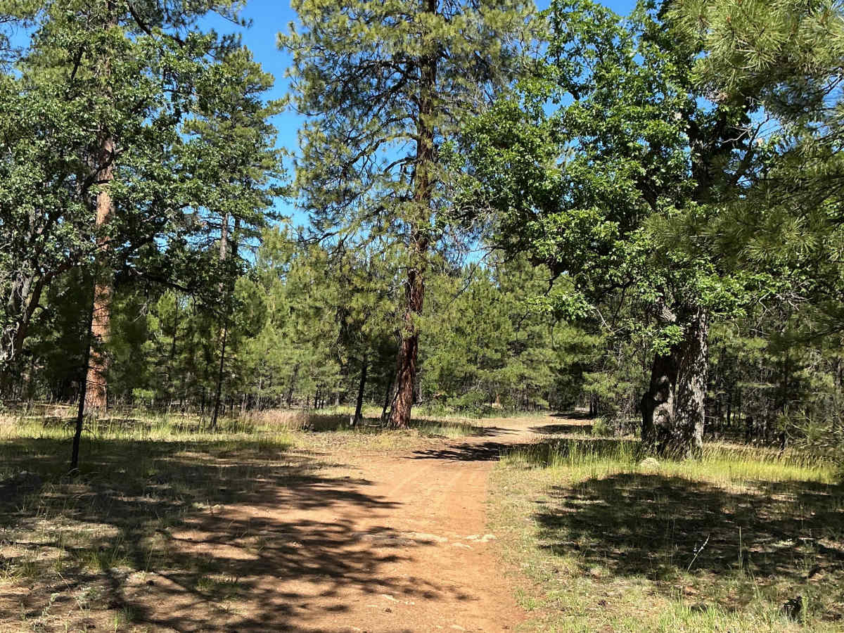
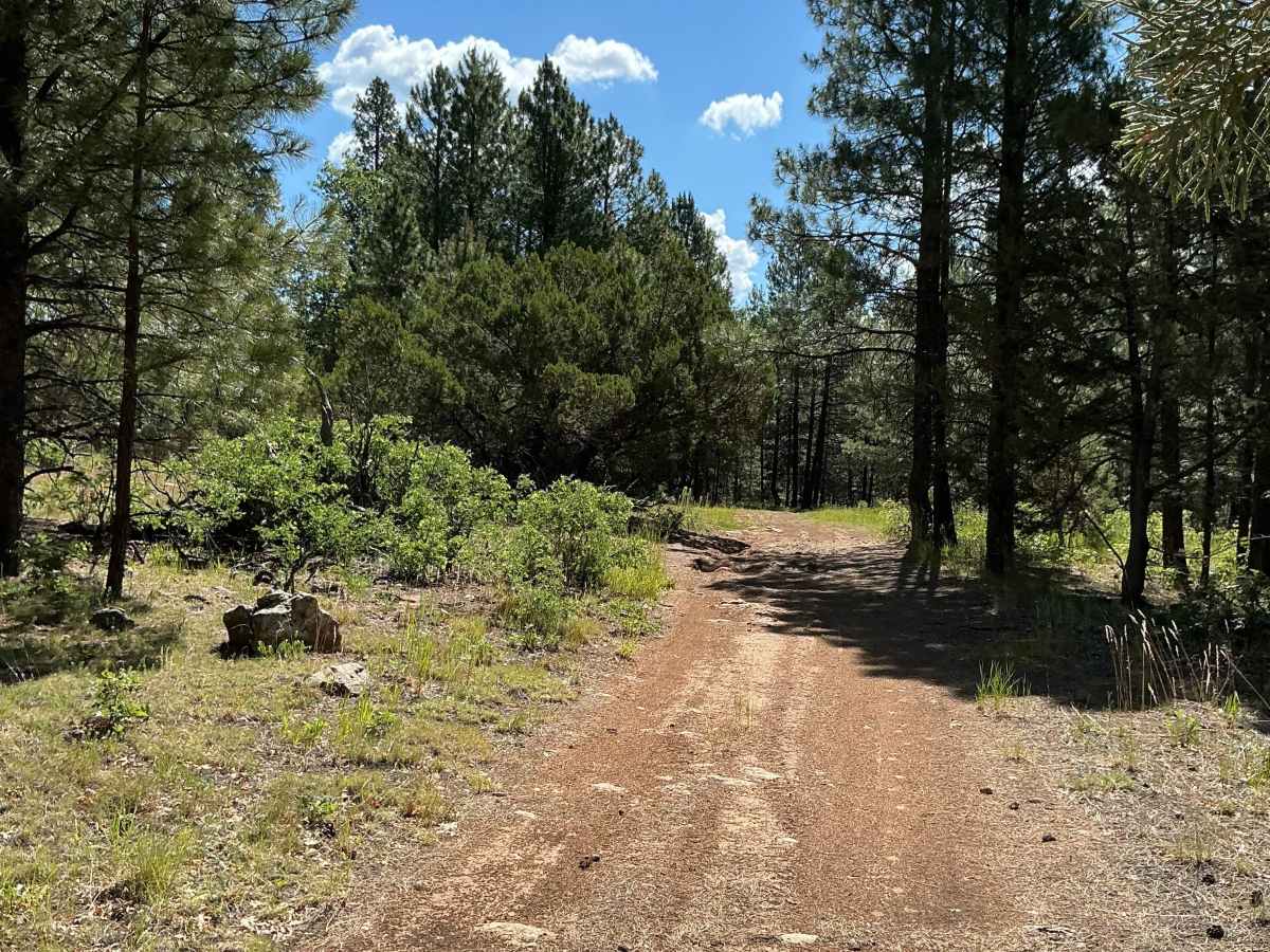
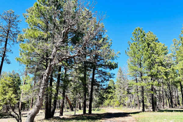
Forest Service Road 9392Y is just short of 1 mile long and was mapped from west to east. The first section of this trail is fairly laid-back with a few small rocky and rutted sections as it heads east through the forest. Early along the route, the trail passes a large log that partially encroaches into the trail corridor.
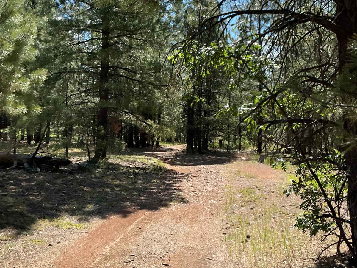
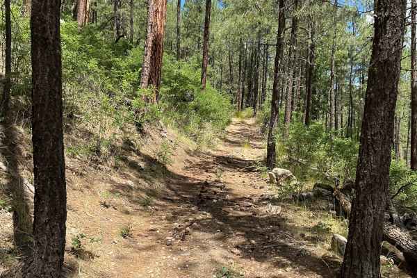
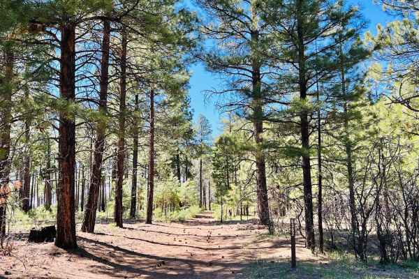
After passing the log, the route becomes extremely faint and difficult to follow. In several areas, navigation can become nearly impossible without the aid of the onX Offroad app. Thick trees and vegetation close in tightly around the trail, creating an extremely narrow corridor that may be difficult for some full-sized 4x4s to navigate without body contact from brush or branches.
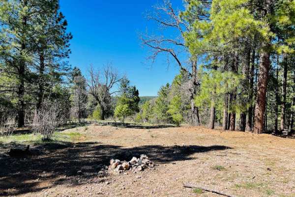
Near the end of the trail, the route travels alongside the West Clear Creek Wilderness on the left side. Shortly after passing a fence marking the wilderness boundary, the trail completely disappears. The turnaround area at the end of the route is extremely tight and limited in space.
Difficulty
Expect a narrow, faint, and overgrown trail with rocky and rutted sections. Navigation can be difficult without GPS/App guidance. Full-sized vehicles may encounter heavy vegetation contact, tight maneuvering, and limited turnaround space near the end of the route.