Trail Overview
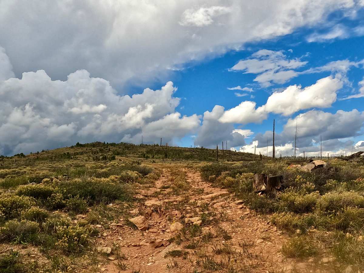
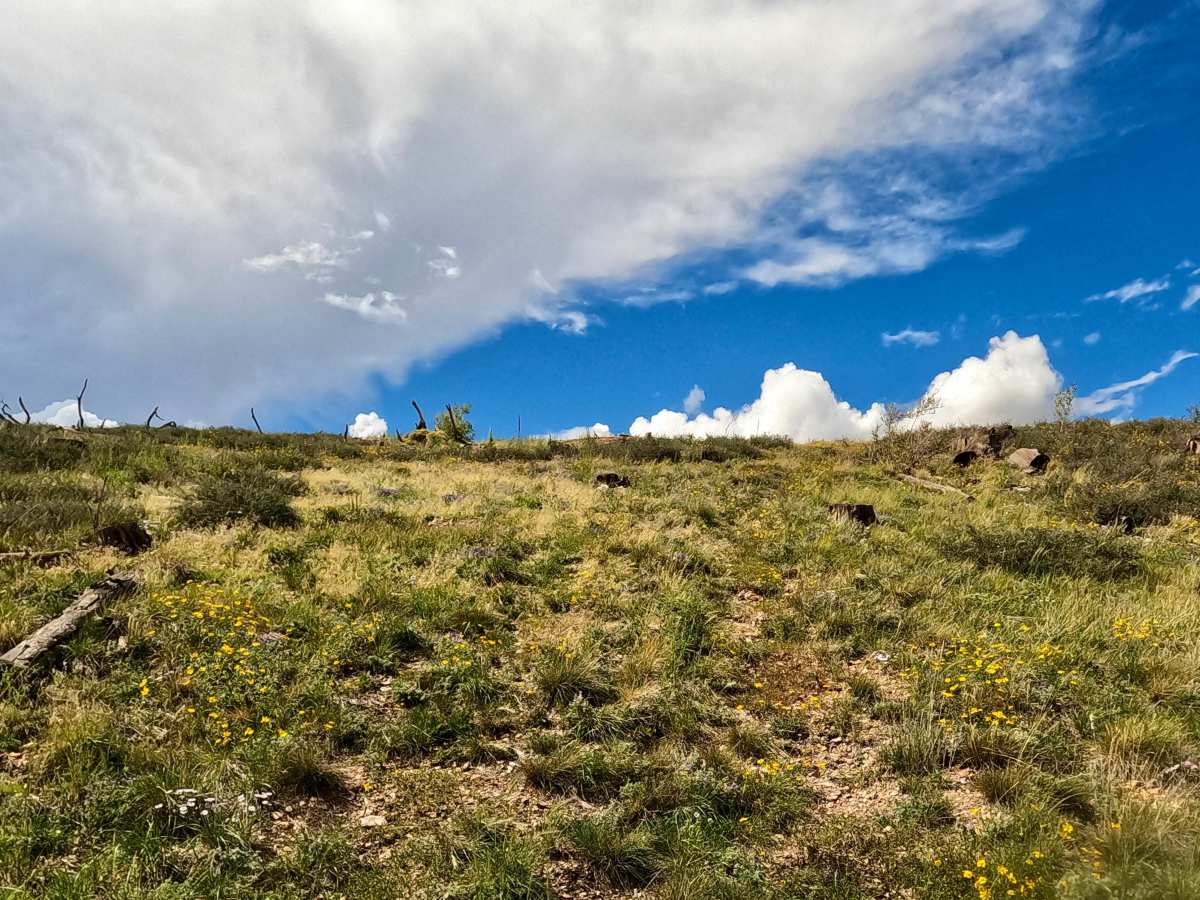
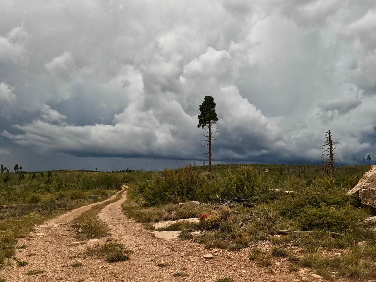
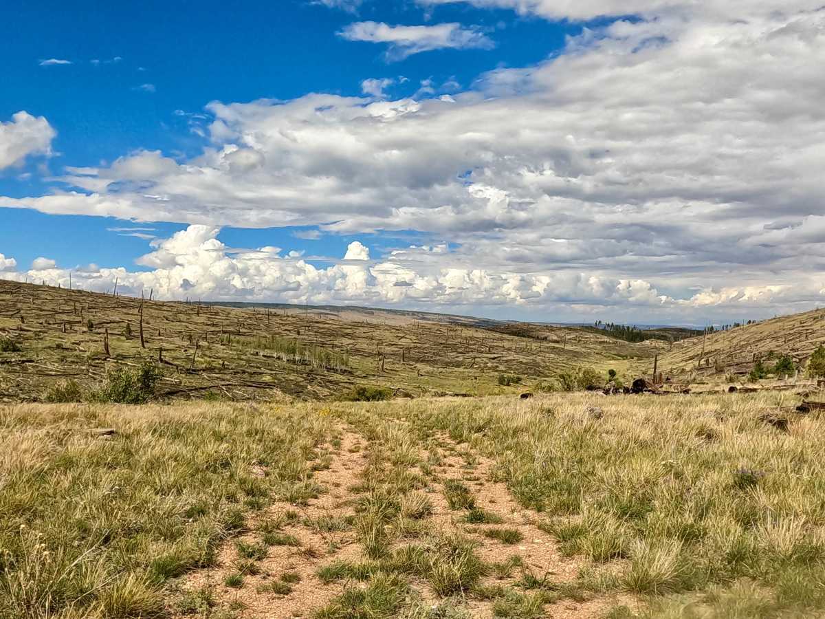
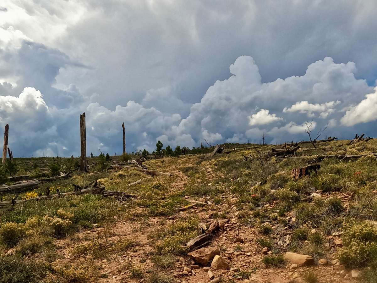
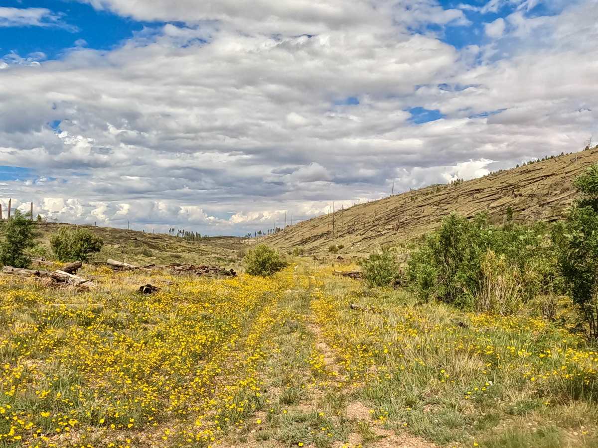
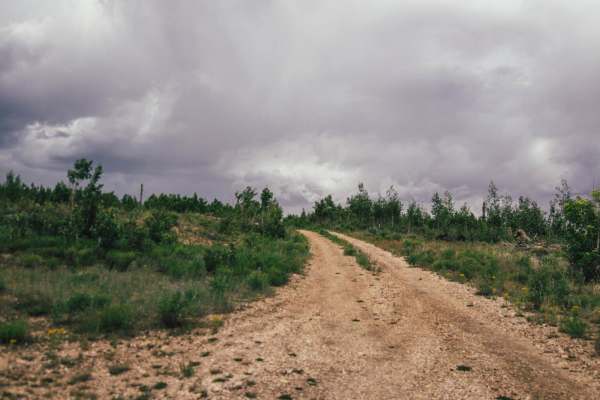
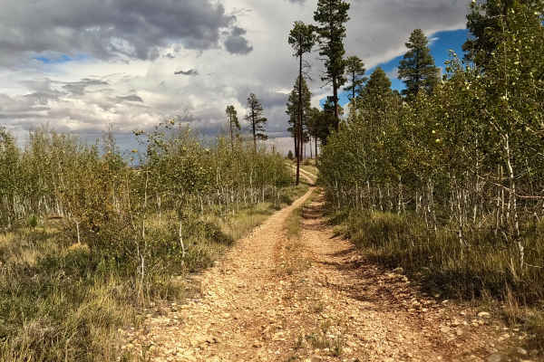
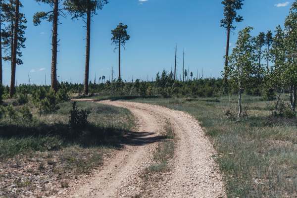
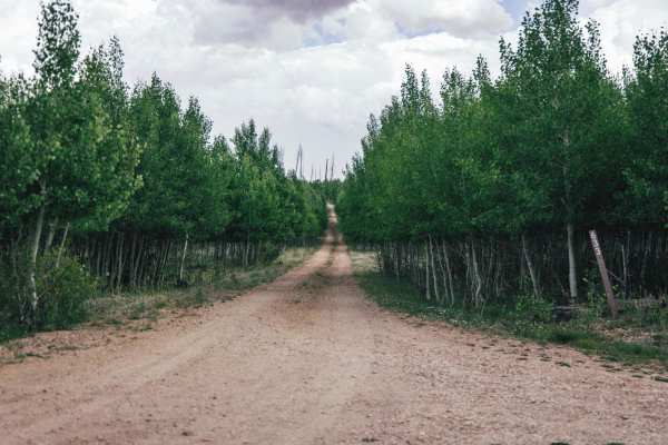
This loop trail begins at an intersection off FS 633D or FS 633E and descends through a small canyon. The original track through the tighter canyon is no longer accessible, requiring a steep hill climb on loose, natural terrain where 4WD is necessary. At the top, turn north and follow the winding route to a steep downhill section that reconnects with the original track. This natural two-track trail requires high clearance to navigate the terrain and complete the loop back to the starting point. The route offers technical challenges depending on vehicle capability and driver experience, along with beautiful scenery and wildflowers.
Difficulty
This natural trail features a steep hill climb and descent with loose terrain and heavy vegetation, requiring 4WD and high clearance. The trail can become impassable in wet conditions. Technical wheel placement is necessary to navigate around downed trees and the washed-out hill climbs near FS 4171, where heavy vegetation makes the trench difficult to see.