Trail Overview
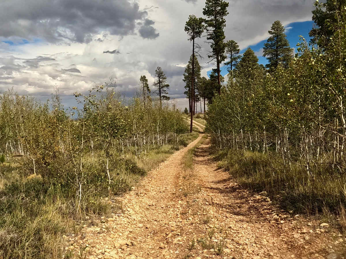
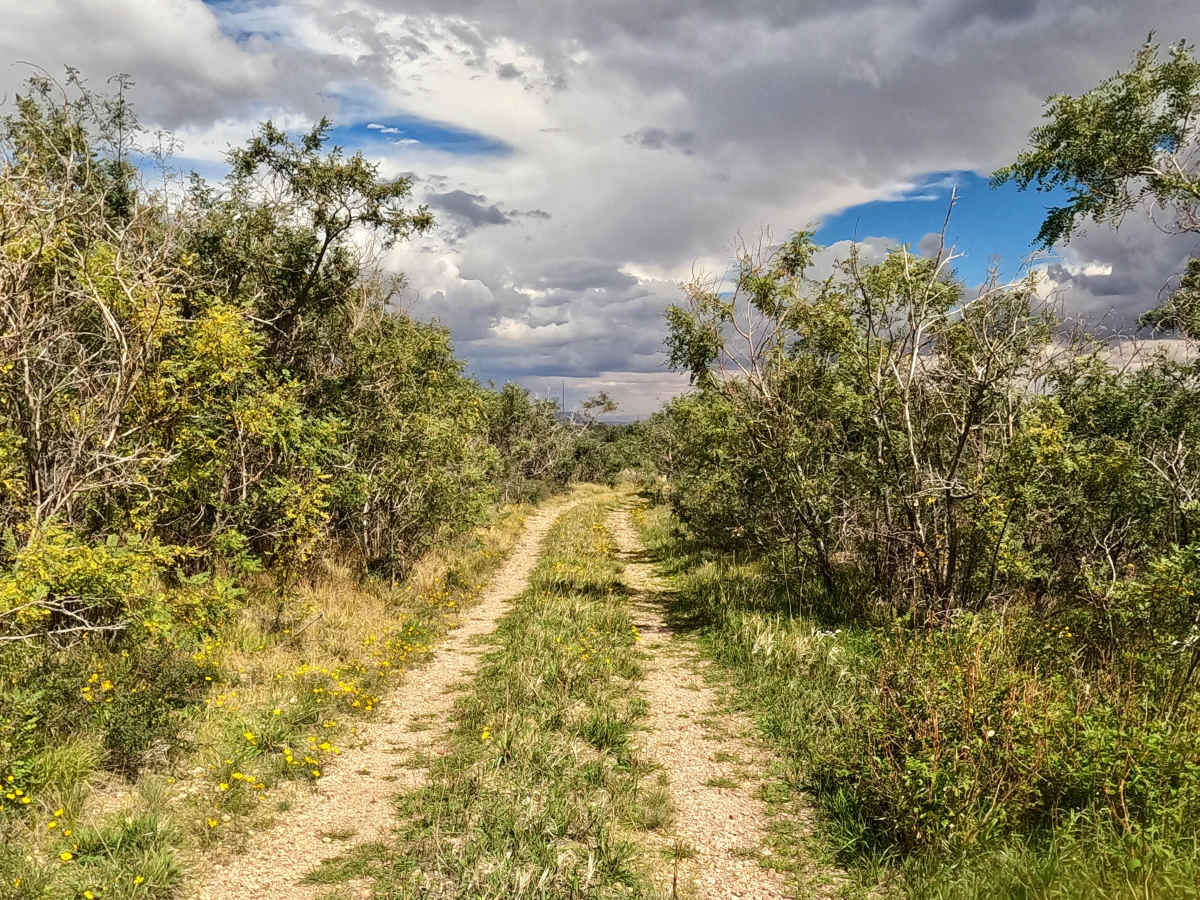
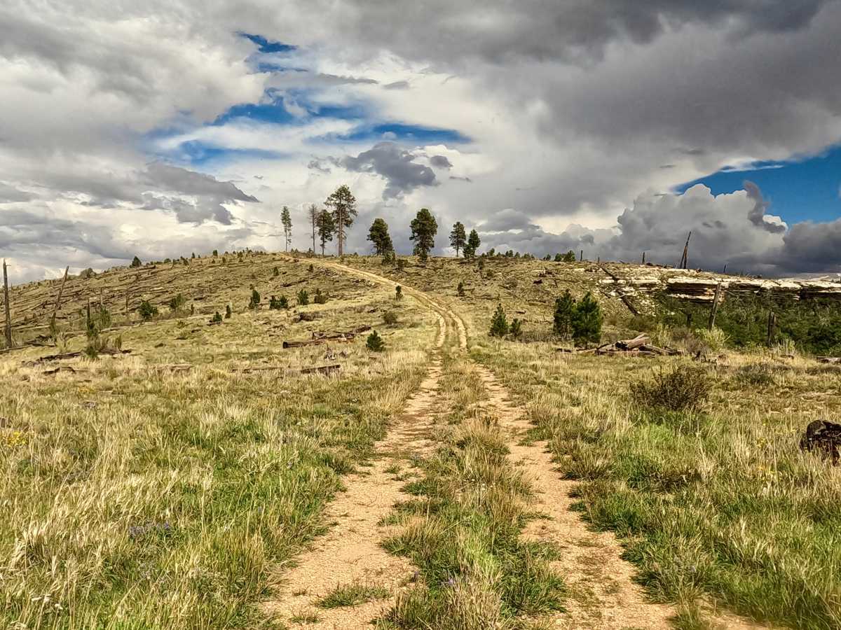
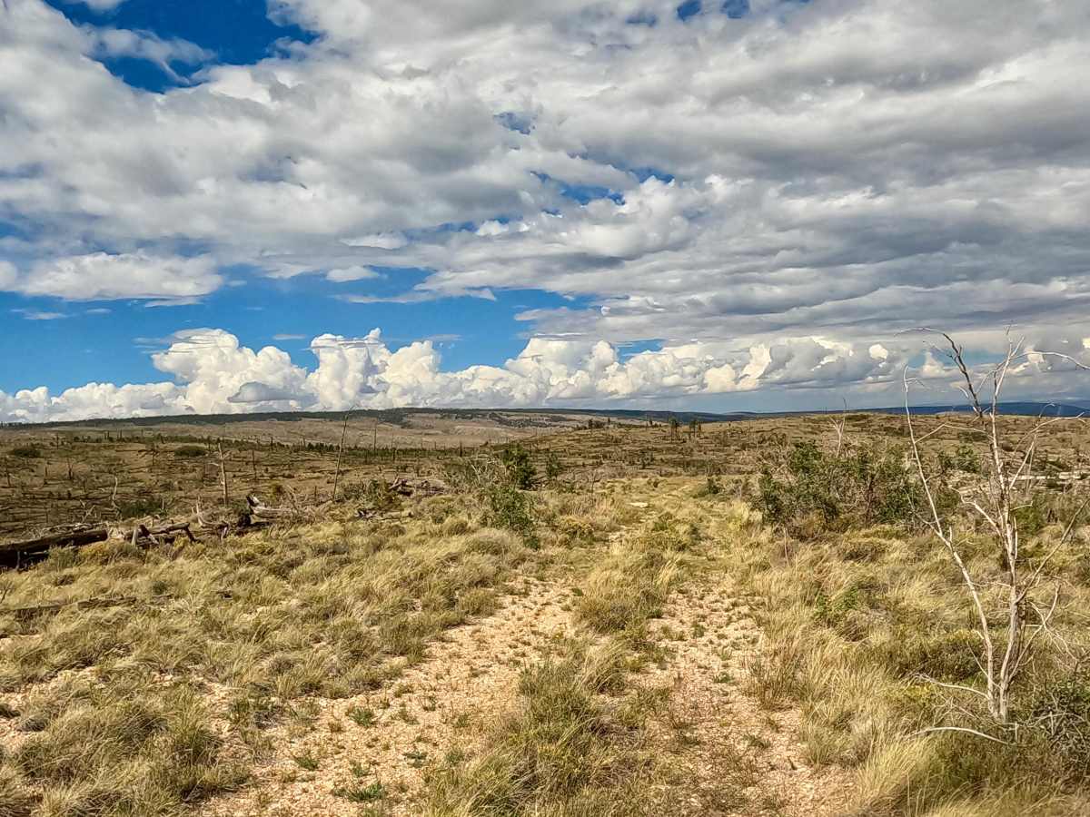
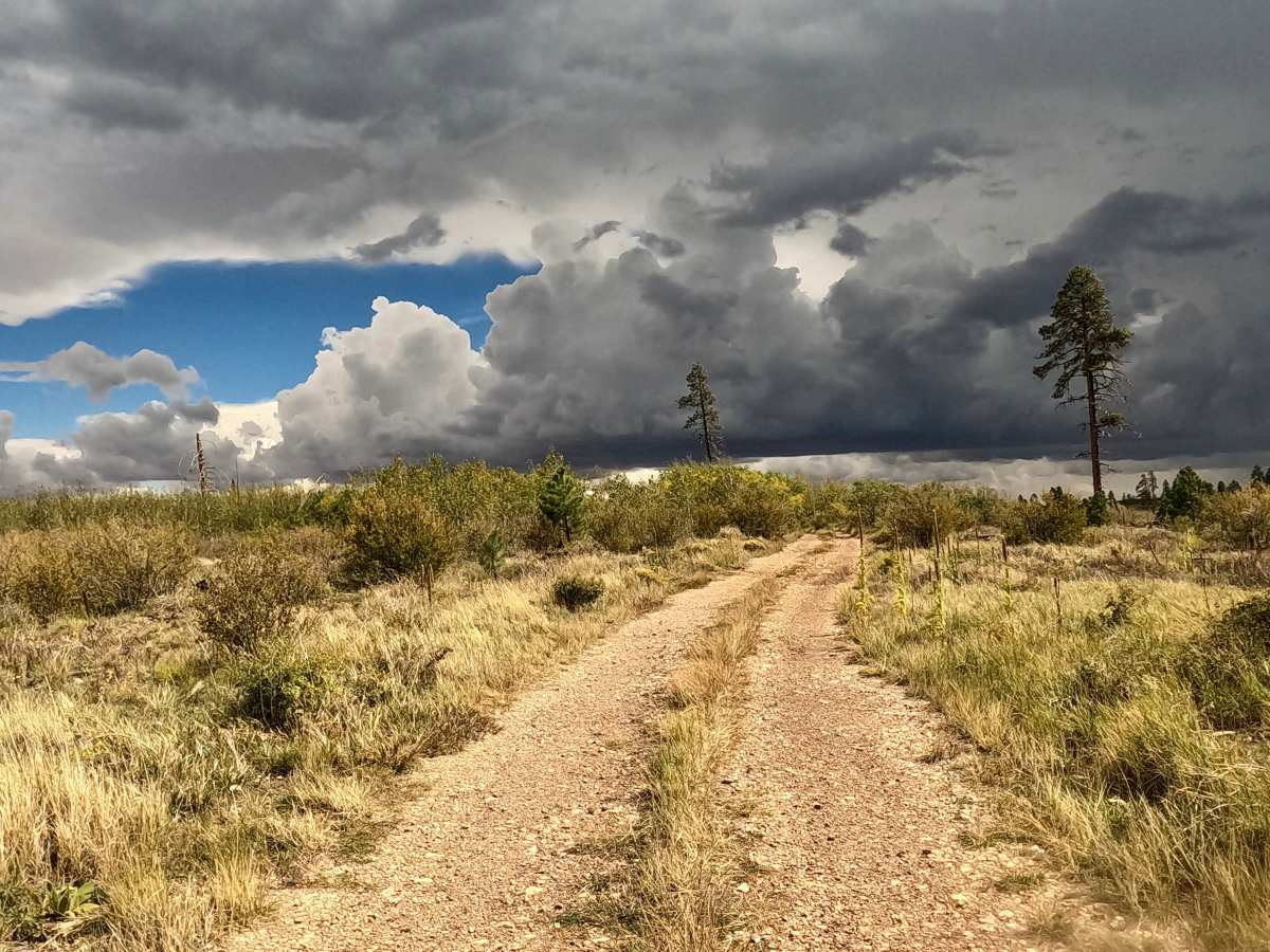
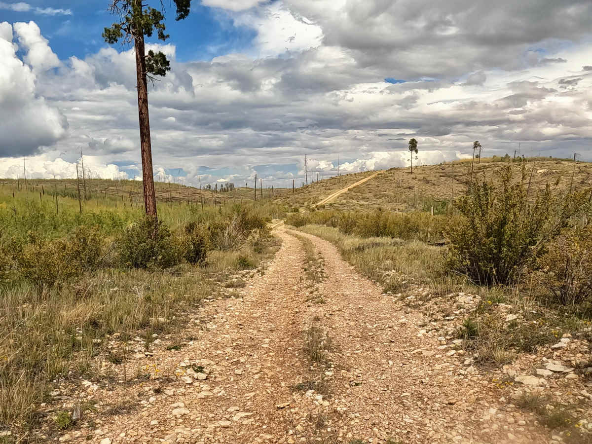
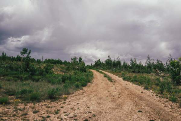
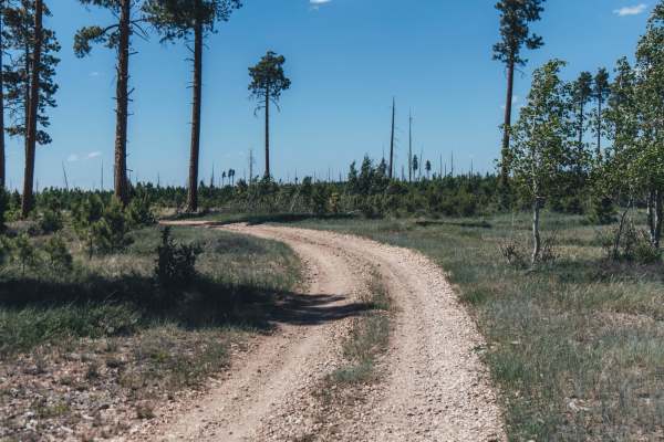
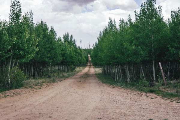
FS 633D starts at FS 633E and makes a left at the intersection to run northeast to FS 633E. The trail is a point-to-point, two-track gravel trail with grass growing down the center of the track. This trail runs through a restoration area and has several pines and a few aspens at the start of the trail and turns to more of the beginning of desert creosote and natural grasses, then back to Aspens and pines. 2WD/4WD high clearance is a plus. Few mud holes in areas. Few ruts and wash-out areas from rain, but nothing technical. Eventually, this trail winds downhill to another at the top of the next hill; vegetation gets very narrow for a short section; pin stripes expected. Then wide-open landscape. At the next intersection, stay left where the trail picks up more natural grass, then trees and lots of shrubs. The transition from forest to desert is an educational experience.
Difficulty
This trail has no obstacles or technical challenges but features ruts, mud holes, and sections of tight, overgrown vegetation. High-clearance 2WD/4WD vehicles are recommended in wet conditions.