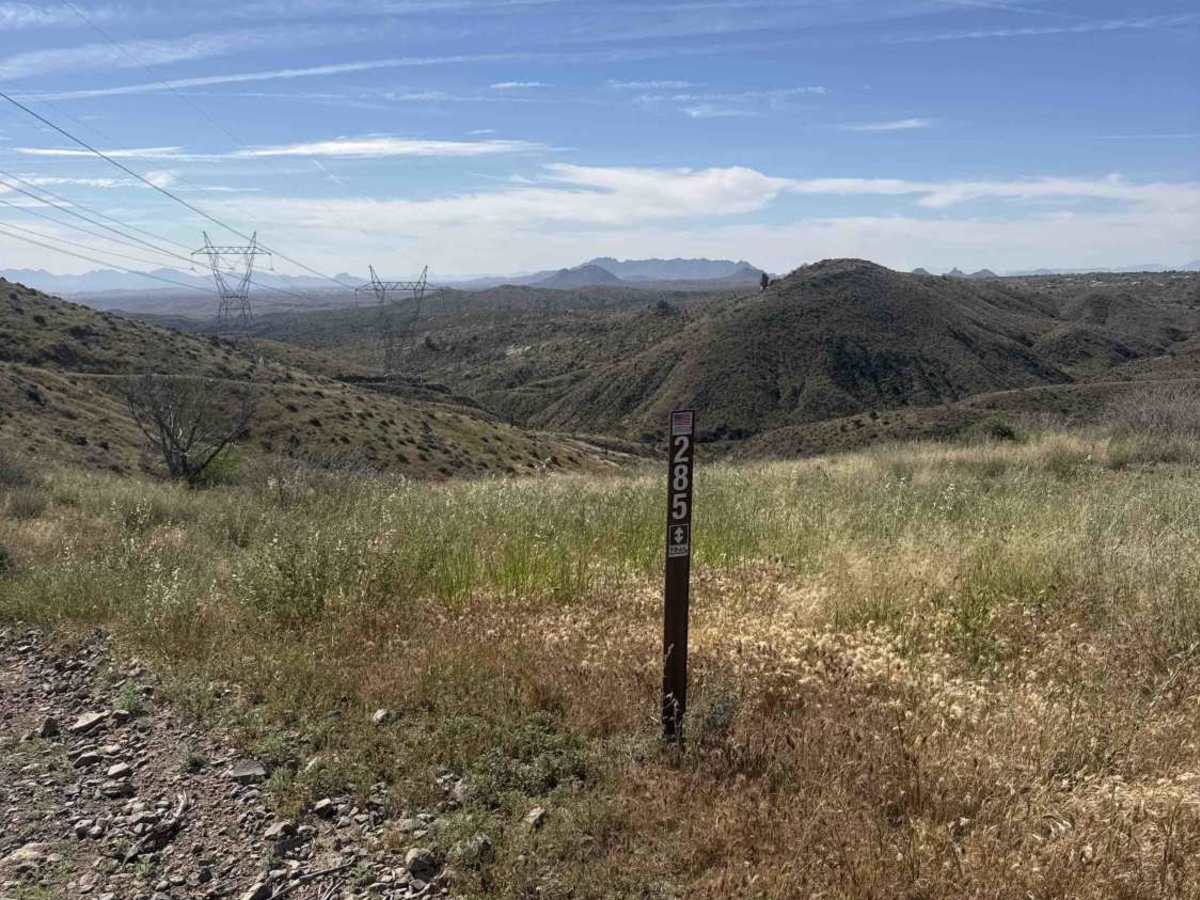
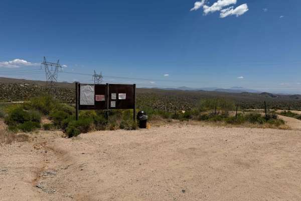
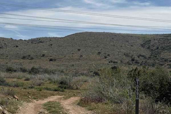
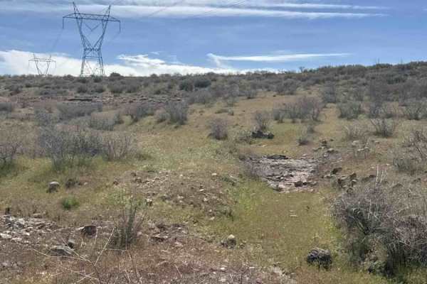
Trail Overview
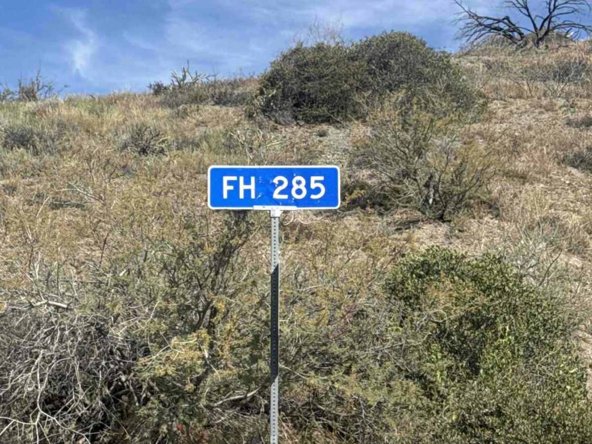
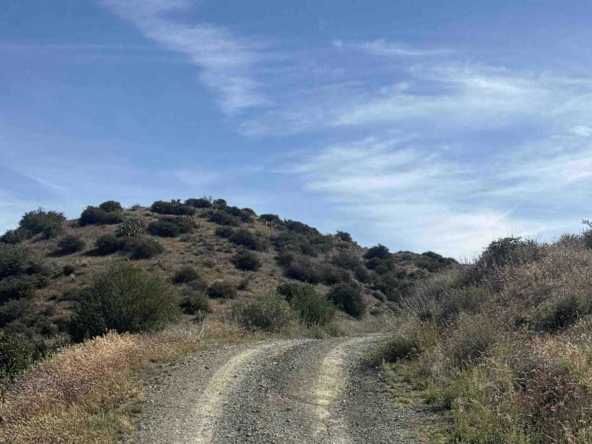
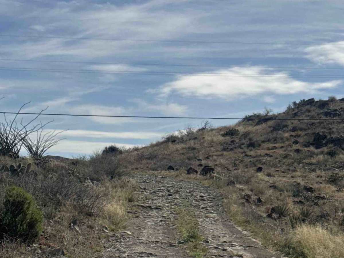
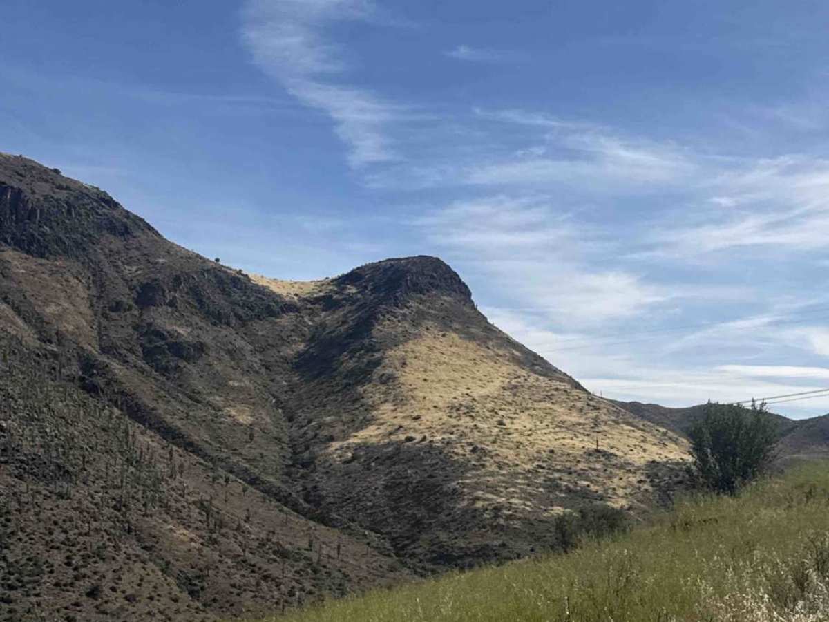
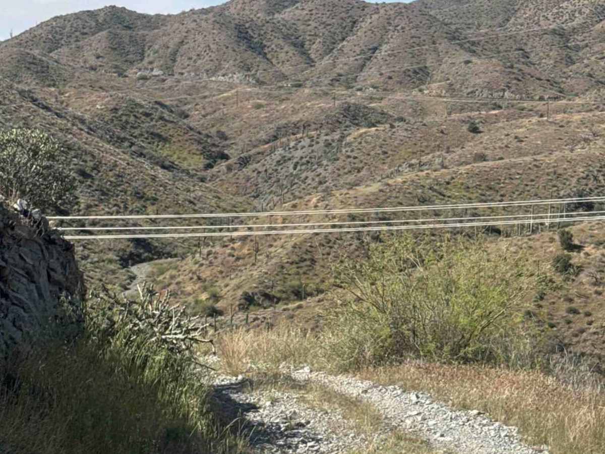
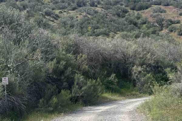
FS 285 begins off Gateway to Seven Springs and is an out-and-back gravel shelf road offering beautiful views of the valley to the south. About a quarter mile in, the gravel becomes rougher with larger rocks scattered along the trail, some reaching up to 12 inches. The route is lined with tall natural grass, prickly pear cactus, saguaros, and ocotillo, creating a classic Sonoran Desert landscape. While the terrain is bumpy with loose rock, it remains non-technical. Drivers should stay alert as the narrow trail reaches a Y junction and turns right, following powerlines down a steep, winding hill. Around 1.2 miles in, the trail shows signs of washout along the cliffside, so use caution if continuing toward the bottom. Along the way, you’ll be rewarded with excellent views of the surrounding desert and the areas of Cave Creek and Scottsdale. Camping opportunities can be found along the trail. This trail is located within the Tonto National Forest and requires a 3-day, 6-month, or annual permit available through Recreation.gov.
Difficulty
Large rocks are scattered along the trail, combined with steep hills, a narrow shelf road, and several washouts. Passing areas for oncoming traffic are limited. Rocks up to 12 inches.