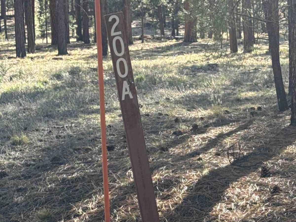
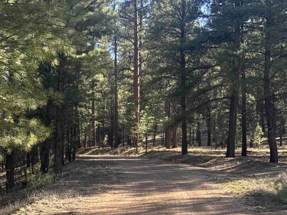
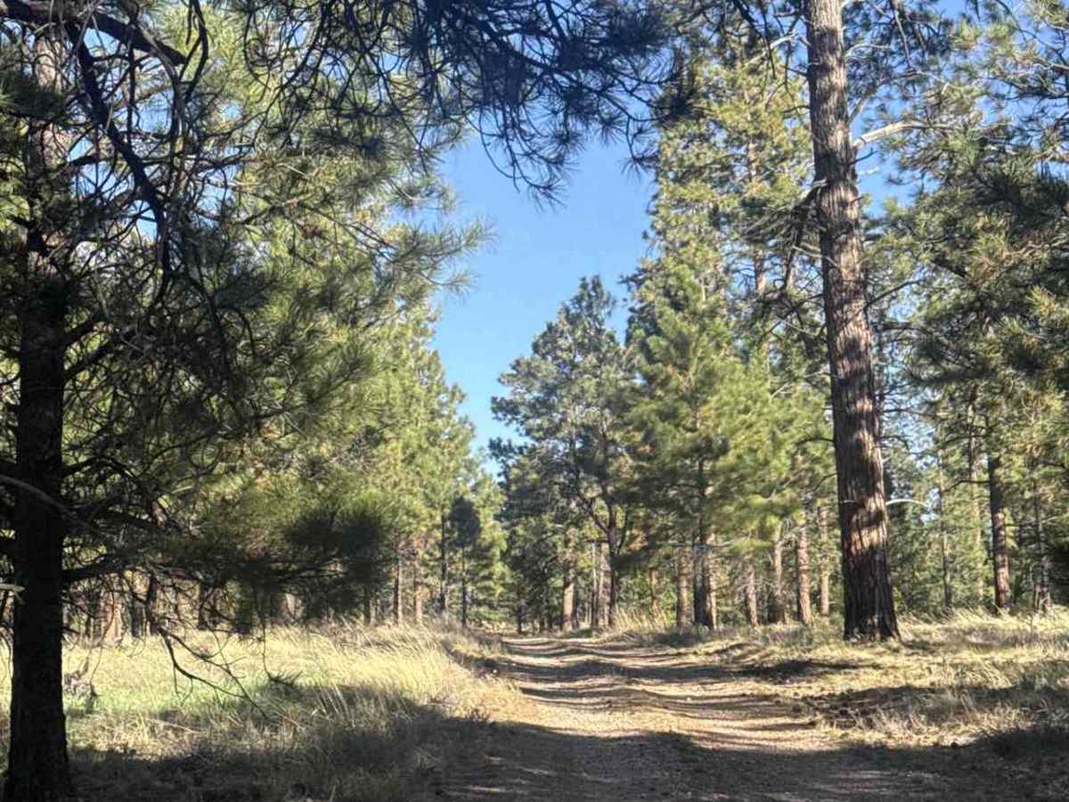
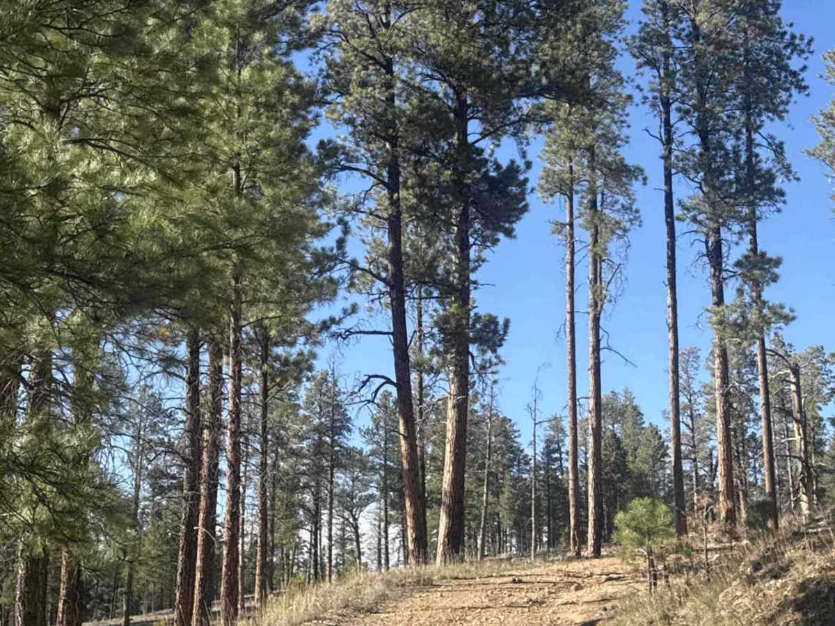
Trail Overview
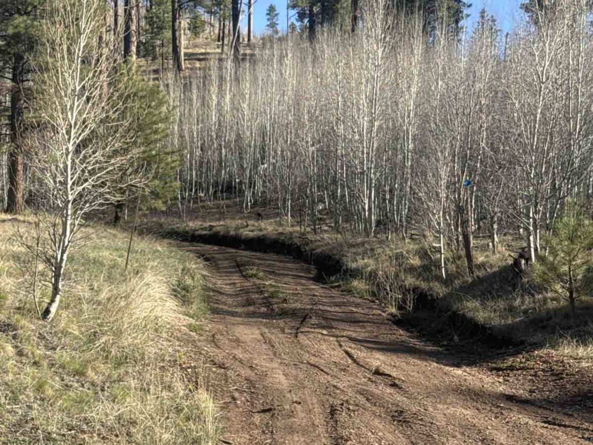
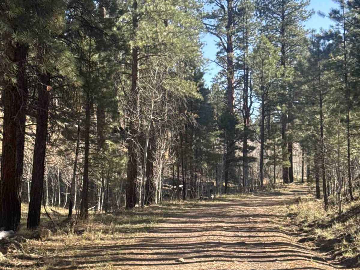
FS 200A is a well-maintained, wide dirt road that winds between rolling hills lined with pine trees, natural grass, and pockets of aspen groves. At the first Y, stay left to pass through a large aspen grove, then take another left at the next intersection as the trail begins to climb. As you gain elevation, sections of the trail turn into a mild shelf road, offering beautiful views of the valley below. There are a few rutted areas along the way, but nothing technical—just watch your speed. The trail eventually ends at its junction with FS 200, making it a great connector with scenic variety along the way.
History
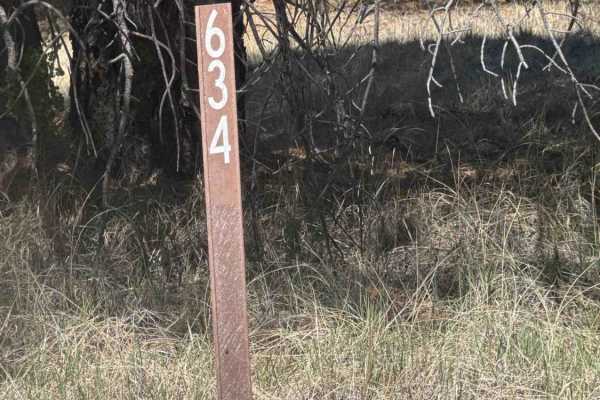
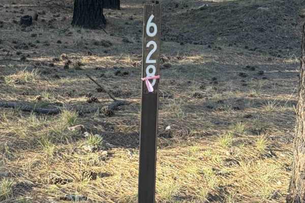
This region sits on the Kaibab Plateau and has long been used as a travel corridor between northern Arizona and southern Utah. Routes like Highway 67 and nearby forest roads (including FS 628) developed from early access paths used for logging, grazing, and forest management throughout the late 1800s and early 1900s. The surrounding Kaibab National Forest was heavily utilized for timber and cattle operations, which is why you’ll still see things like water tanks and wide, practical road layouts. Jacob Lake itself became an important waypoint for travelers heading to the North Rim of the Grand Canyon, especially after Highway 67 was established. mainly serve recreation camping, off-roading, and access to the broader trail network—but they follow the same functional routes originally built for working the land. You’re essentially driving a piece of old utility infrastructure that’s transitioned into modern-day adventure access.