Trail Overview
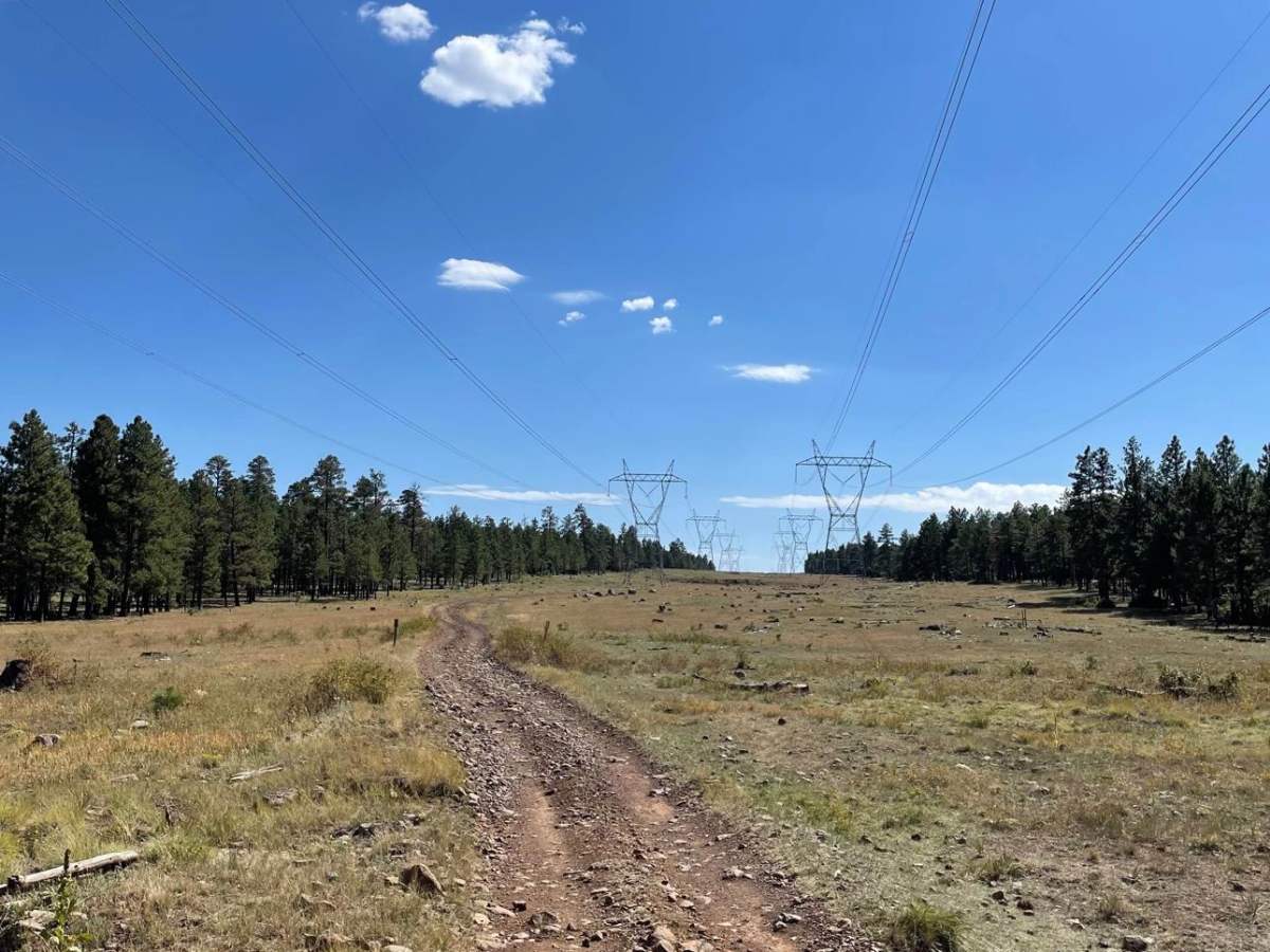
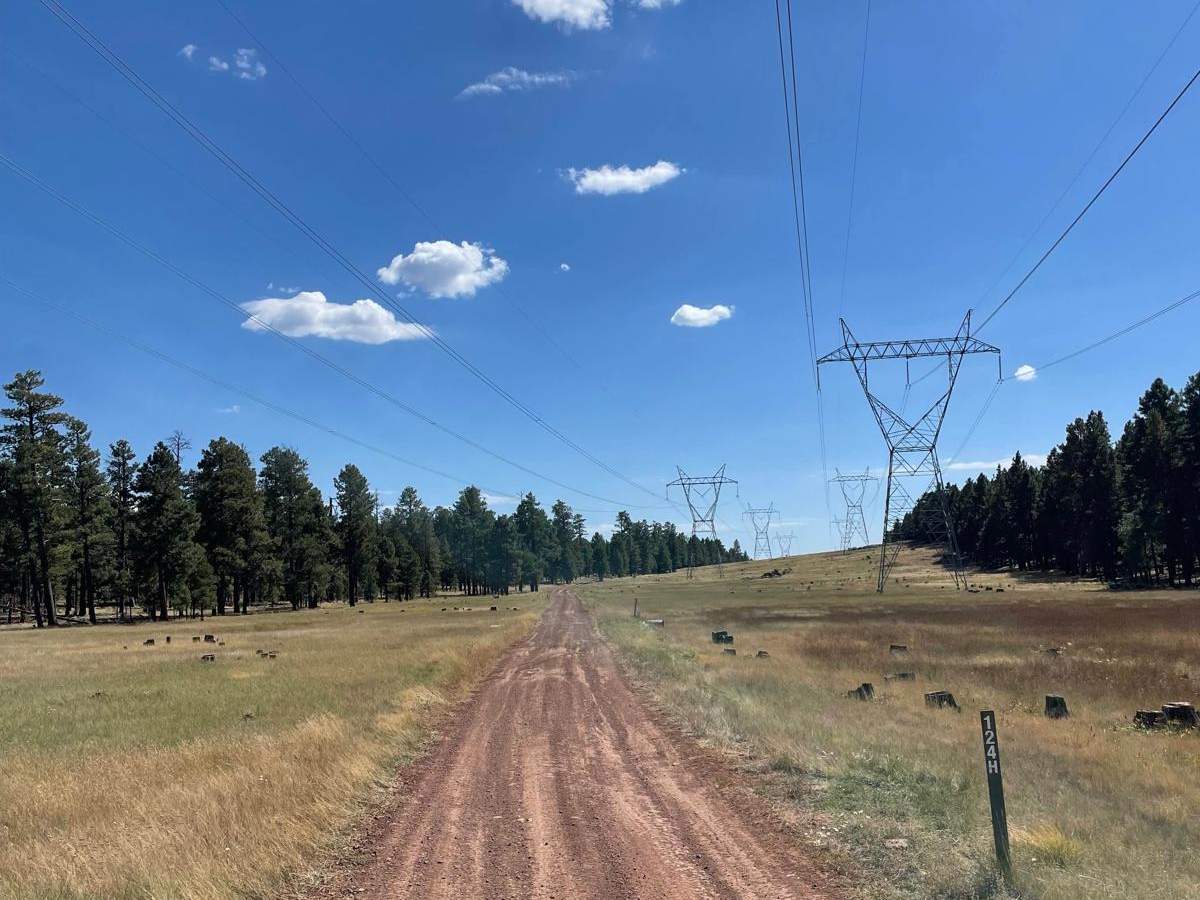
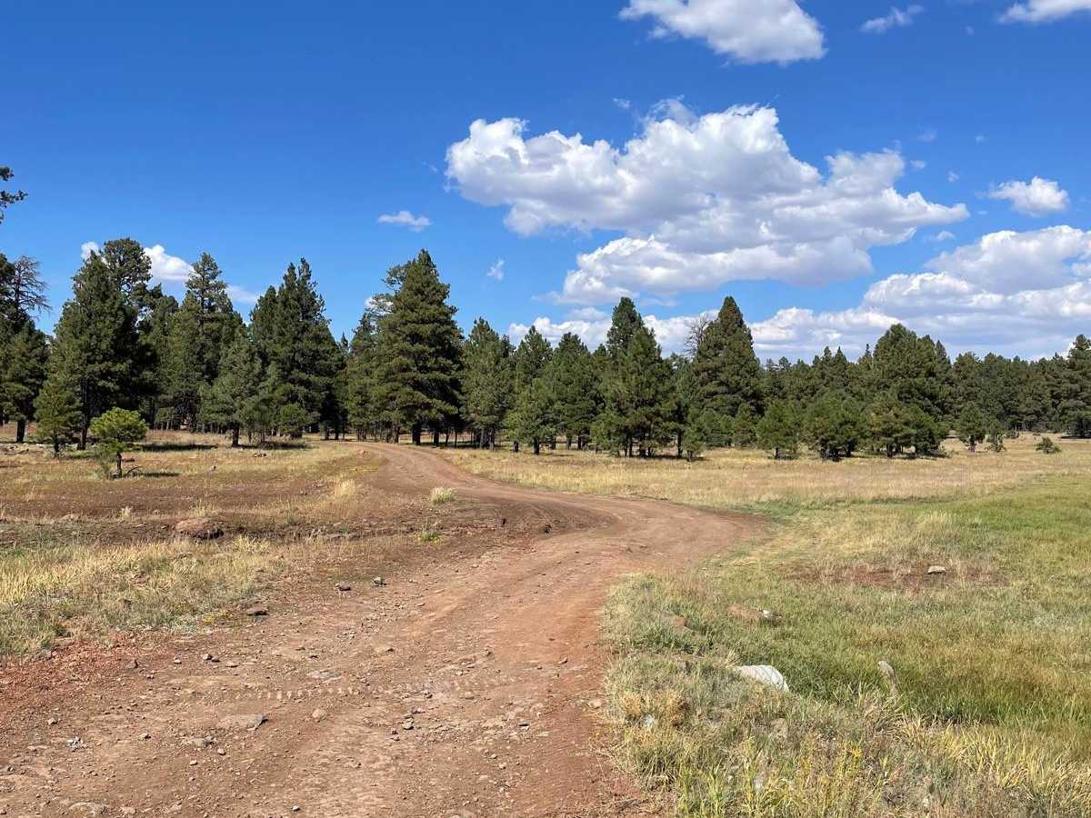
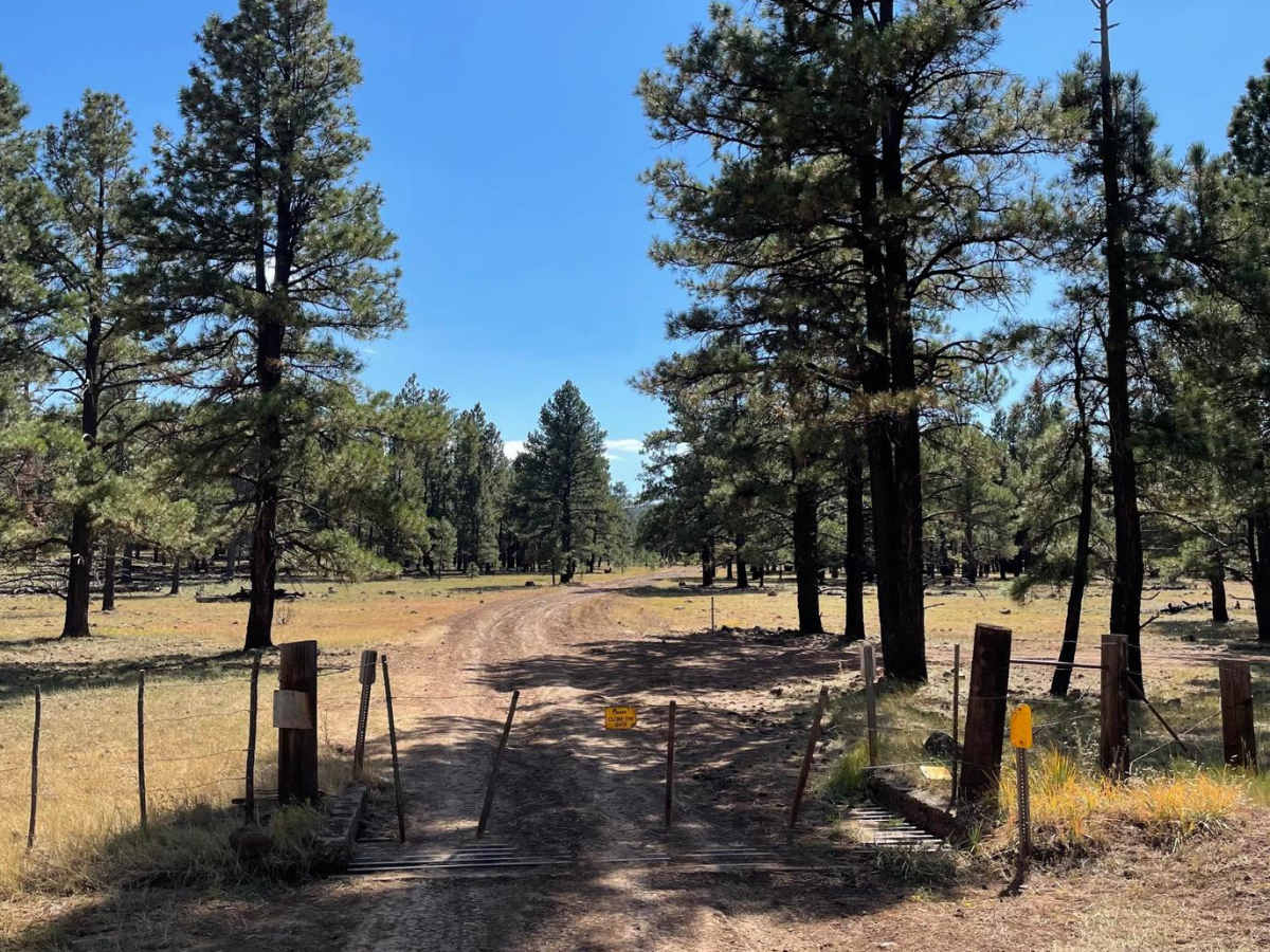
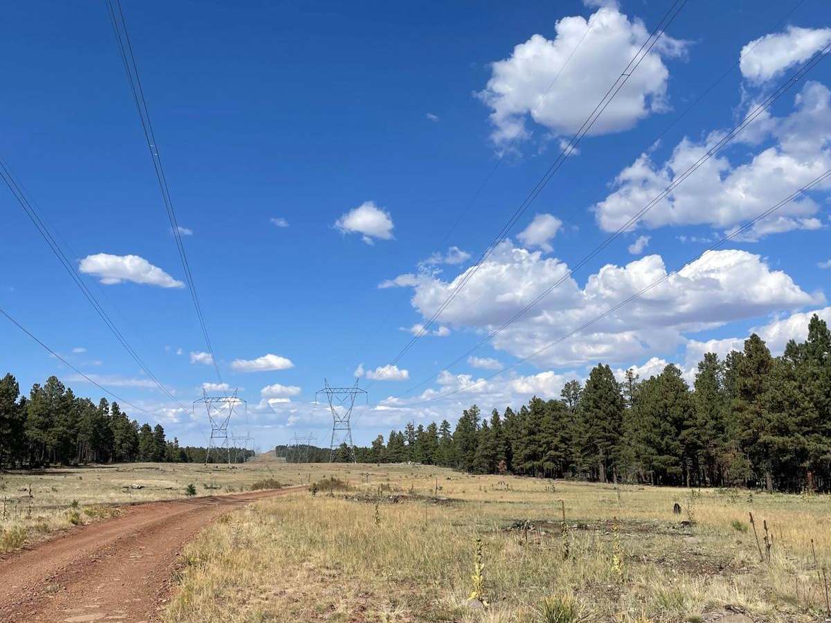
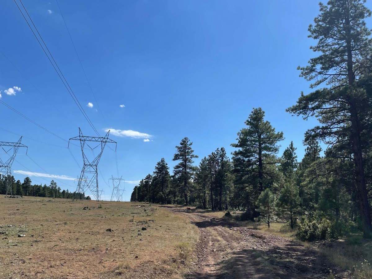
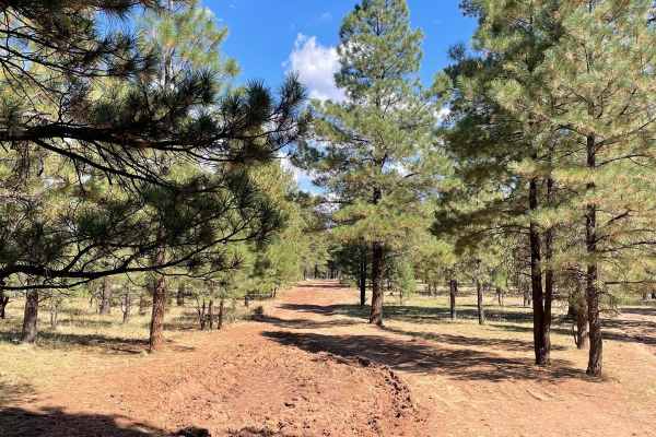
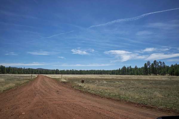
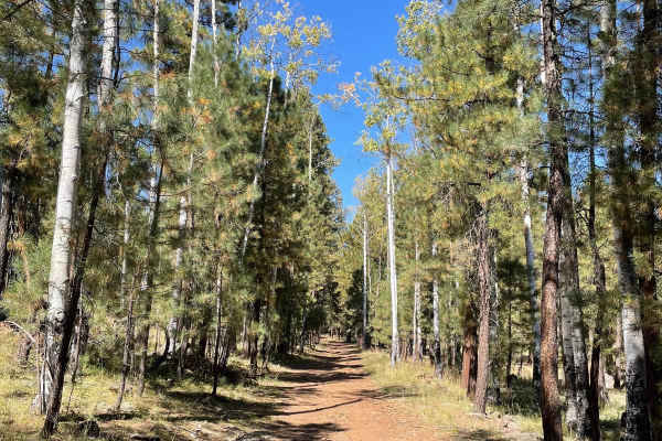
Forest Service Road 124H connects Forest Road 124 and Forest Road 135. This trail travels from North to South and is a dirt trail that follows power lines. The northern part of this trail is an easy-going dirt trail that is rutted in areas. There are several small rocky surfaces in the northern section as well. There is a fence gate you must open and close behind you. From there, the trail surface will start to get uneven in areas that are located in the open near the power lines. After you pass Boondock Tank, the trail starts to get rutted and rocky with some short steep hill climbs. The steepest and most rutted hill is in the southernmost portion of the trail which has a sharp turn for a switch back. The hill is steep, rocky, and rutted. There is a good-sized erosion rut that follows the trail up this hill. This area also has lots of exposed rock outcroppings to navigate over. After this hill, the trail remains a little rocky until you reach Forest Service Road 135. The biggest obstacle on this trail is a rutted and rocky hill with a sharp switch back. If you like to climb obstacles, hit this trail from North to South. If you like to descend obstacles, hit this trail from South to North.
Difficulty
Expect an uneven, rocky, and rutted hill with a short, steep grade.