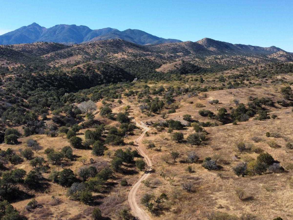
Trail Overview
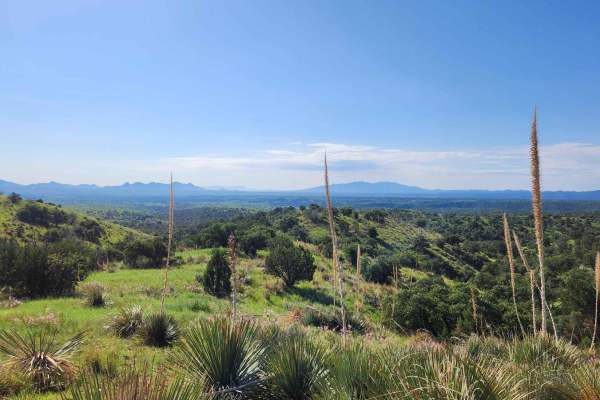
If you think the destination is as important as the journey, the kinds of artifacts you can see along this trail will really pique your interest. Deep in the foothills of the Santa Rita Mountains southeast of Tucson, you can find this hidden gem. This area is rich in mining history with old buildings and mines from when gold was once king here. There are just enough four-wheel-drive challenges along this road to encourage you to drop into the low range on your transfer case. Checking the weather conditions before heading out is crucial, as rain or snow could definitely affect the road. Traveling on back roads can be risky, so it's important to be mindful of weather and road conditions. Carrying plenty of water, never traveling alone, and informing someone of your plans are all smart moves. Since cell service can be unreliable, downloading your map before your trip is a good idea. The time to complete the trail and its difficulty really depend on various factors, including the type of vehicle used and the riders' capabilities. Safety first!
Difficulty
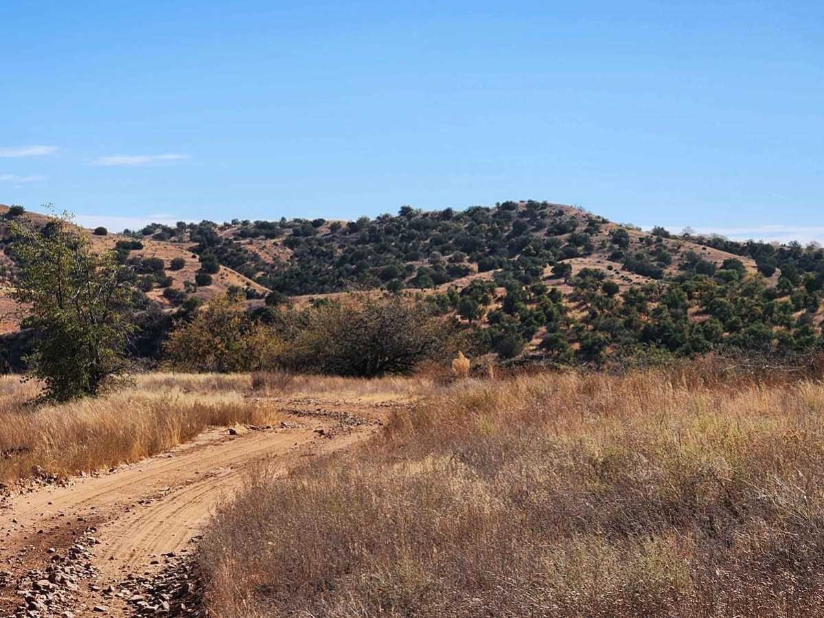
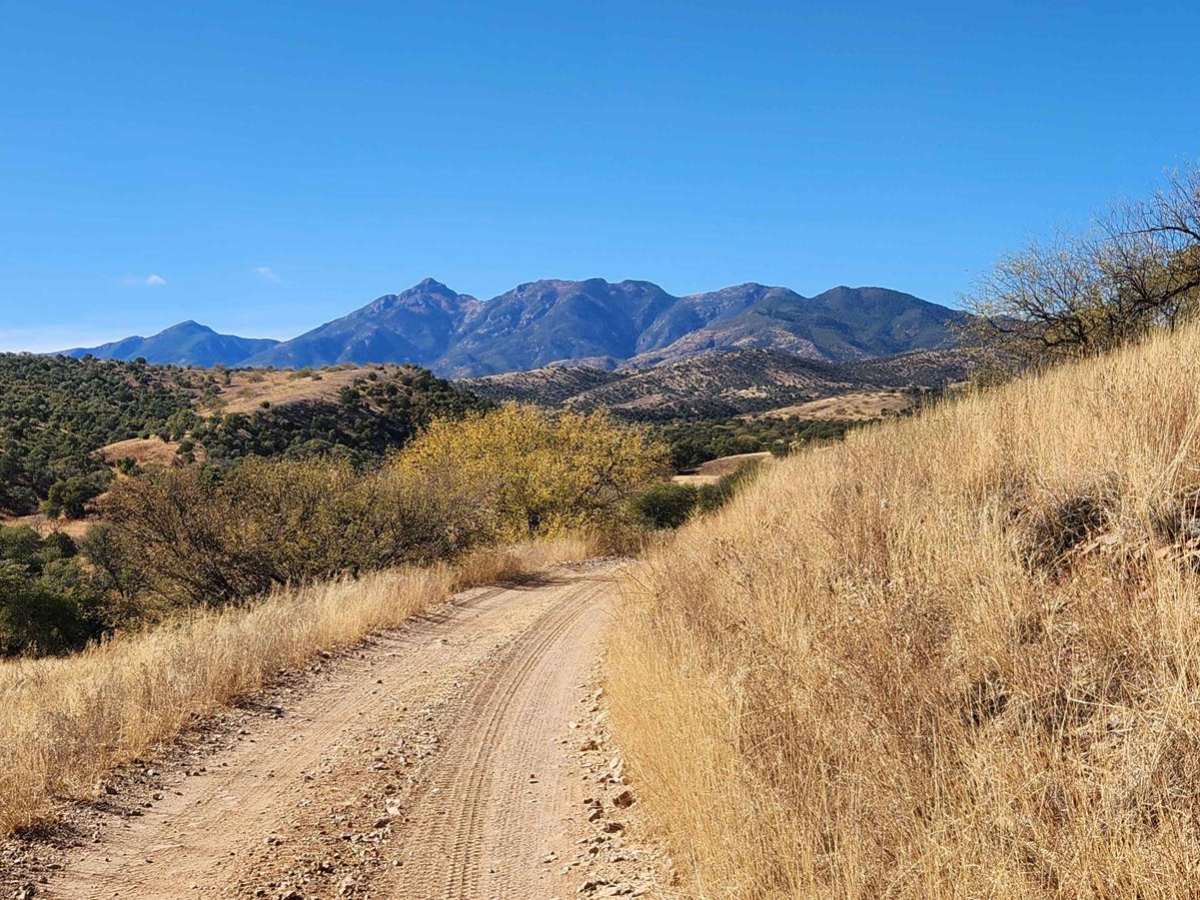
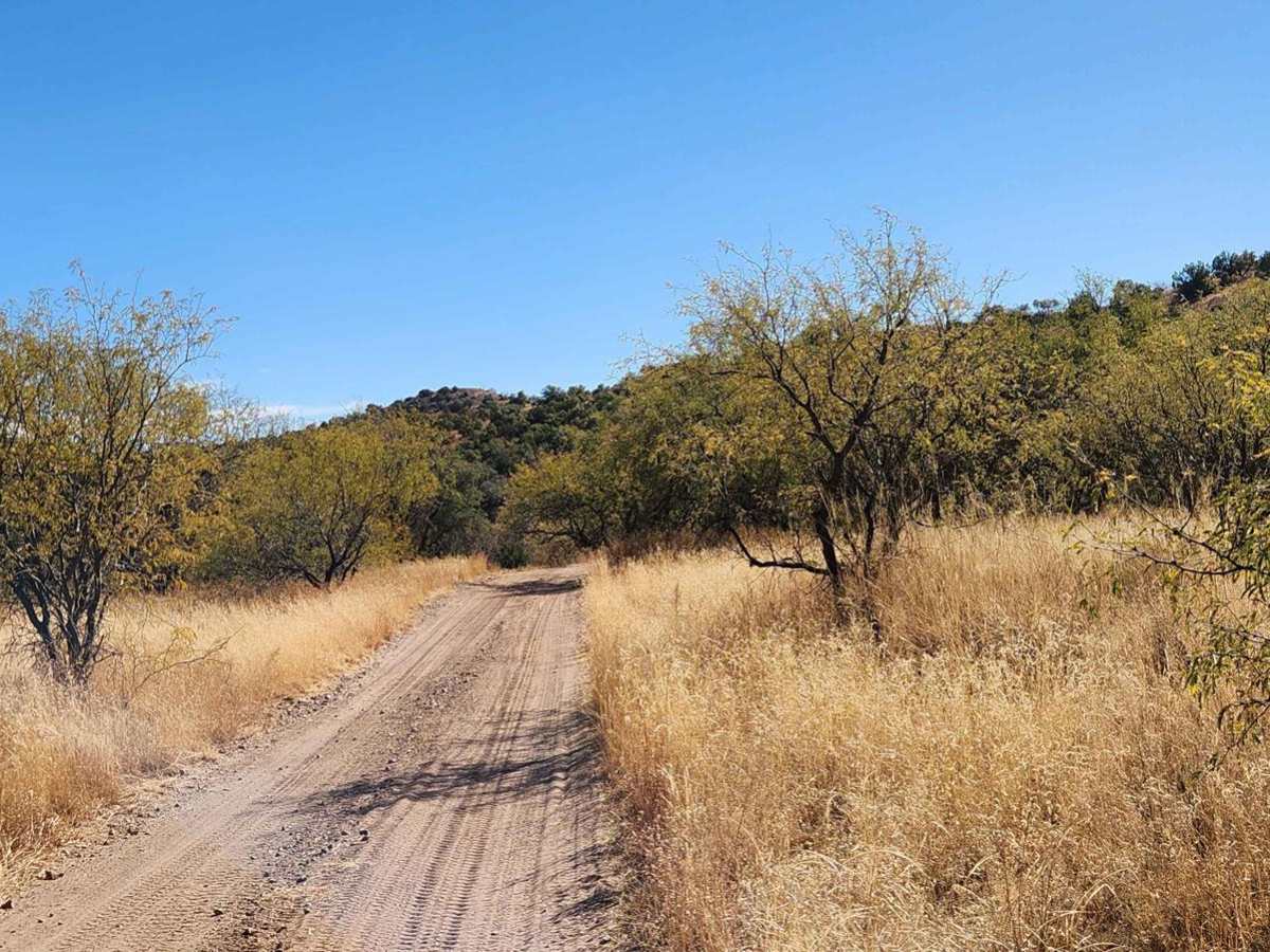
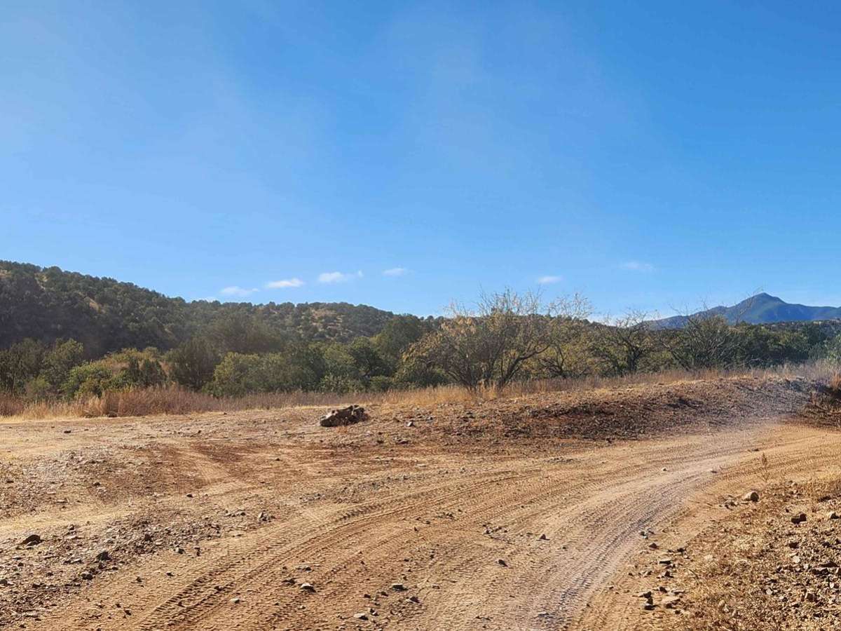
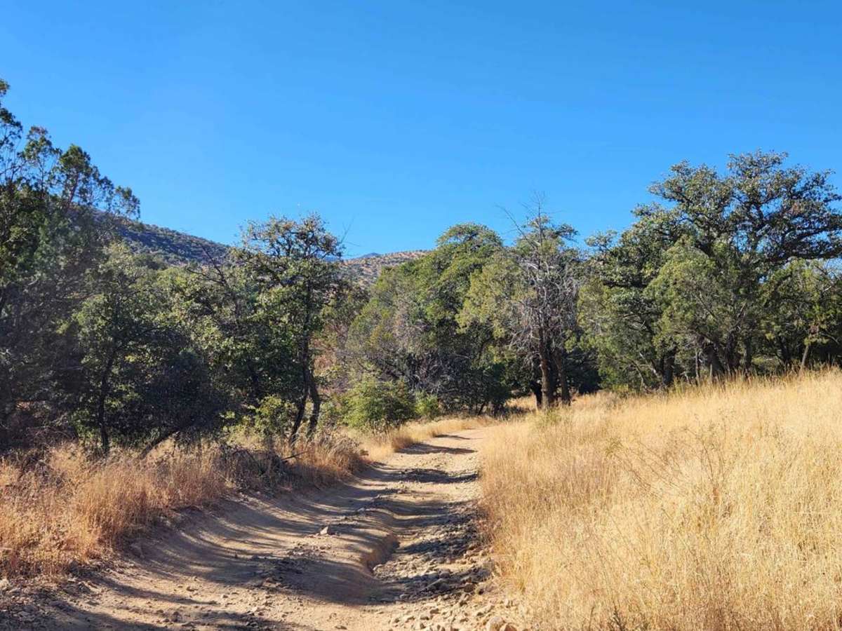
The terrain generally features rocky and uneven surfaces. You may encounter rocks and tree stumps as tall as 18 inches, vertical ledges up to 18 inches, and near-vertical ledges or waterfalls reaching up to 36 inches. Tire placement can be challenging, and the path may be steep and off-camber. This road is mostly 1 to 1.5 vehicle widths wide and includes easy two-track sections, moderately challenging steep climbs, shelf roads, and some washouts with shelves to navigate. The first half of this road, up to Fish East (FR4113), is suitable for four-wheel-drive vehicles or skilled two-wheel-drive vehicles with high clearance. Beyond FR4113, the road should be considered a four-wheel-drive low-range section, as you will encounter exposed rocky stairs to climb, shelf roads, mild off-camber sections, and some washouts toward the end.
History
The Greaterville area has a fascinating history of placer and hard rock mining. Initially, small miners used rocker boxes, and more recently, metal detectors were employed for placer mining. In the early 1900s, the Santa Rita Water & Mining Company attempted a large-scale placer operation in the area. While most of the land is now part of the Coronado National Forest, back in the early 1900s, the land was mostly patented. The Santa Rita Water & Mining company held patents for around 3,000 acres of the best placer grounds.