Trail Overview
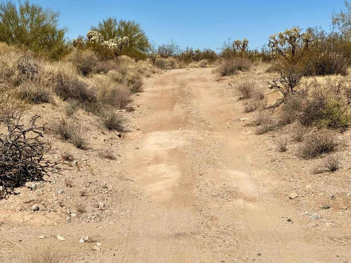
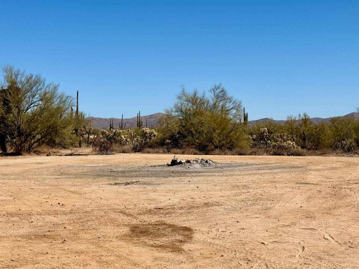
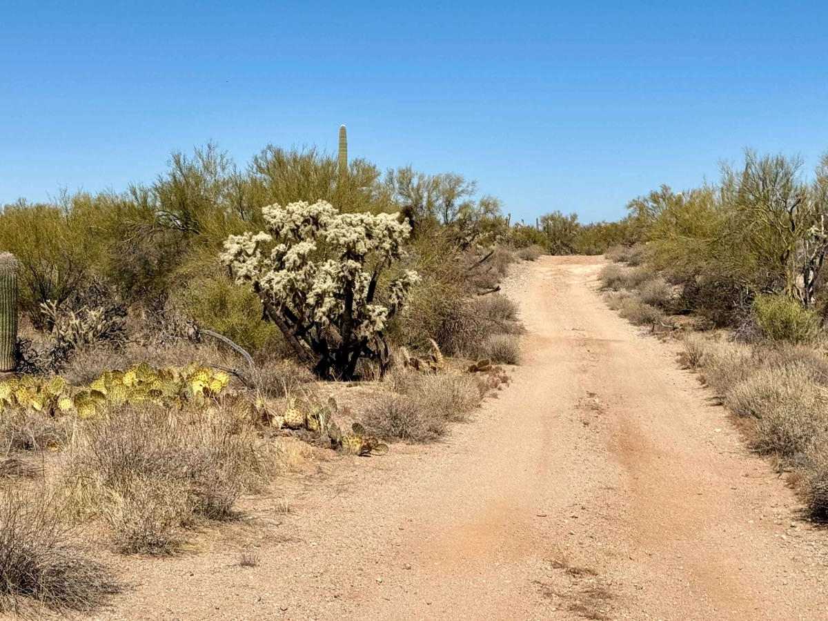
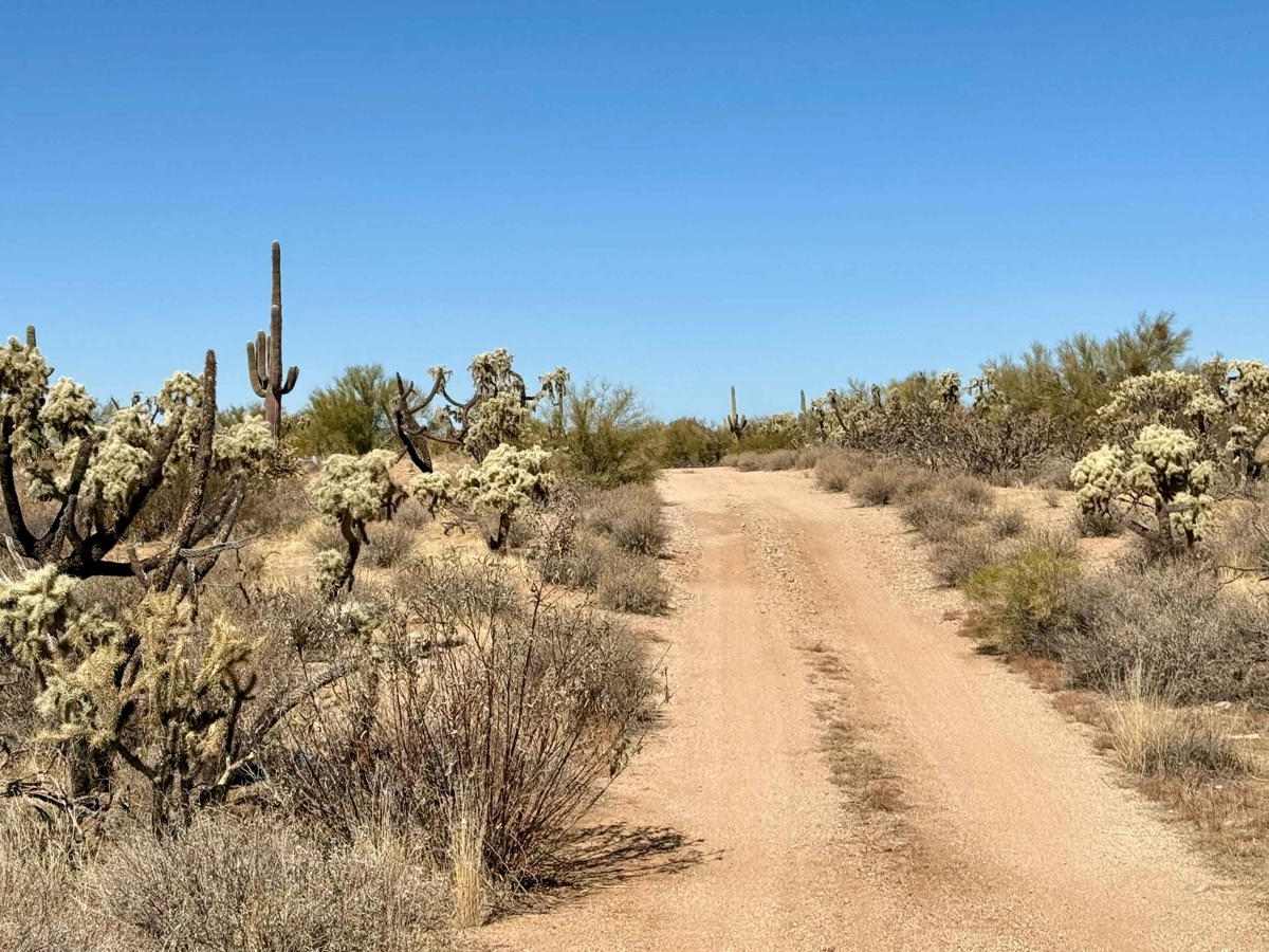
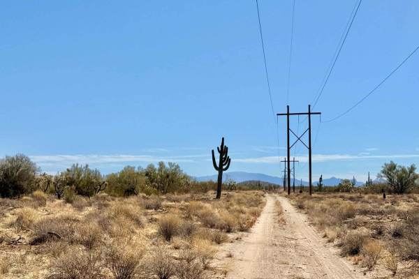
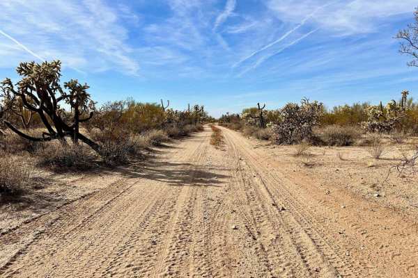
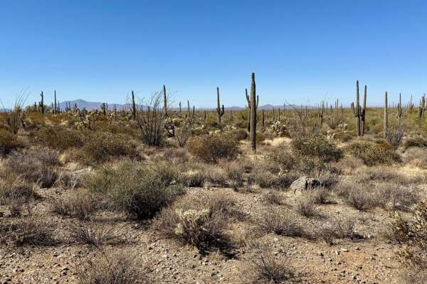
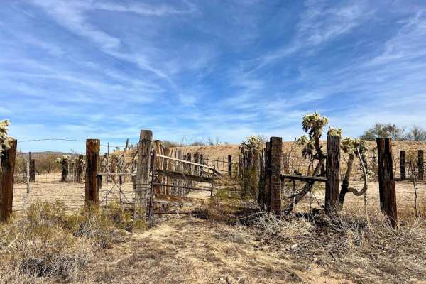
The Escalanta Trail is a heavily traveled route that offers a moderate driving experience, making it an excellent option for various types of vehicles and skill levels. As you navigate this path, you'll pass several tanks, ultimately leading you to the Escalata Tank, a notable endpoint for your journey. This trail features ample dispersed camping options, particularly as you approach the historic Old 96 Ranch, providing plenty of opportunities for those looking to spend a night under the stars. The trail is predominantly wide, allowing for comfortable passage, and while there are a few moderate washouts and sandy sections, they don't significantly complicate your drive. As you travel along Escalanta, you'll have the chance to encounter typical desert wildlife, enhancing your connection to the natural environment. With only one bar of LTE service that may fade in and out, it's advisable to download your offline maps before heading out to ensure you stay on course during your exploration. Important Note: Be sure to come prepared for your adventure in the desert by bringing enough water and supplies to keep you hydrated and comfortable throughout your journey. Additionally, remember to secure your Arizona State Land Trust permit for access to this trail.
Difficulty
This trail is rated as a 2, reflecting its overall ease and accessibility, with plenty of places for oncoming traffic to pass along the way.