Trail Overview
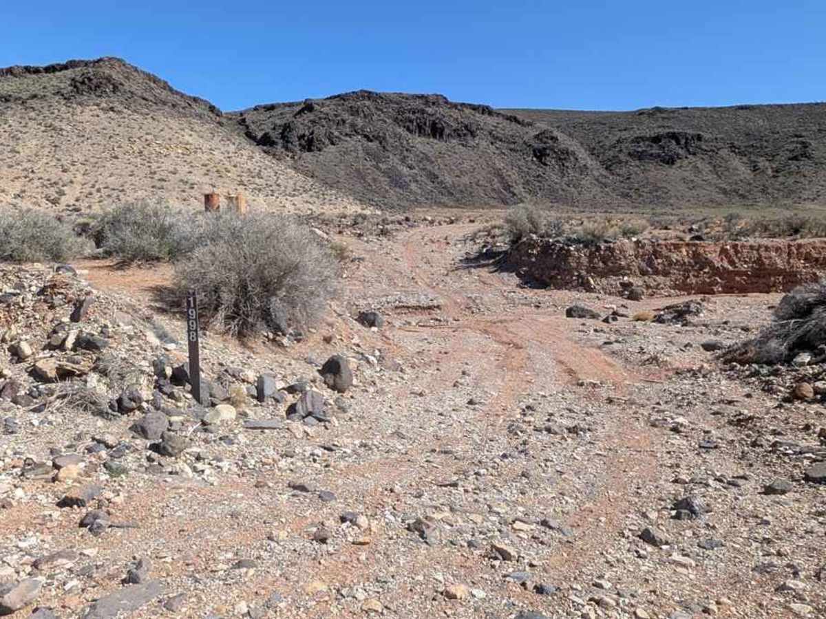
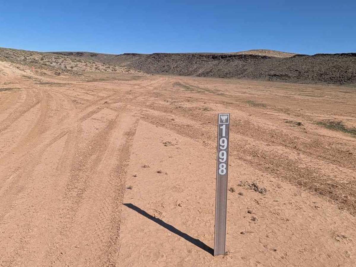
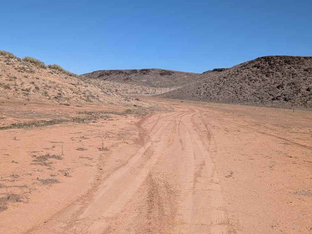
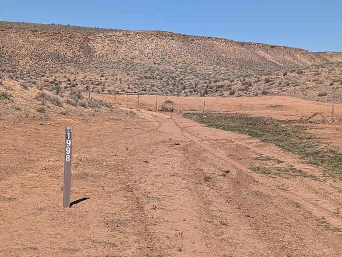
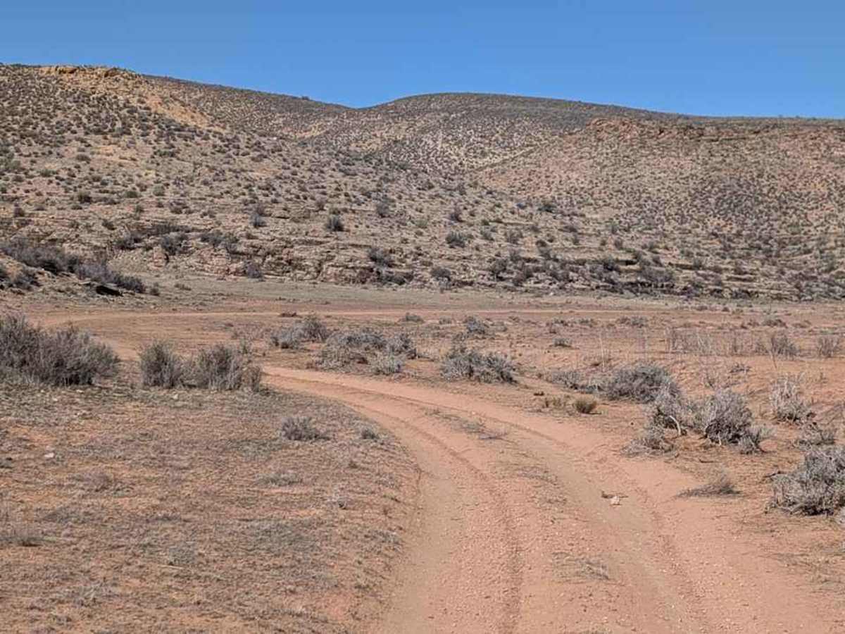
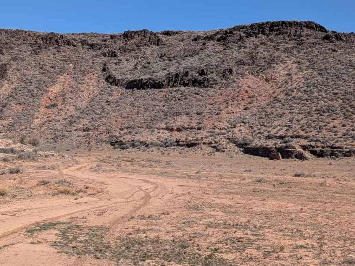
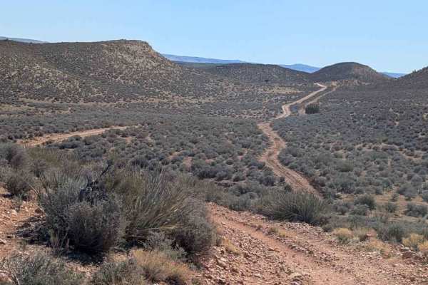
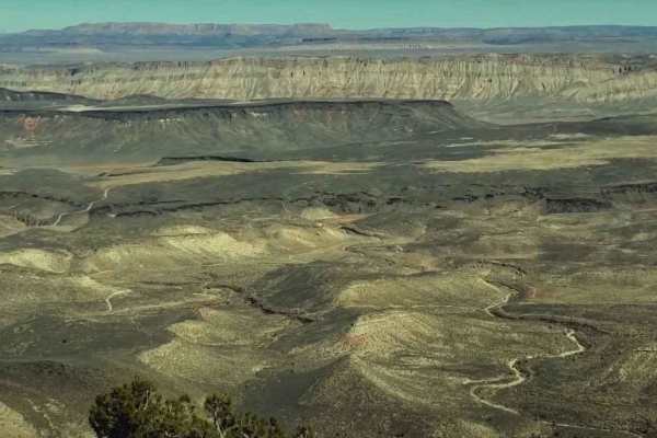
Dutchman Draw (BLM 1998-M2037) is a 3.5-mile point-to-point trail rated 3 of 10 located on the Arizona Strip in Mohave County. Do not confuse this with the more extreme BLM 2000-M2018 Dutchman Draw (Rated 9), which is the trail north of this in the same wash. The majority of this trail is hard-packed dirt that runs through a wide and flat valley between two tall ridges. Only the northernmost half mile is rocky and crosses several washes. Look closely, and you can visualize how ancient waters rushed through this area and quite literally flattened the valley floor. It is very evident on the north end where the wash cuts a 20-foot-deep drainage. There are several low spots where ranchers have built catch ponds as well as fenced corrals for grazing cattle. The most obvious (and on the map) is Emily Pond. This area is part of the BLM Land Management Grazing Program. Similar to its sister canyon, Swiss Canyon, the waters in Dutchman Draw run south to north away from the Grand Canyon. The trail extends from the West Mesa trail in the north to the Segmiller trail in the south and runs along the east side of Segmiller Mountain. Depending upon the time of year, this trail can become quite muddy, and the few dry washes can be filled with water. This is generally considered an easy trail and accessible by all AWD and 4WD vehicles. The nearest services will be located in St. George, roughly 20 miles north. Cell phone service is pretty much non-existent except maybe on a few of the higher peaks in the area. This area can get brutally hot in the summer months and during winter drops below freezing (especially at night). Be prepared for travel in this area and always ensure there is extra water available.
Difficulty
Trail consisting of loose rocks, dirt, and sand with some slickrock surfaces, mud holes possible, no steps higher than 12 inches.
History
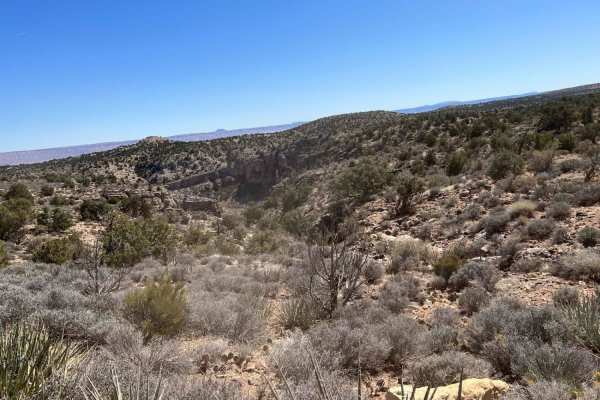
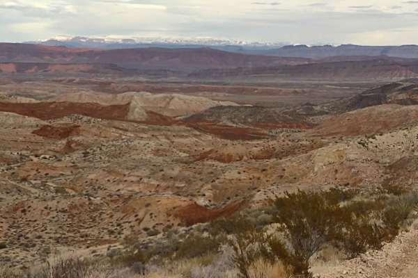
The Grand Canyon isolates the Arizona Strip from the rest of Arizona, making it among the most remote and rugged public land in the lower 48 states. There are approximately 4,000 miles of unpaved roads leading to spectacular scenic vistas, remoteness, and solitude among rough scenic canyons and ponderosa pine forests. This distinctive part of Arizona has a special appeal to many. Artifacts dating back 8,000 years indicate the long human habitation of this harsh landscape. Though Native Americans, from ancient Puebloans to modern Paiutes, have lived in the area for centuries.