Desoto Mine Trail / FS259B, FS9268R, & FS89

Total Miles 11.6
Technical Rating
6 Moderate
Best Time Spring, Summer, Fall
Trail Type Full-Width Road
Accessible By
Open Trail Map

Trail Overview

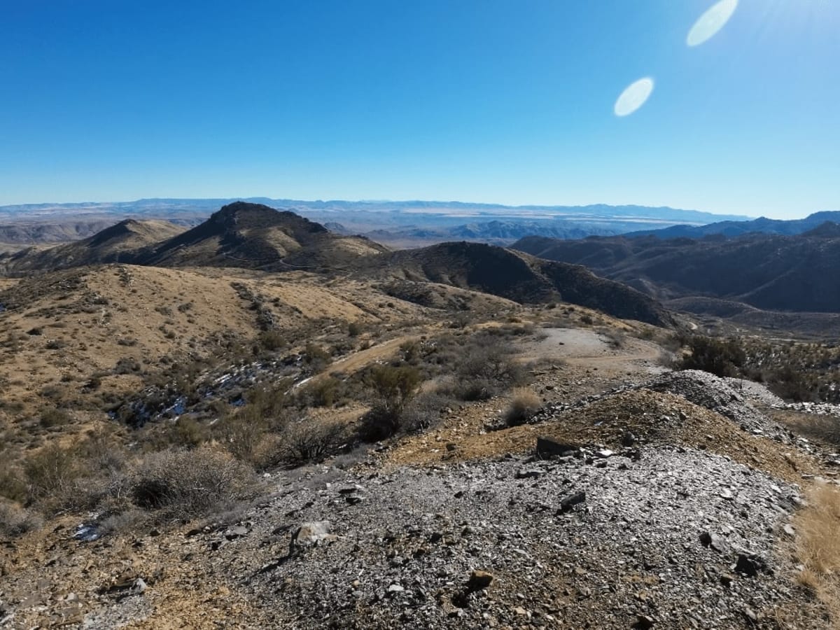
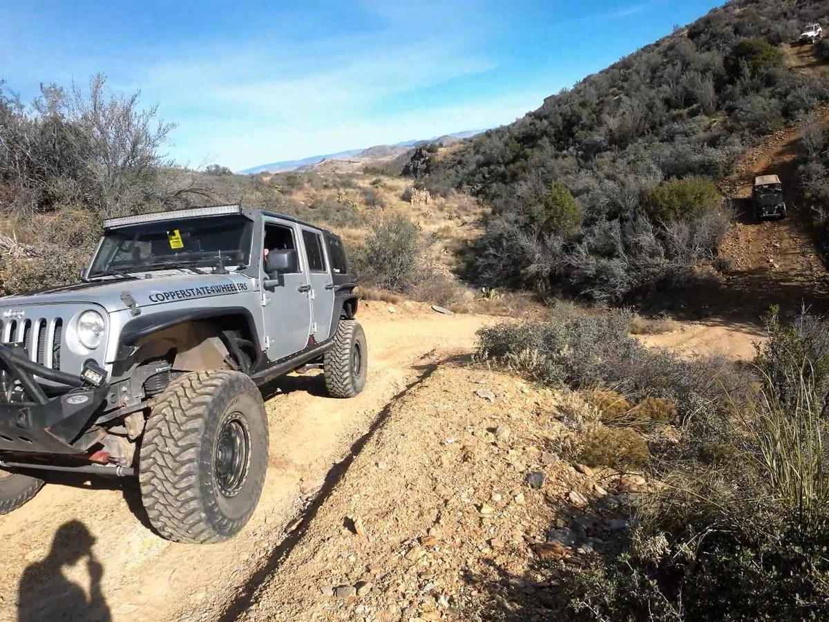
The Desoto Mine Trail is a tour of some of the most remote roads in the area. The route has very exposed shelf roads, very steep ascents and descents, and off-camber fun sections that demand your attention. This trail begins on FS259B. After visiting the Desoto Mine, the trail continues on FS9268R and ends on FS 89. At the intersection of FS9268R and FS89, the trail can be combined with Peck Mine Road with a hard right-hand turn and finished on the Senator Highway. The trail is typically run from east to west but can be run in the reverse direction for more difficulty. Also of note, the Silver Prince Mine/Swastika mine is on private property and there are signs everywhere to note this. Travelers have been permitted to drive through but you cannot stop. After you pass the big metal door at the Silver Prince Mine, see if you can spot the buried truck on the side of the mountain on the right. The trail ends on Crown King Road. If you turn right and continue up the mountain, you will arrive in the town of Crown King. If you turn left and continue down the mountain, you will pass the small town of Cleator and Bumble Bee on the way to the I-17.

Photos of Desoto Mine Trail / FS259B, FS9268R, & FS89

Difficulty

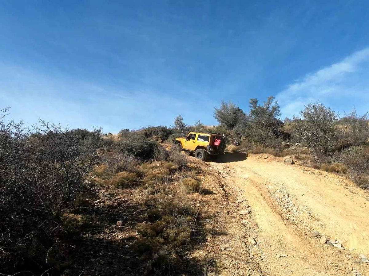
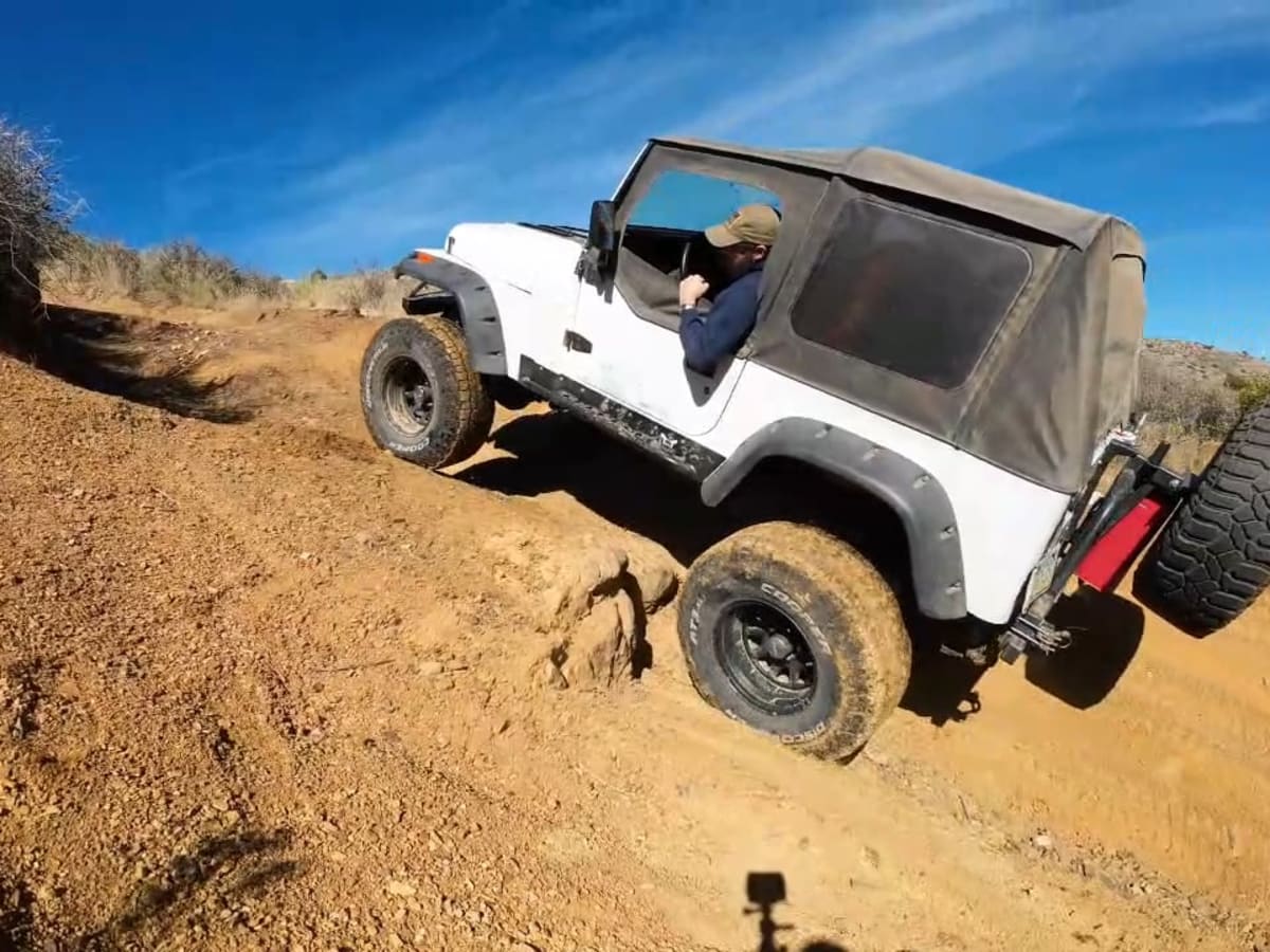
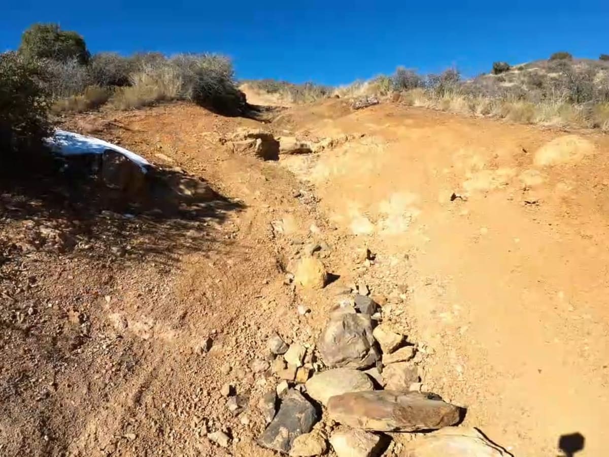
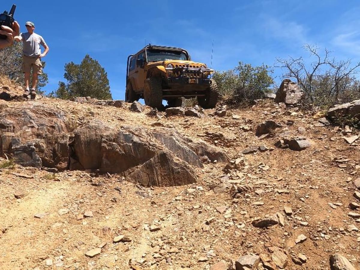
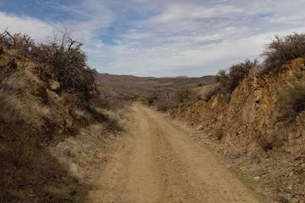
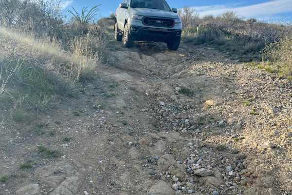
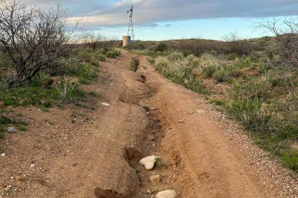
The trail is mainly comprised of a nice hard-packed dirt road. The difficulty comes with the level of narrow and exposed roads with very steep ascents and descents. There are 3 main obstacles on this trail. The first is the easiest. The approach to this obstacle is a very long and steep descent, a very short dry creek crossing, and an immediate steep climb and left-hand turn. The second could be more challenging depending on the line you choose and whether there is any ice or snow on the trail. An error, vehicle stall, or flop could be very dangerous here. The third obstacle is a very large step that you will negotiate going downhill. The right is more difficult and the left is easier. This ledge is on a very steep descent and is littered with loose rock. Beyond the ledges, there are scattered steep and off-camber sections. All demand your attention.

Technical Rating

6

Status Reports

Add Status Report
Fred Balzarini
Jan 29, 2026
Open
Pretty smooth and easy trail. No real obstacles or challenges. There’s a couple steep climbs and descents, but otherwise an easy trail. Views are $$! Takes about 1hr 45 min to complete.
Kenny Galloway
Jan 04, 2026
Open
Wet and muddy on the shady side is f the mountains. Looks like a tractor had gone through recently and graded it so it’s fairly smooth. I’d suggest a 3/10 in difficulty.
Sarah OConnell
May 25, 2025
Open
Fully graded end to end. Other than steep ascents and descents, this is a VERY easy trail.
Pat Long
Apr 05, 2025
Open
The trail has been nicely graded. Still very steep up/down (fun!) but very smooth. The dozer is still parked on the trail, so this is recent. We diverged off to Peck Mine Trail and it was only graded to the Peck corral and I cannot confirm the rest of De Soto Trail was graded past Peck Mine but it sure looked like it.
Sunshine Gal
Dec 29, 2024
Open
If you are coming from the east and heading west the first part of the trail to the mine is easy and there are cows, deer etc. Continuing on past the mine however it gets really tricky and is not recommended alone or something with a lower clearance or power than a Can Am. We were committed and kept on and gratefully were lucky enough to make it without any real issues. Not recommended for lesser experienced sxs drivers.

Desoto Mine Trail / FS259B, FS9268R, & FS89 Trail can be accessed by the following ride types:

  • Single Track
  • 50 Inch
  • 60 Inch
  • High Clearance
  • Full Width

Desoto Mine Trail / FS259B, FS9268R, & FS89 Map

The onX Offroad Difference

onX Offroad combines trail photos, descriptions, difficulty ratings, width restrictions, seasonality, and more in a user-friendly interface. Available on all devices, with offline access and full compatibility with CarPlay and Android Auto. Discover what you're missing today!

Open Trail Map