Trail Overview
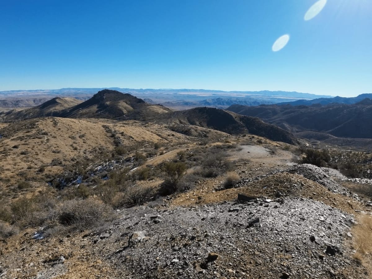
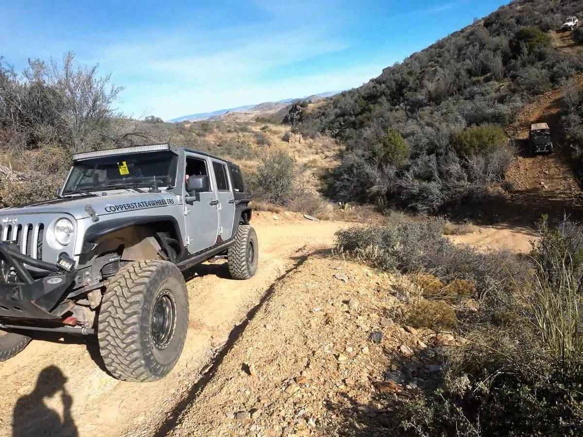
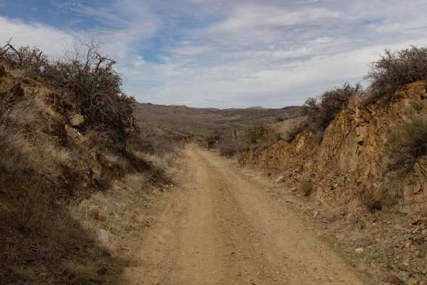
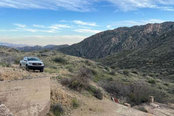
The Desoto Mine Trail is an exciting, moderately technical point-to-point route through the remote Bradshaw Mountains of Arizona, perfect for experienced off-roaders seeking steep shelf roads and a tour of historic mining sites. Spanning approximately 11.6 miles, this route climbs over 3,300 feet of cumulative elevation and reaches a peak of 5,606 feet, transitioning from Forest Service Road 259B onto FS9268R and finishing on FS89. The terrain consists of hard-packed dirt roads that become narrow and highly exposed, with off-camber sections and steep gradients that demand total focus. Along the way, drivers will navigate past the historic Desoto Mine and traverse private property at the Silver Prince and Swastika mines, where stopping is prohibited but visitors can spot a classic truck buried on the mountainside.
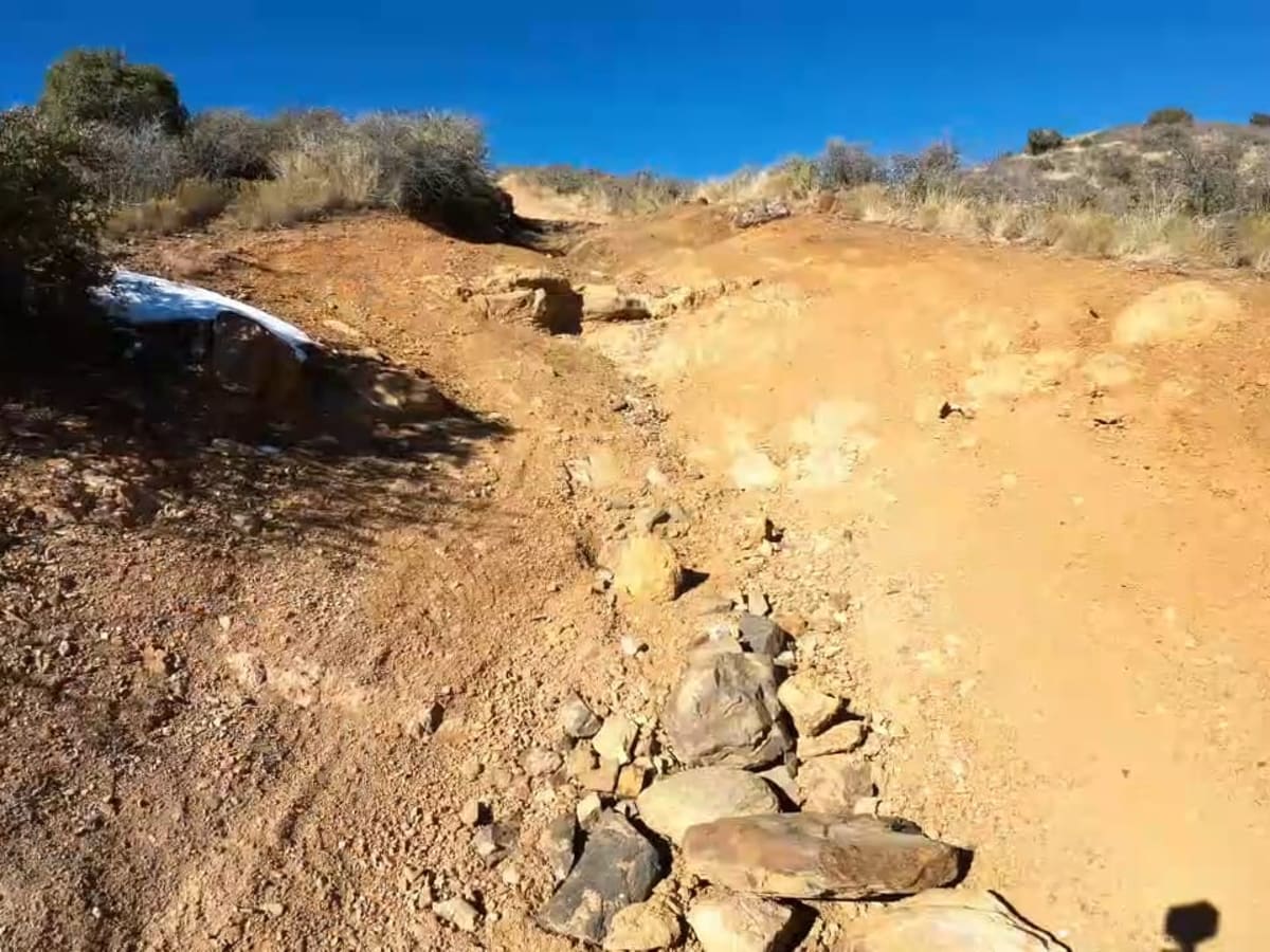
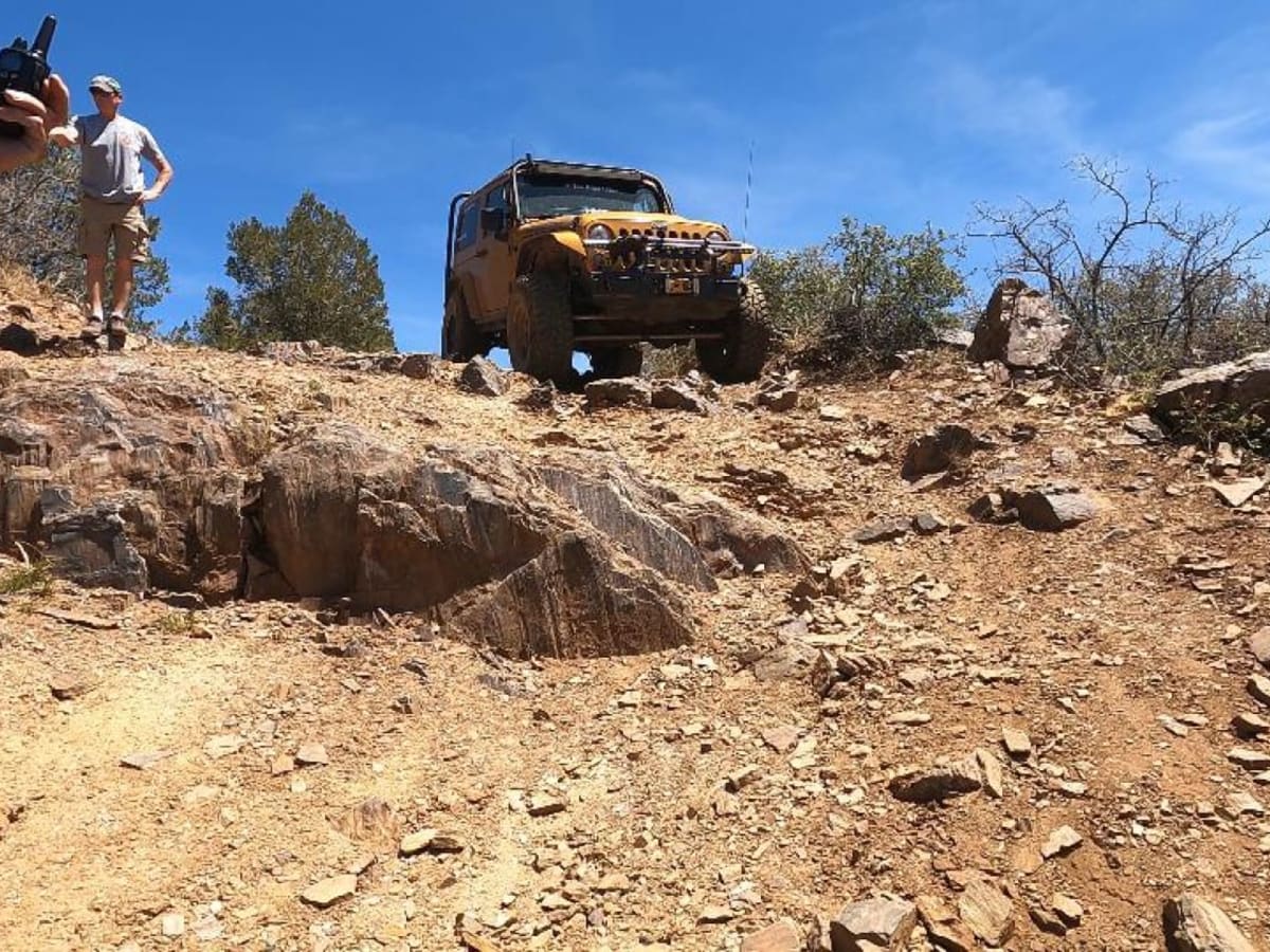
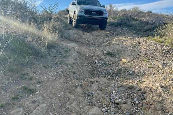
Traveling the route from east to west is highly recommended because the extremely narrow shelf roads offer minimal space to pass oncoming traffic safely, though running the trail in reverse provides a more challenging uphill climb. Off-roaders must negotiate three primary obstacles, including a steep downhill descent leading into a dry creek crossing with an immediate steep climb, a narrow off-camber section that is particularly treacherous when ice or snow is present, and a large, rock-strewn downhill ledge step requiring careful line selection. High-clearance vehicles with four-wheel drive are necessary to complete this technical trail safely. Upon reaching the end of the route at Crown King Road, turning right leads up to the historic mountain town of Crown King for fuel and dining, while turning left heads back down toward Interstate 17 via Cleator and Bumble Bee.
Difficulty
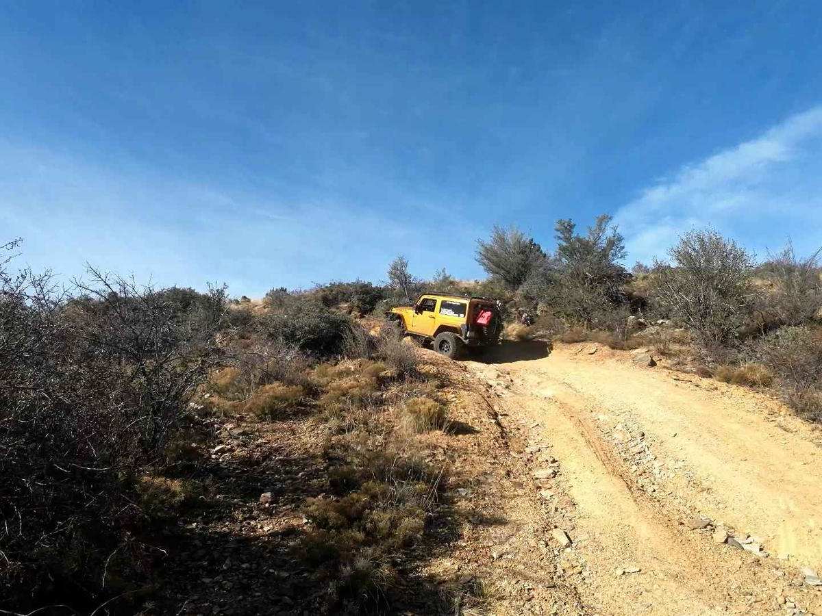
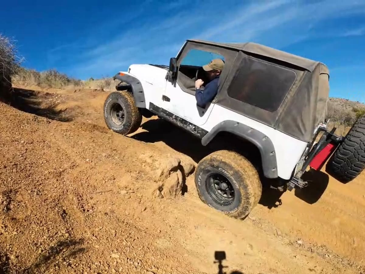
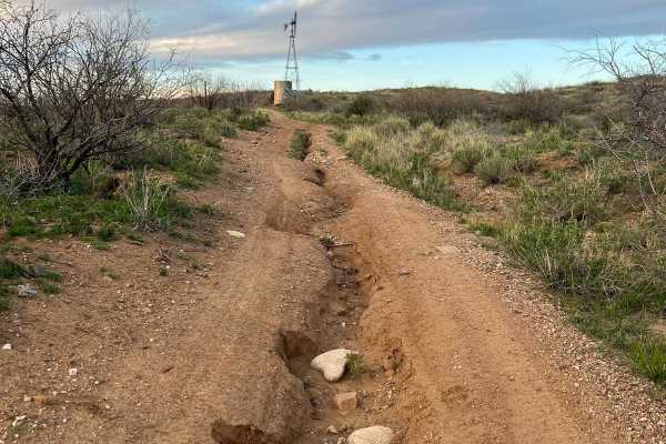
The trail is mainly comprised of a nice hard-packed dirt road. The difficulty comes with the level of narrow and exposed roads with very steep ascents and descents. There are 3 main obstacles on this trail. The first is the easiest. The approach to this obstacle is a very long and steep descent, a very short dry creek crossing, and an immediate steep climb and left-hand turn. The second could be more challenging depending on the line you choose and whether there is any ice or snow on the trail. An error, vehicle stall, or flop could be very dangerous here. The third obstacle is a very large step that you will negotiate going downhill. The right is more difficult, and the left is easier. This ledge is on a very steep descent and is littered with loose rock. Beyond the ledges, there are scattered steep and off-camber sections. All demand your attention.