Trail Overview
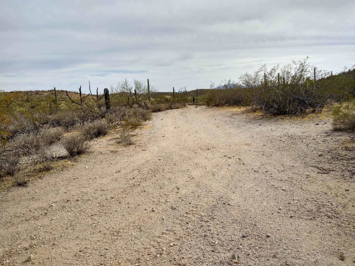
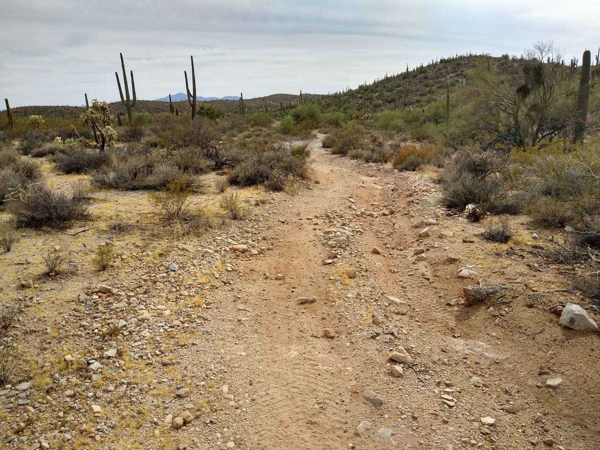
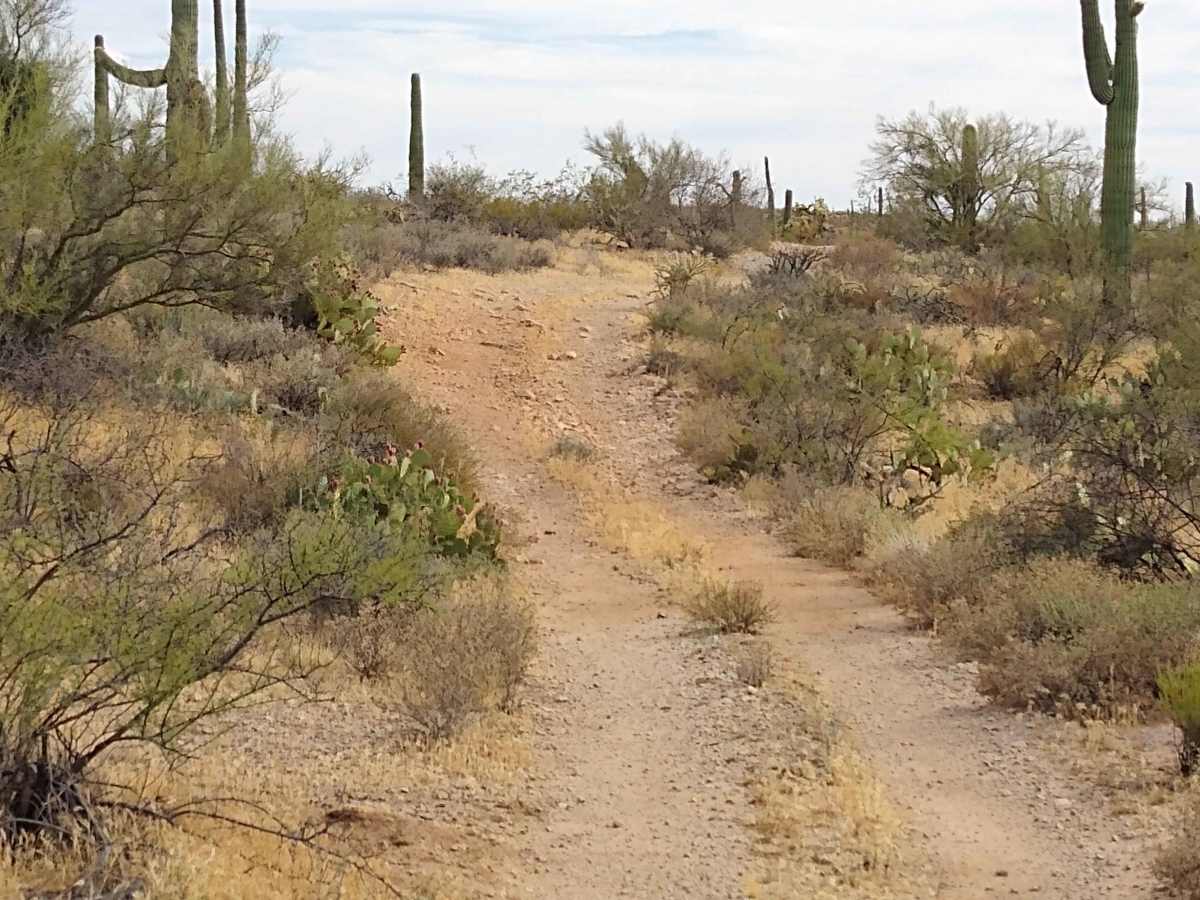
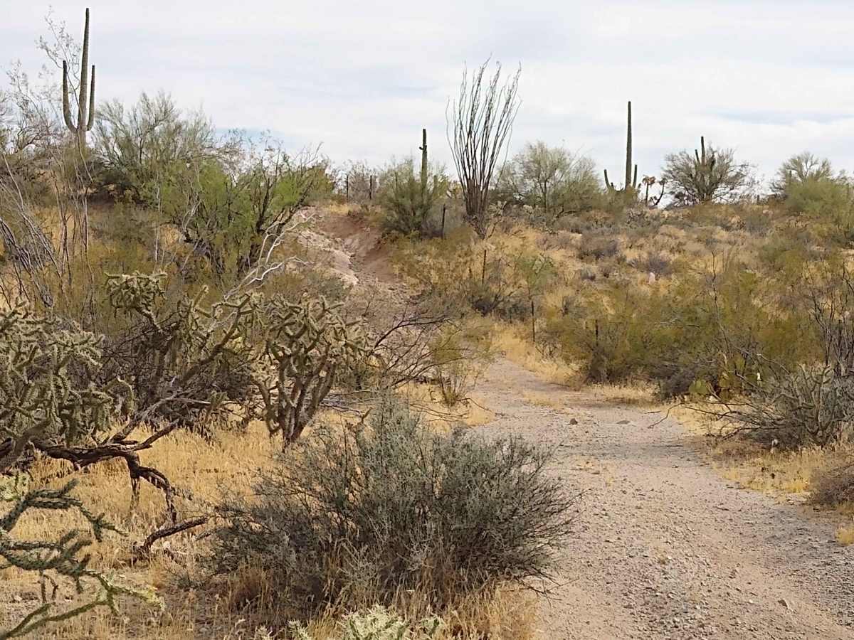
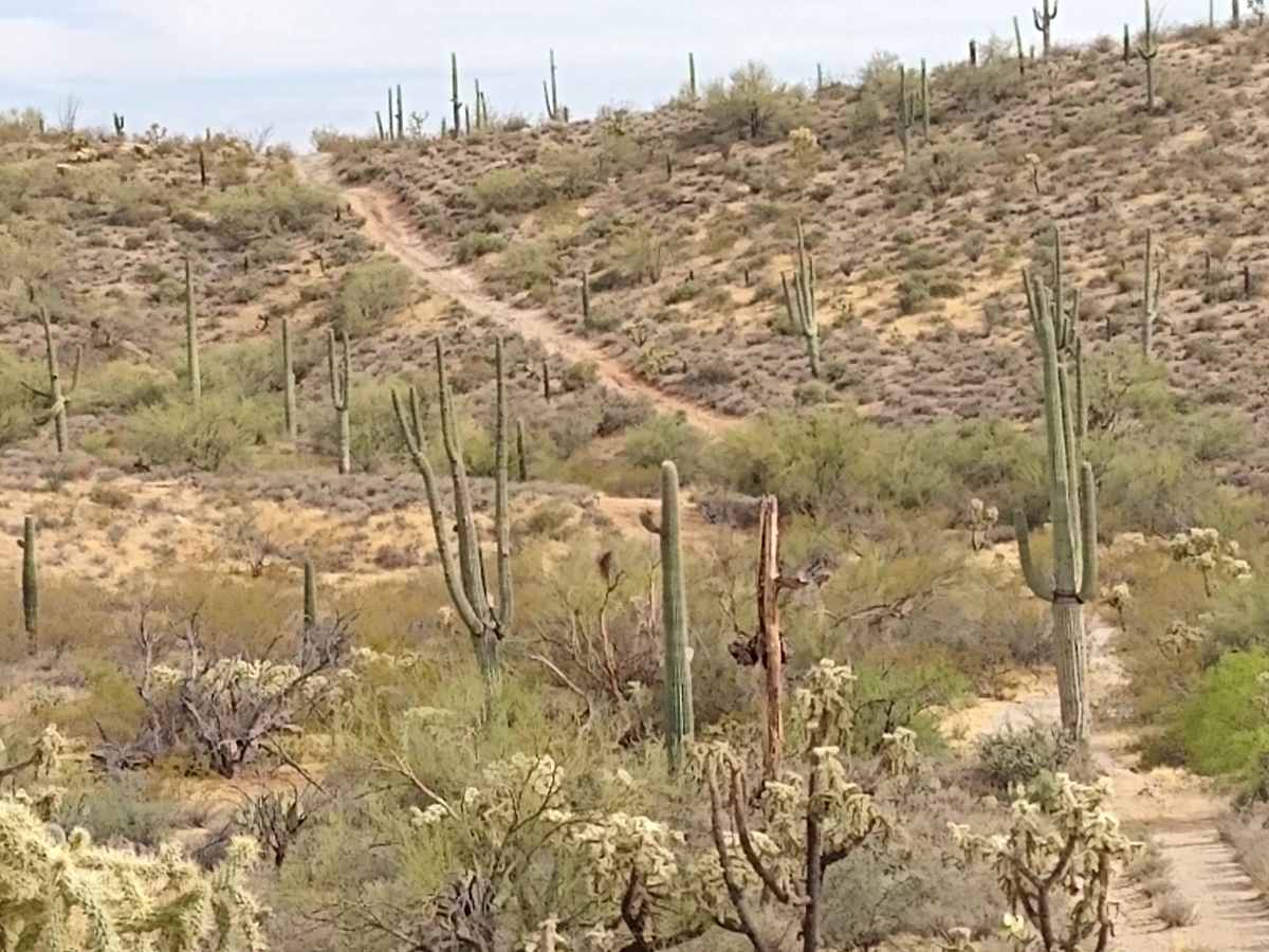
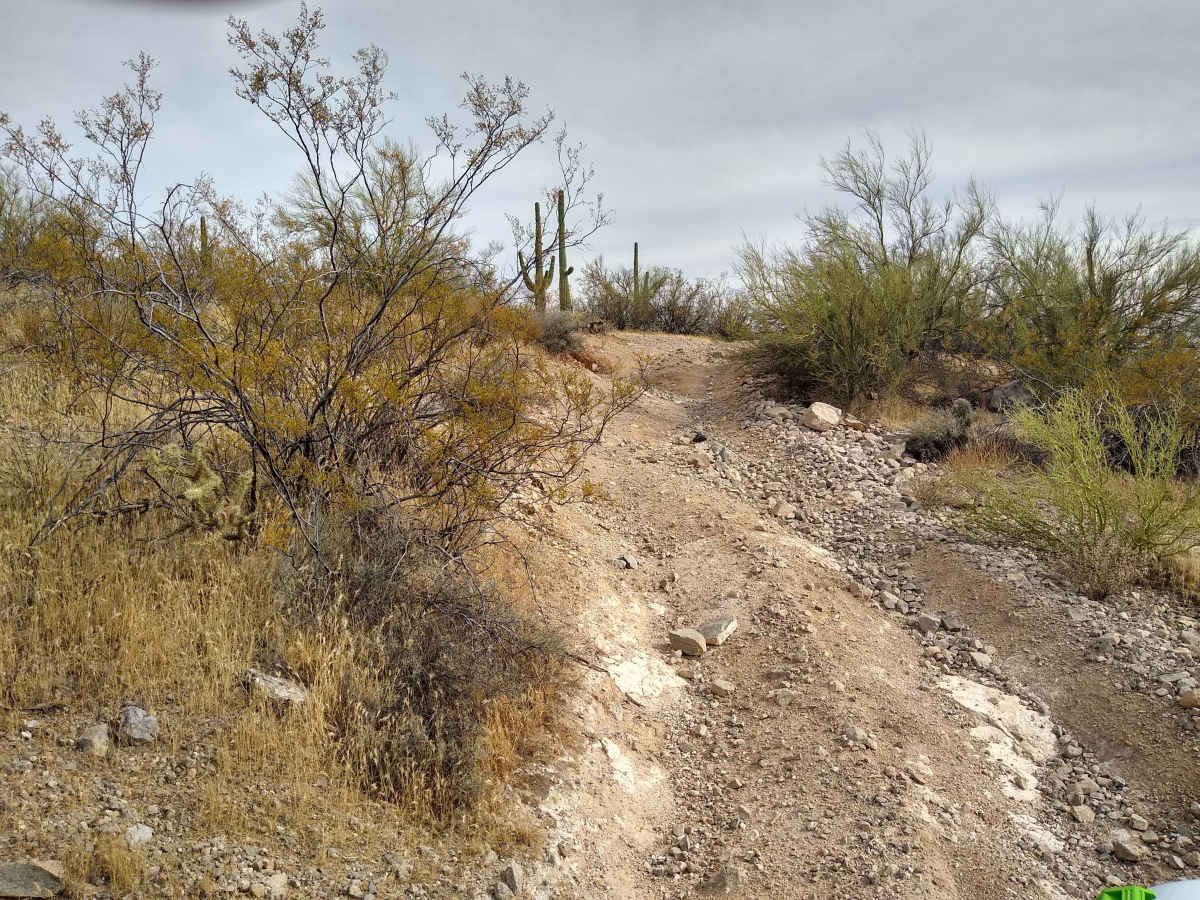
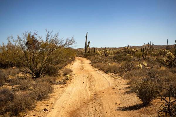
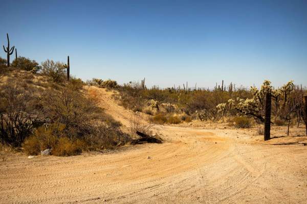
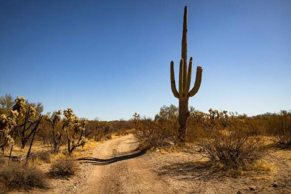
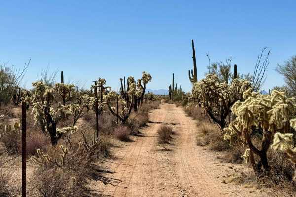
Tucked into the rugged Ninety-Six Hills region off East 96 Ranch Road, Davis Pathway is a scenic, 4.1-mile track that offers an engaging Pinal County backcountry driving experience culminating in a spectacular Scenic Outlook. The route features a dynamic mix of terrain, beginning at an elevation of roughly 2,581 feet and climbing steadily through dense desert vegetation to a peak of 2,730 feet. Drivers will navigate an engaging variety of surfaces, including loose, rocky patches and eroded, rutted corridors that present frequent climbs, descents, and mild off-camber stretches, with the prominent Scenic Outlook milestone providing panoramic, elevated views of the surrounding desert valleys and cactus forests. Because it packs a diverse assortment of entry-level terrain challenges without introducing extreme or vehicle-damaging rock obstacles, Davis Pathway serves as an outstanding, real-world training ground for beginner off-roaders looking to actively hone their skills in deliberate line selection, hill climbing traction, low-gear descents, and wheel placement while being rewarded with an incredible view. Dispersed camping is widely available across the surrounding Arizona State Trust Land boundaries, though a valid recreational permit must be purchased online prior to staging or driving in this region, and cellular connectivity drops off entirely within these mountain valleys, making downloaded offline map packages absolutely essential.
Difficulty
A technical rating of 3 is assigned to Davis Pathway due to its continuous elevation shifts, narrow single-lane conditions, and loose surface obstacles encountered along the 4.1-mile climb to the Scenic Outlook. The route transitions through frequent rocky climbs and descents that peak at 2,730 feet, necessitating careful throttle management and low-range traction control to safely navigate the slopes. Additionally, natural erosion has created deeply rutted sections and off-camber transitions that require drivers to practice deliberate line selection and precise tire placement. While entirely accessible to high-clearance stock 4x4 vehicles and standard sport utility platforms, these combined physical traits demand an active understanding of basic vehicle dynamics, distinguishing it as a true entry-level moderate training track with a rewarding destination.