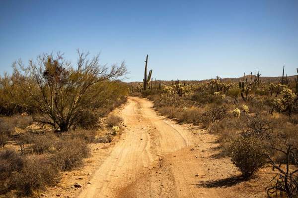
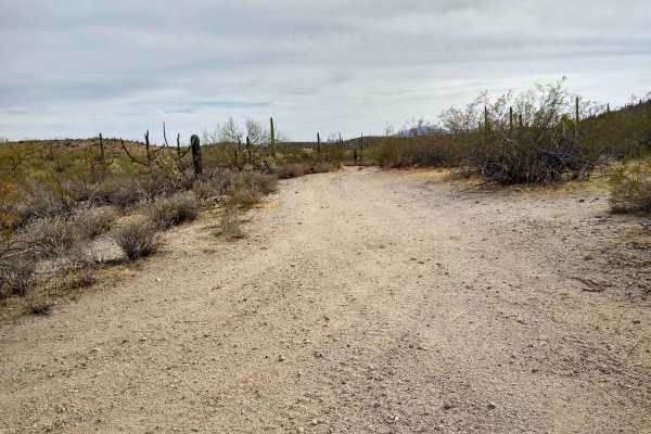
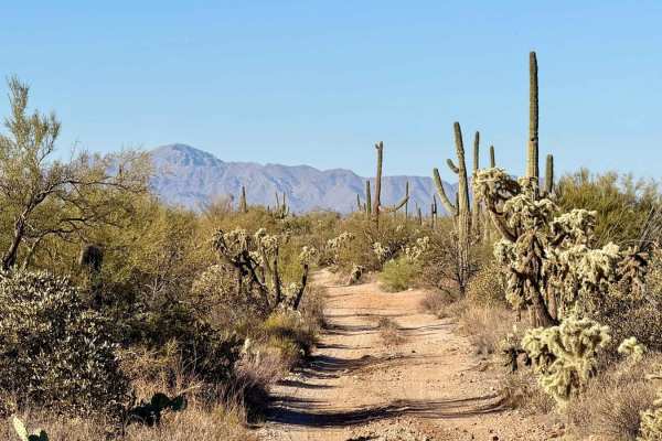
Trail Overview
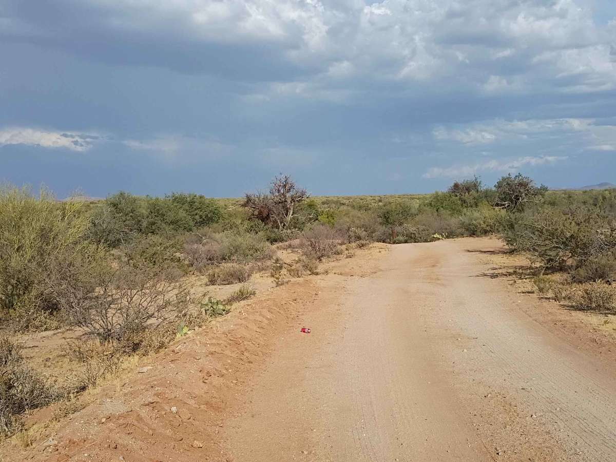
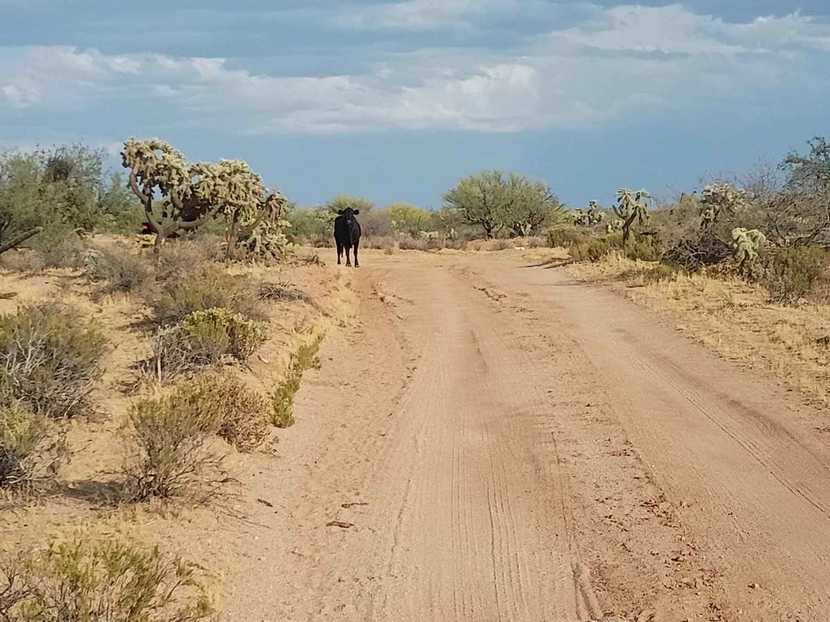
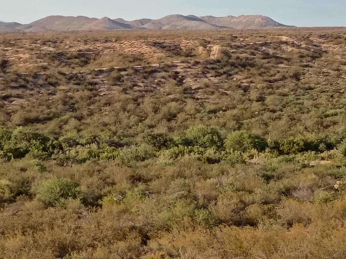
Beginning off Barkerville Road and ending in the Cottonwood Wash, this scenic route gives drivers the choice to loop back or explore several connecting trails at the end. The trail is fairly easy overall, making it an excellent choice for beginners looking to build their off-road skills. However, a high-clearance vehicle is highly recommended. Expect multiple deeply rutted and eroded sections that will challenge you with off-camber driving. You will also cross several dry washes and drive directly through the sandy bottoms of a few others. There are several spots to pull over and enjoy panoramic desert views of the surrounding mountains. Keep an eye out for local wildlife and livestock along the route. This trail crosses active rangeland. Please remember to close all gates behind you.
Difficulty
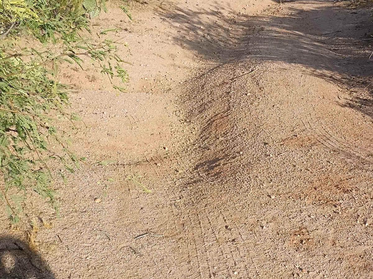
This trail is rated a 3 due to continuous erosion and changing terrain that require high clearance. While highly approachable for beginners, it features numerous deep ruts and under-12-inch shelves that will put your vehicle into off-camber positions. Additionally, you will drop into and drive through several loose, sandy dry washes that require steady throttle control.