Crapshoot

Total Miles 7.3
Technical Rating
7 Difficult
Best Time Spring, Winter, Fall
Trail Type High-Clearance 4x4 Trail
Accessible By
Open Trail Map

Trail Overview

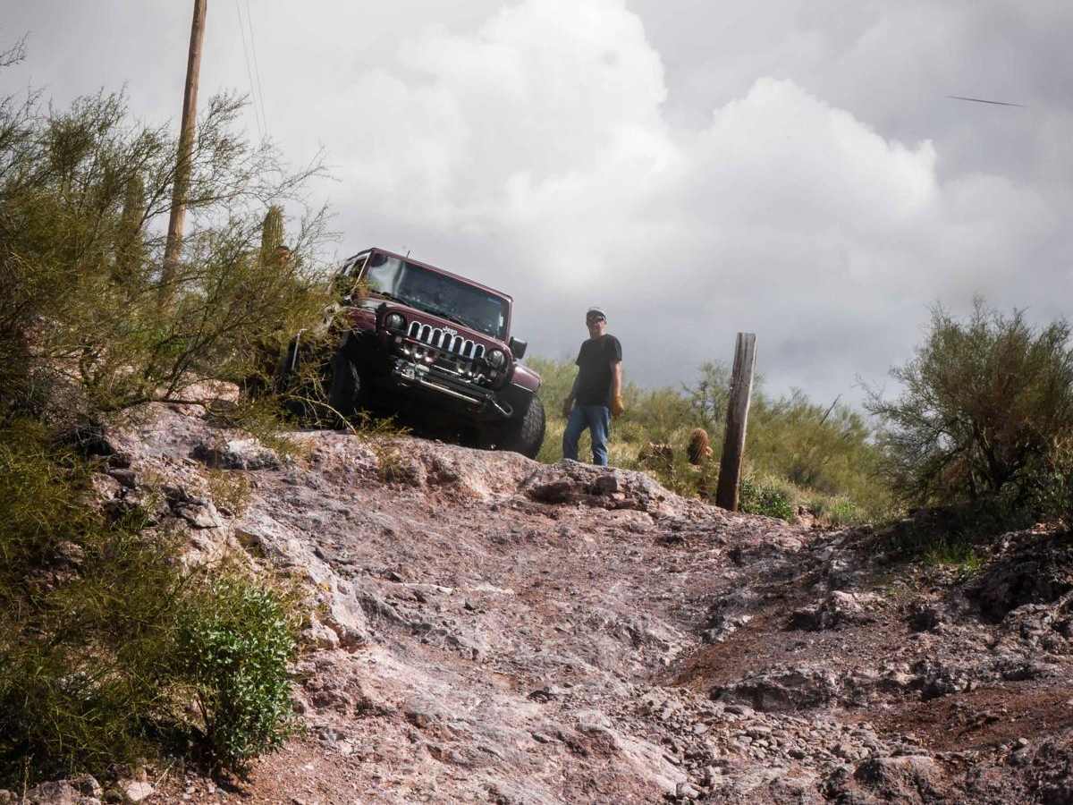
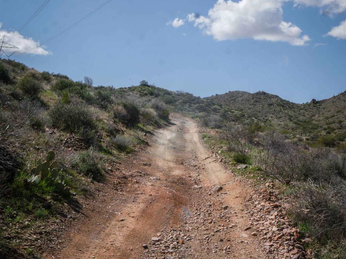
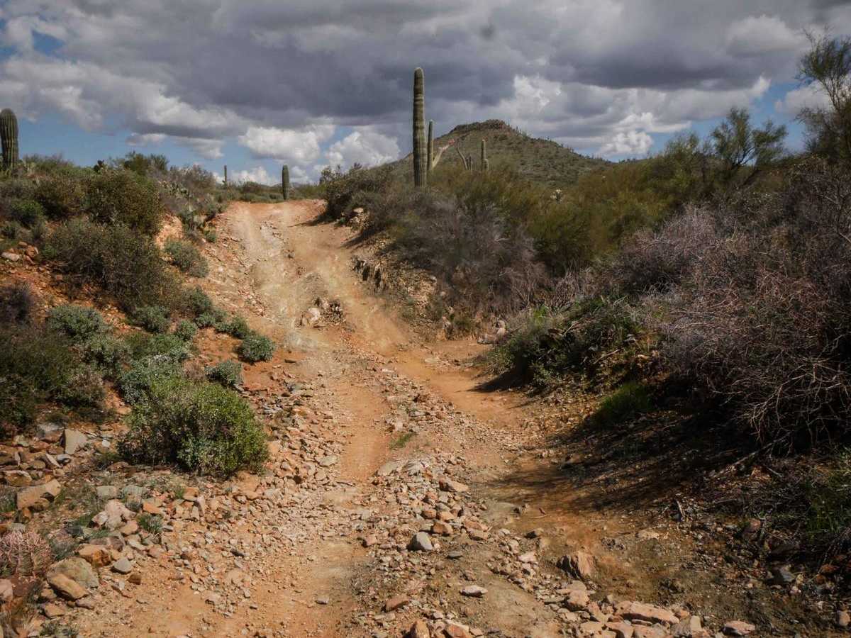
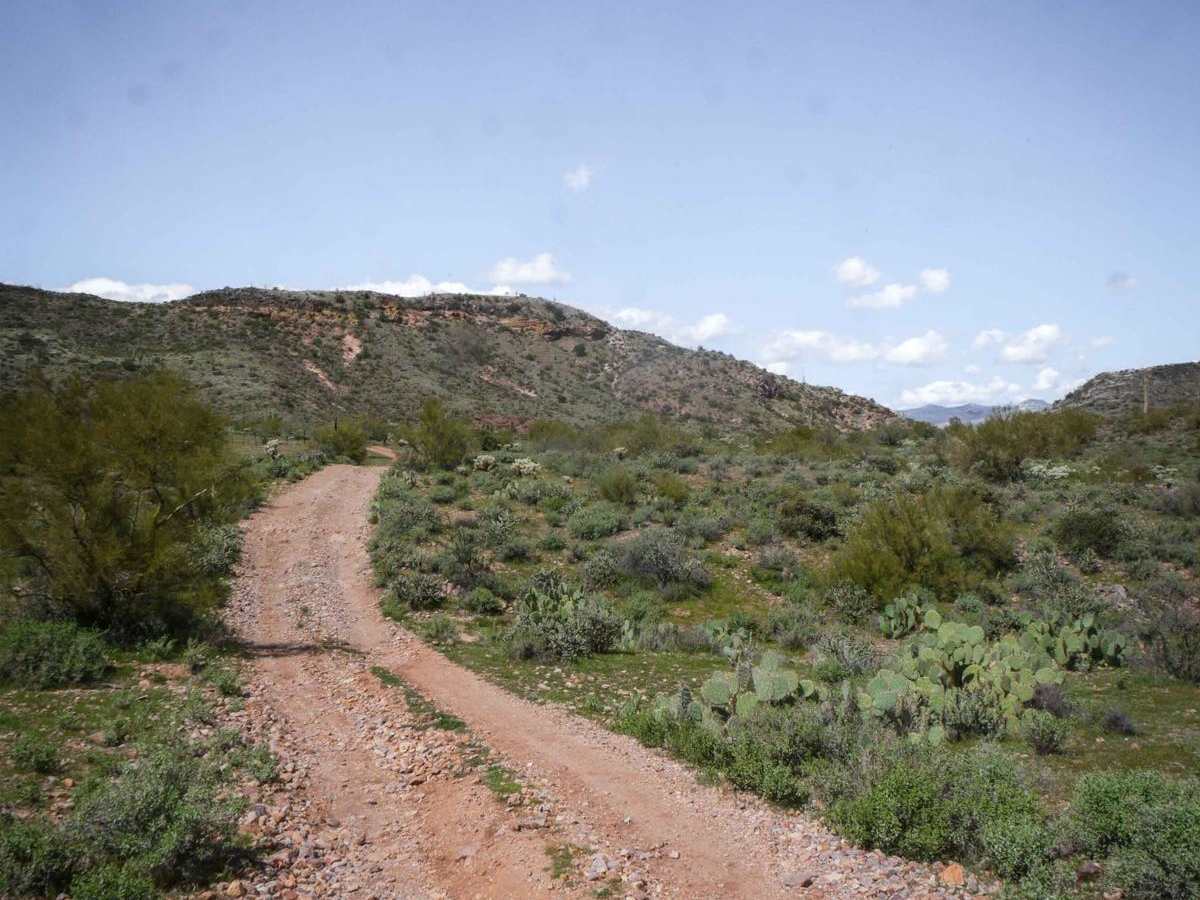
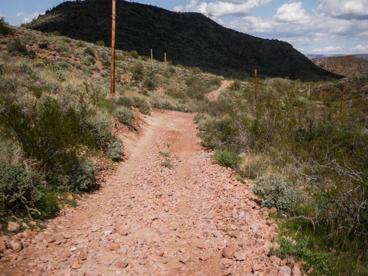
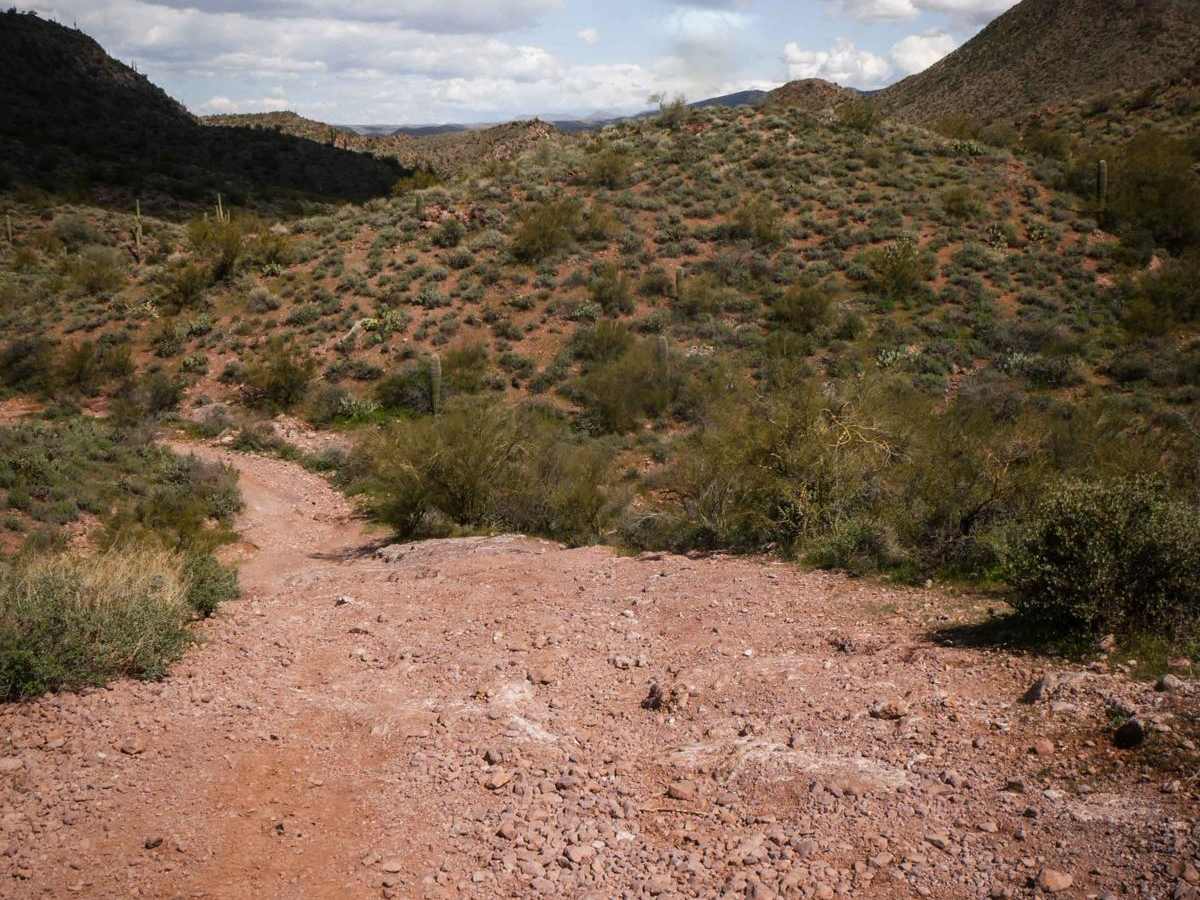
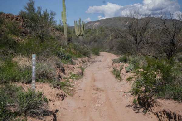
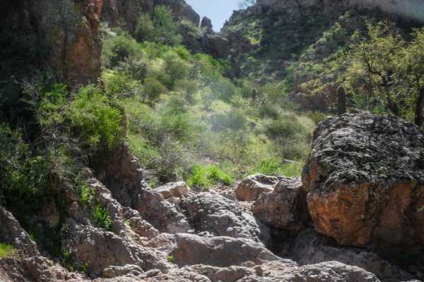
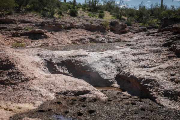
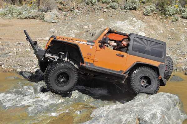
This trail gets its name from the hill, which has some rolling steps in it. Crapshoot is an advanced trail off of Table Mesa Road due to many steep and loose climbs and descents and several rock-ledge obstacles. The difficulty of this route will totally depend on your type of vehicle and experience level, but is generally considered a harder route. The main obstacle is on the west side of the loop, about 1.5 miles from the west entrance. It's a steep hill on slab rock with ledges several feet high on the side of the hill. If you go counterclockwise, you'll be going down this obstacle, which could make it a bit easier. Much of the trail is faster underneath the powerlines, on an easy and wide dirt road. It consistently has embedded and loose rock and ruts typical of a high-clearance road. But it also has some bigger dips to cross the ravines and lots of hills and descents to go through this rolling hilly terrain. It gets into sections that are a much rockier surface, full of loose rocks, making it harder to find traction. Some sections are also more narrow between the bushes. It has really nice views the whole way, getting up on top of a ridgeline where you can see the whole valley, with steep exposed sections and loose rock. You have to open and close gates and there are lots of unmarked intersections throughout the trail.

Photos of Crapshoot

Difficulty

This is an advanced trail due to 2-3 main obstacle sections made up of steep rock ledges. Much of the trail is easier, but there are also many spots with steep loose hills. The ledges are no taller than 24 inches.

Technical Rating

7

Status Reports

Add Status Report
Justin Bierman
Nov 29, 2025
Open
The trail is a bit washed out from all the rain we got.
Troy D
May 26, 2025
Open
First time on this trail and probably the last. It wasn’t terribly difficult, but you most certainly need 4L to make this. Did the entire loop in a stock Bronco badlands Sasquatch. Also definitely need a high clearance vehicle to minimize undercarriage damage The sketchiest part was the second major obstacle ( starting point being the western/furthest entrance). It is off camber and loose large rocks that keep you from tumbling down the side of an actual mountain. If the trail was dirt and not super rocky, it wouldn’t be that bad. But I had to turn the wheel into the mountain because the entire vehicle kept wanting to slide off the trail. The trail itself looked pretty eroded or washed out but I was already committed with nowhere to turn around lol the rest of the trail was slow crawling with pretty sharp rocks and I’m surprised we didn’t puncture a tire. The whole loop took us 2.5hrs with minimal sight seeing stops.
Nick Muscolino
Dec 01, 2024
Open
Entered on the East side entrance which we now know is backwards from what we believe should be the intended direction. We got about 3/4 of the way through and we hit the massive hill out of the wash. Going up I would call impossible without lockers on all four corners because it’s so slippery and steep , going down I could see most high clearance vehicles on 35s doing ok. The rest of the trail up to that point was pretty easy with some parts with easier lines or harder lines depending on your type of fun. If you want to complete the trail enter on the west entrance further down table mesa.
Chris Moffatt
Nov 28, 2024
Open
Went out tonight for my first time on this trail. The hill going down into the narrow wash has a nasty drop about half way down. Definitely had the rock sliders to help. Other than that seemed pretty easy. Took me just over 2hrs to complete.
Jacob Hallman
Aug 24, 2024
Open
Took my 99 suburban unmodified mechanically, made it with ease. Trail seem a little washed out from recent rain but nothing effecting trail ride. Amazing ride!
Thomas Stewart
Apr 21, 2024
Open
We connected to this trail about halfway from the south and went east towards the I-17

Crapshoot Trail can be accessed by the following ride types:

  • Single Track
  • 50 Inch
  • 60 Inch
  • High Clearance

Crapshoot Map

The onX Offroad Difference

onX Offroad combines trail photos, descriptions, difficulty ratings, width restrictions, seasonality, and more in a user-friendly interface. Available on all devices, with offline access and full compatibility with CarPlay and Android Auto. Discover what you're missing today!

Open Trail Map