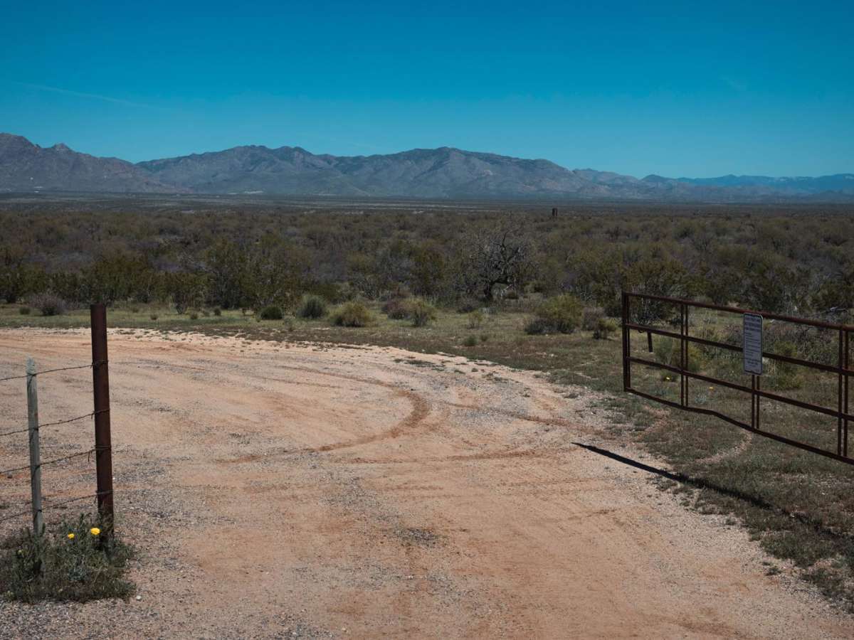
Trail Overview
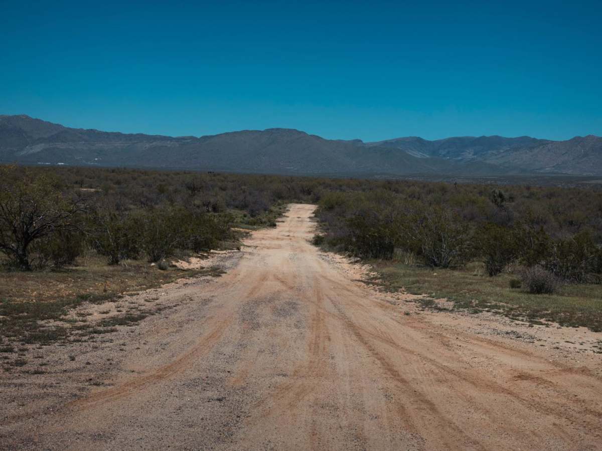
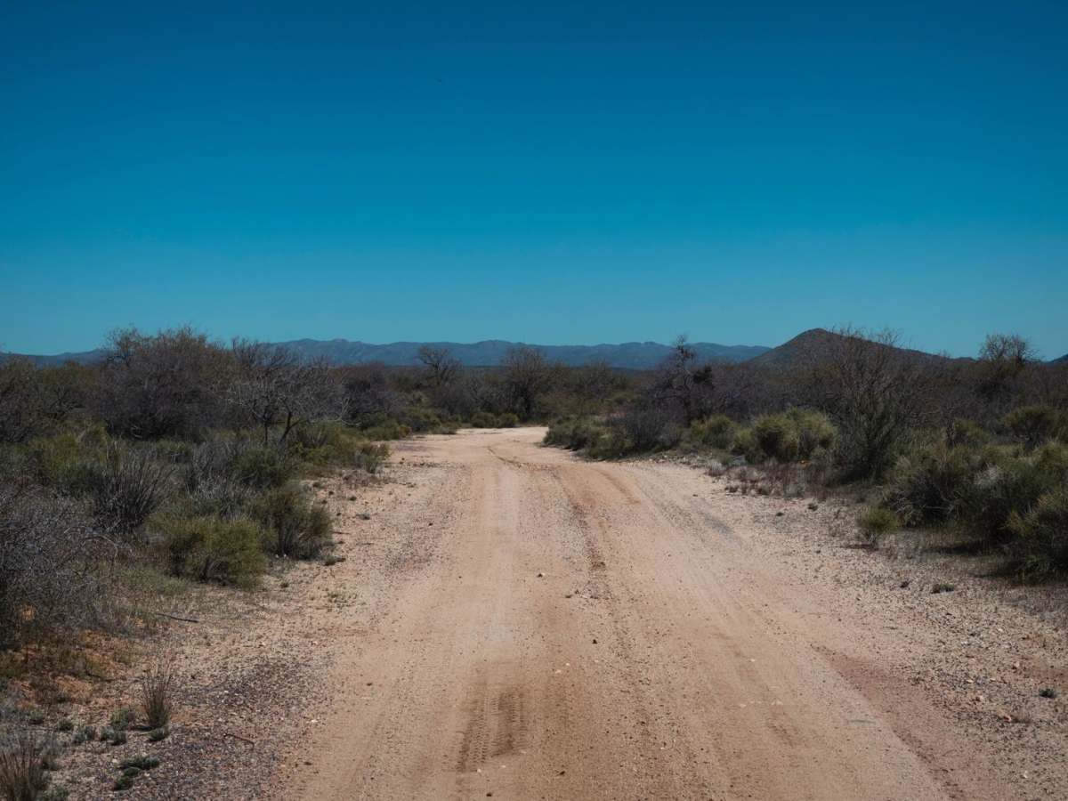
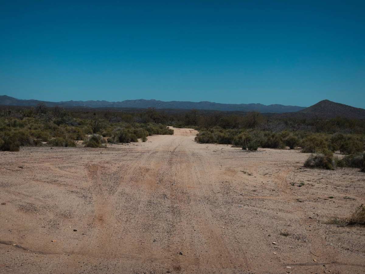
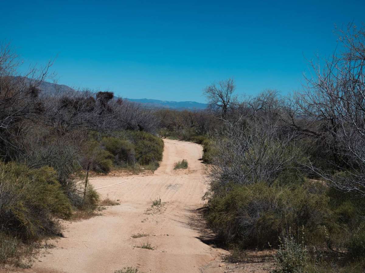
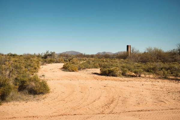
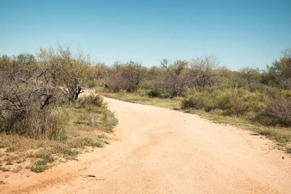
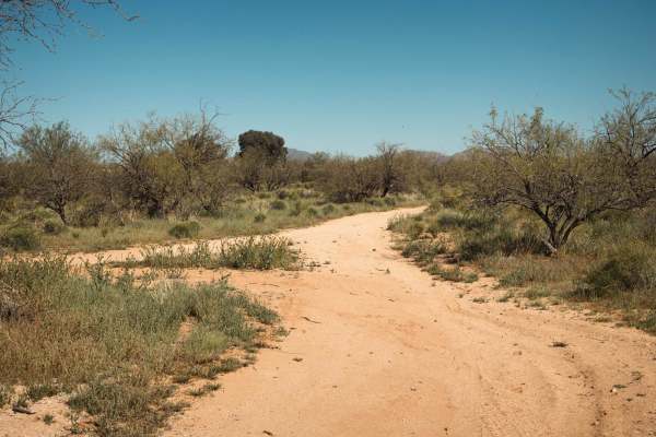
The Congress Cross Cut trail is a great trail for a few reasons. First, the access is immediately off of Arizona Highway 89. Second, it's a mellow trail that is great for getting your feet wet for what lies in this specific area surrounding the town of Wickenburg, Arizona. And third, and possibly most important, this trail has a great deal of varying terrain in a short amount of distance. You'll start on sand/dirt hardpack and transition across numerous sandy washes. Then it will take you up and down rocky hills with loose rock and gravel, with some erosion and spots that are off-camber and a shelf-road experience mixed in. This land requires a yearly permit that can be purchased and printed online. The permit allows certain recreational activities, including camping, bicycling, bird watching, GPS-based recreational activities (geocaching), hiking, horseback riding, off-highway vehicle (OHV) usage, photography, picnicking, and sightseeing. There are no major obstacles on this trail, though some of the erosion and hills are a bit technical, so pay attention to proper line choices.
Difficulty
This is an unmaintained trail with areas that include sandy washes with steep entrances and exits, rocks and erosion that are up to 12 inches, and hills with short, steep grades.