Chloride Mines

Total Miles18
Technical Rating
4Moderate
Best TimeSpring, Fall, Winter, Summer
Trail TypeHigh-Clearance 4x4 Trail
Accessible By
Open Trail Map

Trail Overview

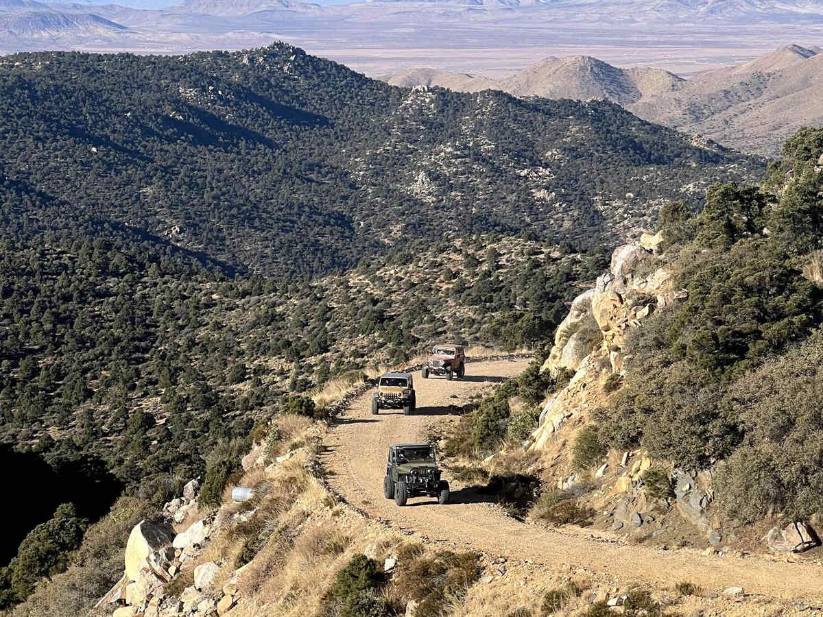
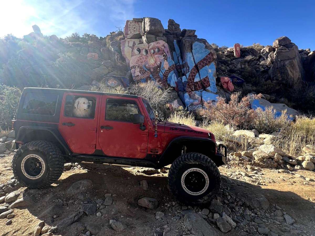
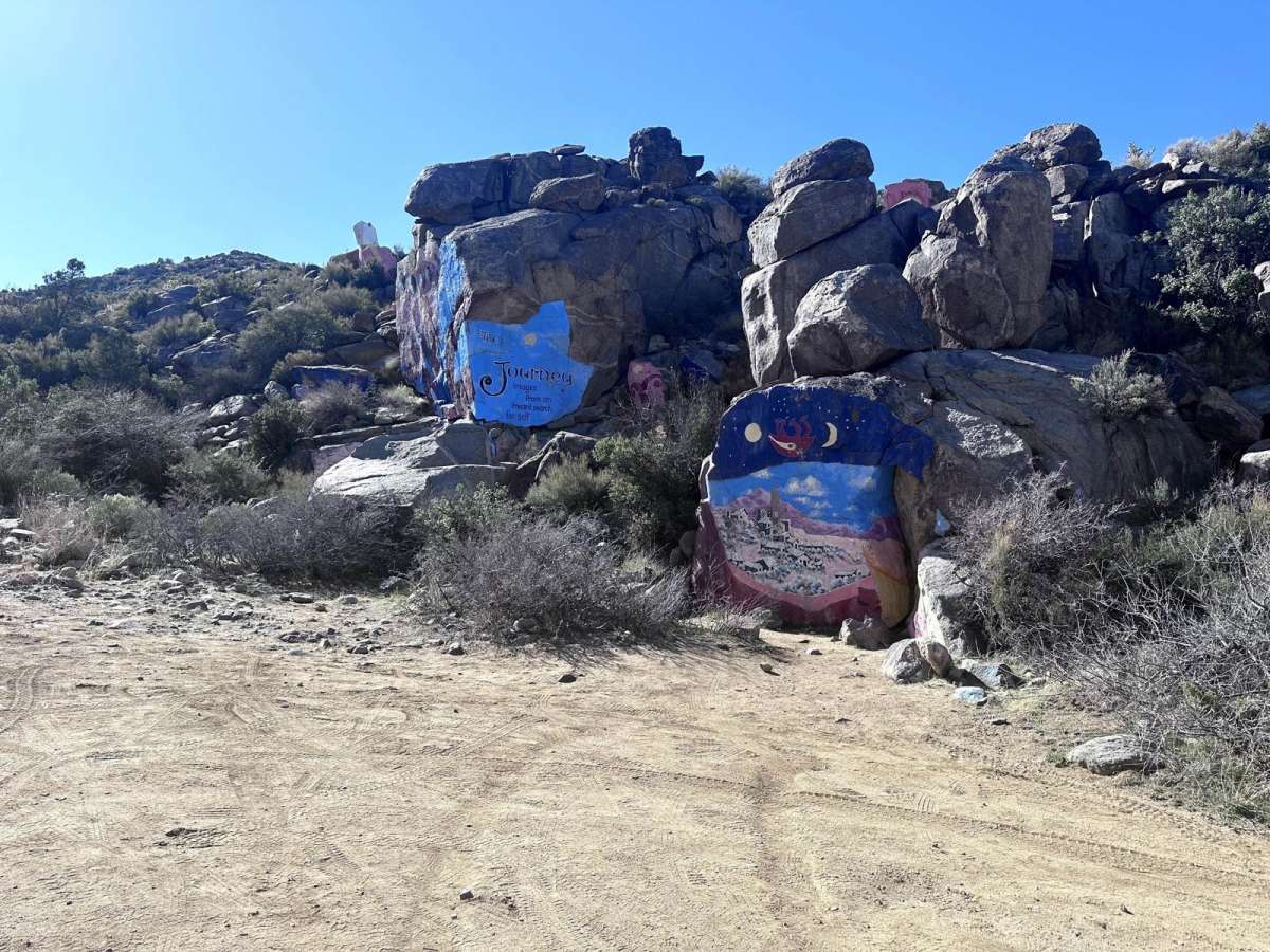
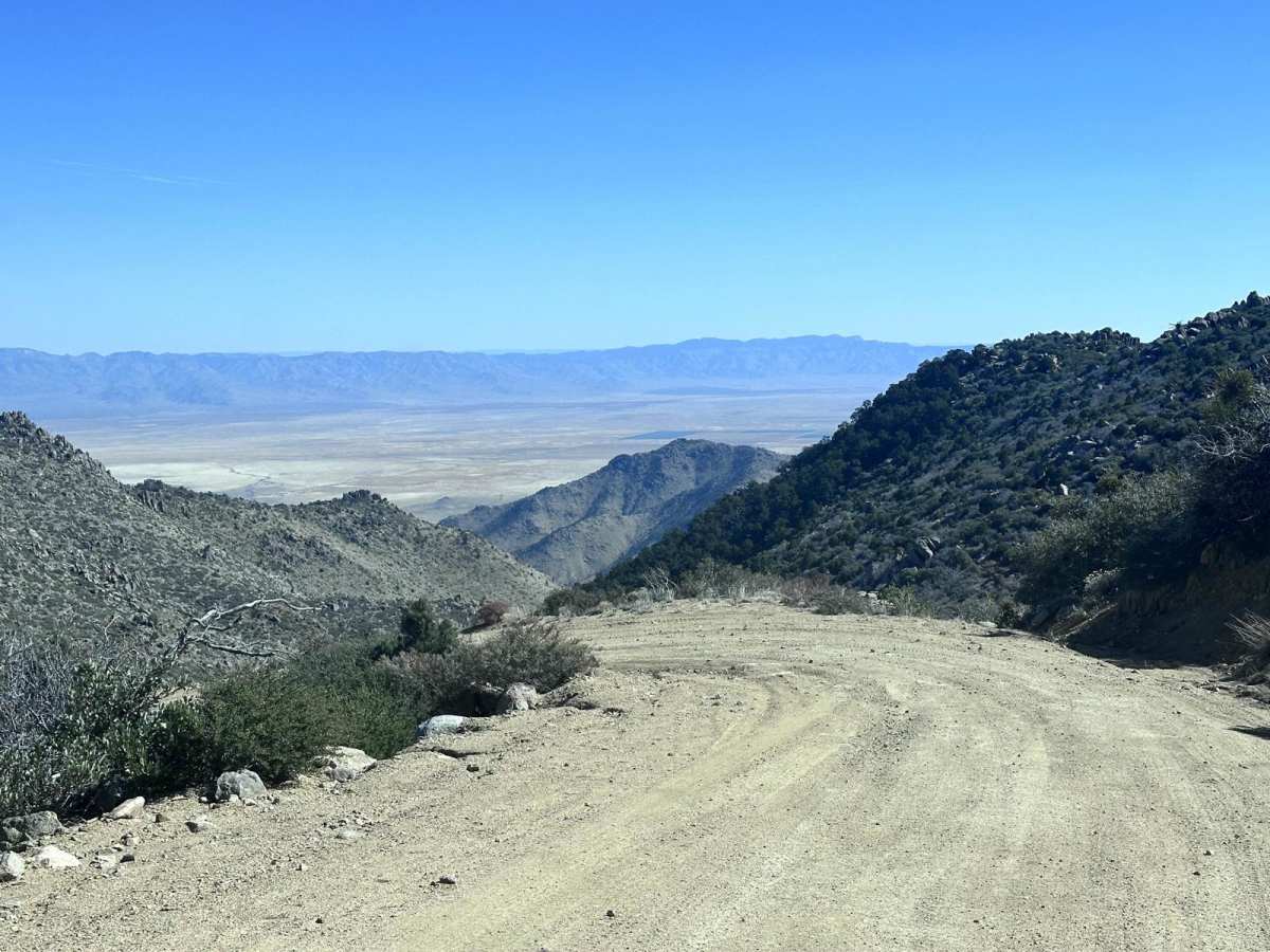
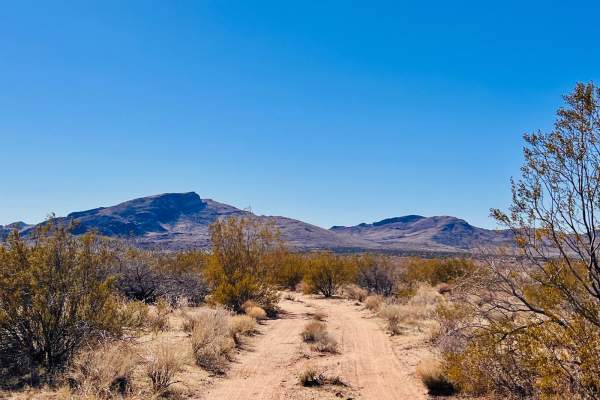
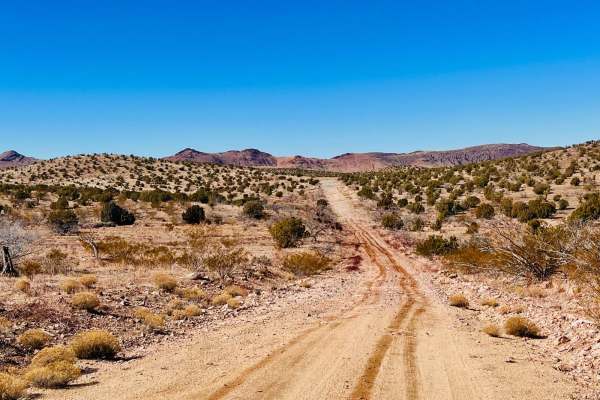
This moderately challenging 18.4-mile point-to-point trail is perfect for intermediate offroaders seeking stunning high-desert vistas and a mix of gentle cruising and technical shelf-road driving in the Cerbat Mountains. Starting at an elevation of 3,578 feet, the route climbs up to a scenic 6,198 feet, gaining roughly 2,896 feet of cumulative elevation along the way. Drivers can initiate the journey from either the historic town of Chloride or via Big Wash Road off Highway 93. The segment starting from Big Wash Road provides an easy climb up to the Windy Point Campground, which is highly accessible to full-width 4X4 and AWD vehicles. However, the terrain changes dramatically once the trail reaches the Cherum Peak Trail junction, narrowing to a single-vehicle-width shelf road that is entirely unsuitable for long-wheelbase vehicles. Beyond the junction, drivers must navigate the technical 'S' turn at the Lucky Boy Mine, where they will face off-camber sections and tight passages between rock obstacles over 24 inches high alongside ledges up to 18 inches. After the most demanding technical segments, the trail becomes significantly easier as it approaches the colorful Chloride Purcell Murals. The route then descends back toward the town of Chloride.

Photos of Chloride Mines

Difficulty

Expect several obstacles with rocks or ledges up to 18 inches in height. The trail from Cherum Peak Trail to the Chloride Purcell Murals is one vehicle width. There are several sections of off-camber travel along a narrow shelf road.

Technical Rating

4

Status Reports

Add Status Report
Tom O
Jun 28, 2026
2026 Kawasaki Mule
Open
Headed out, started on the Chloride side past the murals and was rough and jarring until we passed the rainbow mine. Steep cliffs and some deep washouts with big rocks. Once past the lucky boy mine area it is smooth driving all the way down where we cut back over to CM1433 (via CM1507 - there is a 25-50 foot section on the corner of the AZ trust land you have to use to get over to CM1507).
Jeffrey Leiberg
Feb 24, 2026
Open
There were not any obstructions on the trail, although I would find it hard for a stock 4x4 pickup truck to manage some of the obstacles. At one point the trail became pretty challenging with rock gardens and deep off camber grooves. I had to use my lockers to overcome one of the obstacles. We found this trail to be really fun with amazing views. Windy Point Campground was awesome! If you have a high clearance vehicle, I highly recommend this trail.
Rj Nope
Jan 25, 2026
Obstructed
South of the campground is rough. Definitely red not blue. Almost too much for tall utv. Not passable by anything other than high clearance, 4 x 4 mountain bike or high clearance utv
arrik shiffer
Apr 27, 2025
Open
WashboardNormal
nice trail lots to see. 1st time on it. gets a bit narrow in spots but a good time
Luke Gebicke
Apr 19, 2025
Open
Normal
Jim Northrup
May 15, 2024
Open
Rough/Deteriorated
I drove this trail in my 2 and 1/2 in lifted Tacoma carrying about a 1300 lb payload with my camper in the back. I went from the summit to the murals. some of the off-camber stuff had me wondering what my tipping point was. once you commit to this thing, there's no going back. It got pretty hairy but I survived to write this note. 🙂
Jim Northrup
May 10, 2024
Open
Rough/DeterioratedNormal
Becki D
Mar 31, 2024
Open
Muddy/Wet
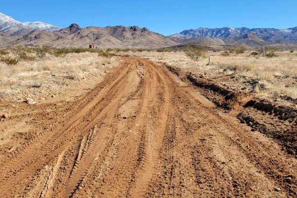
wet/muddy, very slippery road conditions due to the wet clay soils on trail.

Chloride Mines Trail can be accessed by the following ride types:

  • Single Track
  • 50 Inch
  • 60 Inch
  • High Clearance

Access Description

The route past the Cherum Peak Trail junction becomes a single-vehicle-width shelf road that is too narrow for long-wheelbase vehicles. A high-clearance 4x4 or AWD vehicle is required to navigate the technical rock obstacles, ledges up to 18 inches, and off-camber sections.


Chloride Mines Map

The onX Offroad Difference

onX Offroad combines trail photos, descriptions, difficulty ratings, width restrictions, seasonality, and more in a user-friendly interface. Available on all devices, with offline access and full compatibility with CarPlay and Android Auto. Discover what you're missing today!

Open Trail Map