Border Road

Total Miles2.6
Technical Rating
1Easy
Best TimeSpring, Summer, Fall, Winter
Trail TypeFull-Width Road
Accessible By
Open Trail Map

Trail Overview

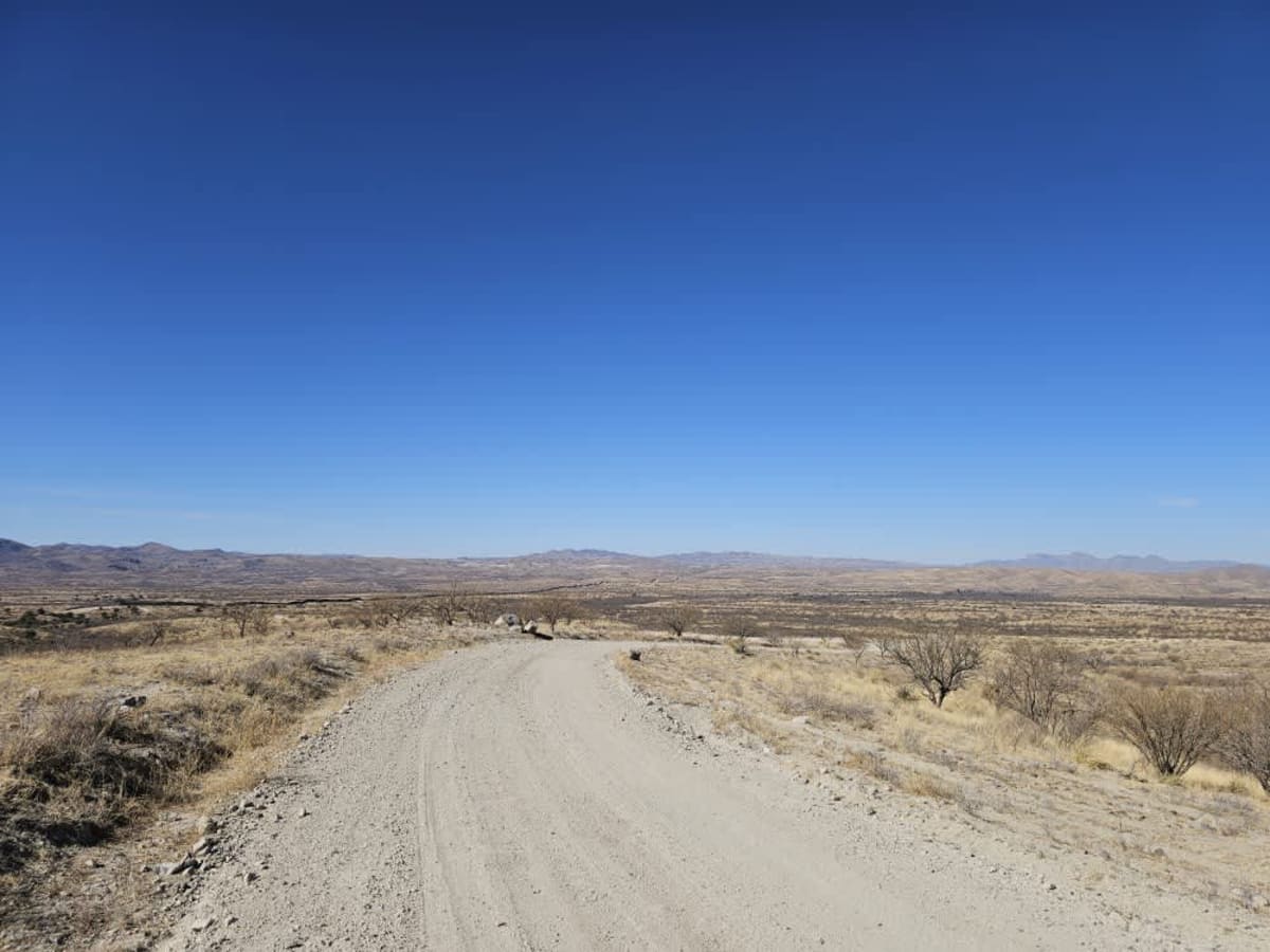
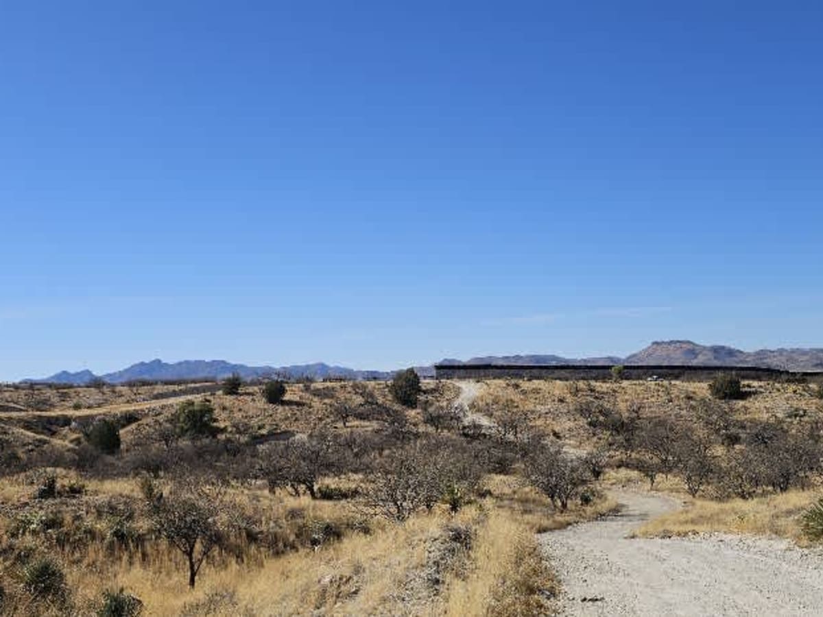
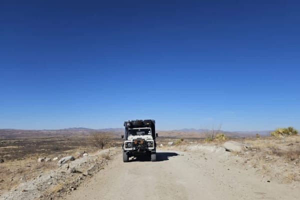
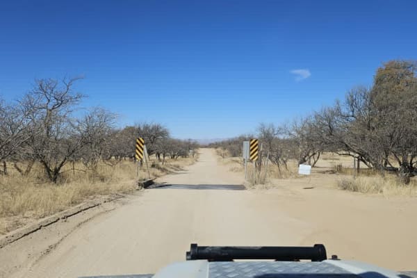
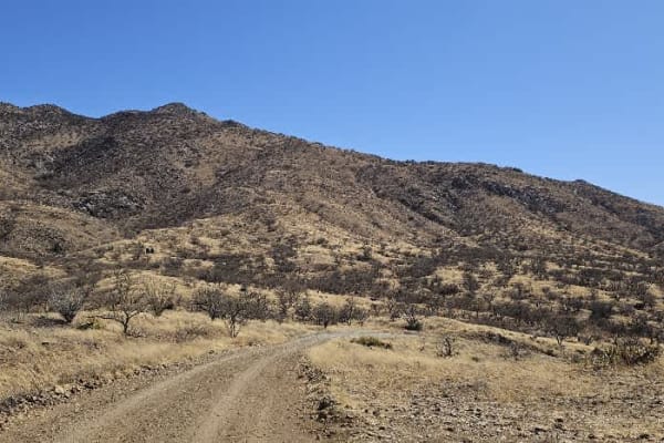
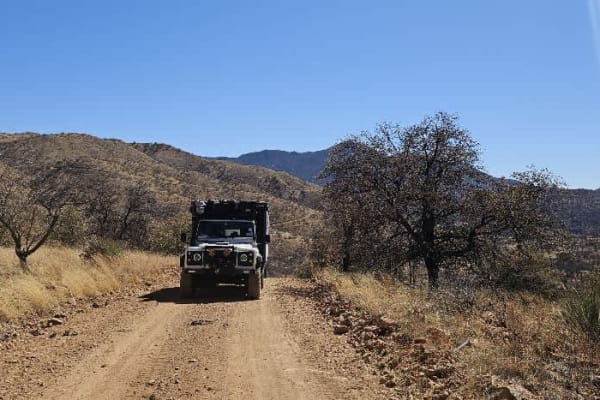
Border Road is a well-maintained dirt road that runs along the southern edge of the Coronado National Forest, paralleling the U.S.- Mexico border. This route is frequently patrolled by Border Patrol vehicles, and travelers should expect to encounter agents along the way. The presence of law enforcement helps maintain road conditions and provides a sense of security, but it's important to remain respectful of their operations and any advisories they may offer. From the 4667 connector road, you'll catch clear views of the border fence stretching across the landscape. For those curious, a short detour down to the border itself can be a unique and worthwhile experience--if permitted. Because conditions and security situations can vary, it's highly recommended to check with Border Patrol before venturing all the way to the wall to ensure access is safe and allowed. Cell service may be limited, so prepare accordingly.

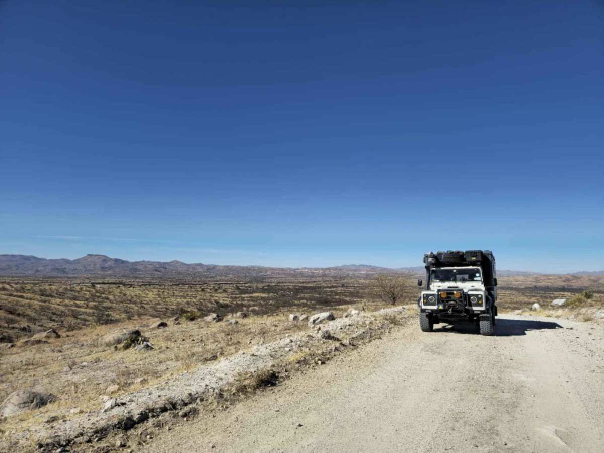
Photos of Border Road

Difficulty

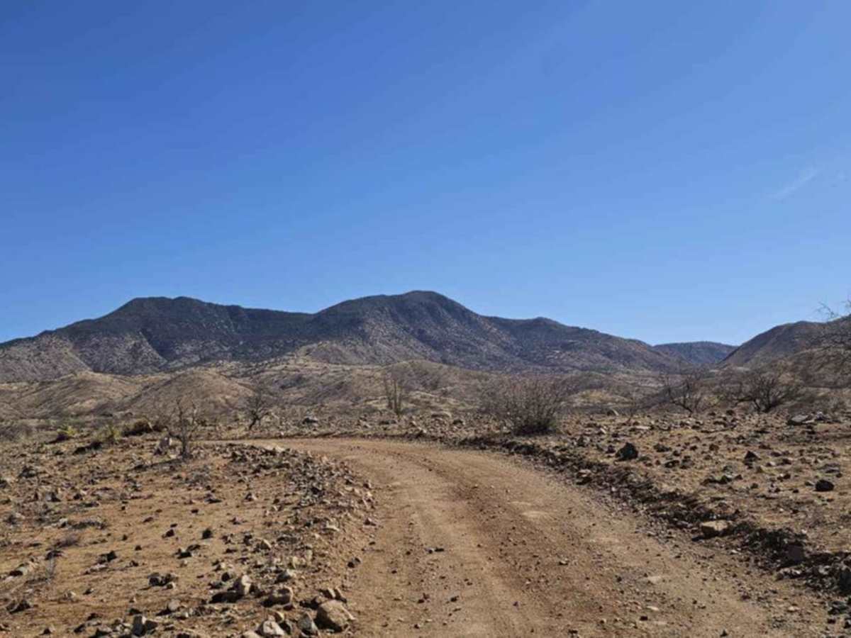
This is a well-maintained road that leads directly to the US/Mexican border. The road is frequented by Border Patrol, so the roads are kept in good condition.

Technical Rating

1

Border Road Trail can be accessed by the following ride types:

  • High Clearance
  • Full Width

Border Road Map

The onX Offroad Difference

onX Offroad combines trail photos, descriptions, difficulty ratings, width restrictions, seasonality, and more in a user-friendly interface. Available on all devices, with offline access and full compatibility with CarPlay and Android Auto. Discover what you're missing today!

Open Trail Map