Trail Overview
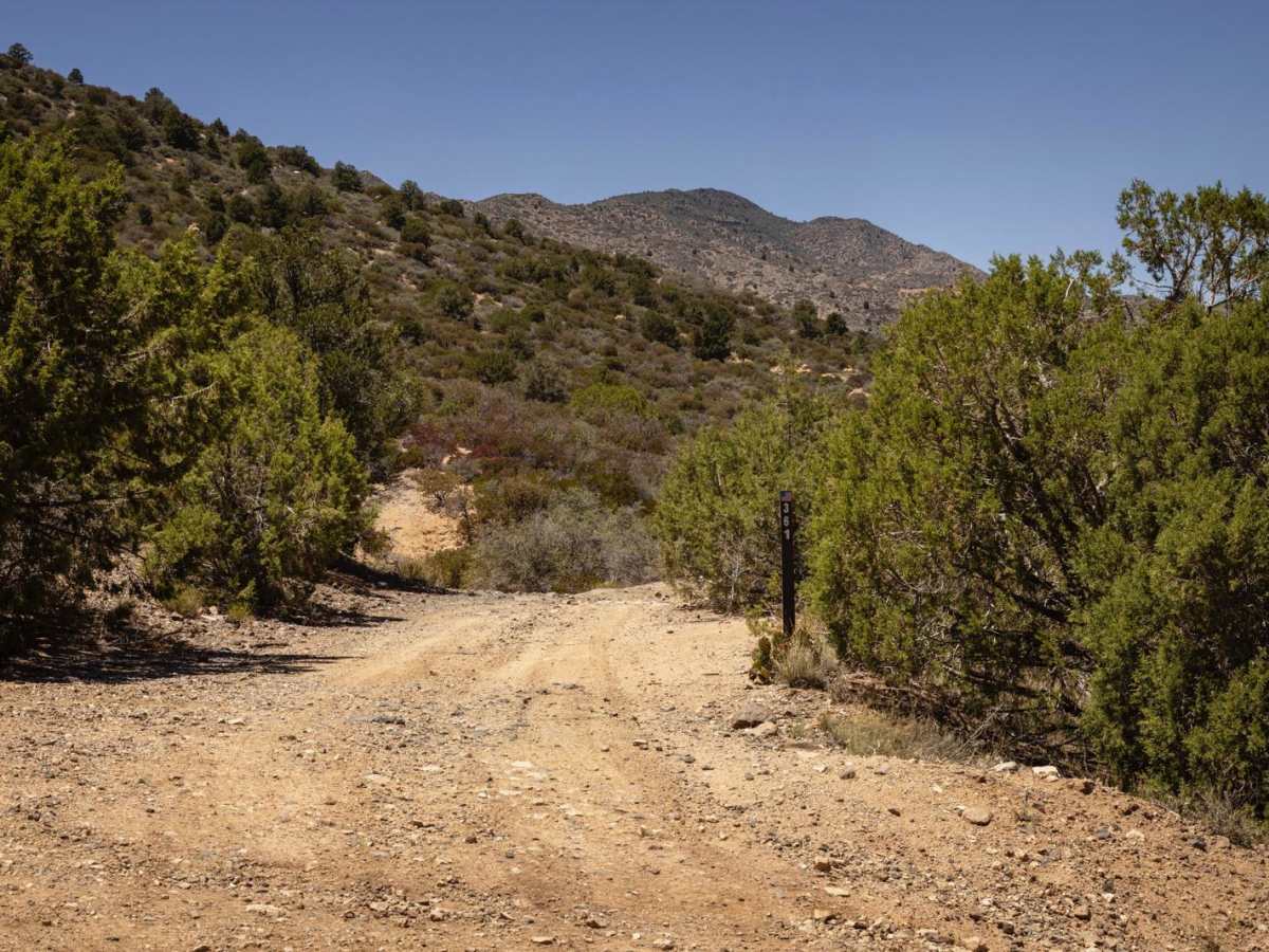
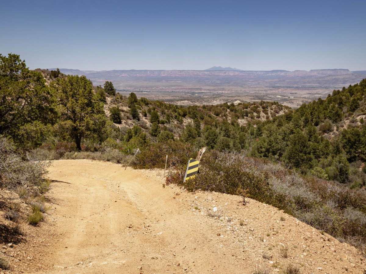
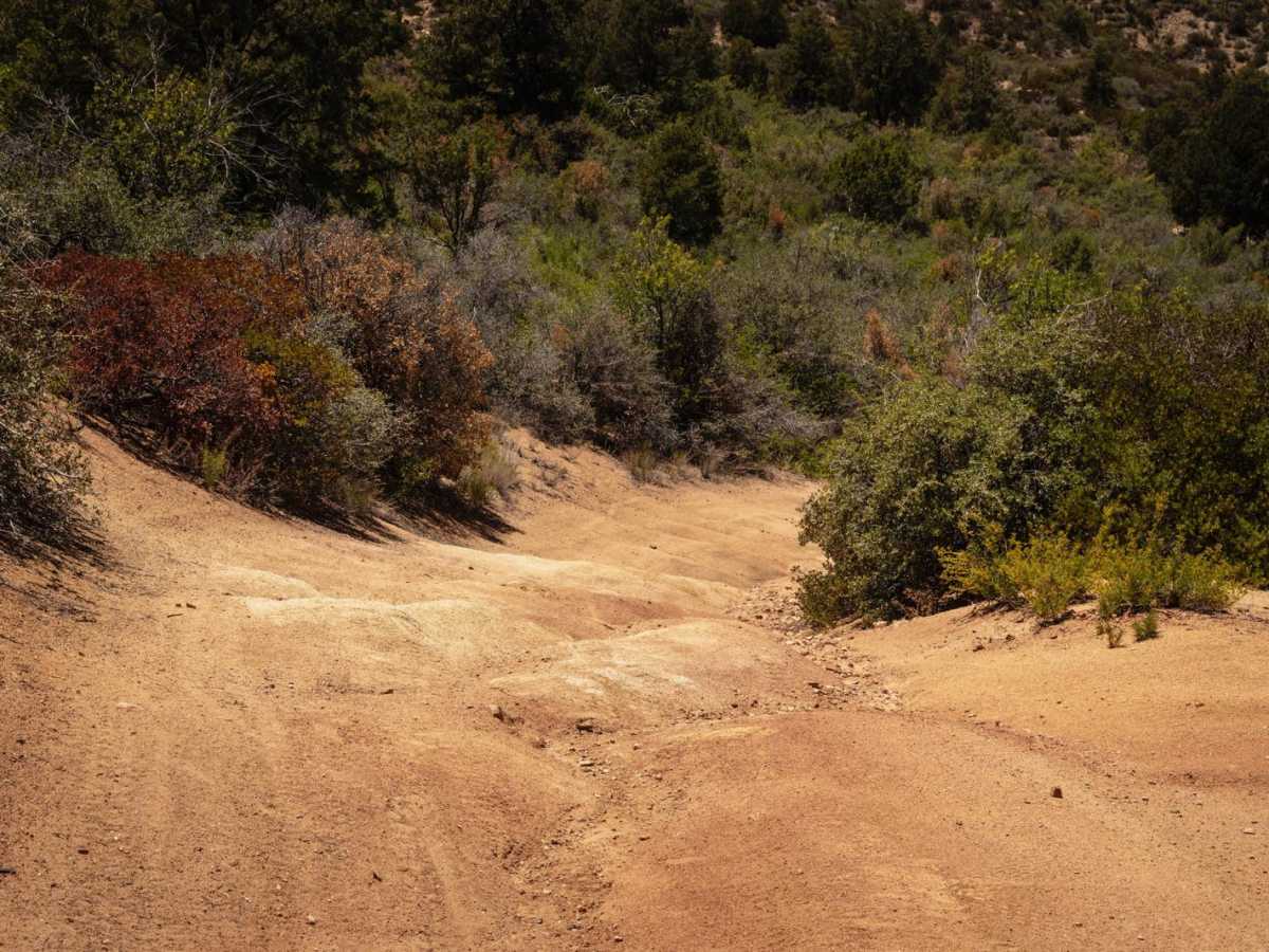
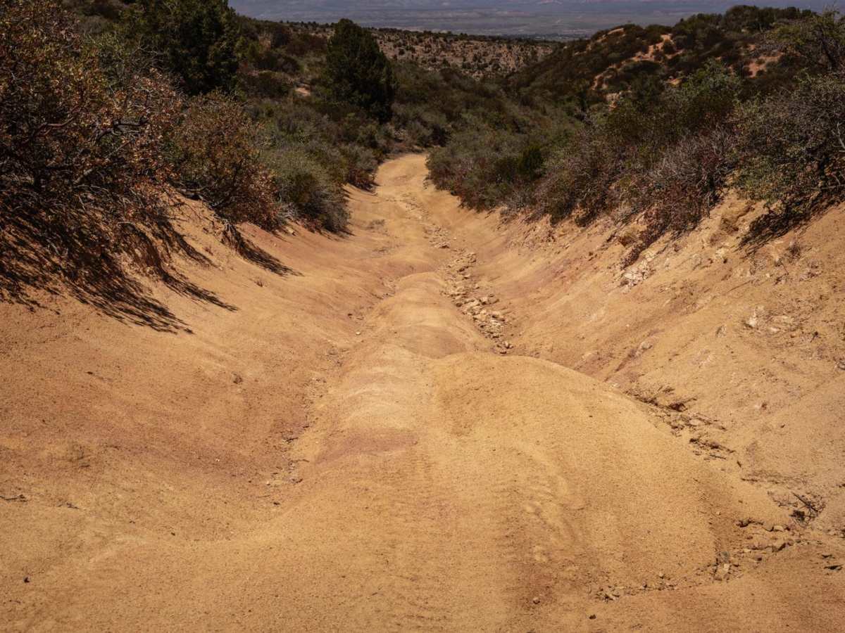
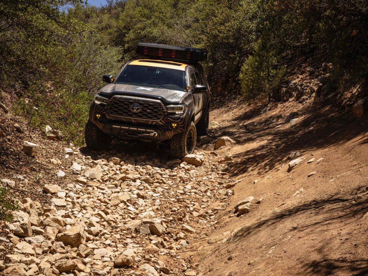
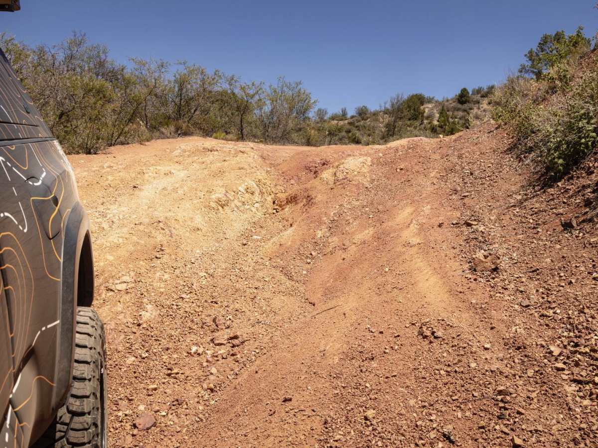
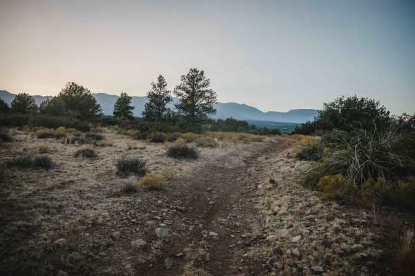
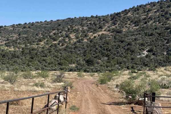
The Blue Monster Trail is a challenging, rocky route designed for experienced offroaders seeking a technical and remote climb through Arizona’s rugged Black Hills. Stretching approximately 7.6 miles with elevations ranging from 3,474 to 4,460 feet, this trail is best tackled from south to north to experience its most demanding obstacles. Drivers will navigate a relentless series of off-camber hairpin turns, steep hill climbs layered with loose rock, and challenging rocky ledges. The route’s surface consists of embedded boulders, washed-out ruts, and random rock gardens that require high-clearance four-wheel-drive vehicles with low range. Frequent erosion and water runoff damage constantly reshape the terrain, creating deep ditch crossings and changing trail conditions that demand careful line choice and active spotting.
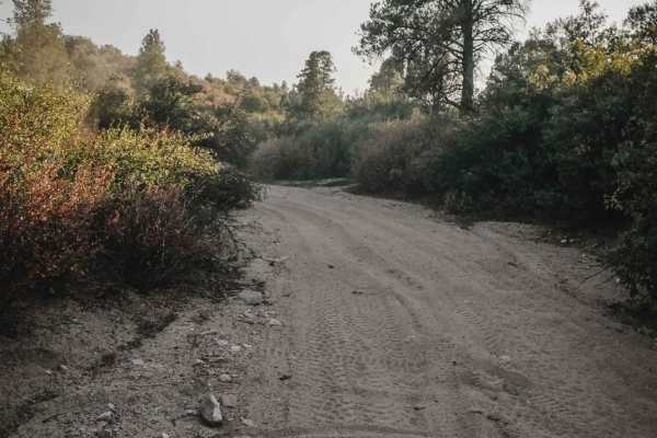
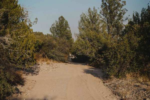
While the northern section of the trail near State Route 260 becomes less intense, it still features plenty of bumps, tight technical turns, and embedded rock to keep drivers engaged. The route passes near the historic Blue Monster Spring and weaves through an active network of historic mining areas, with several old mines and side spurs prompting optional exploration. Due to the tight, winding nature of the trail and blind corners, it is well-suited for high-clearance short-wheelbase vehicles, SxSs, and dirt bikes, though full-size vehicles should expect tight squeezes and potential pinstriping. Camping opportunities along the trail are sparse due to the steep, uneven terrain, and cellular service is highly unreliable, making self-recovery gear and downloaded maps essential for a safe journey.
Difficulty
This is a remote unmaintained trail that passes several mines and side trails. The trail is ever evolving and changing due to water damage and erosion. Typical of mining roads, this trail is rutted and rocky, with ledges and rock gardens.
History
The Blue Monster Trail in Arizona is a popular off-road route named for Blue Monster Spring, which it passes near. The trail is located within the Hayfield Draw OHV Area and is known for its twisty, rocky terrain and connection to historic mining areas. It's part of a larger network of trails, including #527N, that are restricted to 50" width vehicles.