Trail Overview
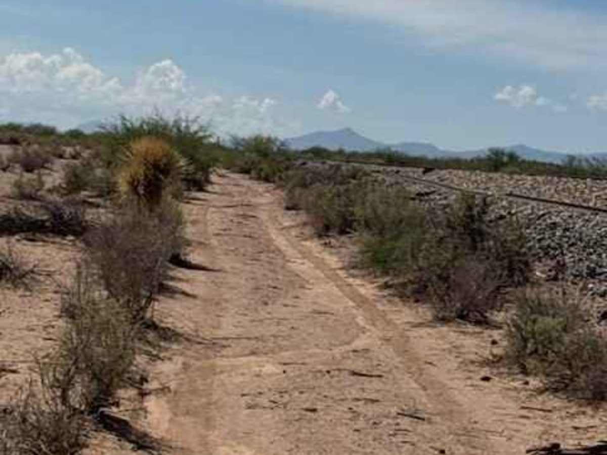
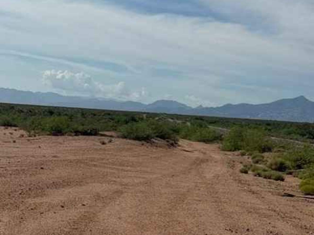
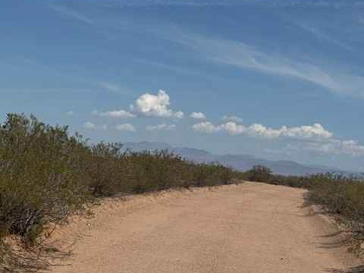
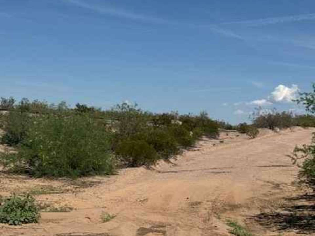
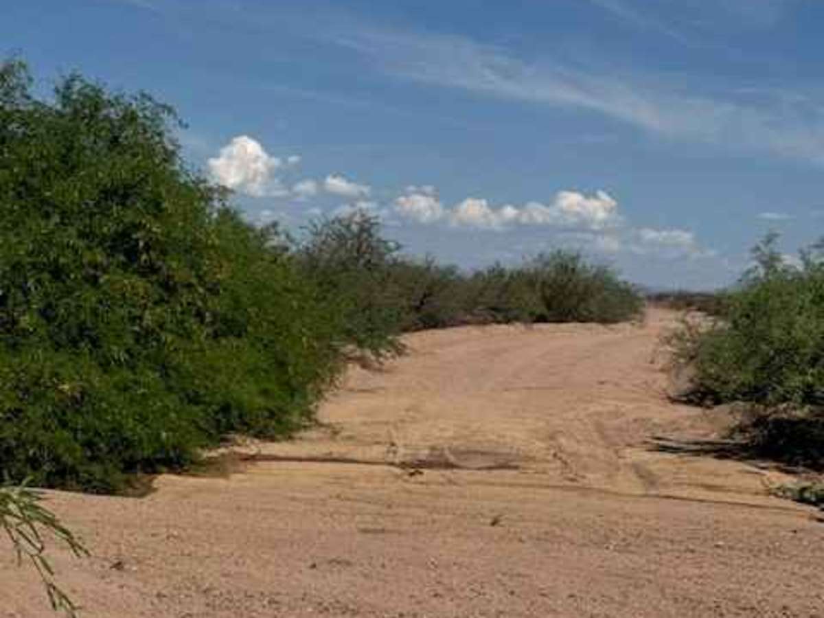
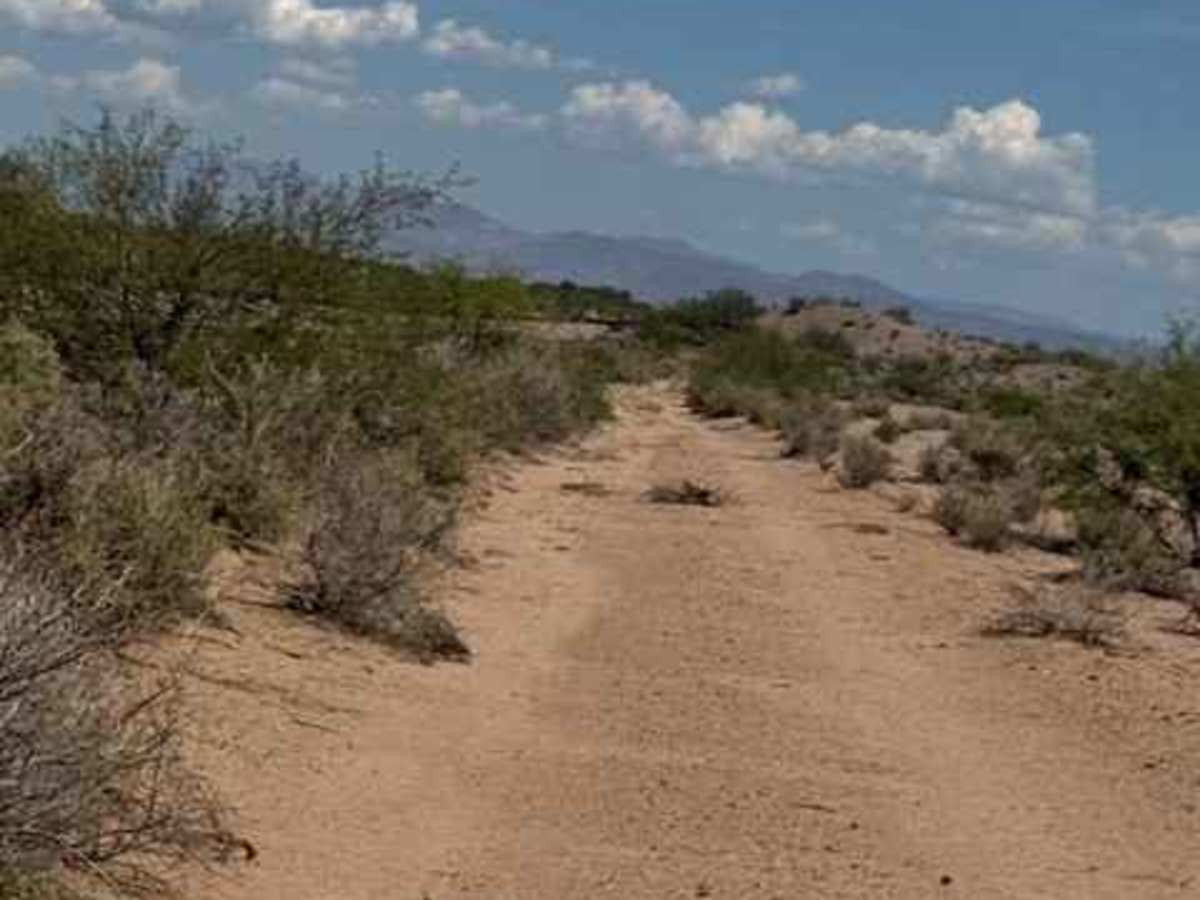
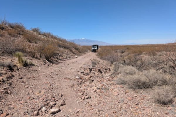
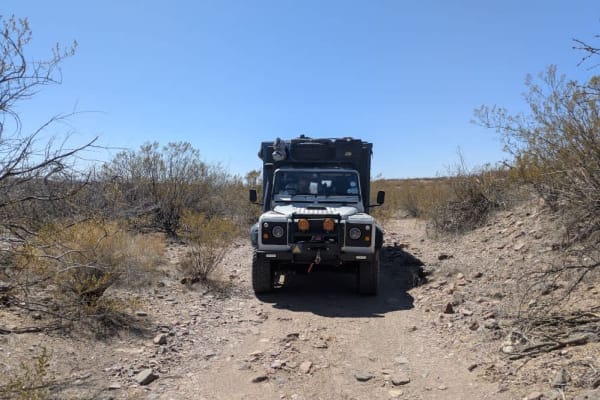
SS1016 begins at the intersection with SS1096 and initially appears to offer a wide, two-vehicle-wide gravel route running north alongside the railroad tracks toward Tanque Road and beyond. The trail is bordered by high berms and typical desert vegetation, including cholla and creosote. Numerous low spots hold water, making the route impassable in wet conditions. This section is currently completely washed out at the river crossing and no longer provides safe access across the river to the other side to continue across the railroad tracks. Tanque Road provides an alternate route back toward Highway 191 or east Tanque, to Haeckel Road when not flooded.
Difficulty
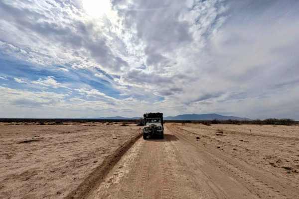
Smooth grated road on the south section with some low water crossings impassable in wet weather, but nothing technical; no obstacles. Trail no longer crosses the river to the other side of the tracks.
History
The San Simon trails aren't just desert roads—they follow a corridor that has been used for centuries. Long before 4x4s traveled these mountains, Indigenous travelers, emigrants, stagecoaches, soldiers, and prospectors crossed the San Simon Valley and the rugged passes surrounding it. The Butterfield Overland Mail established a stage station here in the 1850s, while Apache Pass became one of the most important—and dangerous—routes through southeastern Arizona. Today, many of the dirt routes through the area give you a chance to drive through the same rugged landscape that shaped early travel across the Southwest.