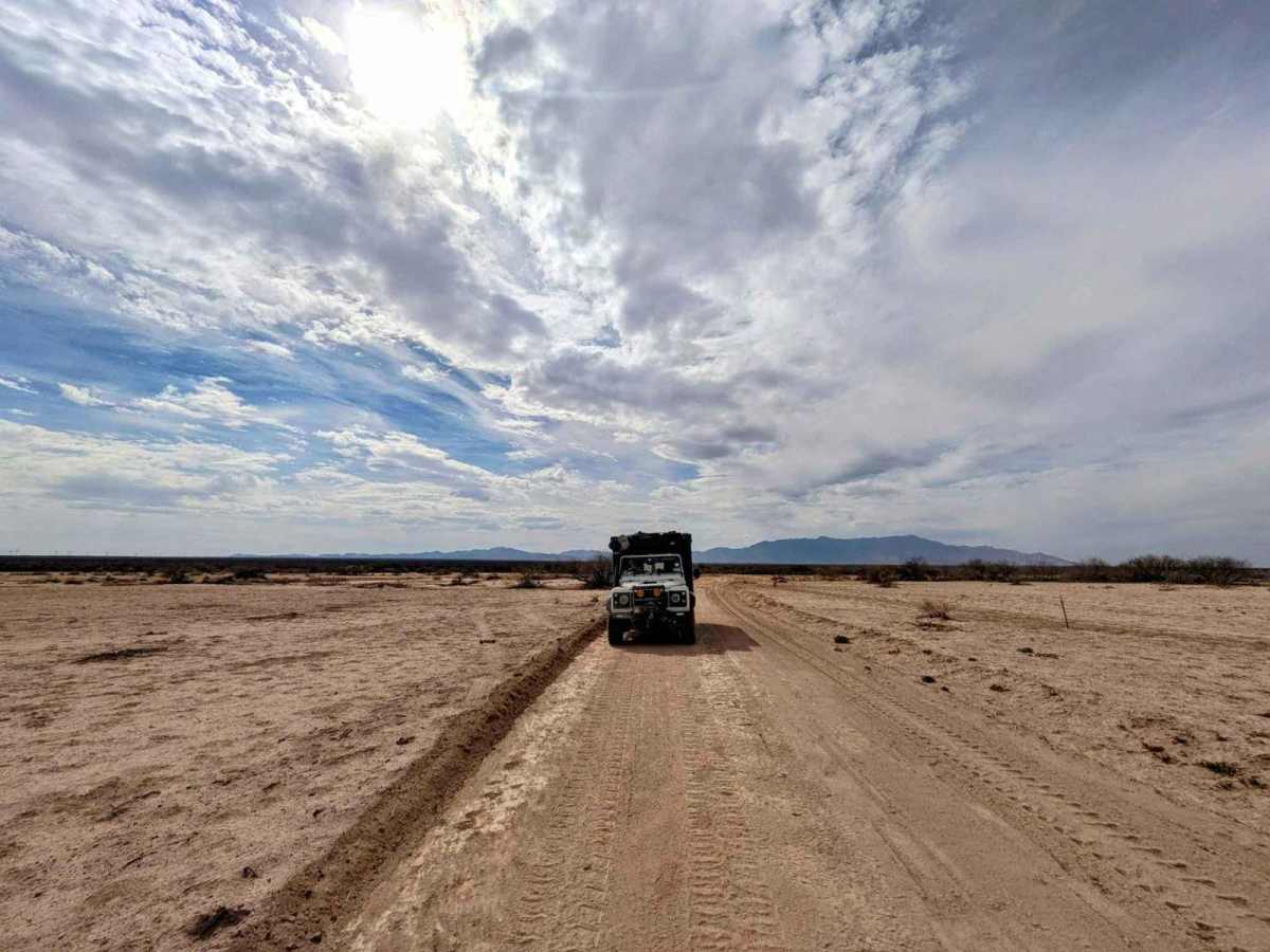
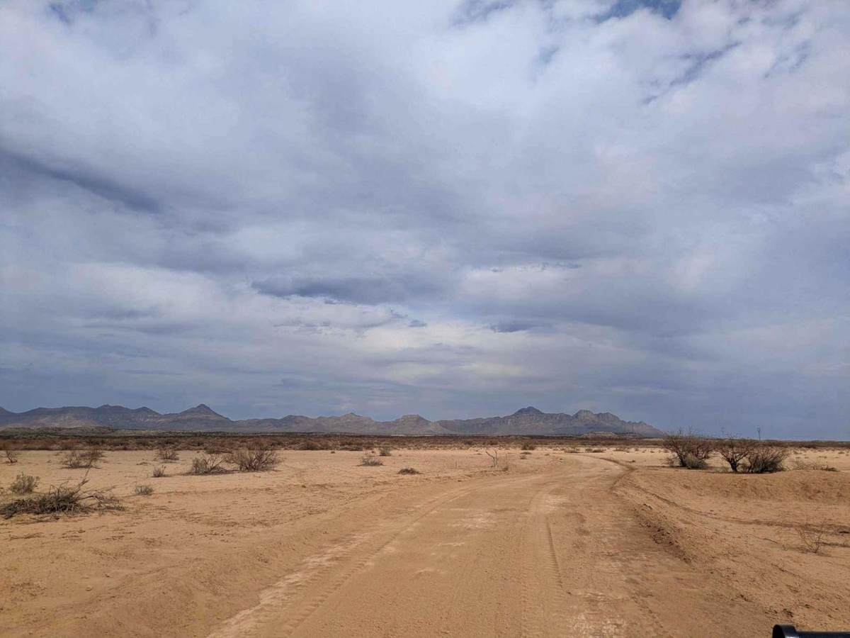
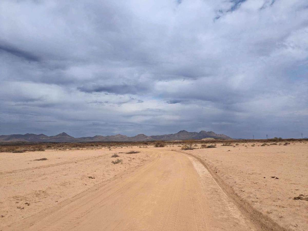
Trail Overview
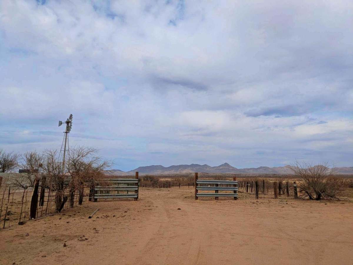
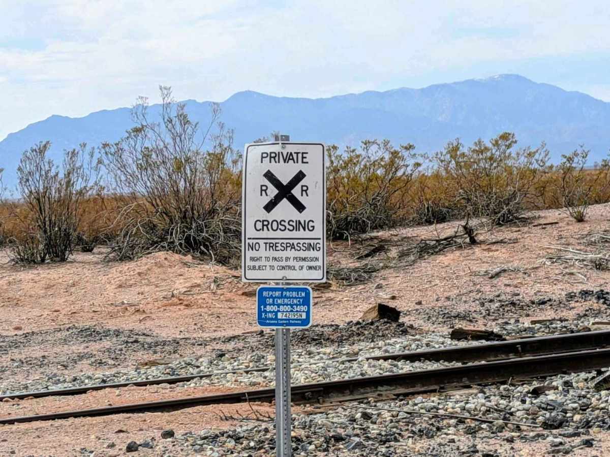
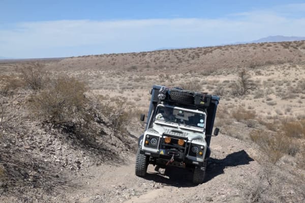
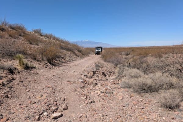
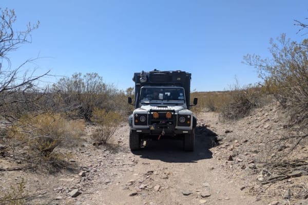
This trail connects the Railway Trail to the paved Haekel Road, which serves as the access road to the Hot Well Dunes Recreation Area. The initial portion of the trail is smooth and maintained, but it soon drops into a wash with a steep descent and climb. Beyond the wash, the route becomes increasingly dusty, with sections of thick, cloying bull dust that can make travel more difficult. The trail crosses private land, although there are no gates or signs indicating restricted access. There are no amenities along this route--no water, no trash disposal--and cell service is limited. Dispersed camping is not permitted or feasible along this trail.
History
Around two million years ago, a shallow lake covered what is now southeastern Arizona. As the lake dried up, its sandy shores were shaped by wind into the dunes that define today's Hot Well Dunes Recreation Area. In the late 1920s, while drilling for oil in the San Simon Valley, workers unexpectedly struck geothermal water. The resulting artesian well still produces over 250 gallons per minute at a temperature of 106 degrees. Today, the Hot Well Dunes Recreation Area spans 2,000 acres of BLM-managed sand dunes, offering off-highway vehicle recreation, camping, and soaking in natural hot tubs fed by the artesian spring.