BLM GB1020

Total Miles2.7
Technical Rating
2Easy
Best TimeSpring, Summer, Fall, Winter
Trail TypeFull-Width Road
Accessible By
Open Trail Map

Trail Overview

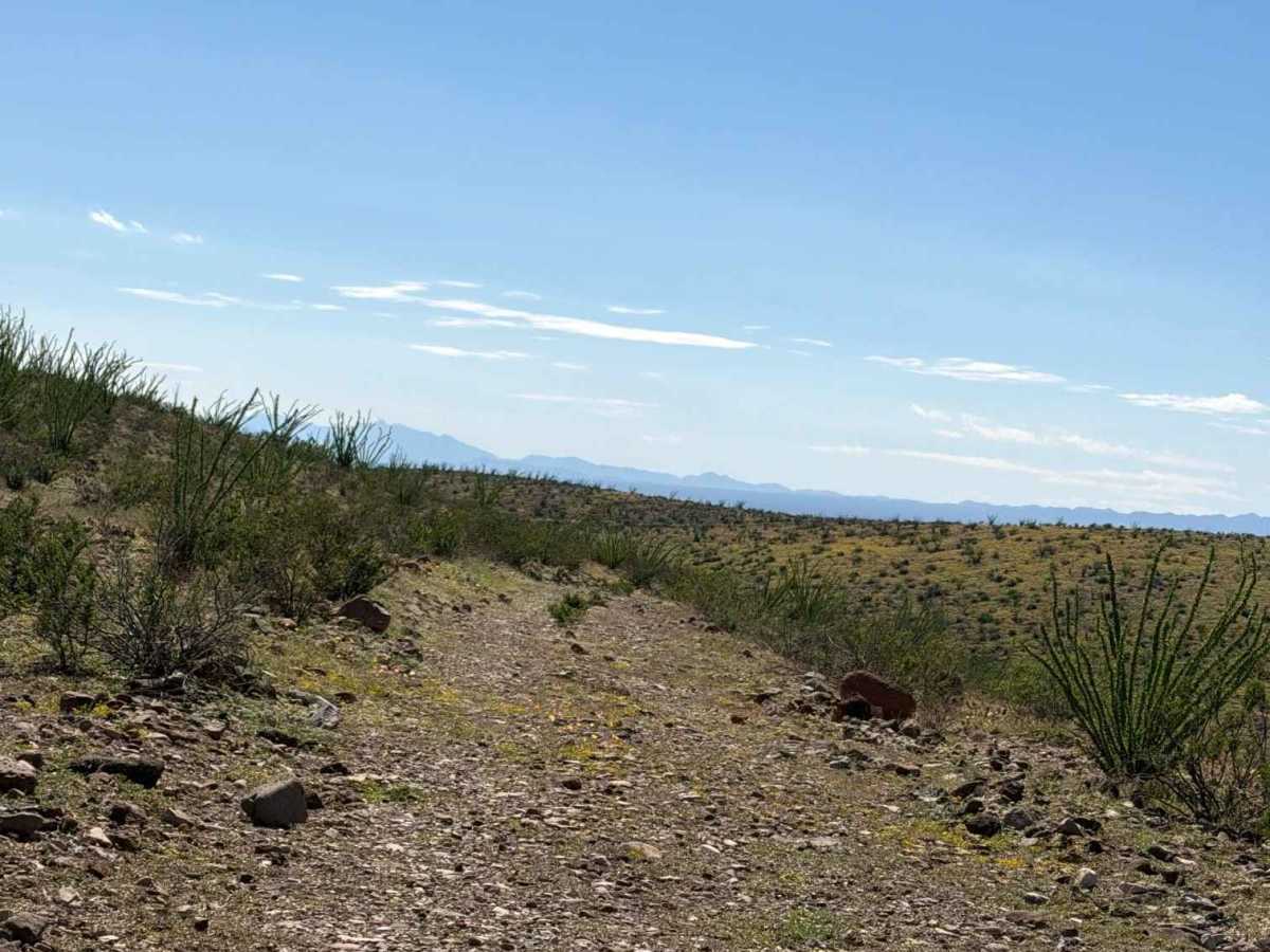
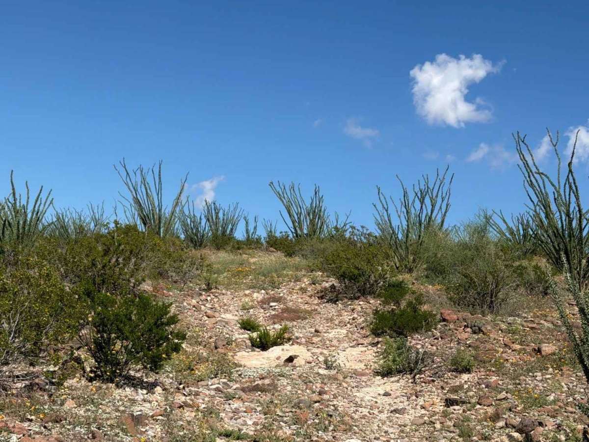
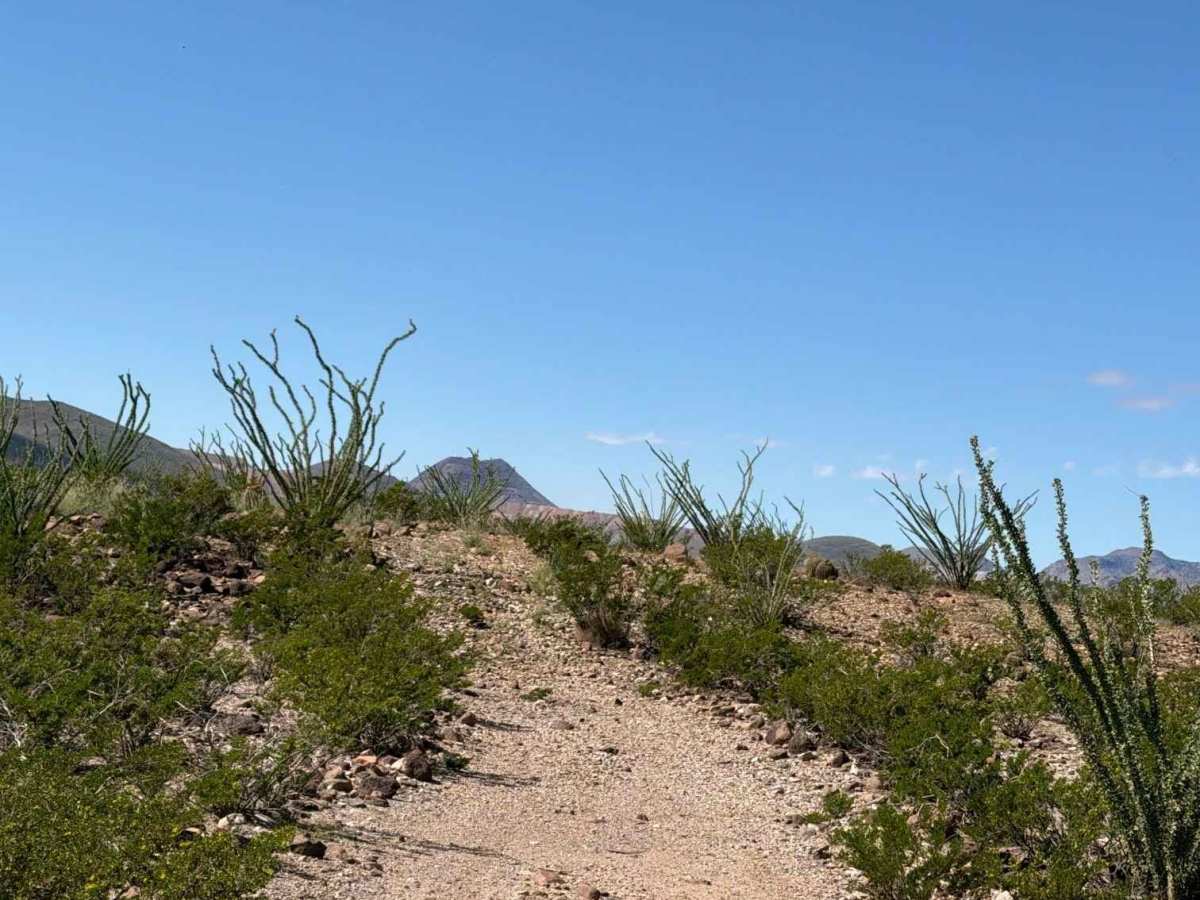
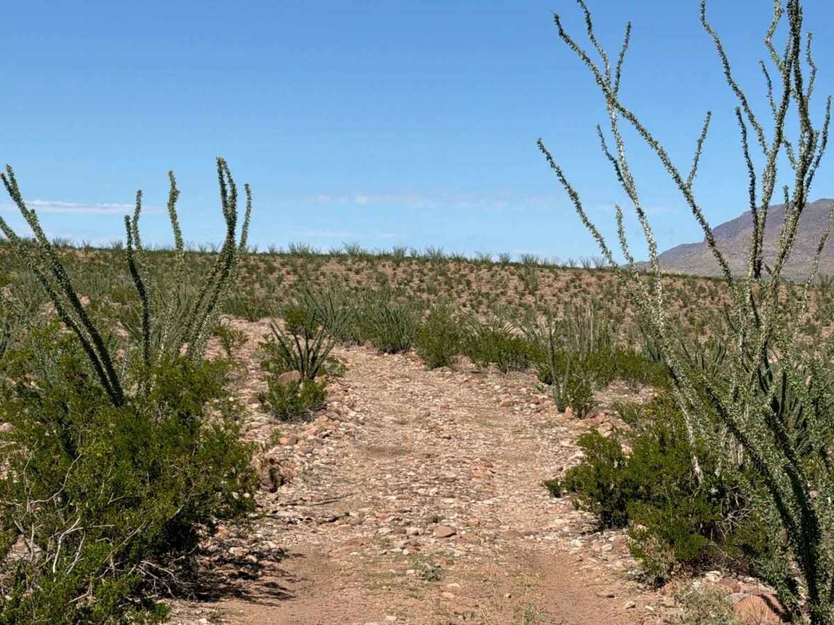
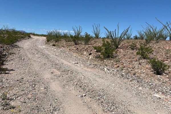
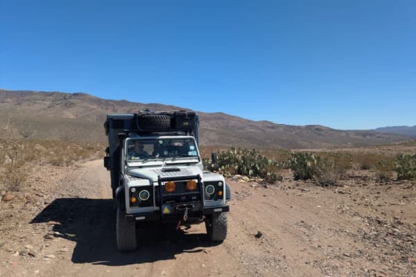
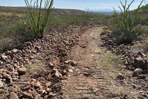
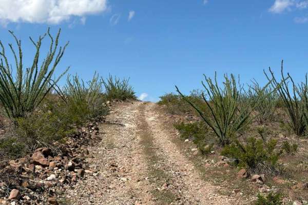
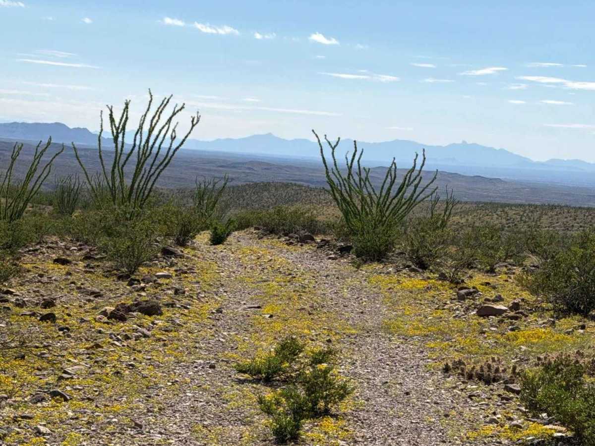
Trail GB1020 is an out-and-back trail along the ridgeline, surrounded by ocotillo, creosote, and barrel cactus. The route is relatively easy and flat overall, with a few bumps, ruts, and short hills in the middle section. A few creosote bushes grow in the center of the trail. The trail offers excellent views of the surrounding mountains and ends at the top of the final hill at an overlook. A water tank is located on the southwest side of the trail; from the tank, the climb becomes significantly steeper with exposed rock, and high clearance is recommended. Unique water catchment instruments are located at the top of the two hiking trails.

Photos of BLM GB1020

Difficulty

Rocks under 12 inches, with relatively flat and bumpy terrain. No obstacles or technical sections. The route out from the tank includes an uphill climb with some exposed rock transitions. 4WD or 2WD with high clearance recommended.

Technical Rating

2

BLM GB1020 Trail can be accessed by the following ride types:

  • Single Track
  • 50 Inch
  • 60 Inch
  • High Clearance
  • Full Width

BLM GB1020 Map

The onX Offroad Difference

onX Offroad combines trail photos, descriptions, difficulty ratings, width restrictions, seasonality, and more in a user-friendly interface. Available on all devices, with offline access and full compatibility with CarPlay and Android Auto. Discover what you're missing today!

Open Trail Map