Trail Overview
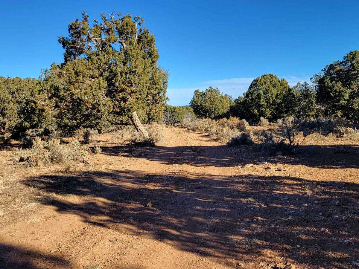
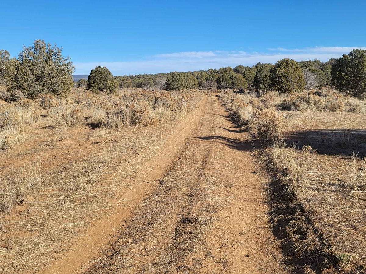
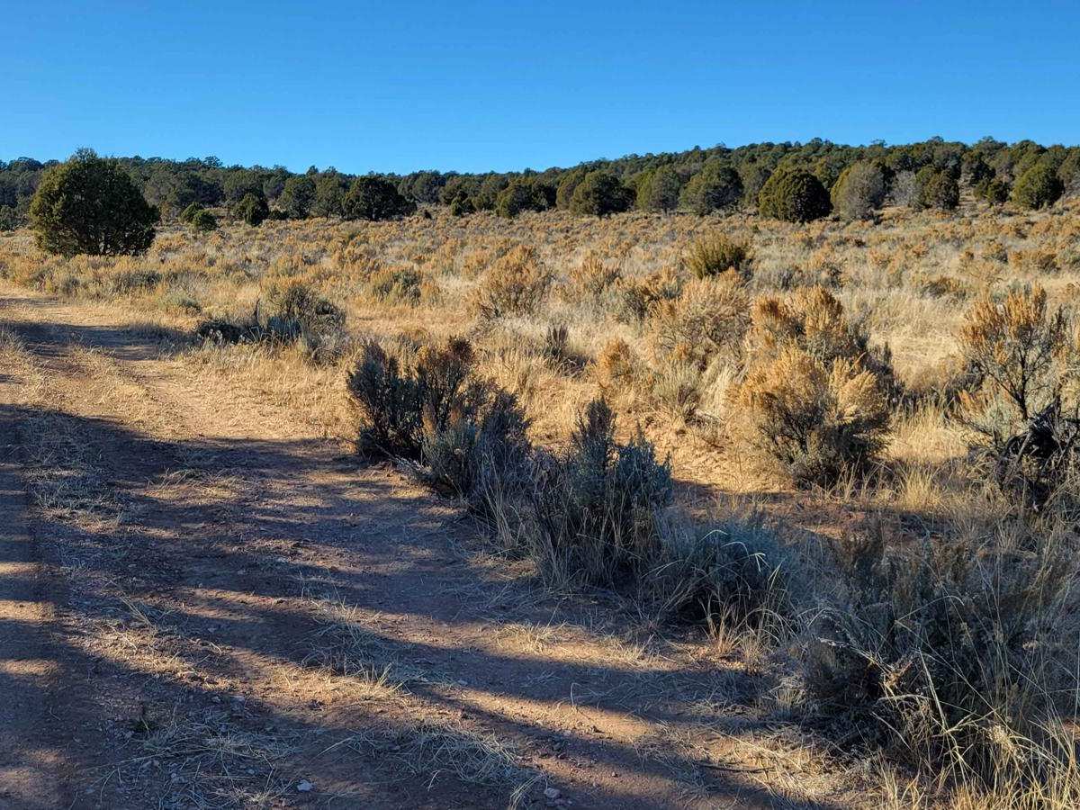
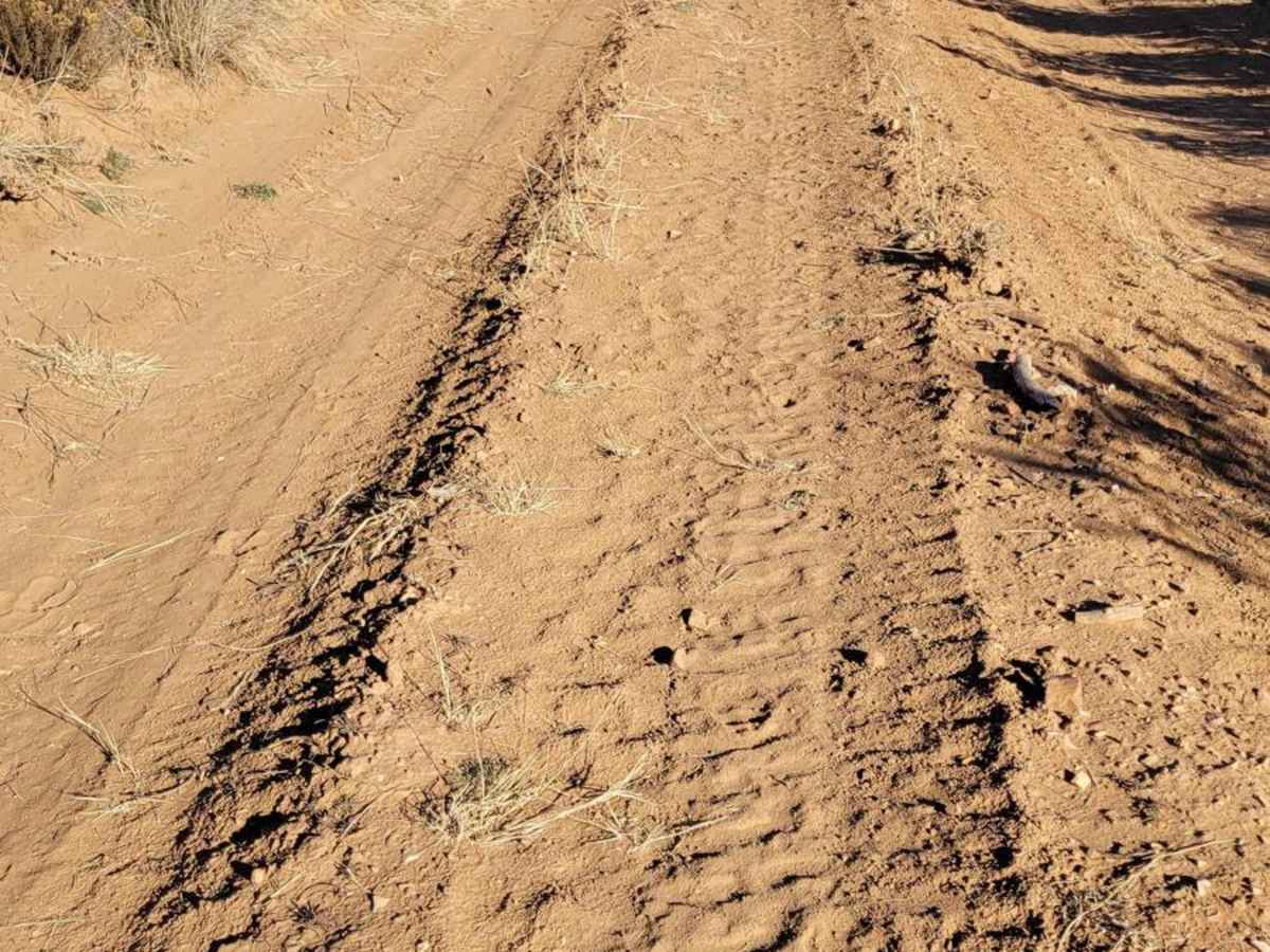
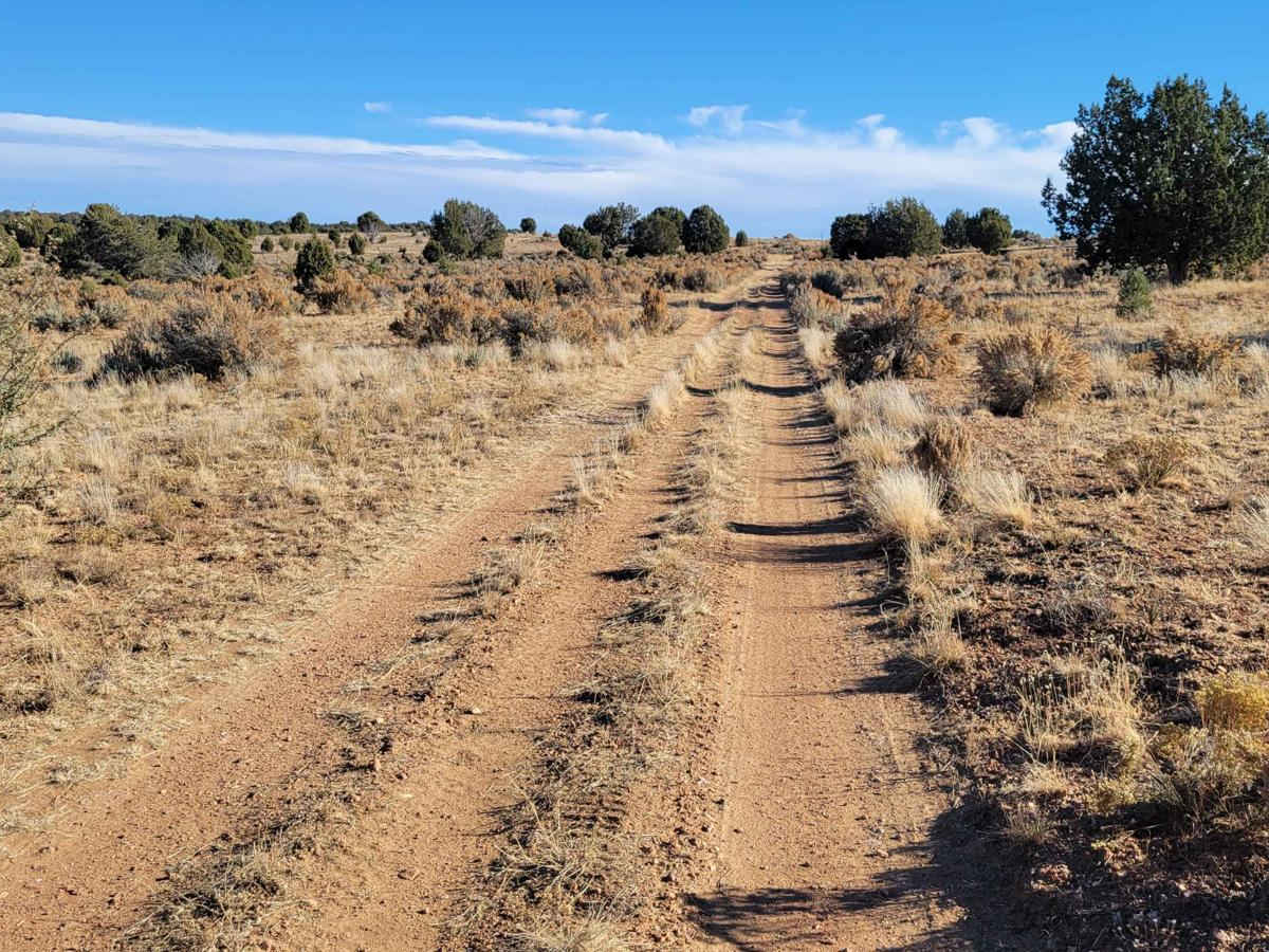
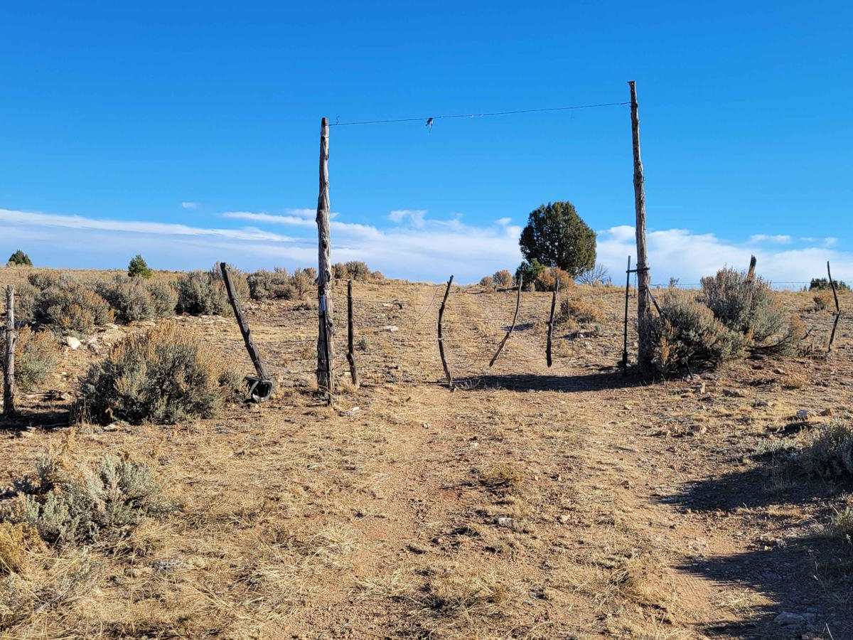
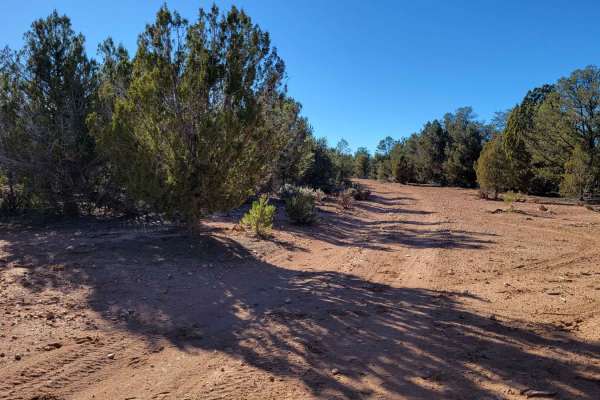
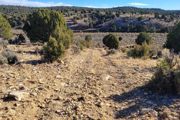
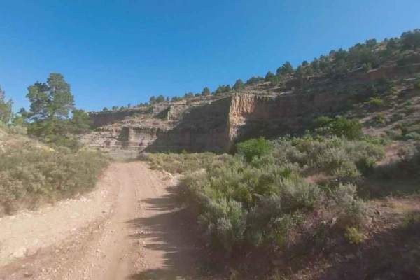
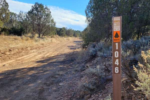
BLM 1647 is an unmarked (no trail markers) connector trail between County Highway 103 and BLM 1648/Grassy Point Road (BLM 1046). This route is a wide two-track trail that is suitable for full-size vehicles and is an alternative route for BLM 1648. Beginning off County Highway 103, the trail is easy and simple as it meanders its way through the desert grasslands, gradually making its way up into the hills. Once into the hills, the trail becomes a little more rough with a few erosion ruts and uneven terrain. A prominent livestock gate will be encountered on your way up/down the hill--please be sure to close it once you pass. Livestock are free-roaming and can be on the trail so be on the lookout. As a reminder, the Arizona Strip is incredibly remote with no service and hardly any visitors. Summer months will reach triple-digit temperatures and freezing temperatures in the winter months. Be prepared when venturing out here.
Difficulty
This route is a wide two-track trail that is suitable for full-size vehicles. Beginning off County Highway 103, the trail is easy and simple as it meanders its way through the desert grasslands, gradually making its way up into the hills. Once into the hills, the trail becomes a little more rough with a few erosion ruts and uneven terrain.