Trail Overview
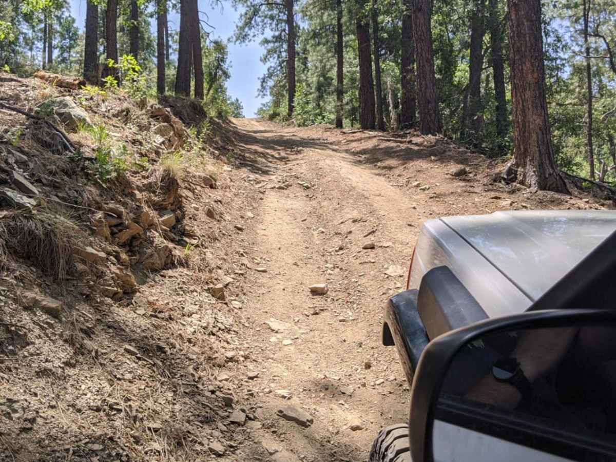
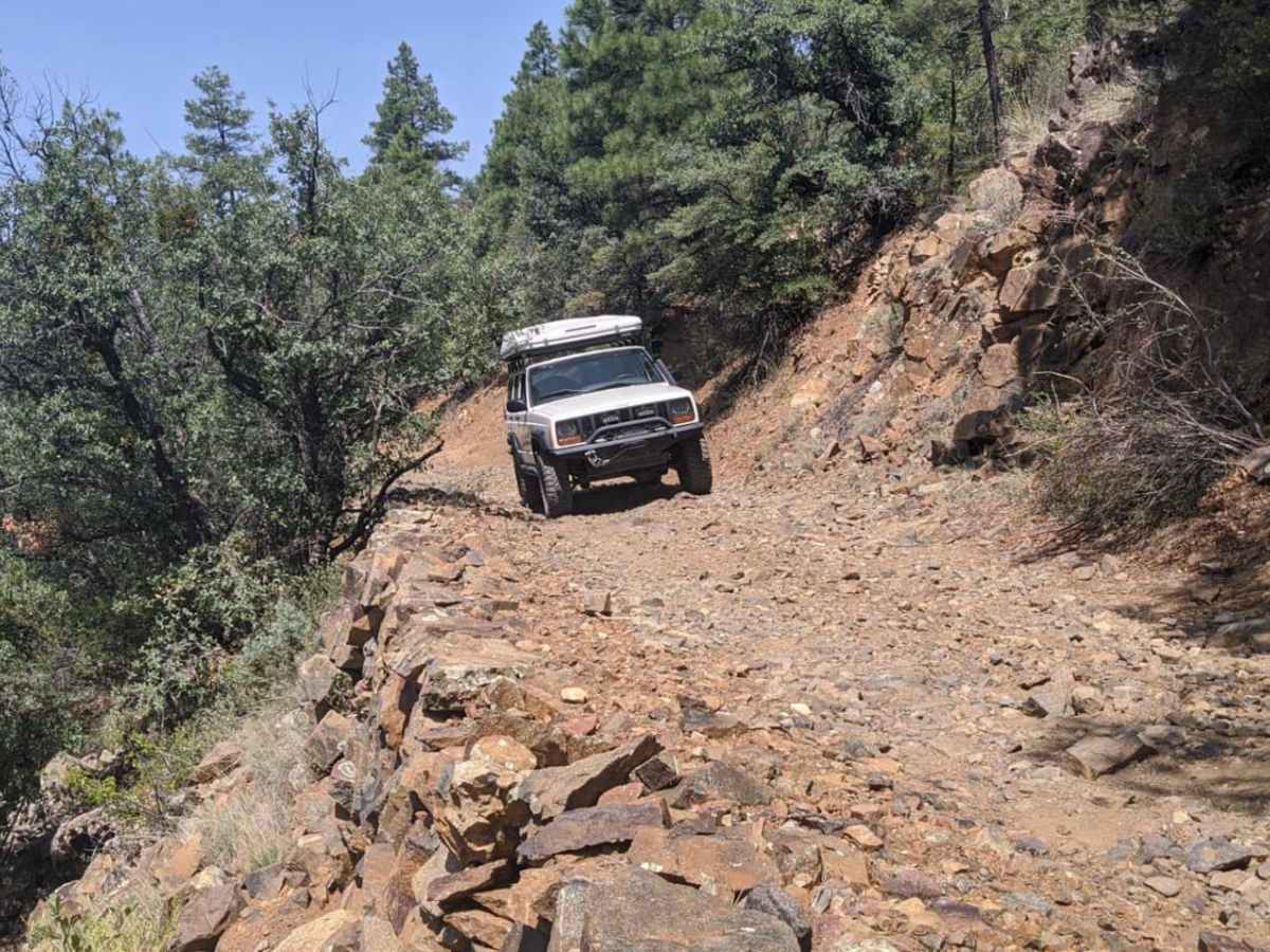
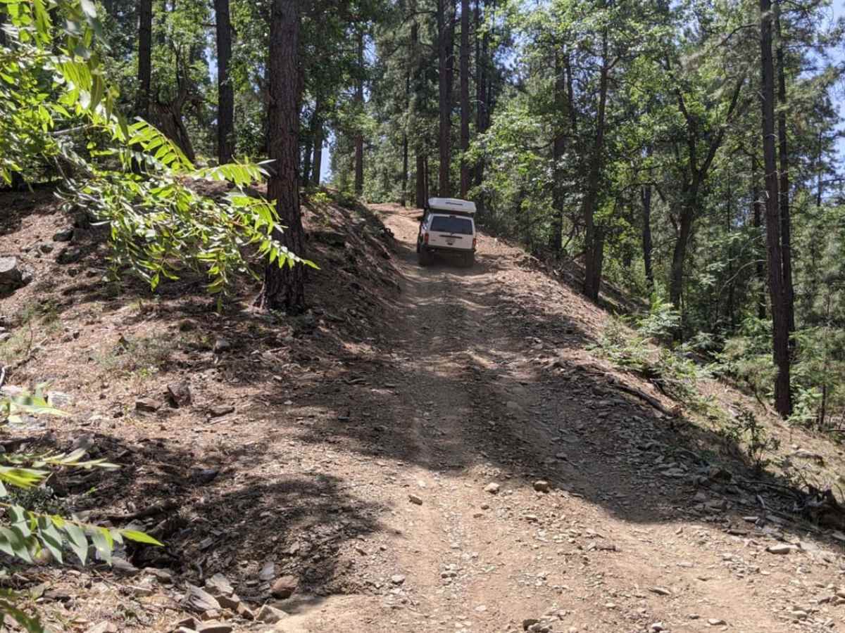
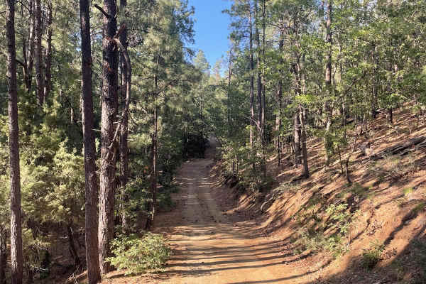
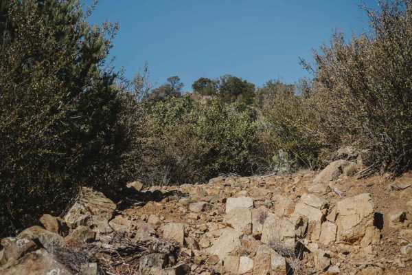
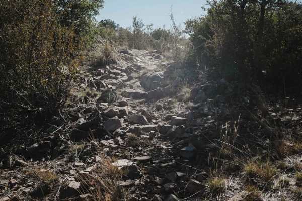
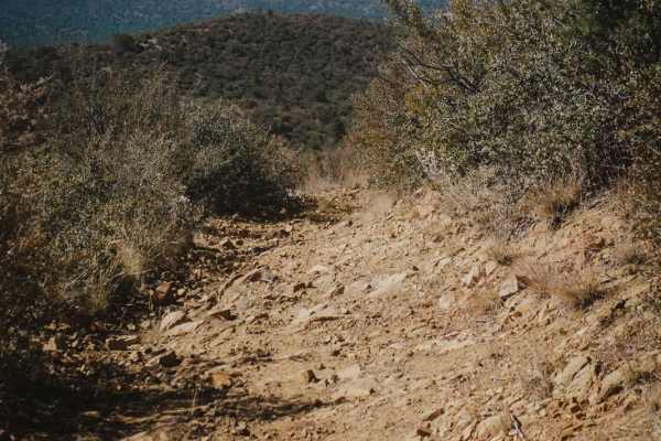
Bannie and Amulet Mine is a scenic 3.2-mile off-road trail perfect for stock four-wheel-drive vehicles, high-clearance SUVs, and SxSs looking to explore Arizona's rich mining history amidst a beautiful ponderosa pine forest. Climbing through the Prescott National Forest from an elevation of 5,808 feet up to a peak of 6,526 feet, this route offers an approachable yet engaging technical rating of 3 out of 10. The journey features 723 feet of elevation gain along a primarily dirt and rocky surface. While much of the trail is relatively easy-going, drivers will encounter a steep hill climb that requires careful tire placement and steady momentum. This climb is prone to erosion and washouts, which often expose slick tree roots and deep ruts.
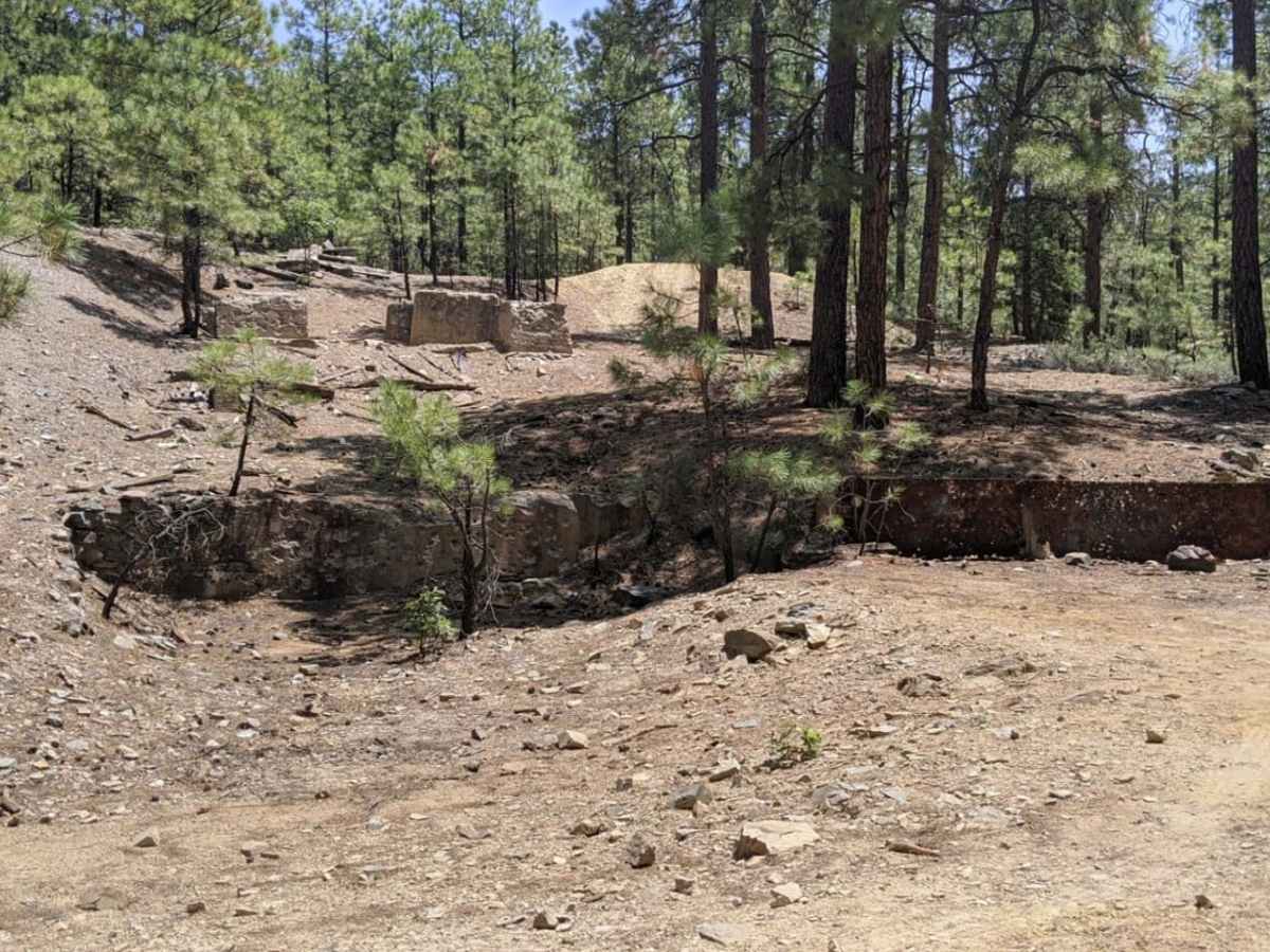
Along the route, travelers will pass landmarks such as Wood Spring, Bannie Tank, and Chaparral Tank, with the trail culminating near the historic remains of the Bannie and Amulet mines. While very little evidence remains of the Bannie Mine, the Amulet Mine site still showcases historic concrete foundations and scattered metal artifacts just off the side of the trail. Proper gearing is essential on the steep sections to prevent tire spin, which can damage delicate pine roots and cause vehicles to slide on the narrow mountain road. It is highly recommended to avoid this trail during wet weather or snow, as mud makes the hill climb significantly more difficult and increases trail damage. Cell service is extremely limited throughout this canyon, so downloading offline maps is crucial before heading out.
Difficulty
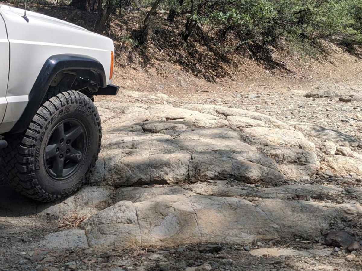
Most of the trail is just rocky or dirt road. The one hill climb is steep, but not very hard, as long as the trail is dry.
History
The trail leads to the historic remains of two old mining sites. While very little evidence remains of the Bannie Mine, the Amulet Mine site showcases historic concrete foundations and scattered metal artifacts just off the side of the trail.
Access Description
Cell service is extremely limited in this canyon area, making downloaded offline maps essential. High-clearance vehicles with proper gearing are recommended to climb the steep, rutted hill section. Avoid using this trail during wet weather or snow to prevent resource damage and vehicle slippage.

 Offroad