Trail Overview
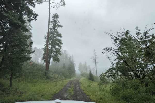
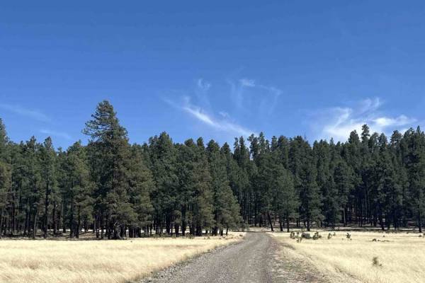
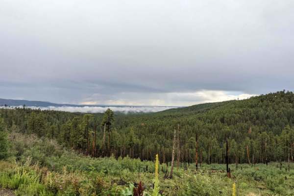
Aker Lake Road (FS 8312) is a moderately challenging backcountry route suited for high-clearance 4x4 drivers looking to explore a quiet, less-traveled corner of the Apache-Sitgreaves National Forest. Beginning off US-191 near Fish Creek in eastern Arizona, the route winds through forested terrain and follows sections of the creek corridor, offering a mix of compact dirt and gravel surfaces that can quickly degrade with weather. While not technically difficult in dry conditions, the road’s narrow profile, intermittent ruts, and uneven sections require careful tire placement and steady driving, especially where the route hugs the creek with limited space to pass or turn around.
The road gradually climbs and descends with mild elevation changes as it approaches the Aker Lake area, with a well-traveled spur leading to the lake. Expect potential hazards such as washouts, muddy stretches, and standing water after storms, particularly during Arizona’s monsoon season when creek levels can rise quickly and flood adjacent sections of the trail. The route is typically best traveled in late spring through fall, as winter snow and saturated soils can make it impassable. Due to its remote setting and lack of cell service, travelers should be self-sufficient and prepared for changing conditions and offline navigation.